Old Maps of Antioch, Kansas for Hiking & Exploration
Hike through history with 13 historic maps of Antioch. Explore old trails, ghost towns, and forgotten backroads — perfect for outdoor adventurers and local explorers.
- Rediscover forgotten places: Map out old mining camps, roads, and footpaths that no longer exist on modern maps.
- Layer with modern tools: Combine with LiDAR or satellite views to plan hikes through historical terrain.
- Made for exploration: Popular among hikers, overlanders, and local history lovers.
Use these maps to find adventure and explore the hidden past of Antioch.
Antioch, KS maps
(13)- 1887 Map of Olathe
 1887 Olathe1887 Print · USGSEastern Kansas and the Missouri borderlands were being transformed by rail during the 1880s. Genealogists and historians can trace early town sites and railroad corridors like the Kansas City Clinton and Springfield Railroad and settlements from Lenexa to Osawatomie.
 - 1893 Map of Olathe
 1893 Olathe1893 Print · USGSThe Kansas-Missouri border thrived during the late nineteenth century as a hub for expanding railroads and prairie commerce. Genealogists and historians can trace the early rail networks and locate frontier settlements like New Santa Fe, Olathe, and Paola.6 unique versions available
 - 1947 Map of Lawrence, 1954 Print
 1947 Lawrence1954 Print · USGSEastern Kansas and western Missouri thrive in the late 1940s, showing a landscape defined by major river valleys and a dense railway network. Genealogists can trace family settlements from Lawrence to Greenwood and locate landmarks like Olathe Navy and Lake Lotawana.
 - 1950 Map of Lawrence
 1950 Lawrence1950 Print · USGSMid-century Kansas and Missouri come alive in this map of the river-valley corridors just as the interstate era was beginning. Researchers can trace the legacy of major rail lines like the Union Pacific RR and locate ancestral roots in towns from Lawrence to Harrisonville.
 - 1956 Map of Lawrence, 1967 Print
 1956 Lawrence1967 Print · USGSEastern Kansas and the Missouri border country are captured here during the mid-century transition to the interstate era. Genealogists and local historians can trace family-named terrain like Summers Mound and the footprint of Sunflower Ordnance Works near Baldwin City.4 unique versions available
 - 1957 Map of Antioch, 1958 Print
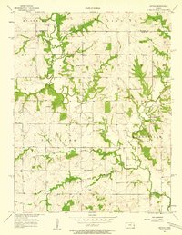 1957 Antioch1958 Print · USGSNortheast Kansas rural life is captured here in the late fifties, where the border of Johnson and Miami counties meets. Genealogists and local historians can trace the locations of several country schoolhouses and churches, including North Windy Sch, Scott Valley Sch, and the Home Holding Cem.2 unique versions available
 - 1961 Map of Lawrence
 1961 Lawrence1961 Print · USGSThe Kansas-Missouri borderland shows its mid-century transition from a rail-dependent agricultural region to a suburbanizing landscape. Genealogists can trace family footprints through numerous Cem sites and distinctive terrain landmarks like Graves Mound and Summers Mound.
 - 1983 Map of Olathe, 1984 Print
 1983 Olathe1984 Print · USGSThe Kansas-Missouri borderlands hum with suburban growth and historic transit routes in the early eighties. Researchers can trace the Santa Fe Trail across a landscape featuring Richards-Gebaur Air Force Base and Hillsdale Lake.
 - 2010 Map of Antioch, 2010 Print
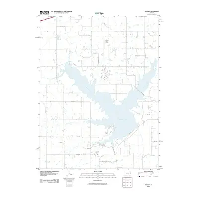 2010 Antioch2010 Print · USGSThe hills of southern Johnson County meet the waters of Hillsdale Lake in the early twenty-first century. Genealogists and local historians can trace family land near Antioch or locate landmarks like Hayden Farm Airport and Bull Creek.
 - 2012 Map of Antioch, 2012 Print
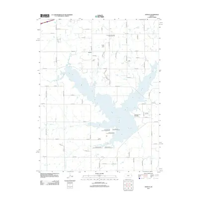 2012 Antioch2012 Print · USGSInland Johnson County underwent a major transformation following the damming of these waters, creating a massive reservoir. Trace the impact on family lands and rural roads near Antioch, while locating sites like Scotts Valley Cem and Hillsdale Lake.
 - 2015 Map of Antioch, 2015 Print
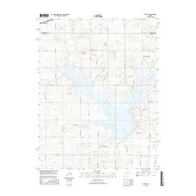 2015 Antioch2015 Print · USGSThe borderlands of Johnson and Miami Counties are mapped here in the mid-2010s, showing a rural landscape defined by the expansive Hillsdale Lake. Researchers can trace local lineage through several burial sites like Marysville Cem - Old or locate the small settlement of Antioch.
 - 2018 Map of Antioch, 2018 Print
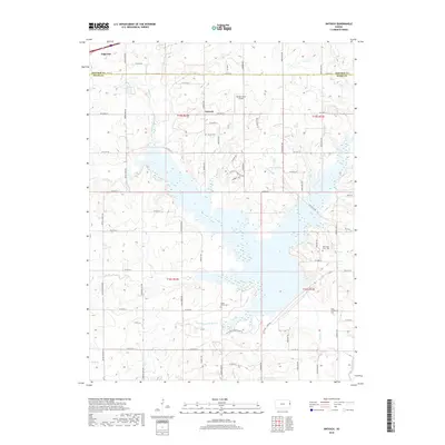 2018 Antioch2018 Print · USGSThe Johnson and Miami county line in the late 2010s shows a landscape of rural homesteads and sprawling creek networks. Researchers can trace family history at Scotts Valley Cem and Antioch Cem or locate local landmarks like Hayden Farm Airport.
 - 2022 Map of Antioch, 2022 Print
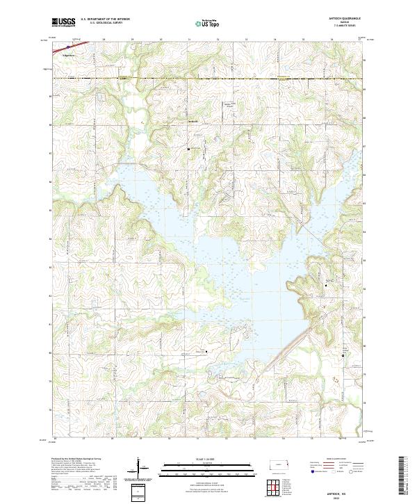 2022 Antioch2022 Print · USGSThe Johnson and Miami county line comes alive in the early twenty-first century, centered on the expansion of Hillsdale Lake. Genealogists and local historians can trace family ties at the Marysville Cem - Old, Antioch Cem, and the rural airfield at Hayden Farm Airport.
End of results
Showing maps 1-13 of 13
Top cities near Antioch
- Kansas City historical maps
- Overland Park historical maps
- Olathe historical maps
- Lawrence historical maps
- Lenexa historical maps
- Gardner historical maps
See more
Frequently asked questions
- What are the different types of historical maps available for Antioch?
- What is the oldest map of Antioch?
- Where can I purchase historical maps of Antioch for my home or office?
- Where can I download high-res historical maps of Antioch?
- Are there historical topographic maps available for Antioch?
- Is there historical aerial imagery available for Antioch?
- Where are historical maps of Antioch sourced from?