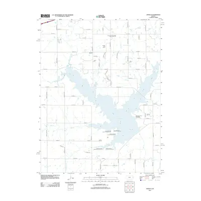
2012 Map of Antioch
USGS Topo · Published 2012About this map
Hillsdale Lake dominates the central and southern portions of this landscape, its fingers reaching up through several drainages including Wade Br, Scott Br Bull Cr, and Tuggle Br. The reservoir's creation significantly altered the local geography, surrounding various recreational sites like the Hillsdale State Park Saddle Ridge Campground and Hillsdale State Park Pintail Point Camping Area.
Find a feature on this map
63 named features on this map. Tap any name to fly to it.
Don’t see what you’re looking for? This feature index may not catch every label — zoom into the map to look around manually.
Map Details
Editions of this 2012 Antioch Map
This is the sole edition of this map. No revisions or reprints were ever made.
Other maps of this area
1885 · Lawrence
USGS Topo · 1:125,000

1887 · Olathe
USGS Topo · 1:125,000
1889 · Lawrence
USGS Topo · 1:125,000

1893 · Olathe
USGS Topo · 1:125,000

1947 · Lawrence
USGS Topo · 1:250,000

1950 · Lawrence
USGS Topo · 1:250,000
1956 · Wellsville
USGS Topo · 1:24,000
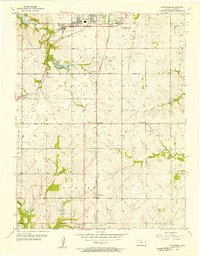
1956 · Ocheltree
USGS Topo · 1:24,000
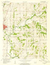
1956 · Paola East
USGS Topo · 1:24,000
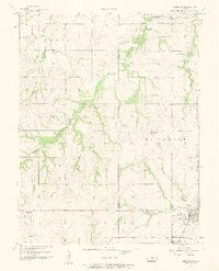
1956 · Edgerton
USGS Topo · 1:24,000