Old Maps of Peabody, Kentucky for Genealogy
Trace your family roots with 11 historic maps of Peabody. These high-res maps reveal old neighborhoods, homesites, landmarks, and streets — helping you uncover where your ancestors lived and how the area evolved over time.
- Explore historic neighborhoods: Identify where your relatives may have lived in the 1800s or 1900s.
- Compare maps over time: Trace the changes in streets, buildings, and landmarks for multi-generational research.
- Perfect for genealogy & ancestry research: Used by family historians and researchers to map out lineage and migration.
These maps are an incredible resource for exploring your personal connection to Peabody's past.
Peabody, KY maps
(11)- 1891 Map of Manchester
 1891 Manchester1891 Print · USGSEastern Kentucky's mountain settlements and early salt industry come to life in the years following the Reconstruction era. Genealogists and historians can locate early family landmarks such as Moore Store, the Salt Works, and Boush Store.7 unique versions available
 - 1953 Map of Big Creek, 1954 Print
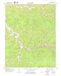
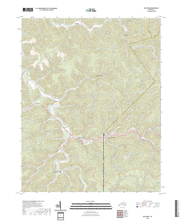
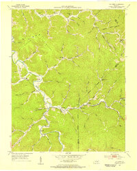 1953 Big Creek1954 Print · USGSThe Red Bird River valley in the early fifties shows a landscape of mountain hollows and riverside communities. Genealogists can trace family footprints at Brutus Ch, New Berry Sch, and old settlements like Big Creek or Peabody.2 unique versions available
 - 1957 Map of Jenkins, 1974 Print
 1957 Jenkins1974 Print · USGSThe Cumberland Plateau in the mid-twentieth century reveals a complex landscape of winding river valleys and deep-seated industry. Genealogists and historians can trace the development of Hazard, Jenkins, and Pikeville alongside extensive Numerous Oil and Gas Fields and the routes of the Chesapeake & Ohio Railway.
 - 1960 Map of Jenkins
 1960 Jenkins1960 Print · USGSEastern Kentucky and the West Virginia borderlands are captured at a mid-century peak of the coal and rail era. Trace the industrial corridors of the Chesapeake and Ohio RR through mountain hubs like Hazard and Jenkins.
 - 1977 Map of Hazard, 1983 Print
 1977 Hazard1983 Print · USGSEastern Kentucky's coal country comes into sharp focus during the late seventies, showing the deep-set river valleys and mountain gaps that shaped regional life. Genealogists can trace family connections through river-bottom settlements like Oneida, Krypton, and Bulan or follow the Seaboard System rail lines.
 - 1979 Map of Big Creek
 1979 Big Creek1979 Print · USGSClay County and the surrounding coal country are captured here in the late seventies as industrial mining and modern highways reshaped the hills. Local researchers can locate family sites and landmarks near Big Creek, the Daniel Boone Parkway, and the Red Bird River.
 - 2011 Map of Big Creek, 2011 Print
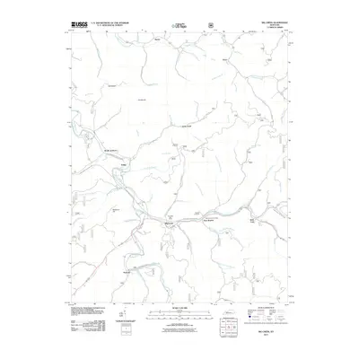 2011 Big Creek2011 Print · USGSCovers Peabody, including Jacks Creek, Brutus, and other nearby areas
 - 2013 Map of Big Creek, 2013 Print
 2013 Big Creek2013 Print · USGSCovers Peabody, including Jacks Creek, Brutus, and other nearby areas
 - 2016 Map of Big Creek, 2016 Print
 2016 Big Creek2016 Print · USGSCovers Peabody, including Jacks Creek, Brutus, and other nearby areas
 - 2019 Map of Big Creek, 2019 Print
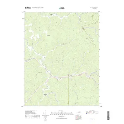 2019 Big Creek2019 Print · USGSCovers Peabody, including Jacks Creek, Brutus, and other nearby areas
 - 2022 Map of Big Creek, 2022 Print
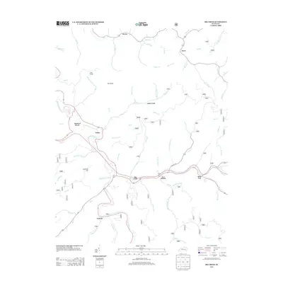
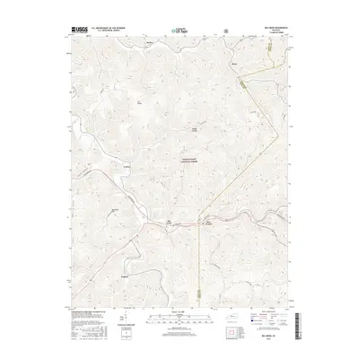
 2022 Big Creek2022 Print · USGSClay County at the start of the 2020s is defined by its deep hollows and the enduring settlements of Big Creek and Bear Branch. Genealogists and hikers can trace the Redbird Crest Trl or locate the Roberts Cem near Eriline.
End of results
Showing maps 1-11 of 11
Top cities near Peabody
Frequently asked questions
- What are the different types of historical maps available for Peabody?
- What is the oldest map of Peabody?
- Where can I purchase historical maps of Peabody for my home or office?
- Where can I download high-res historical maps of Peabody?
- Are there historical topographic maps available for Peabody?
- Is there historical aerial imagery available for Peabody?
- Where are historical maps of Peabody sourced from?