2000s (21st Century) Maps of Madisonville, Kentucky
Explore 20 historic maps of Madisonville from the 2000s (21st Century). These maps offer a rare glimpse into what life looked like during the 2000s — showing old roads, neighborhoods, homes, and landmarks that have changed or disappeared over time.
Whether you're researching your family's past, planning a metal detecting trip, or studying how Madisonville's landscape evolved across the 2000s, these high-resolution maps are a powerful tool for exploring the history of this region.
- Focus on a specific era: All maps on this page are from the 2000s, giving you a focused view of this time period.
- See what’s changed: Compare century-old streets, trails, and buildings to today's modern landscape using overlays and satellite layers.
- Research with precision: Use these maps for genealogy, historical research, land use analysis, or educational projects.
- View, download, or print: Maps are fully viewable online in high resolution, and can be downloaded or printed for your own records.
Start exploring Madisonville's history through authentic maps from the 2000s. This is your window into the past.
Madisonville, KY maps
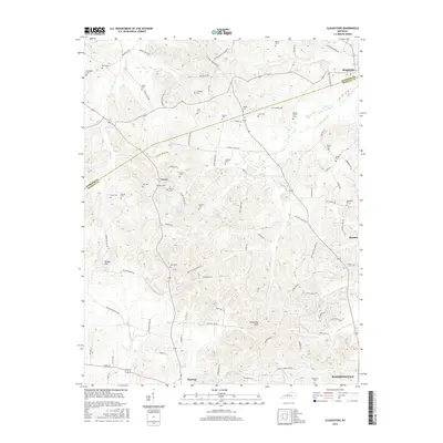
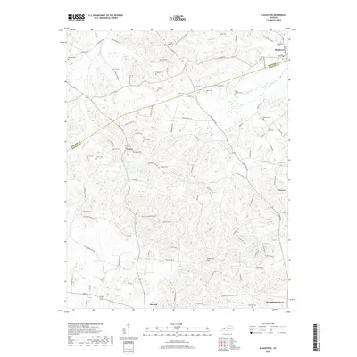
(20)- 2010 Map of Slaughters, 2010 Print
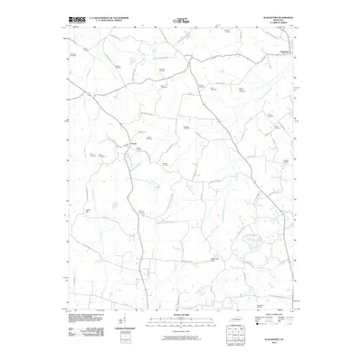 2010 Slaughters2010 Print · USGSCovers Madisonville, including Hanson, Slaughters, and other nearby areas
 - 2010 Map of Madisonville East, 2010 Print
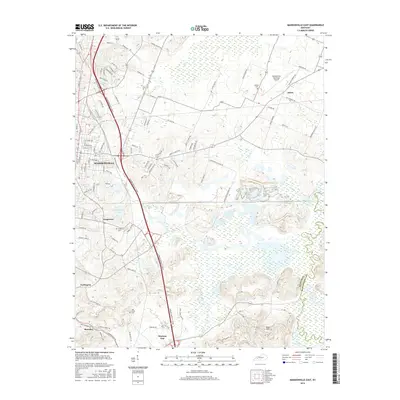
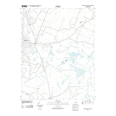 2010 Madisonville East2010 Print · USGSCovers Madisonville, including Earlington, Mortons Gap, and other nearby areas
 - 2010 Map of Hanson, 2010 Print
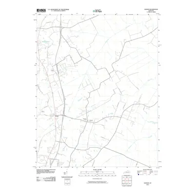 2010 Hanson2010 Print · USGSCovers Madisonville, including Hanson, Slaughters, and other nearby areas
 - 2010 Map of Madisonville West, 2010 Print
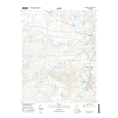
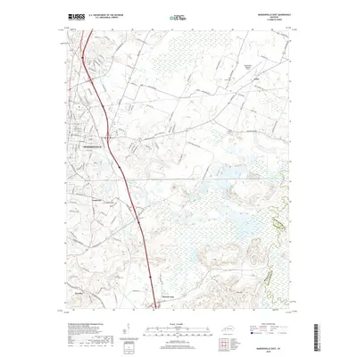
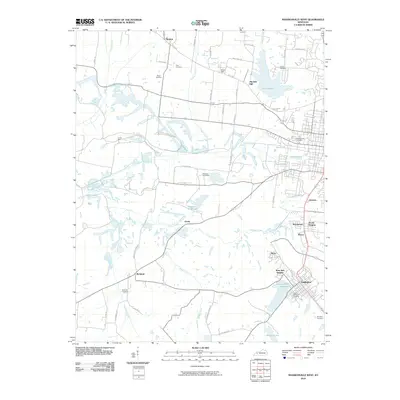 2010 Madisonville West2010 Print · USGSCovers Madisonville, including Earlington, Dozier Heights, and other nearby areas
 - 2013 Map of Madisonville West, 2013 Print
 2013 Madisonville West2013 Print · USGSCovers Madisonville, including Earlington, Dozier Heights, and other nearby areas
 - 2013 Map of Hanson, 2013 Print
 2013 Hanson2013 Print · USGSCovers Madisonville, including Hanson, Slaughters, and other nearby areas
 - 2013 Map of Slaughters, 2013 Print
 2013 Slaughters2013 Print · USGSCovers Madisonville, including Hanson, Slaughters, and other nearby areas
 - 2013 Map of Madisonville East, 2013 Print
 2013 Madisonville East2013 Print · USGSCovers Madisonville, including Earlington, Mortons Gap, and other nearby areas
 - 2016 Map of Slaughters, 2016 Print
 2016 Slaughters2016 Print · USGSCovers Madisonville, including Hanson, Slaughters, and other nearby areas
 - 2016 Map of Hanson, 2016 Print
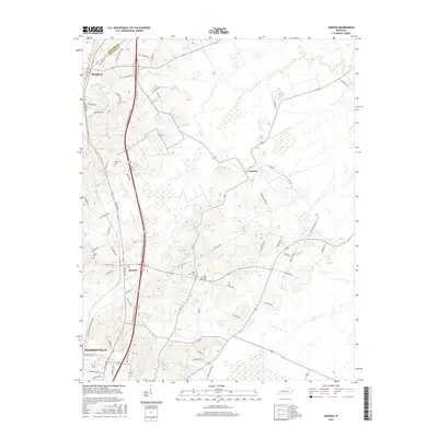 2016 Hanson2016 Print · USGSCovers Madisonville, including Hanson, Slaughters, and other nearby areas
 - 2016 Map of Madisonville East, 2016 Print
 2016 Madisonville East2016 Print · USGSCovers Madisonville, including Earlington, Mortons Gap, and other nearby areas
 - 2016 Map of Madisonville West, 2016 Print
 2016 Madisonville West2016 Print · USGSCovers Madisonville, including Earlington, Dozier Heights, and other nearby areas
 - 2019 Map of Slaughters, 2019 Print
 2019 Slaughters2019 Print · USGSCovers Madisonville, including Hanson, Slaughters, and other nearby areas
 - 2019 Map of Madisonville East, 2019 Print
 2019 Madisonville East2019 Print · USGSCovers Madisonville, including Earlington, Mortons Gap, and other nearby areas
 - 2019 Map of Madisonville West, 2019 Print
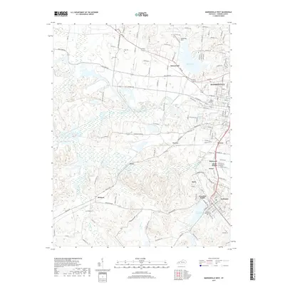 2019 Madisonville West2019 Print · USGSCovers Madisonville, including Earlington, Dozier Heights, and other nearby areas
 - 2019 Map of Hanson, 2019 Print
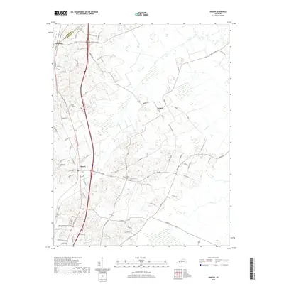 2019 Hanson2019 Print · USGSCovers Madisonville, including Hanson, Slaughters, and other nearby areas
 - 2022 Map of Slaughters, 2022 Print
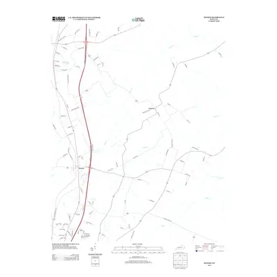
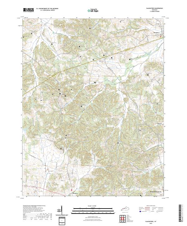 2022 Slaughters2022 Print · USGSThe borderlands of Webster and Hopkins counties are captured here in the early twenty-first century, showing a landscape deeply tied to family heritage. Genealogists can trace hundreds of names through sites like Trice-Strum Cem, Groves Cem, and the historic Veazey settlement.
 - 2022 Map of Madisonville West, 2022 Print
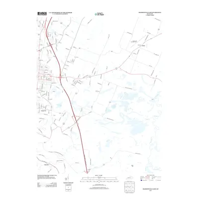
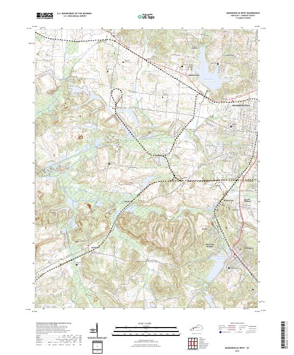 2022 Madisonville West2022 Print · USGSWestern Kentucky's coal country comes to life in this detailed survey, highlighting the expansion of Madisonville and Earlington. Trace family roots at Odd Fellows Cem or explore landmarks like Lake Peewee and the Shake Rag Hills.
 - 2022 Map of Madisonville East, 2022 Print
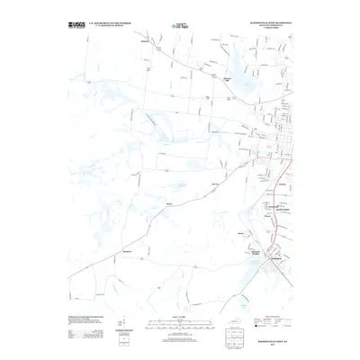
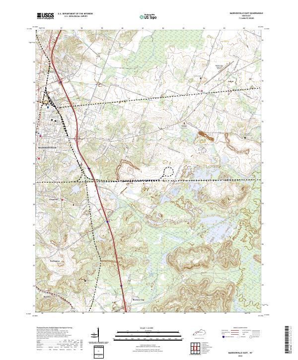 2022 Madisonville East2022 Print · USGSHopkins County, Kentucky, is shown in the modern era as a landscape of river-fed lowlands and established communities. Genealogists can trace family roots through several local burial grounds, including Eastside Odd Fellows Cem and Grapevine Cem.
 - 2022 Map of Hanson, 2022 Print
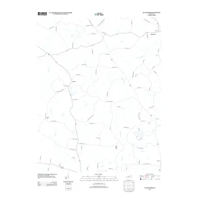
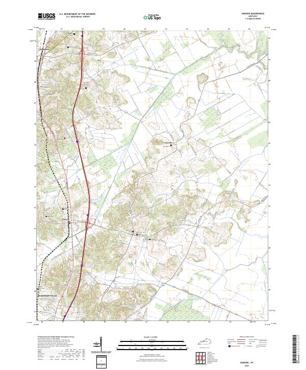 2022 Hanson2022 Print · USGSNorth of Madisonville in the early 2020s, this landscape shows the intersection of modern transit and deep rural history. Researchers can locate numerous family burial sites like Old Ashby Farm Cem and Hanson Cem while tracing the winding path of Otter Cr.
End of results
Showing maps 1-20 of 20
Top cities near Madisonville
- Providence historical maps
- Dawson Springs historical maps
- Earlington historical maps
- Nortonville historical maps
- Mortons Gap historical maps
- White Plains historical maps
See more
Top neighborhoods of Madisonville
Frequently asked questions
- What are the different types of historical maps available for Madisonville?
- What is the oldest map of Madisonville?
- Where can I purchase historical maps of Madisonville for my home or office?
- Where can I download high-res historical maps of Madisonville?
- Are there historical topographic maps available for Madisonville?
- Is there historical aerial imagery available for Madisonville?
- Where are historical maps of Madisonville sourced from?