2010s Maps of Laurel County, Kentucky
Explore 64 historic maps of Laurel County from the 2010s. These maps offer a rare glimpse into what life looked like during the 2010s — showing old roads, neighborhoods, homes, and landmarks that have changed or disappeared over time.
Whether you're researching your family's past, planning a metal detecting trip, or studying how Laurel County's landscape evolved across the 2010s, these high-resolution maps are a powerful tool for exploring the history of this region.
- Focus on a specific era: All maps on this page are from the 2010s, giving you a focused view of this time period.
- See what’s changed: Compare century-old streets, trails, and buildings to today's modern landscape using overlays and satellite layers.
- Research with precision: Use these maps for genealogy, historical research, land use analysis, or educational projects.
- View, download, or print: Maps are fully viewable online in high resolution, and can be downloaded or printed for your own records.
Start exploring Laurel County's history through authentic maps from the 2010s. This is your window into the past.
Laurel County, KY maps
(64)- 2010 Map of Lily, 2010 Print
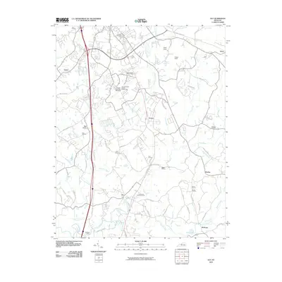 2010 Lily2010 Print · USGSLaurel County at the start of the 2010s shows a complex network of river valleys and rural settlements centered around Lily. Researchers can trace decades of local history through dozens of family landmarks like Owsley Cemetery and the grounds of London-Corbin Airport-Magee Field.
 - 2010 Map of Heidrick, 2010 Print
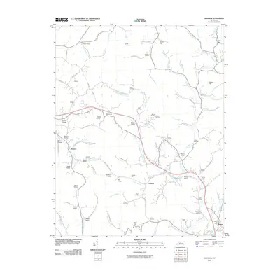 2010 Heidrick2010 Print · USGSKnox County's creek-valley communities are captured here in the early twenty-first century as they were connected by winding hollow roads. Genealogists can trace family landmarks and burial sites like Scott Chapel Cemetery or explore settlements such as Arkle and Baileys Switch.
 - 2010 Map of Billows, 2010 Print
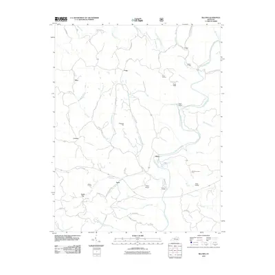 2010 Billows2010 Print · USGSEastern Pulaski County and the Rockcastle River are shown here as they appeared in the early 2000s. Researchers can locate family landmarks such as Bustle Cemetery, the Indian Trail Lookout Tower, and small rural hubs like Squib and Billows.
 - 2010 Map of Ano, 2010 Print
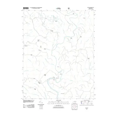 2010 Ano2010 Print · USGSNear the Rockcastle River in the early twenty-first century, this area of Pulaski County preserves a landscape of high ridges and deep river bends. Genealogists and hikers can trace old family burial grounds like Bald Rock Cemetery or explore the river corridor near the Bee Rock Recreation Area and The Narrows.
 - 2010 Map of London SW, 2010 Print
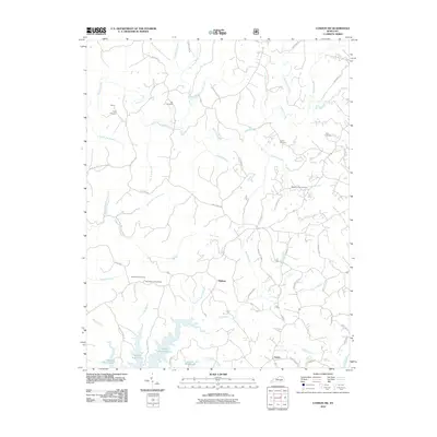 2010 London SW2010 Print · USGSLaurel County near Keavy is shown here at the turn of the millennium as the landscape transitions toward the Laurel River Lake shoreline. Genealogists and historians can trace local family landmarks like the Nix Cemetery, Floyd Cemetery, and the Bald Rock Lookout Tower.
 - 2010 Map of Bernstadt, 2010 Print
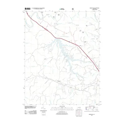 2010 Bernstadt2010 Print · USGSLaurel County at the start of the decade reveals a landscape of high ridges and winding waterways. Researchers can trace family history at Snuffer Cemetery or follow the rail line through engineering landmarks like Tunnel Number 7 and Tunnel Number 9.
 - 2010 Map of Parrot, 2010 Print
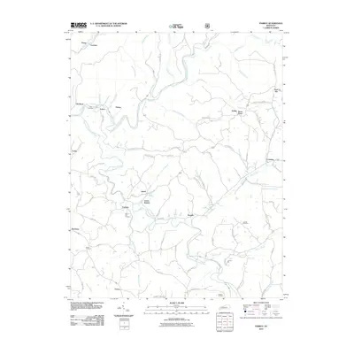 2010 Parrot2010 Print · USGSJackson County rural life is mapped in detail during the early 2010s, showing the winding river forks and dispersed settlements. Researchers can locate family landmarks like Thomas Mill or trace ancestral roots at Mount Zion Cemetery and Lear Cemetery.
 - 2010 Map of Livingston, 2010 Print
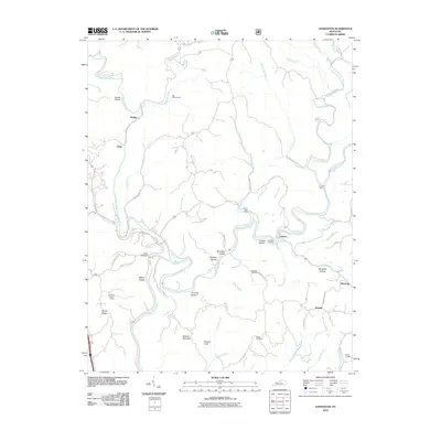 2010 Livingston2010 Print · USGSThe Rockcastle River corridor is captured here in the early 2000s, showcasing the winding hollows and isolated ridges of rural Kentucky. Researchers can locate family landmarks like Robinson Cemetery or trace travel routes along Old Wilderness Rd and the Cruise Ferry.
 - 2010 Map of Sawyer, 2010 Print
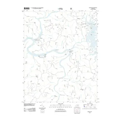 2010 Sawyer2010 Print · USGSMcCreary County at the start of the 2010s reveals a landscape deeply integrated with the Daniel Boone National Forest and Lake Cumberland. Local historians can trace family ties and community landmarks from Sawyer to Baldrock, including the Price Cemetery and Hamilton Cemetery.
 - 2010 Map of Corbin, 2010 Print
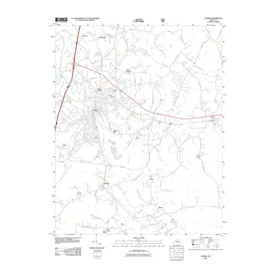 2010 Corbin2010 Print · USGSSoutheastern Kentucky is captured here during a period of transition for its classic railroad and highway towns. Genealogists and historians can locate family burial sites at Liberty Cemetery and Sharp Cemetery or trace the early development of Corbin and Woodbine.
 - 2011 Map of London, 2011 Print
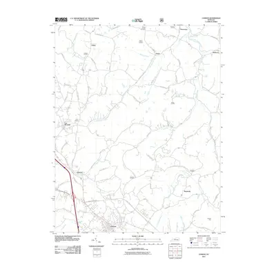 2011 London2011 Print · USGSLaurel County's county seat and surrounding hamlets are captured here during a period of modern growth and rural continuity. Genealogists and historians can trace family locations through numerous sites like Landrum Cemetery, Maplesville, and the community of East Bernstadt.
 - 2011 Map of Vox, 2011 Print
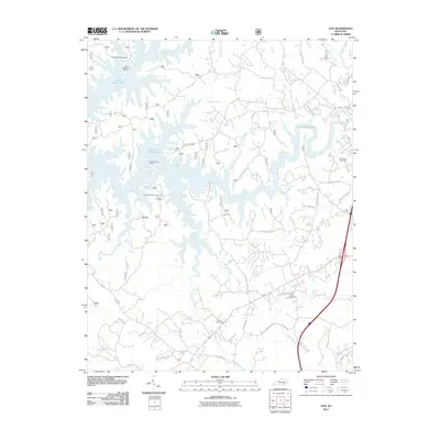 2011 Vox2011 Print · USGSIn the hills of southeastern Kentucky during the early 21st century, the intricate fingers of Laurel River Lake shape local geography. Researchers can trace family sites like Corinth Cemetery or locate landmarks such as the Corbin Speedway and the settlement at Vox.
 - 2011 Map of Portersburg, 2011 Print
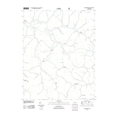 2011 Portersburg2011 Print · USGSClay County at the start of the 2010s reveals a landscape of deep hollows and high ridges centered on the South Fork Rockcastle River. Genealogists and local historians can trace family locations near Portersburg, the Linck Cemetery, and the rural community of Fogertown.
 - 2011 Map of Blackwater, 2011 Print
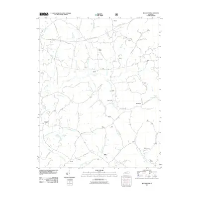 2011 Blackwater2011 Print · USGSThis part of Knox County during the early twenty-first century reveals a landscape shaped by rural settlements and family lineage. Genealogists can trace family names through dozens of burial sites like Pilgrims Rest Cemetery and Blanton Cemetery, or locate old community hubs like Sasser and Marydell.
 - 2011 Map of Tyner, 2011 Print
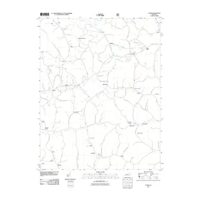 2011 Tyner2011 Print · USGSThe eastern Kentucky highlands around Tyner and Annville are shown here during the early twenty-first century as a landscape of interconnected ridge communities. Genealogists can locate family landmarks such as Walnut Hill Cemetery and the Tyner Post Office, or trace the winding course of Pond Creek.
 - 2011 Map of Hima, 2011 Print
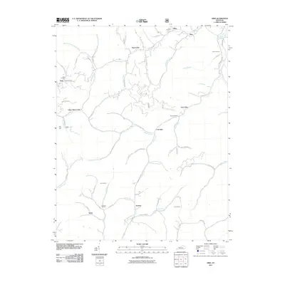 2011 Hima2011 Print · USGSWoollum and the surrounding hollows of Knox County are captured here at the start of the 21st century. Genealogists and local historians can trace family roots through numerous sites like Baughs Salt Well, Engine Cemetery, and the settlement at Pigeonroost.
 - 2013 Map of Vox, 2013 Print
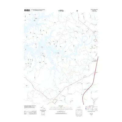 2013 Vox2013 Print · USGSSoutheast Kentucky's landscape near the Laurel River is shown here a decade ago, where recreation and rural tradition meet. Genealogists and local historians can locate McFarland Cem and Corinth Cem or trace the early paths of Oak Grove School Rd.
 - 2013 Map of Corbin, 2013 Print
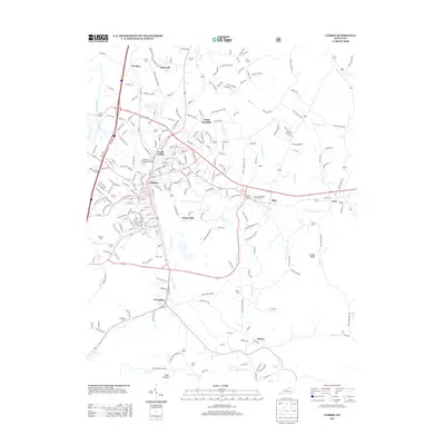 2013 Corbin2013 Print · USGSCorbin and the surrounding hills of southeastern Kentucky are captured here in the early twenty-first century as the area transitioned between its rail heritage and modern industry. Researchers can locate family landmarks like Resthaven Cem or trace the early paths of Old Barbourville Rd and Lynn Camp Cr.
 - 2013 Map of Sawyer, 2013 Print
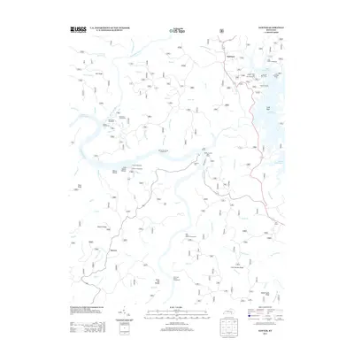 2013 Sawyer2013 Print · USGSThe river confluences of McCreary County are mapped here in the early twenty-first century as the region centers on forest recreation and water management. Researchers can trace family sites like Hamilton Cem and Price Cem or explore the developed shores of Lake Cumberland and Laurel River Lake.
 - 2013 Map of Heidrick, 2013 Print
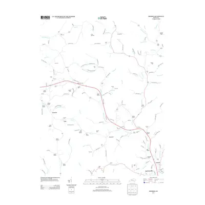 2013 Heidrick2013 Print · USGSKnox County, Kentucky, is shown here in the early twenty-first century, revealing a landscape of winding hollows and family homesteads. Genealogists can trace local history through numerous burial sites like Scott Chapel Cemetery, Helton Cemetery, and the railroad-era location of Baileys Switch.
 - 2013 Map of Portersburg, 2013 Print
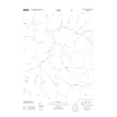 2013 Portersburg2013 Print · USGSClay County at the start of the 2010s reveals a landscape of river-valley settlements and upland ridges. Researchers can trace family sites and local routes near Portersburg, Linck Cem, and the community of Deer Lick along the S Fork Rockcastle River.
 - 2013 Map of Tyner, 2013 Print
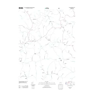 2013 Tyner2013 Print · USGSJackson County rural life is detailed in the early twenty-first century, showing the enduring network of family cemeteries and ridge-top settlements. Researchers can locate Cunnigan Cem, the Moores Creek School Rd, and the community of Annville.
 - 2013 Map of Blackwater, 2013 Print
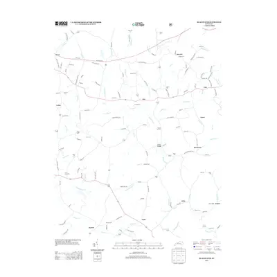 2013 Blackwater2013 Print · USGSEastern Kentucky's creek-carved hills are shown here in the early twenty-first century, before the landscape's oldest rural patterns were lost. Researchers can trace family names and early sites like Merrimac Cem, the settlement at Blackwater, and the Camp Ground Cem near the Laurel River.
 - 2013 Map of Hima, 2013 Print
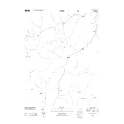 2013 Hima2013 Print · USGSKnox County's river valleys and rural settlements are documented here in the early twenty-first century. Genealogists and historians can locate family burial grounds like Frost Cem and Coy Cem or trace the Collins Fork past Baughs Salt Well.
 - 2013 Map of Lily, 2013 Print
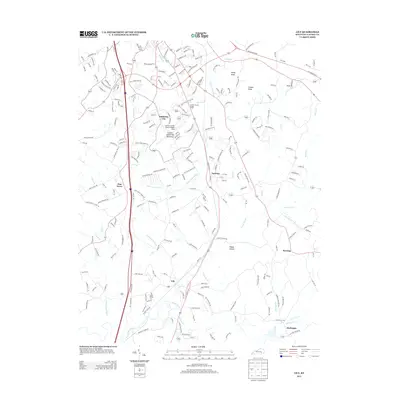 2013 Lily2013 Print · USGSLaurel County south of London comes into focus in this recent survey of the Kentucky foothills. Genealogists and local historians can trace family-named sites like Ward Cemetery Rd and established communities such as Sublimity City and Fariston.
Showing maps 1-25 of 64
Top cities of Laurel County
Frequently asked questions
- What are the different types of historical maps available for Laurel County?
- What is the oldest map of Laurel County?
- Where can I purchase historical maps of Laurel County for my home or office?
- Where can I download high-res historical maps of Laurel County?
- Are there historical topographic maps available for Laurel County?
- Is there historical aerial imagery available for Laurel County?
- Where are historical maps of Laurel County sourced from?