2000s (21st Century) Maps of Lewis County, Kentucky
Explore 95 historic maps of Lewis County from the 2000s (21st Century). These maps offer a rare glimpse into what life looked like during the 2000s — showing old roads, neighborhoods, homes, and landmarks that have changed or disappeared over time.
Whether you're researching your family's past, planning a metal detecting trip, or studying how Lewis County's landscape evolved across the 2000s, these high-resolution maps are a powerful tool for exploring the history of this region.
- Focus on a specific era: All maps on this page are from the 2000s, giving you a focused view of this time period.
- See what’s changed: Compare century-old streets, trails, and buildings to today's modern landscape using overlays and satellite layers.
- Research with precision: Use these maps for genealogy, historical research, land use analysis, or educational projects.
- View, download, or print: Maps are fully viewable online in high resolution, and can be downloaded or printed for your own records.
Start exploring Lewis County's history through authentic maps from the 2000s. This is your window into the past.
Lewis County, KY maps
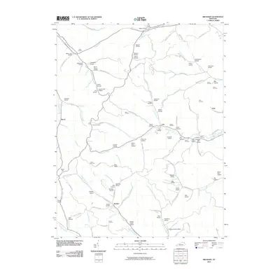
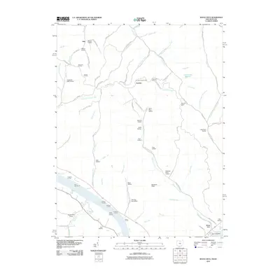
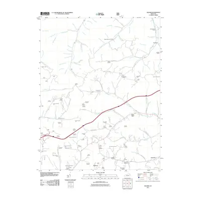
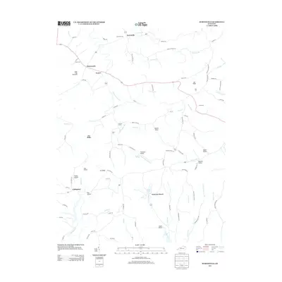
(95)- 2010 Map of Burtonville, 2010 Print
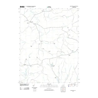 2010 Burtonville2010 Print · USGSCovers Lewis County, including Burtonville, Wallingford, and other nearby areas
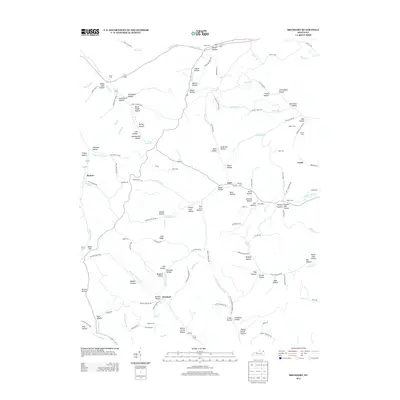
 - 2010 Map of Wesleyville, 2010 Print
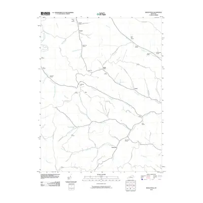 2010 Wesleyville2010 Print · USGSCovers Lewis County, including Poplar, Rooney, and other nearby areas
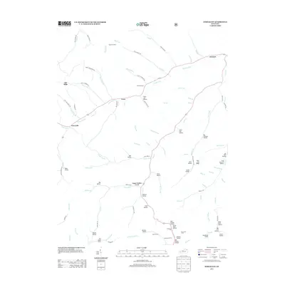
 - 2010 Map of Tollesboro, 2010 Print
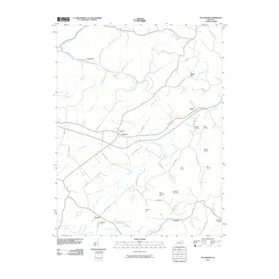 2010 Tollesboro2010 Print · USGSCovers Lewis County, including Cottageville, Tollesboro, and other nearby areas
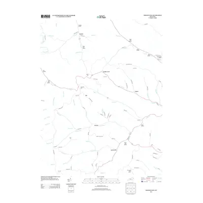
 - 2010 Map of Head of Grassy, 2010 Print
 2010 Head of Grassy2010 Print · USGSCovers Lewis County, including Harris, Awe, and other nearby areas
 - 2010 Map of Olive Hill, 2010 Print
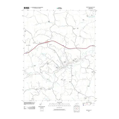 2010 Olive Hill2010 Print · USGSCovers Lewis County, including Olive Hill, Mountain Top, and other nearby areas
 - 2010 Map of Brushart, 2010 Print
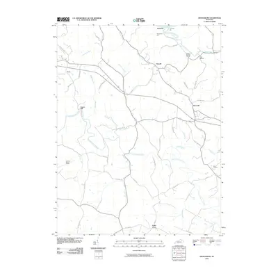
 2010 Brushart2010 Print · USGSCovers Lewis County, including Rexton, York, and other nearby areas
 - 2010 Map of Charters, 2010 Print
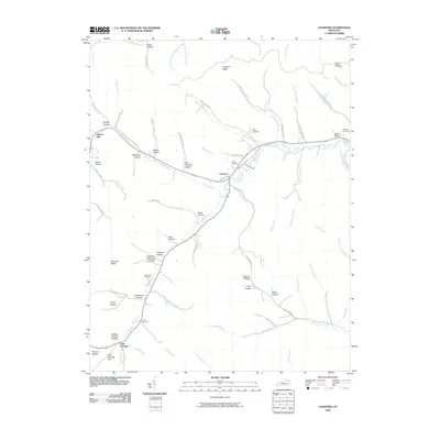 2010 Charters2010 Print · USGSCovers Lewis County, including Glen Springs, Charters, and other nearby areas
 - 2010 Map of Orangeburg, 2010 Print
 2010 Orangeburg2010 Print · USGSCovers Lewis County, including Maysville, Plumville, and other nearby areas
 - 2010 Map of Manchester Islands, 2010 Print
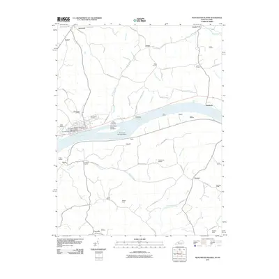 2010 Manchester Islands2010 Print · USGSCovers Lewis County, including Manchester, Trinity, and other nearby areas
 - 2010 Map of Buena Vista, 2010 Print
 2010 Buena Vista2010 Print · USGSCovers Lewis County, including Buena Vista, Rome, and other nearby areas
 - 2010 Map of Vanceburg, 2010 Print
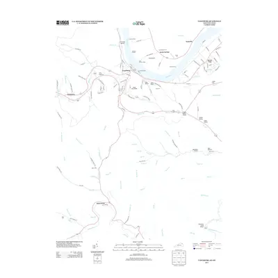
 2010 Vanceburg2010 Print · USGSCovers Lewis County, including Vanceburg, Clarksburg, and other nearby areas
 - 2010 Map of Garrison, 2010 Print
 2010 Garrison2010 Print · USGSCovers Lewis County, including Tannery, Quincy, and other nearby areas
 - 2010 Map of Pond Run, 2010 Print
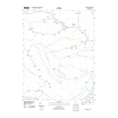 2010 Pond Run2010 Print · USGSCovers Lewis County, including Scioto County, United States, and other nearby areas
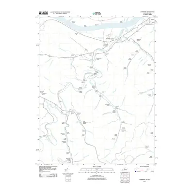
 - 2010 Map of Maysville East, 2010 Print
 2010 Maysville East2010 Print · USGSCovers Lewis County, including Maysville, Manchester, and other nearby areas
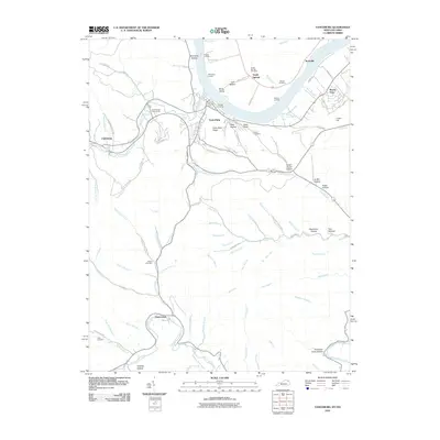
 - 2010 Map of Concord, 2010 Print
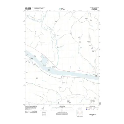 2010 Concord2010 Print · USGSCovers Lewis County, including Concord, Queens, and other nearby areas
 - 2010 Map of Friendship, 2010 Print
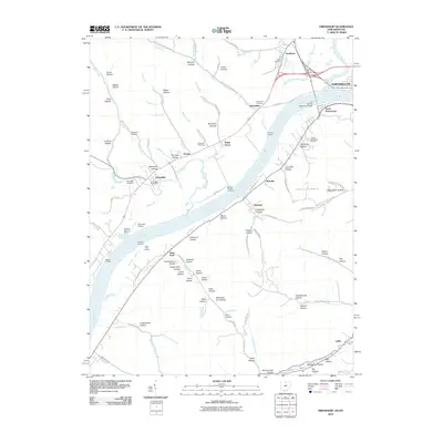 2010 Friendship2010 Print · USGSCovers Lewis County, including Portsmouth, Friendship, and other nearby areas
 - 2011 Map of Cranston, 2011 Print
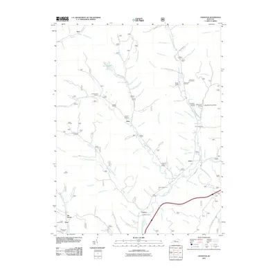 2011 Cranston2011 Print · USGSCovers Lewis County, including Waltz, Ryan, and other nearby areas
 - 2011 Map of Stricklett, 2011 Print
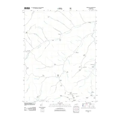 2011 Stricklett2011 Print · USGSCovers Lewis County, including Stricklett, Crum, and other nearby areas
 - 2011 Map of Soldier, 2011 Print
 2011 Soldier2011 Print · USGSCovers Lewis County, including Hayward, Enterprise, and other nearby areas
 - 2013 Map of Brushart, 2013 Print
 2013 Brushart2013 Print · USGSCovers Lewis County, including Rexton, York, and other nearby areas
 - 2013 Map of Stricklett, 2013 Print
 2013 Stricklett2013 Print · USGSCovers Lewis County, including Stricklett, Crum, and other nearby areas
 - 2013 Map of Wesleyville, 2013 Print
 2013 Wesleyville2013 Print · USGSCovers Lewis County, including Poplar, Rooney, and other nearby areas
 - 2013 Map of Head of Grassy, 2013 Print
 2013 Head of Grassy2013 Print · USGSCovers Lewis County, including Harris, Awe, and other nearby areas
 - 2013 Map of Burtonville, 2013 Print
 2013 Burtonville2013 Print · USGSCovers Lewis County, including Burtonville, Wallingford, and other nearby areas
 - 2013 Map of Vanceburg, 2013 Print
 2013 Vanceburg2013 Print · USGSCovers Lewis County, including Vanceburg, Clarksburg, and other nearby areas
Showing maps 1-25 of 95
Top cities of Lewis County
Frequently asked questions
- What are the different types of historical maps available for Lewis County?
- What is the oldest map of Lewis County?
- Where can I purchase historical maps of Lewis County for my home or office?
- Where can I download high-res historical maps of Lewis County?
- Are there historical topographic maps available for Lewis County?
- Is there historical aerial imagery available for Lewis County?
- Where are historical maps of Lewis County sourced from?