2010s Maps of Trimble County, Kentucky
Explore 28 historic maps of Trimble County from the 2010s. These maps offer a rare glimpse into what life looked like during the 2010s — showing old roads, neighborhoods, homes, and landmarks that have changed or disappeared over time.
Whether you're researching your family's past, planning a metal detecting trip, or studying how Trimble County's landscape evolved across the 2010s, these high-resolution maps are a powerful tool for exploring the history of this region.
- Focus on a specific era: All maps on this page are from the 2010s, giving you a focused view of this time period.
- See what’s changed: Compare century-old streets, trails, and buildings to today's modern landscape using overlays and satellite layers.
- Research with precision: Use these maps for genealogy, historical research, land use analysis, or educational projects.
- View, download, or print: Maps are fully viewable online in high resolution, and can be downloaded or printed for your own records.
Start exploring Trimble County's history through authentic maps from the 2010s. This is your window into the past.
Trimble County, KY maps
(28)- 2010 Map of Bedford, 2010 Print
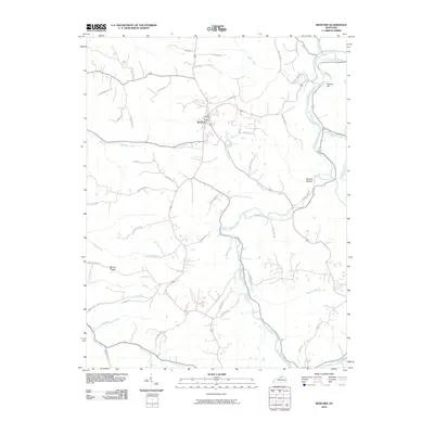 2010 Bedford2010 Print · USGSTrimble County at the start of the 2010s shows a landscape defined by the winding Little Kentucky River and the crossroads of Bedford. Genealogists and local historians can trace family land ties along Taylor Farm Rd or explore the ridges around Bunker Hill and Science Hollow.
 - 2010 Map of Campbellsburg, 2010 Print
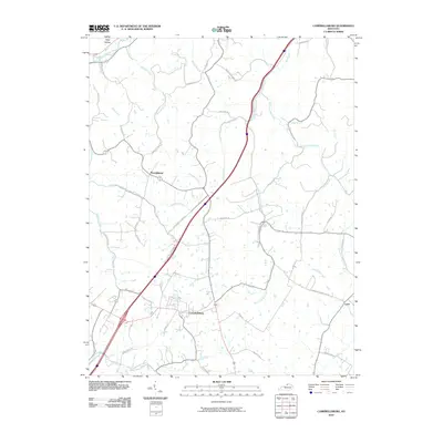 2010 Campbellsburg2010 Print · USGSThe community of Campbellsburg and its surrounding rural corridors are captured here during the first decade of the new millennium. Genealogists and local historians can trace family-named roads like Skidmore Ln and Montfort Ln while following the many branches of the Little Kentucky River.
 - 2010 Map of Smithfield, 2010 Print
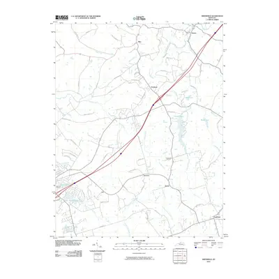 2010 Smithfield2010 Print · USGSKentucky's Bluegrass region near the turn of the decade shows a landscape of crossroads hamlets and river forks. Genealogists can locate family sites near Hendronsville Cemetery or trace the early paths of Smithfield and Sligo.
 - 2010 Map of Madison East, 2010 Print
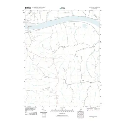 2010 Madison East2010 Print · USGSThe riverfront communities of Madison and Milton are captured here as they appeared in 2010, connected by the Madison Bridge over the Ohio River. Researchers can trace rural Kentucky settlements like Locust and Monitor or find local landmarks such as Moffett Cemetery and Callis Grove Campground.
 - 2010 Map of Bethlehem, 2010 Print
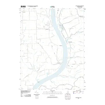 2010 Bethlehem2010 Print · USGSThe Indiana-Kentucky borderlands along the Ohio River come into focus in this recent survey. Local historians can trace family plots at Mahoney Cemetery or Turner Cemetery and explore riverfront landings like Wises Landing and Pattersons Landing.
 - 2010 Map of Carrollton, 2010 Print
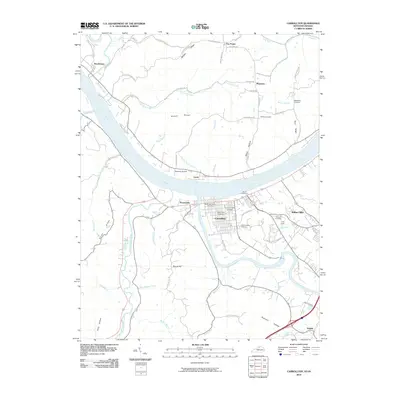 2010 Carrollton2010 Print · USGSCarrollton sits at the historic meeting of the Ohio and Kentucky Rivers during the first decade of the new millennium. Researchers can trace family history through numerous sites like the Carrollton IOOF Cemetery and Gap Hill Cemetery, or locate local landmarks such as Robinson Airport.
 - 2010 Map of Madison West, 2010 Print
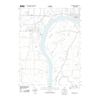 2010 Madison West2010 Print · USGSThe high bluffs and river bottoms of the Indiana-Kentucky border are captured here in the early twenty-first century. Researchers can trace land patterns and local genealogy through sites like Antioch Grange, Greenbriar Cemetery, and the cluster of Butler and Chain Mill Falls.
 - 2013 Map of Campbellsburg, 2013 Print
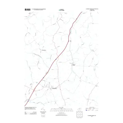 2013 Campbellsburg2013 Print · USGSCampbellsburg and its surrounding hamlets are captured in this recent survey of northern Kentucky’s agricultural heartland. Genealogists and local historians can trace family-named roads and rural settlements like Turners Station, Lacie, and the Barnes Railroad Siding.
 - 2013 Map of Carrollton, 2013 Print
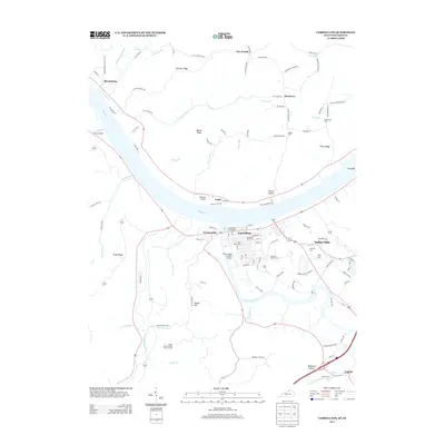 2013 Carrollton2013 Print · USGSThe confluence of the Ohio and Kentucky Rivers defines this Kentucky borderland in the early 2010s. Researchers can trace local lineage through numerous burial sites including Old Bethel Cem and the Carrollton IOOF Cem, or explore the riverside landings of Prestonville and Lamb.
 - 2013 Map of Bedford, 2013 Print
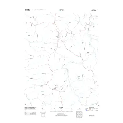 2013 Bedford2013 Print · USGSThe northern Kentucky hills near Bedford are captured here in the early twenty-first century as the landscape maintains its rural character. Researchers can trace local lineage at Burrows Cem or follow the drainage of the Little Kentucky River past landmarks like Science Hollow and Bunker Hill.
 - 2013 Map of Smithfield, 2013 Print
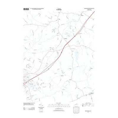 2013 Smithfield2013 Print · USGSNorth of La Grange during the early 2010s, this area shows a landscape of small rail-side settlements and rural crossroads. Researchers can trace local heritage through Sulphur Cem and Hendronsville Cem or follow the CSX TRANSPORTATION line past Jericho and Smithfield.
 - 2013 Map of Madison West, 2013 Print
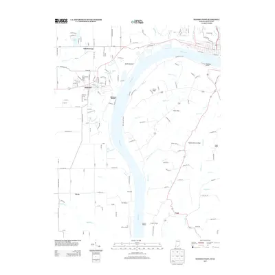 2013 Madison West2013 Print · USGSThe Indiana bluffs overlooking the Ohio River are documented here in the early twenty-first century, showing the unique river-bottom landscape. Genealogists and local historians can locate Hanover, the Lee Bottom Airport, and numerous local cascades like Chain Mill Falls.
 - 2013 Map of Bethlehem, 2013 Print
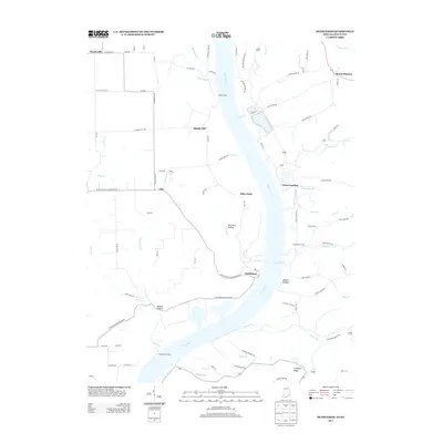 2013 Bethlehem2013 Print · USGSThe Indiana-Kentucky borderlands along the Ohio River appear in detail during the early twenty-first century. Genealogists and local researchers can trace family lands near Bethlehem, Wises Landing, and the river landings at King Landing and Pattersons Landing.
 - 2013 Map of Madison East, 2013 Print
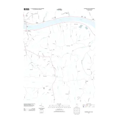 2013 Madison East2013 Print · USGSThe Ohio River valley and the high ridges of Trimble County are captured here in the early 2010s. Researchers can trace rural life and terrain through settlements like Milton and Locust, or find family-named landmarks such as Leeport Ridge and Big Cedar Cliffs.
 - 2016 Map of Bedford, 2016 Print
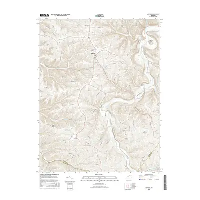 2016 Bedford2016 Print · USGSBedford and the surrounding Trimble County uplands are captured here in the mid-2010s, showing a landscape defined by the winding Little Kentucky River. Genealogists can locate several family burial sites including Burrows Cem, Estes Cem, and the Staten-Garriott Cem.
 - 2016 Map of Smithfield, 2016 Print
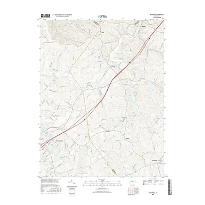 2016 Smithfield2016 Print · USGSNorth-central Kentucky's rural landscape is captured here in the mid-2010s as it bridges the gap between suburban development and agricultural heartland. Researchers can trace numerous local burial sites like Hendronsville Cemetery and Smithfield Cemetery alongside settlements at Sulphur and Tarascon.
 - 2016 Map of Campbellsburg, 2016 Print
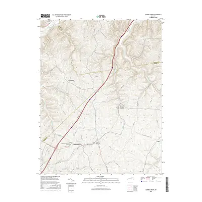 2016 Campbellsburg2016 Print · USGSHenry County and surrounding northern Kentucky communities are documented here in the mid-2010s, showing a landscape shaped by the Little Kentucky River. Genealogists can trace family landmarks and burial sites like Masonic Cemetery and Antill Cemetery near Campbellsburg.
 - 2016 Map of Carrollton, 2016 Print
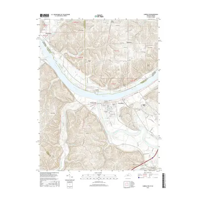 2016 Carrollton2016 Print · USGSThe confluence of the Ohio River and Kentucky River comes into focus in this modern record of the Kentucky-Indiana border. Genealogists can trace local history through numerous sites like Carrollton IOOF Cem, Old Bethel Cem, and the riverfront at Craw Daddy Landing.
 - 2016 Map of Madison East, 2016 Print
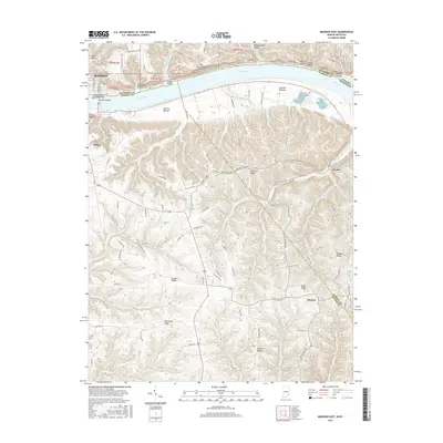 2016 Madison East2016 Print · USGSThe borderlands of Indiana and Kentucky meet here along the Ohio River during the mid-2010s. Genealogists and local historians can trace the geography of settlements like Locust and Monitor, or locate the Moffett Cem near the river bluffs.
 - 2016 Map of Bethlehem, 2016 Print
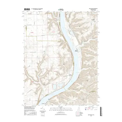 2016 Bethlehem2016 Print · USGSThe Ohio River borderlands between Indiana and Kentucky come alive in this recent survey of riverfront life. Genealogists can trace family landmarks like Turner Cem and Ralston Cem or locate the small settlements of Bethlehem and Westport.
 - 2016 Map of Madison West, 2016 Print
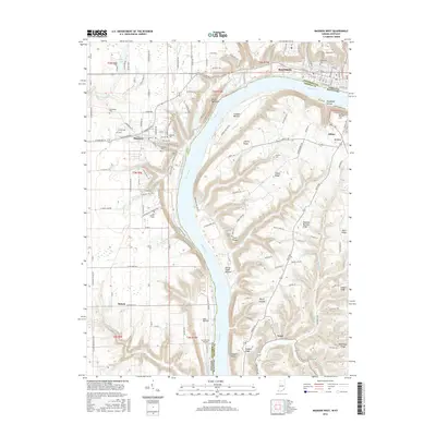 2016 Madison West2016 Print · USGSThe Ohio River valley at Madison is captured in this mid-2010s study of the Indiana-Kentucky border. Researchers can trace the grounds of Hanover Coll, find historic burial sites like Old Bethel Cem, and locate landmarks such as Devils Backbone.
 - 2019 Map of Carrollton, 2019 Print
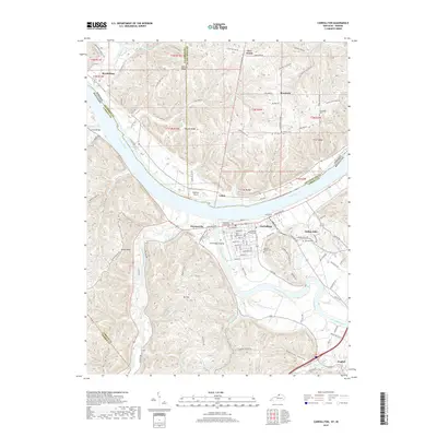 2019 Carrollton2019 Print · USGSThe confluence of the Ohio and Kentucky Rivers defines this region at the end of the 2010s. Researchers can trace riverfront history at Craw Daddy Landing and locate family burial sites at Methodist Church Cem and General Butler Cem.
 - 2019 Map of Smithfield, 2019 Print
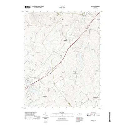 2019 Smithfield2019 Print · USGSLa Grange and the surrounding Bluegrass countryside are shown here as they appeared in 2019, at the intersection of Oldham and Henry counties. Genealogists and historians can trace local family lineages through rural landmarks like Hendronsville Cem, Sligo, and the historic settlement at Smithfield.
 - 2019 Map of Campbellsburg, 2019 Print
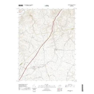 2019 Campbellsburg2019 Print · USGSHenry County rural life is captured here during the late 2010s. Genealogists can trace family names and local landmarks through sites like Masonic Cem, Antill Cem, and the Sulphur Fork Primitive Baptist Cem.
 - 2019 Map of Bedford, 2019 Print
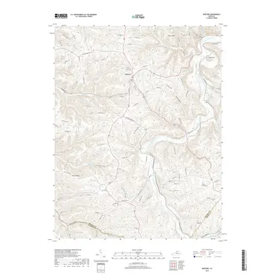 2019 Bedford2019 Print · USGSTrimble County's high ridges and river valleys are captured here in the contemporary era, centered on the historic seat of Bedford. Genealogists and local historians can trace old family names through rural burial sites like Estes Cem, Pruiett Cem, and Burrows Cem.
Showing maps 1-25 of 28
Top cities of Trimble County
Frequently asked questions
- What are the different types of historical maps available for Trimble County?
- What is the oldest map of Trimble County?
- Where can I purchase historical maps of Trimble County for my home or office?
- Where can I download high-res historical maps of Trimble County?
- Are there historical topographic maps available for Trimble County?
- Is there historical aerial imagery available for Trimble County?
- Where are historical maps of Trimble County sourced from?