2000s (21st Century) Maps of Bowling Green, Kentucky
Explore 25 historic maps of Bowling Green from the 2000s (21st Century). These maps offer a rare glimpse into what life looked like during the 2000s — showing old roads, neighborhoods, homes, and landmarks that have changed or disappeared over time.
Whether you're researching your family's past, planning a metal detecting trip, or studying how Bowling Green's landscape evolved across the 2000s, these high-resolution maps are a powerful tool for exploring the history of this region.
- Focus on a specific era: All maps on this page are from the 2000s, giving you a focused view of this time period.
- See what’s changed: Compare century-old streets, trails, and buildings to today's modern landscape using overlays and satellite layers.
- Research with precision: Use these maps for genealogy, historical research, land use analysis, or educational projects.
- View, download, or print: Maps are fully viewable online in high resolution, and can be downloaded or printed for your own records.
Start exploring Bowling Green's history through authentic maps from the 2000s. This is your window into the past.
Bowling Green, KY maps
(25)- 2010 Map of Bristow, 2010 Print
 2010 Bristow2010 Print · USGSCovers Bowling Green, including Oakland, Tuckertown, and other nearby areas
 - 2010 Map of Polkville, 2010 Print
 2010 Polkville2010 Print · USGSCovers Bowling Green, including Polkville, Greenhill, and other nearby areas
 - 2010 Map of Rockfield, 2010 Print
 2010 Rockfield2010 Print · USGSCovers Bowling Green, including Rich Pond, Rockfield, and other nearby areas
 - 2010 Map of Bowling Green South, 2010 Print
 2010 Bowling Green South2010 Print · USGSCovers Bowling Green, including Plano, Briarwood Manor, and other nearby areas
 - 2010 Map of Bowling Green North, 2010 Print
 2010 Bowling Green North2010 Print · USGSCovers Bowling Green, including Plum Springs, Sand Hill, and other nearby areas
 - 2013 Map of Bristow, 2013 Print
 2013 Bristow2013 Print · USGSCovers Bowling Green, including Oakland, Tuckertown, and other nearby areas
 - 2013 Map of Bowling Green North, 2013 Print
 2013 Bowling Green North2013 Print · USGSCovers Bowling Green, including Plum Springs, Sand Hill, and other nearby areas
 - 2013 Map of Polkville, 2013 Print
 2013 Polkville2013 Print · USGSCovers Bowling Green, including Polkville, Greenhill, and other nearby areas
 - 2013 Map of Rockfield, 2013 Print
 2013 Rockfield2013 Print · USGSCovers Bowling Green, including Rich Pond, Rockfield, and other nearby areas
 - 2013 Map of Bowling Green South, 2013 Print
 2013 Bowling Green South2013 Print · USGSCovers Bowling Green, including Plano, Briarwood Manor, and other nearby areas
 - 2016 Map of Polkville, 2016 Print
 2016 Polkville2016 Print · USGSCovers Bowling Green, including Polkville, Greenhill, and other nearby areas
 - 2016 Map of Rockfield, 2016 Print
 2016 Rockfield2016 Print · USGSCovers Bowling Green, including Rich Pond, Rockfield, and other nearby areas
 - 2016 Map of Bowling Green South, 2016 Print
 2016 Bowling Green South2016 Print · USGSCovers Bowling Green, including Plano, Briarwood Manor, and other nearby areas
 - 2016 Map of Bowling Green North, 2016 Print
 2016 Bowling Green North2016 Print · USGSCovers Bowling Green, including Plum Springs, Sand Hill, and other nearby areas
 - 2016 Map of Bristow, 2016 Print
 2016 Bristow2016 Print · USGSCovers Bowling Green, including Oakland, Tuckertown, and other nearby areas
 - 2019 Map of Rockfield, 2019 Print
 2019 Rockfield2019 Print · USGSCovers Bowling Green, including Rich Pond, Rockfield, and other nearby areas
 - 2019 Map of Bowling Green South, 2019 Print
 2019 Bowling Green South2019 Print · USGSCovers Bowling Green, including Plano, Briarwood Manor, and other nearby areas
 - 2019 Map of Polkville, 2019 Print
 2019 Polkville2019 Print · USGSCovers Bowling Green, including Polkville, Greenhill, and other nearby areas
 - 2019 Map of Bowling Green North, 2019 Print
 2019 Bowling Green North2019 Print · USGSCovers Bowling Green, including Plum Springs, Sand Hill, and other nearby areas
 - 2019 Map of Bristow, 2019 Print
 2019 Bristow2019 Print · USGSCovers Bowling Green, including Oakland, Tuckertown, and other nearby areas
 - 2022 Map of Polkville, 2022 Print
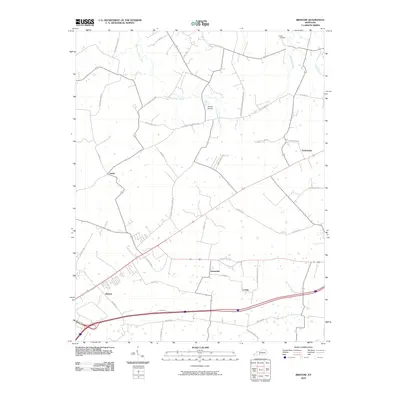
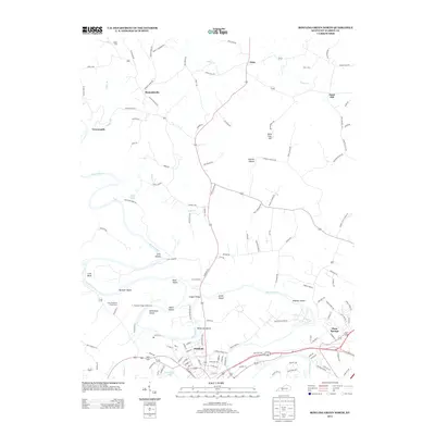
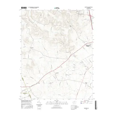
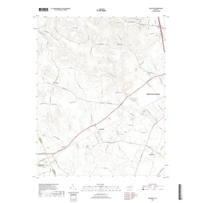
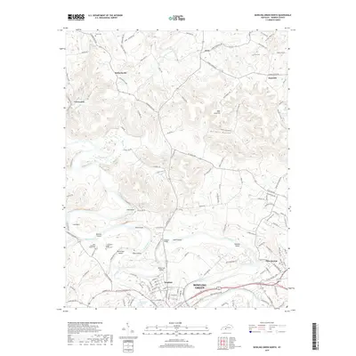
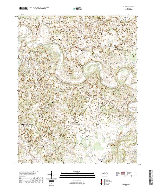 2022 Polkville2022 Print · USGSThe area east of Bowling Green during the early 2020s shows a landscape of rural crossroads and family homesteads. Researchers can locate numerous family-named burial sites like Mount Tabor Cem and Willoughby Cem or trace the winding course of the Barren River.
 - 2022 Map of Rockfield, 2022 Print
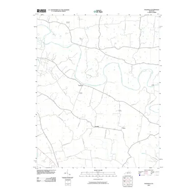
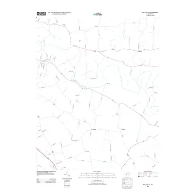
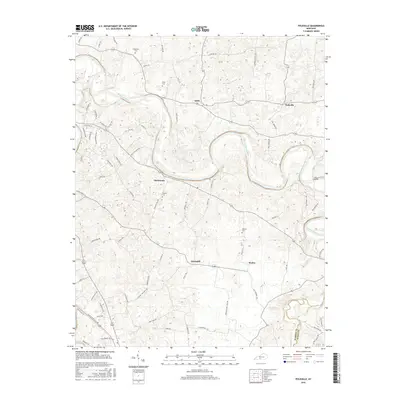
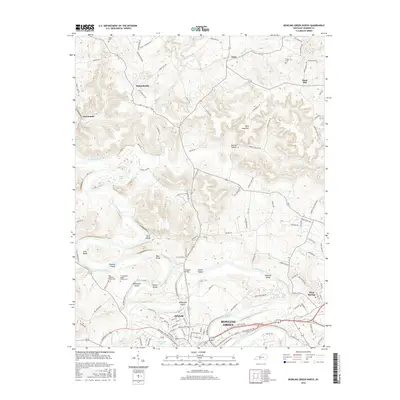
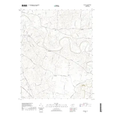
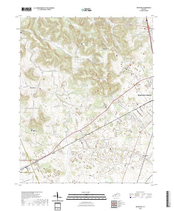 2022 Rockfield2022 Print · USGSSouthwest of Bowling Green, this Warren County landscape is a patchwork of early settlements and family lands connected by the historic Russellville Rd. Genealogists can trace local lineages through numerous sites like the Barnett - Mansfield Cem, Read Graveyard, and Pleasant Hill Cem.
 - 2022 Map of Bowling Green South, 2022 Print
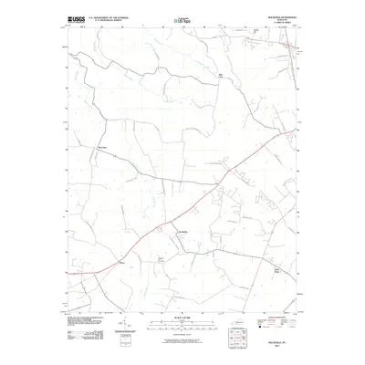
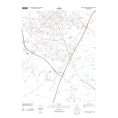
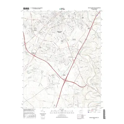
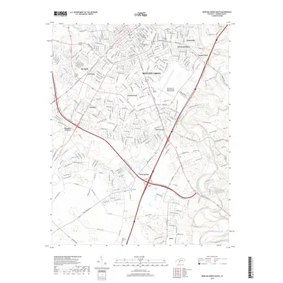
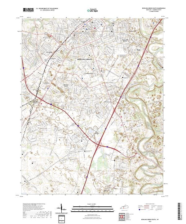 2022 Bowling Green South2022 Print · USGSSouthern Warren County in the early 2020s shows the expansion of BOWLING GREEN alongside its deeper heritage. Genealogists can trace family sites at Saint Joseph Historic Catholic Cem, Ennis Cem, and the old rail junction at Memphis Junction.
 - 2022 Map of Bowling Green North, 2022 Print
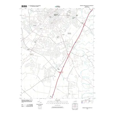
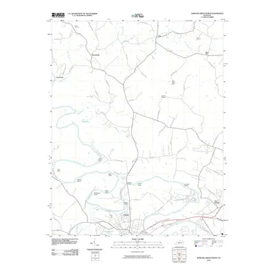
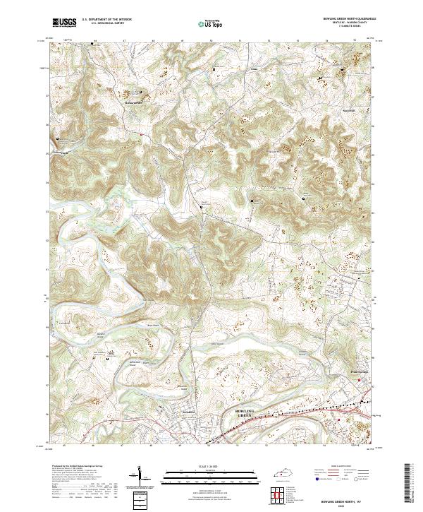 2022 Bowling Green North2022 Print · USGSNorth of the city in the early twenty-first century, the river landscape is defined by the winding Barren River and its many islands. Genealogists can locate several family burial grounds, including the Sterrett Family Cem and Isaac Stephens Family Cem.
 - 2022 Map of Bristow, 2022 Print
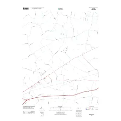
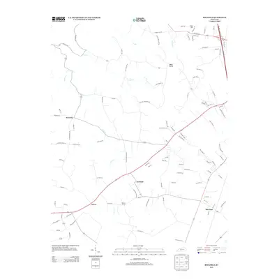
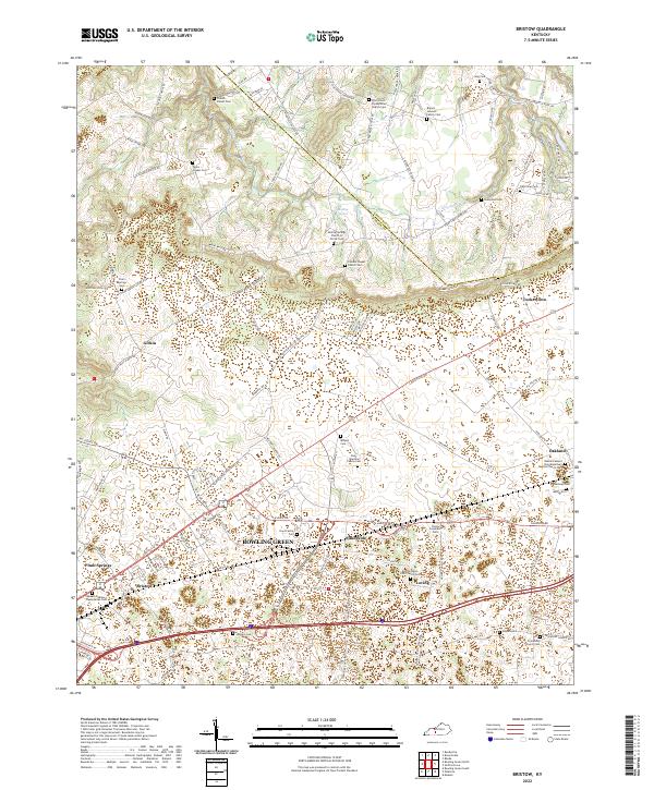 2022 Bristow2022 Print · USGSThe Warren and Edmonson county line near Bowling Green reveals a deep network of family cemeteries and rural congregations. Researchers can trace ancestral roots at sites like French - Poteet Cem, Mizpah Cem, and the Cowles Chapel Church Cem.
End of results
Showing maps 1-25 of 25
Top cities near Bowling Green
- Franklin historical maps
- Scottsville historical maps
- Brownsville historical maps
- Smiths Grove historical maps
- Plum Springs historical maps
- Woodburn historical maps
See more
Top neighborhoods of Bowling Green
- Crestmoor historical maps
- Eastland Park historical maps
- Lost River historical maps
- Briarwood Manor historical maps
- Springhill historical maps
- Delafield historical maps
See more
Frequently asked questions
- What are the different types of historical maps available for Bowling Green?
- What is the oldest map of Bowling Green?
- Where can I purchase historical maps of Bowling Green for my home or office?
- Where can I download high-res historical maps of Bowling Green?
- Are there historical topographic maps available for Bowling Green?
- Is there historical aerial imagery available for Bowling Green?
- Where are historical maps of Bowling Green sourced from?