Old Maps of Bowling Green, Kentucky for Genealogy
Trace your family roots with 50 historic maps of Bowling Green. These high-res maps reveal old neighborhoods, homesites, landmarks, and streets — helping you uncover where your ancestors lived and how the area evolved over time.
- Explore historic neighborhoods: Identify where your relatives may have lived in the 1800s or 1900s.
- Compare maps over time: Trace the changes in streets, buildings, and landmarks for multi-generational research.
- Perfect for genealogy & ancestry research: Used by family historians and researchers to map out lineage and migration.
These maps are an incredible resource for exploring your personal connection to Bowling Green's past.
Bowling Green, KY maps
(50)- 1921 Map of Bowling Green, 1955 Print
 1921 Bowling Green1955 Print · USGSBowling Green and its surrounding counties are shown here just after the Great War, when the Louisville and Nashville railroad fueled regional growth. Genealogists can trace hundreds of family landmarks, from Mussey Mill to schools like Cave Mill School and the remote Antioch Chapel.
 - 1922 Map of Brownsville
 1922 Brownsville1922 Print · USGSEdmonson and Warren Counties are mapped here in the early 1920s, showing a river-centered economy still reliant on ferries and landings. Genealogists can trace family footprints across dozens of country school sites like Poplar Spring School and historic crossings like Sadler Ford.
 - 1923 Map of Bowling Green
 1923 Bowling Green1923 Print · USGSThe Bowling Green area in the early 1920s was a landscape defined by the winding Barren River and the busy Louisville and Nashville Railroad. Researchers can trace ancestral roots through dozens of rural sites like Cassadays Store, Massey Mill, and the Lost River.4 unique versions available
 - 1923 Map of Brownsville
 1923 Brownsville1923 Print · USGSThe river-driven economies of Edmonson and Warren counties are preserved here in the early twentieth century. Researchers can trace ancestral locations through dozens of named sites like Bethlehem Church, Dalton Ferry, and rural schoolhouses including Poplar Spring School.3 unique versions available
 - 1952 Map of Rockfield, 1953 Print
 1952 Rockfield1953 Print · USGSWarren County in the early fifties is shown here at a peak of rail and resource activity. Genealogists can locate family landmarks like Millikens Chapel and Sumpter Cem, or trace the development of Rockfield and Rich Pond.2 unique versions available
 - 1954 Map of Evansville
 1954 Evansville1954 Print · USGSThe Ohio River borderlands between Indiana and Kentucky appear here during a period of robust industrial and military growth. Genealogists and researchers can trace the rail corridors of the Illinois Central and find landmarks like US Lock and Dam No 48 or Camp Breckinridge.
 - 1954 Map of Bowling Green North, 1955 Print
 1954 Bowling Green North1955 Print · USGSBowling Green and northern Warren County are shown in the mid-fifties as the Barren River shaped both industry and recreation. Local researchers can trace family landmarks like Mt Zion Ch, explore the early layout of Beech Bend Park, and locate the old Anna P O.
 - 1954 Map of Bristow, 1955 Print
 1954 Bristow1955 Print · USGSWarren and Edmonson Counties come alive in this mid-fifties study of the Kentucky karst and rail corridors. Genealogists can trace family roots through landmarks like Penns Chapel, Chalybeate Sch, and the rail-stop communities of Oakland and Bristow.2 unique versions available
 - 1954 Map of Polkville, 1955 Print
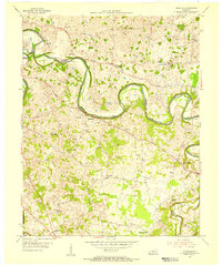 1954 Polkville1955 Print · USGSWarren and Allen Counties in the mid-fifties reveal a landscape of winding river bends and active petroleum exploration. Genealogists and historians can locate numerous family-named landmarks and rural centers like Hardcastle, Petty Cem, and the Rocky Springs Sch.2 unique versions available
 - 1954 Map of Bowling Green South, 1956 Print
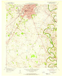 1954 Bowling Green South1956 Print · USGSMid-century Bowling Green is shown during a period of post-war expansion near the Western State College campus. Genealogists and local historians can trace family locations through Memphis Junction, Rich Pond, and numerous local burial sites like Fairview Cem.
 - 1956 Map of Nashville, 1971 Print
 1956 Nashville1971 Print · USGSThe Tennessee-Kentucky borderlands come into focus in the mid-1960s as major reservoir projects transformed the Cumberland and Tennessee river valleys. Researchers can trace the rail networks of the Louisville and Nashville and visit sites like Fort Campbell and Fort Donelson National Military Park.2 unique versions available
 - 1957 Map of Evansville, 1969 Print
 1957 Evansville1969 Print · USGSIndiana and Kentucky meet along the Ohio River in this mid-century survey of a vital industrial and transport corridor. Genealogists and historians can trace the development of river towns like Owensboro and Newburgh or locate old rail lines like the Southern Ry.3 unique versions available
 - 1959 Map of Nashville
 1959 Nashville1959 Print · USGSMiddle Tennessee and Southern Kentucky come into focus during the late fifties, showing the region's transition into a modern transportation and military hub. Researchers can trace the sprawling Fort Campbell Military Reservation or locate historic rail stops along the Tennessee Central Ry and Illinois Central RR.
 - 1959 Map of Bowling Green North, 1960 Print
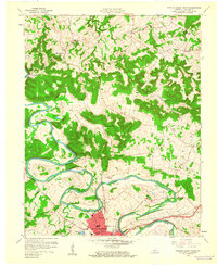 1959 Bowling Green North1960 Print · USGSWarren County in the late fifties shows the northward growth of Bowling Green along the river and rail lines. Genealogists and researchers can trace family landmarks and rural centers like Anna P O, Flora Cem, and the Green River Union Ch.
 - 1959 Map of Bowling Green South, 1960 Print
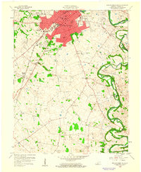 1959 Bowling Green South1960 Print · USGSBowling Green expands southward in the late fifties as a hub of education and transit. Researchers can trace the mid-century footprint of Western State College, find small communities like Memphis Junction, and locate family burial sites such as Trinity Cem.
 - 1961 Map of Evansville
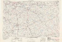 1961 Evansville1961 Print · USGSThe Ohio River valley and its surrounding coalfields are captured here during the late fifties and early sixties. Trace the industrial rail networks of the Illinois Central RR and explore regional landmarks like Mammoth Cave National Park and Angel Mounds State Memorial.2 unique versions available
 - 1965 Map of Bristow, 1967 Print
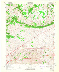 1965 Bristow1967 Print · USGSRural Warren County at the height of the sixties is defined by its small communities and the prominent ridge of The Knobs. Researchers can trace family sites at Penns Chapel Cem, Jackson Grove Ch, and the old Bristow Sch.2 unique versions available
 - 1968 Map of Bowling Green North, 1969 Print
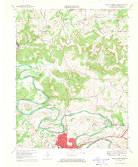 1968 Bowling Green North1969 Print · USGSThe Barren River meanders north of Bowling Green in the late sixties, where rail lines and river bends shaped local industry. Genealogists can trace family roots at Flora Cem and Sand Hill Ch Cem or locate the historic Delafield Sch.
 - 1968 Map of Bowling Green South, 1970 Print
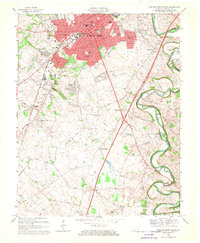 1968 Bowling Green South1970 Print · USGSBowling Green was expanding rapidly in the late 1960s, as new suburbs reached toward the Tennessee border. Genealogists and historians can trace family plots and rural congregations at Mount Moriah Cem, Potter Grave, and Little Zion Ch.2 unique versions available
 - 1973 Map of Rockfield, 1974 Print
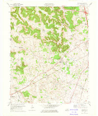 1973 Rockfield1974 Print · USGSWarren County in the 1970s is a landscape of active oil fields and traditional rural rail stops. Genealogists and historians can trace the foundations of local life through Rockfield Sch, Cedar Grove Ch, and the extensive network of Oil Wells surrounding Browning.
 - 1979 Map of Rockfield, 1988 Print
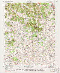 1979 Rockfield1988 Print · USGSWarren County’s rail and energy landscape comes into focus during the 1970s as the Louisville and Nashville line passes through small rural hubs. Genealogists and historians can trace local family landmarks like Millikens Chapel, Pleasant Hill Cem, and the community at Rockfield.
 - 1981 Map of Beaver Dam, 1984 Print
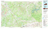 1981 Beaver Dam1984 Print · USGSThe Western Kentucky coal and river country comes into focus in the early 1980s as industry and recreation reshape the land. Researchers can trace family roots and old routes through Morgantown, Beaver Dam, and the early footprints of Mammoth Cave National Park.
 - 1985 Map of Bowling Green
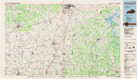 1985 Bowling Green1985 Print · USGSThe rolling borderlands of Kentucky and Tennessee are captured here in the mid-eighties, showing a landscape shaped by the Barren River and deep-rooted rail networks. Genealogists and researchers can trace local landmarks like Prices Mill, Highland Academy, and Green Lawn Cem.3 unique versions available
 - 1993 Map of Bowling Green North, 1996 Print
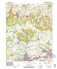 1993 Bowling Green North1996 Print · USGSWarren County in the early nineties shows the suburban growth of Bowling Green meeting the rural traditions of the Barren River hills. Researchers can trace family sites at Taylor Cem or locate historic community hubs like Richardsville Sch and Anna Ch.
 - 1993 Map of Bowling Green South, 1996 Print
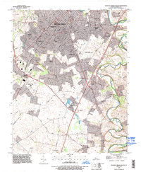 1993 Bowling Green South1996 Print · USGSWarren County in the early 1990s shows the suburban expansion of Bowling Green alongside its deep agricultural and industrial roots. Genealogists can trace family landmarks near Plano and Memphis Junction, or locate burials at Trinity Cem and St Joseph Cem.
Showing maps 1-25 of 50
Top cities near Bowling Green
- Franklin historical maps
- Scottsville historical maps
- Brownsville historical maps
- Smiths Grove historical maps
- Plum Springs historical maps
- Woodburn historical maps
See more
Top neighborhoods of Bowling Green
- Crestmoor historical maps
- Eastland Park historical maps
- Lost River historical maps
- Briarwood Manor historical maps
- Springhill historical maps
- Delafield historical maps
See more
Frequently asked questions
- What are the different types of historical maps available for Bowling Green?
- What is the oldest map of Bowling Green?
- Where can I purchase historical maps of Bowling Green for my home or office?
- Where can I download high-res historical maps of Bowling Green?
- Are there historical topographic maps available for Bowling Green?
- Is there historical aerial imagery available for Bowling Green?
- Where are historical maps of Bowling Green sourced from?