2000s (21st Century) Maps of Assumption Parish, Louisiana
Explore 65 historic maps of Assumption Parish from the 2000s (21st Century). These maps offer a rare glimpse into what life looked like during the 2000s — showing old roads, neighborhoods, homes, and landmarks that have changed or disappeared over time.
Whether you're researching your family's past, planning a metal detecting trip, or studying how Assumption Parish's landscape evolved across the 2000s, these high-resolution maps are a powerful tool for exploring the history of this region.
- Focus on a specific era: All maps on this page are from the 2000s, giving you a focused view of this time period.
- See what’s changed: Compare century-old streets, trails, and buildings to today's modern landscape using overlays and satellite layers.
- Research with precision: Use these maps for genealogy, historical research, land use analysis, or educational projects.
- View, download, or print: Maps are fully viewable online in high resolution, and can be downloaded or printed for your own records.
Start exploring Assumption Parish's history through authentic maps from the 2000s. This is your window into the past.
Assumption Parish, LA maps
(65)- 2012 Map of Grassy Lake, 2012 Print
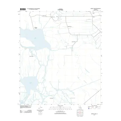 2012 Grassy Lake2012 Print · USGSThe Atchafalaya Basin's intricate water network comes into focus in the early 2010s, showing a landscape defined by bayous and energy extraction. Genealogists and historians can trace settlements like Upper Texas and Lower Texas alongside the Oakley Gas Field.
 - 2012 Map of Centerville NE, 2012 Print
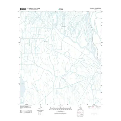 2012 Centerville NE2012 Print · USGSCoastal Louisiana at the start of the 2010s reveals a landscape where deep-water bayous meet industrial energy production. Researchers can trace the water-bound geography of Population Bend and explore the locations of the Bayou Postillion Oil Field and Keelboat Pass.
 - 2012 Map of Labadieville, 2012 Print
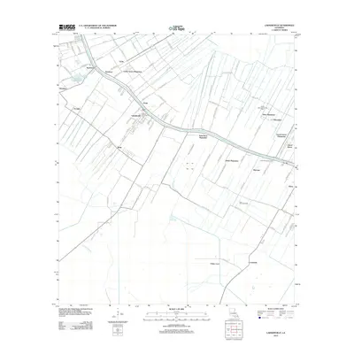 2012 Labadieville2012 Print · USGSLafourche Parish life centers on the banks of the bayou in this modern survey of Louisiana's sugar country. Genealogists and historians can trace the deep-rooted boundaries of White Plantation, visit the Saint Philomena Cem, or locate the crossroads at Labadieville and Brule.
 - 2012 Map of Amelia, 2012 Print
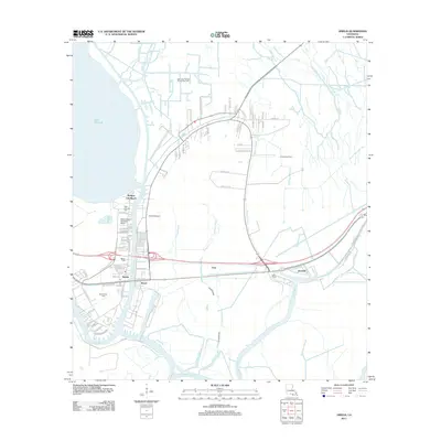 2012 Amelia2012 Print · USGSCoastal Louisiana's industrial and waterborne heritage is on full display here during the early twenty-first century. Researchers can trace the proximity of family sites like Saint Andrews Cem to significant energy infrastructure at the Amelia Gas Field and the Bayou Boeuf Seaplane Base.
 - 2012 Map of Napoleonville, 2012 Print
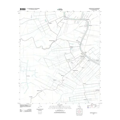 2012 Napoleonville2012 Print · USGSAssumption Parish in the early twenty-first century reveals a landscape shaped by the winding Bayou Lafourche and its many supporting canals. Genealogists and historians can trace established communities like Napoleonville and Paincourtville, alongside local landmarks like Christ Episcopal Cem and the Evening Star Cem.
 - 2012 Map of Gibson, 2012 Print
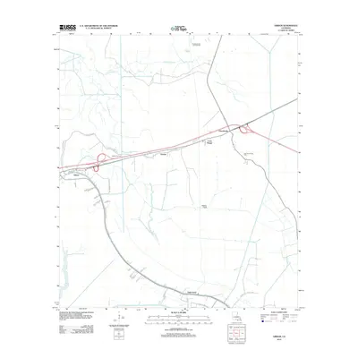 2012 Gibson2012 Print · USGSTerrebonne Parish wetlands and the energy-driven economy are captured here in the early 2010s. Researchers can trace family roots and land use near Gibson and Donner, or explore the extensive canal systems like the Donner Canal and Shell Canal.
 - 2012 Map of Madewood, 2012 Print
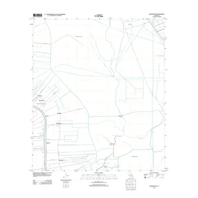 2012 Madewood2012 Print · USGSAssumption Parish at the turn of the decade reveals a landscape defined by the historic corridor of Bayou Lafourche and its surrounding sugar country. Genealogists can trace family footprints through settlements like Elmfield, Bertie, and Albemarle, or locate landmarks like Cedar Grove Plantation Pond.
 - 2012 Map of Donaldsonville, 2012 Print
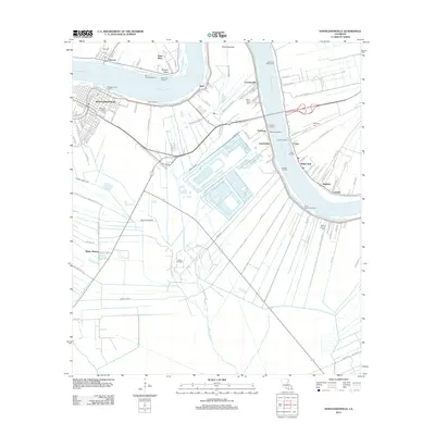 2012 Donaldsonville2012 Print · USGSThe riverfront around Donaldsonville and Ascension Parish is captured here during a period of modern industrial and maritime activity. Genealogists and local researchers can locate family sites at Ascension Catholic Cem, Buena Vista Cem, and across river communities like Lemannville and White Hall.
 - 2012 Map of Pierre Part, 2012 Print
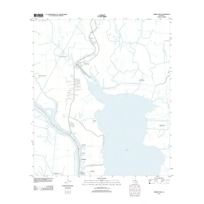 2012 Pierre Part2012 Print · USGSLouisiana's Atchafalaya Basin comes into focus during this period of energy expansion and coastal settlement. Genealogists and historians can trace family locations near Pierre Part or locate the Sacred Heart Ch Cem among numerous gas and oil fields.
 - 2012 Map of Napoleonville SW, 2012 Print
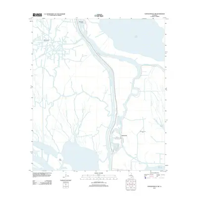 2012 Napoleonville SW2012 Print · USGSCoastal Louisiana in the early twenty-first century reveals a landscape where industry and wetlands converge around Stephenville. Researchers can trace local history along Tom Morgan Rd and locate landmarks such as Graveyard Island or the Stephensville Gas Field.
 - 2012 Map of Belle Rose, 2012 Print
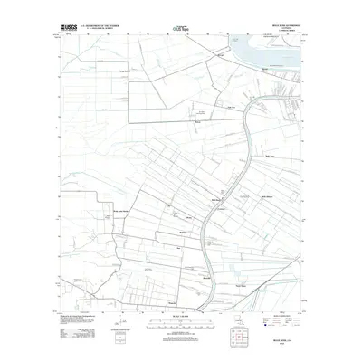 2012 Belle Rose2012 Print · USGSLouisiana's river country near the Mississippi is captured here in the early twenty-first century, showing the enduring pattern of French-heritage settlements and landings. Researchers can trace historic family landmarks and communities like Belle Rose, Klotzville, and Virginia Cem.
 - 2012 Map of Pigeon, 2012 Print
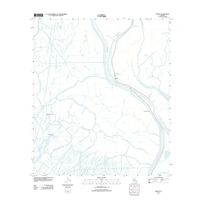 2012 Pigeon2012 Print · USGSIberville Parish waterways and energy fields are shown in great detail during the early 2010s. Genealogists and researchers can trace the settlement of Pigeon and locate industrial landmarks like the North Bayou Pigeon Oil Field and Pumpkin Point.
 - 2012 Map of Lone Star, 2012 Print
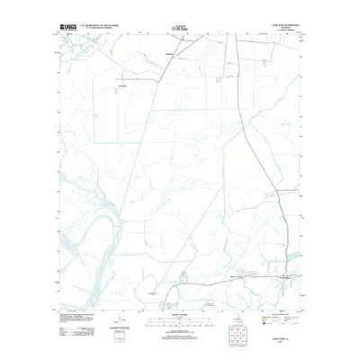 2012 Lone Star2012 Print · USGSCoastal Iberville Parish in the early 2010s is a landscape of energy production and deep-rooted bayou settlements. Genealogists and researchers can trace local family lands along Trabeaux Ln or explore the marshy reaches of Lake Natchez and the Natchez Bay Gas Field.
 - 2015 Map of Belle Rose, 2015 Print
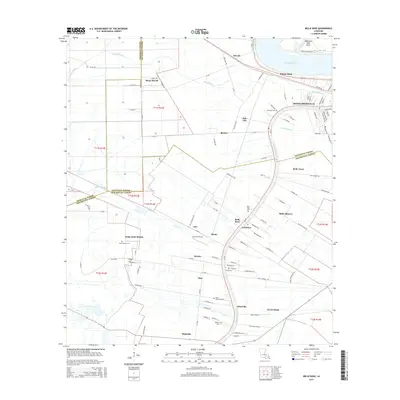 2015 Belle Rose2015 Print · USGSThe river parishes of Louisiana come into focus here in 2015, highlighting the historic corridor between the Mississippi River and Bayou Lafourche. Trace family roots and local heritage through sites like Belle Alliance, Saint Martins Cem, and Bruly Saint Martin.
 - 2015 Map of Labadieville, 2015 Print
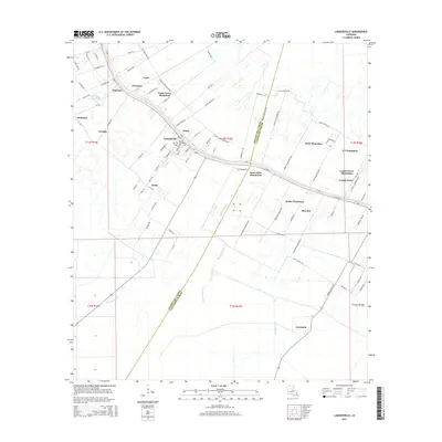 2015 Labadieville2015 Print · USGSLabadieville and its surrounding bayou country are captured here during the mid-2010s, showcasing a landscape of historic plantations and sugar industry landmarks. Genealogists can locate Saint Philomena Cem and trace lineage across Cedar Grove Plantation, Supreme, and Brule.
 - 2015 Map of Gibson, 2015 Print
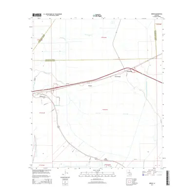 2015 Gibson2015 Print · USGSTerrebonne Parish settlements like Gibson and Chacahoula are captured here in a landscape defined by Bayou drainage and coastal marshland. Researchers can trace the path of Bayou Black and locate historic points like the Donner community or Carte Rouge.
 - 2015 Map of Madewood, 2015 Print
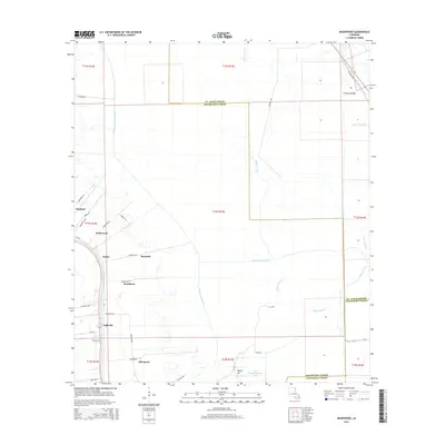 2015 Madewood2015 Print · USGSAssumption Parish settlements line the banks of the bayou in this 2015 survey of the Louisiana lowlands. Researchers can trace historical land divisions and local landmarks from Elmfield to Albemarle, including the Cedar Grove Plantation Pond.
 - 2015 Map of Grassy Lake, 2015 Print
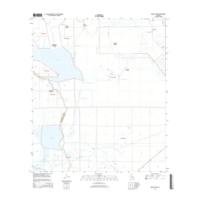 2015 Grassy Lake2015 Print · USGSSt. Martin and Assumption Parishes are shown in the mid-2010s as a labyrinth of cypress-lined waterways and historic landings. Researchers can trace the water-bound settlements of Attakapas Landing and Upper Texas or follow the winding Bayou Geneve.
 - 2015 Map of Centerville NE, 2015 Print
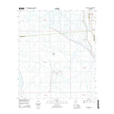 2015 Centerville NE2015 Print · USGSThe Atchafalaya Basin in the mid-2010s is a landscape defined by its shifting waters and essential maritime corridors. Researchers can trace the intersection of the Gulf Intracoastal Waterway with local channels like Bayou Long and Bayou Postillion.
 - 2015 Map of Napoleonville SW, 2015 Print
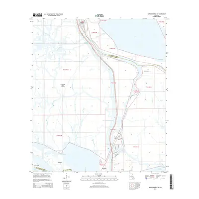 2015 Napoleonville SW2015 Print · USGSThe Atchafalaya Basin near Stephenville is revealed in its modern state as a complex environment of managed waterways and floodway lands. Researchers can trace the layout of island settlements and water passages like Dog Island Pass and Graveyard Island.
 - 2015 Map of Pierre Part, 2015 Print
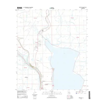 2015 Pierre Part2015 Print · USGSAssumption Parish at the edge of the Atchafalaya Basin is a landscape of winding waterways and resilient settlements. Genealogists and local historians can trace family-named roads and remote reaches like Pierre Part, Lake Verret, and Belle River.
 - 2015 Map of Lone Star, 2015 Print
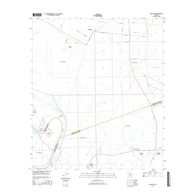 2015 Lone Star2015 Print · USGSIberville and Assumption Parishes are shown in the mid-2010s, capturing a water-bound landscape of bayous and low-lying settlements. Researchers can trace the layout of Lone Star and Goldridge or locate landmarks like Lake Natchez Pass and Bayou Corne.
 - 2015 Map of Pigeon, 2015 Print
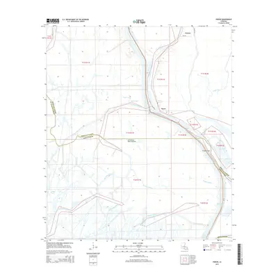 2015 Pigeon2015 Print · USGSThe Atchafalaya Basin at the start of the twenty-first century reveals a landscape defined by water and engineering. Genealogists and local historians can trace family-named bayous and remote settlements like Pigeon and Choctaw along the Lower Grand River.
 - 2015 Map of Donaldsonville, 2015 Print
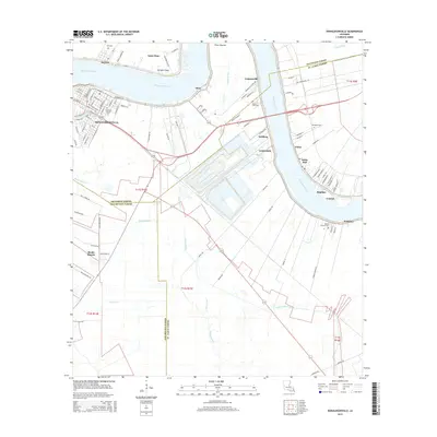 2015 Donaldsonville2015 Print · USGSThe Mississippi River bends through Ascension and St. James Parishes in the mid-2010s, centering on the historic riverfront at Donaldsonville. Researchers can trace old settlement patterns from Lemannville to Welcome and locate family sites like Buena Vista Cem and Ebenezer.
 - 2015 Map of Napoleonville, 2015 Print
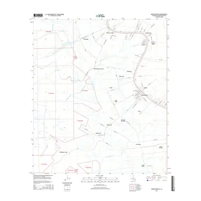 2015 Napoleonville2015 Print · USGSAssumption Parish and the banks of Bayou Lafourche are shown in detail during the mid-2010s, revealing a landscape of historic sugar parishes and bayou settlements. Genealogists and researchers can trace local family roots through sites like Christ Episcopal Cem or follow the path of the Church Spur railroad through Plaincourtville.
Showing maps 1-25 of 65
Top cities of Assumption Parish
Frequently asked questions
- What are the different types of historical maps available for Assumption Parish?
- What is the oldest map of Assumption Parish?
- Where can I purchase historical maps of Assumption Parish for my home or office?
- Where can I download high-res historical maps of Assumption Parish?
- Are there historical topographic maps available for Assumption Parish?
- Is there historical aerial imagery available for Assumption Parish?
- Where are historical maps of Assumption Parish sourced from?