1900s (20th Century) Maps of Bossier Parish, Louisiana
Explore 87 historic maps of Bossier Parish from the 1900s (20th Century). These maps offer a rare glimpse into what life looked like during the 1900s — showing old roads, neighborhoods, homes, and landmarks that have changed or disappeared over time.
Whether you're researching your family's past, planning a metal detecting trip, or studying how Bossier Parish's landscape evolved across the 1900s, these high-resolution maps are a powerful tool for exploring the history of this region.
- Focus on a specific era: All maps on this page are from the 1900s, giving you a focused view of this time period.
- See what’s changed: Compare century-old streets, trails, and buildings to today's modern landscape using overlays and satellite layers.
- Research with precision: Use these maps for genealogy, historical research, land use analysis, or educational projects.
- View, download, or print: Maps are fully viewable online in high resolution, and can be downloaded or printed for your own records.
Start exploring Bossier Parish's history through authentic maps from the 1900s. This is your window into the past.
Bossier Parish, LA maps
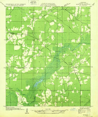
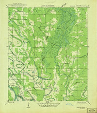
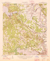
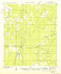
(87)- 1922 Map of Sarepta, 1954 Print
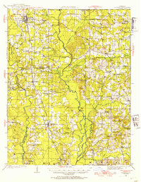 1922 Sarepta1954 Print · USGSCovers Bossier Parish, including Springhill, Cullen, and other nearby areas
 - 1924 Map of Sarepta
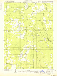
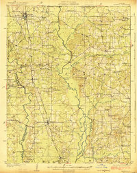 1924 Sarepta1924 Print · USGSCovers Bossier Parish, including Springhill, Cullen, and other nearby areas
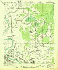
 - 1932 Map of Bossier SE
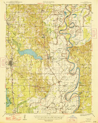
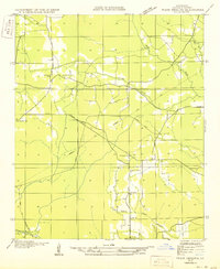
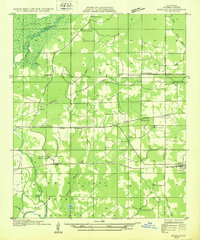 1932 Bossier SE1932 Print · USGSCovers Bossier Parish, including Bossier City, Haughton, and other nearby areas
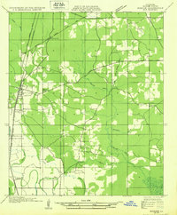
 - 1932 Map of Hosston NE
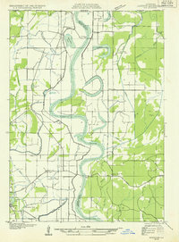 1932 Hosston NE1932 Print · USGSCovers Bossier Parish, including Hosston, Wardview, and other nearby areas
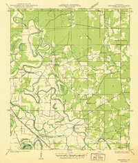
 - 1932 Map of Bossier NE
 1932 Bossier NE1932 Print · USGSCovers Bossier Parish, including Midway, Bellevue, and other nearby areas
 - 1932 Map of Bossier SW
 1932 Bossier SW1932 Print · USGSCovers Bossier Parish, including Shreveport, Bossier City, and other nearby areas
 - 1932 Map of Shreveport SE
 1932 Shreveport SE1932 Print · USGSCovers Bossier Parish, including Shreveport, Blanchard, and other nearby areas
 - 1932 Map of Hosston SE
 1932 Hosston SE1932 Print · USGSCovers Bossier Parish, including Hosston, Belcher, and other nearby areas
 - 1932 Map of Bossier NW
 1932 Bossier NW1932 Print · USGSCovers Bossier Parish, including Benton, Linton, and other nearby areas
 - 1932 Map of Shreveport NE
 1932 Shreveport NE1932 Print · USGSCovers Bossier Parish, including Benton, Belcher, and other nearby areas
 - 1938 Map of Arnsberg
 1938 Arnsberg1938 Print · USGSCovers Bossier Parish, including Bossier City, Haughton, and other nearby areas
 - 1941 Map of East Point
 1941 East Point1941 Print · USGSCovers Bossier Parish, including Cross Roads, Crosskeys, and other nearby areas
 - 1941 Map of Forbing
 1941 Forbing1941 Print · USGSCovers Bossier Parish, including Shreveport, Bossier City, and other nearby areas
 - 1941 Map of Bossier Point
 1941 Bossier Point1941 Print · USGSCovers Bossier Parish, including Poole, Cooterville, and other nearby areas
 - 1947 Map of Ringgold
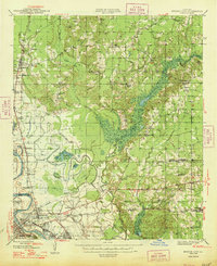
 1947 Ringgold1947 Print · USGSCovers Bossier Parish, including Haughton, Ringgold, and other nearby areas
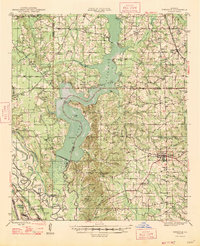
 - 1947 Map of Minden, 1964 Print
 1947 Minden1964 Print · USGSCovers Bossier Parish, including Minden, Haughton, and other nearby areas2 unique versions available
 - 1948 Map of Coushatta
 1948 Coushatta1948 Print · USGSCovers Bossier Parish, including Coushatta, Martin, and other nearby areas
 - 1948 Map of Mooringsport
 1948 Mooringsport1948 Print · USGSCovers Bossier Parish, including Shreveport, Blanchard, and other nearby areas
 - 1948 Map of Vivian
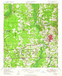
 1948 Vivian1948 Print · USGSCovers Bossier Parish, including Vivian, Oil City, and other nearby areas
 - 1948 Map of Bossier City
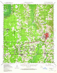
 1948 Bossier City1948 Print · USGSCovers Bossier Parish, including Shreveport, Bossier City, and other nearby areas
 - 1948 Map of Caspiana
 1948 Caspiana1948 Print · USGSCovers Bossier Parish, including Shreveport, Bossier City, and other nearby areas
 - 1949 Map of Minden
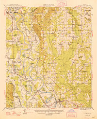
 1949 Minden1949 Print · USGSCovers Bossier Parish, including Minden, Haughton, and other nearby areas
 - 1950 Map of Plain Dealing SW
 1950 Plain Dealing SW1950 Print · USGSCovers Bossier Parish, including Collinsburg, Alden Bridge, and other nearby areas
 - 1950 Map of Plain Dealing NE
 1950 Plain Dealing NE1950 Print · USGSCovers Bossier Parish, including Mot, Carterville, and other nearby areas
 - 1950 Map of Plain Dealing SE
 1950 Plain Dealing SE1950 Print · USGSCovers Bossier Parish, including Ivan, United States, and other nearby areas
Showing maps 1-25 of 87
Top cities of Bossier Parish
- Bossier City historical maps
- Haughton historical maps
- Benton historical maps
- Plain Dealing historical maps
Frequently asked questions
- What are the different types of historical maps available for Bossier Parish?
- What is the oldest map of Bossier Parish?
- Where can I purchase historical maps of Bossier Parish for my home or office?
- Where can I download high-res historical maps of Bossier Parish?
- Are there historical topographic maps available for Bossier Parish?
- Is there historical aerial imagery available for Bossier Parish?
- Where are historical maps of Bossier Parish sourced from?