2020s Maps of Bossier Parish, Louisiana
Explore 54 historic maps of Bossier Parish from the 2020s. These maps offer a rare glimpse into what life looked like during the 2020s — showing old roads, neighborhoods, homes, and landmarks that have changed or disappeared over time.
Whether you're researching your family's past, planning a metal detecting trip, or studying how Bossier Parish's landscape evolved across the 2020s, these high-resolution maps are a powerful tool for exploring the history of this region.
- Focus on a specific era: All maps on this page are from the 2020s, giving you a focused view of this time period.
- See what’s changed: Compare century-old streets, trails, and buildings to today's modern landscape using overlays and satellite layers.
- Research with precision: Use these maps for genealogy, historical research, land use analysis, or educational projects.
- View, download, or print: Maps are fully viewable online in high resolution, and can be downloaded or printed for your own records.
Start exploring Bossier Parish's history through authentic maps from the 2020s. This is your window into the past.
Bossier Parish, LA maps
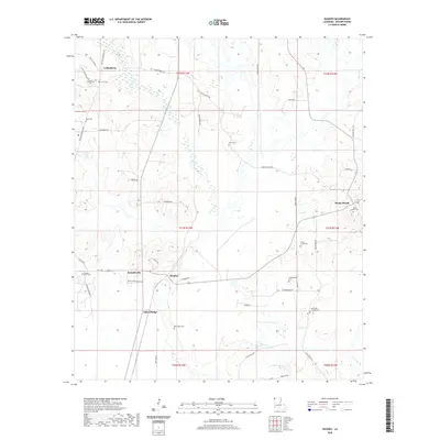
(54)- 2020 Map of Bradley, 2020 Print
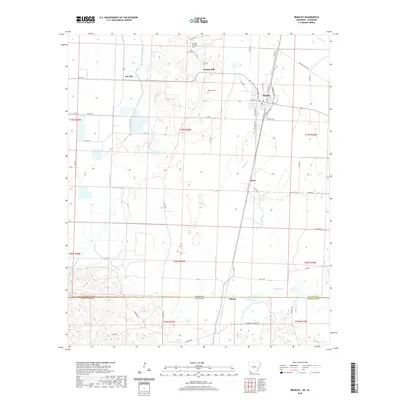 2020 Bradley2020 Print · USGSCovers Bossier Parish, including Bradley, Gin City, and other nearby areas
 - 2020 Map of Bradley SE, 2020 Print
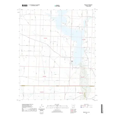 2020 Bradley SE2020 Print · USGSCovers Bossier Parish, including Walker Creek, State Line, and other nearby areas
 - 2020 Map of Doddridge SE, 2020 Print
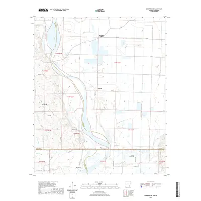 2020 Doddridge SE2020 Print · USGSCovers Bossier Parish, including Canale, Missionary, and other nearby areas
 - 2020 Map of Wardview, 2020 Print
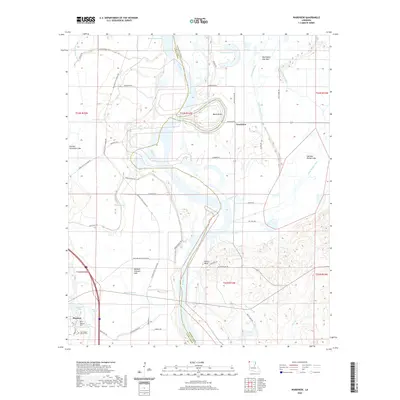 2020 Wardview2020 Print · USGSCovers Bossier Parish, including Hosston, Wardview, and other nearby areas
 - 2020 Map of Bodcau Lake, 2020 Print
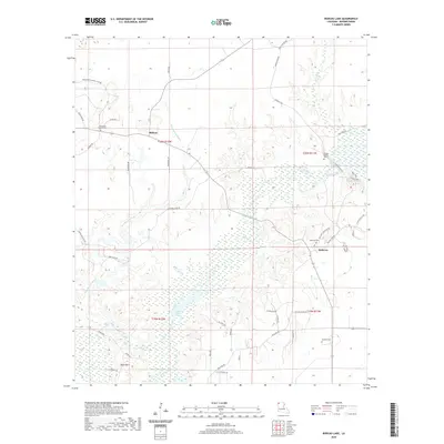 2020 Bodcau Lake2020 Print · USGSCovers Bossier Parish, including Bellevue, Midway, and other nearby areas
 - 2020 Map of Bossier Point, 2020 Print
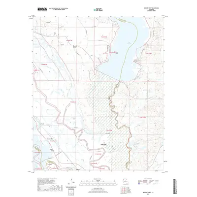 2020 Bossier Point2020 Print · USGSCovers Bossier Parish, including High Island, Cooterville, and other nearby areas
 - 2020 Map of Hughes, 2020 Print
 2020 Hughes2020 Print · USGSCovers Bossier Parish, including Alden Bridge, Swindleville, and other nearby areas
 - 2020 Map of East Point, 2020 Print
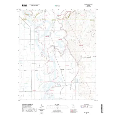 2020 East Point2020 Print · USGSCovers Bossier Parish, including Loggy Bayou, Williams, and other nearby areas
 - 2020 Map of Hortman, 2020 Print
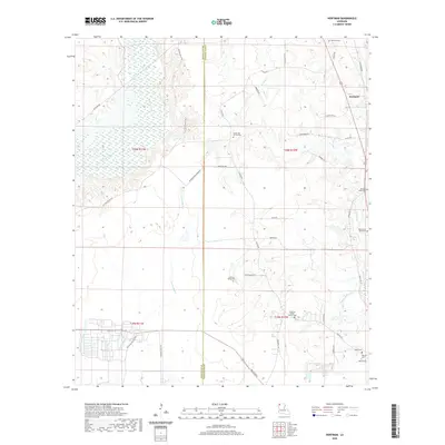 2020 Hortman2020 Print · USGSCovers Bossier Parish, including Hortman, Webster Parish, and other nearby areas
 - 2020 Map of Shreveport East, 2020 Print
 2020 Shreveport East2020 Print · USGSCovers Bossier Parish, including Shreveport, Bossier City, and other nearby areas
 - 2020 Map of Plain Dealing, 2020 Print
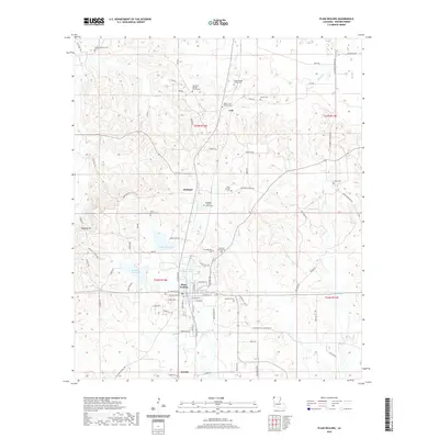 2020 Plain Dealing2020 Print · USGSCovers Bossier Parish, including Plain Dealing, Bolinger, and other nearby areas
 - 2020 Map of Cotton Valley, 2020 Print
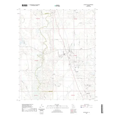 2020 Cotton Valley2020 Print · USGSCovers Bossier Parish, including Cotton Valley, Invincible, and other nearby areas
 - 2020 Map of Ivan, 2020 Print
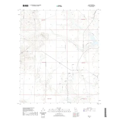 2020 Ivan2020 Print · USGSCovers Bossier Parish, including Ivan, United States, and other nearby areas
 - 2020 Map of Koran, 2020 Print
 2020 Koran2020 Print · USGSCovers Bossier Parish, including Haughton, Koran, and other nearby areas
 - 2020 Map of Cullen, 2020 Print
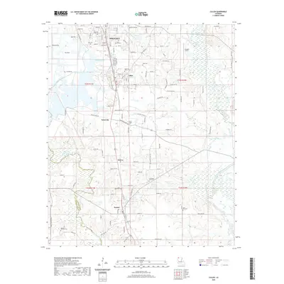 2020 Cullen2020 Print · USGSCovers Bossier Parish, including Springhill, Cullen, and other nearby areas
 - 2020 Map of Eastwood, 2020 Print
 2020 Eastwood2020 Print · USGSCovers Bossier Parish, including Bossier City, Haughton, and other nearby areas
 - 2020 Map of Sligo, 2020 Print
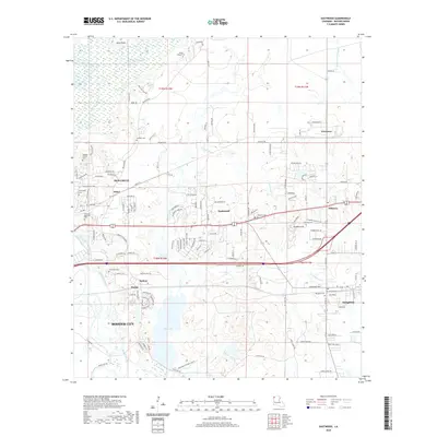
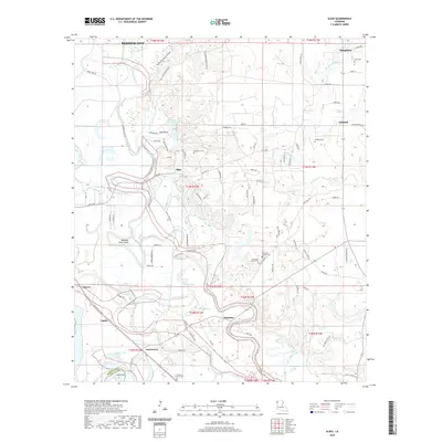 2020 Sligo2020 Print · USGSCovers Bossier Parish, including Bossier City, Haughton, and other nearby areas
 - 2020 Map of Heflin, 2020 Print
 2020 Heflin2020 Print · USGSCovers Bossier Parish, including Heflin, Swift, and other nearby areas
 - 2020 Map of Carterville, 2020 Print
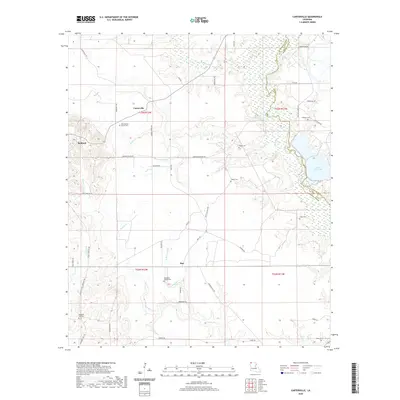 2020 Carterville2020 Print · USGSCovers Bossier Parish, including Carterville, Redland, and other nearby areas
 - 2020 Map of North Highlands, 2020 Print
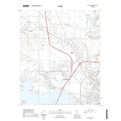 2020 North Highlands2020 Print · USGSCovers Bossier Parish, including Shreveport, Blanchard, and other nearby areas
 - 2020 Map of Bossier City, 2020 Print
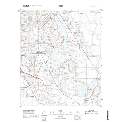
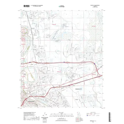 2020 Bossier City2020 Print · USGSCovers Bossier Parish, including Shreveport, Bossier City, and other nearby areas
 - 2020 Map of Dixie, 2020 Print
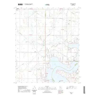
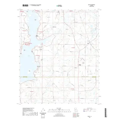
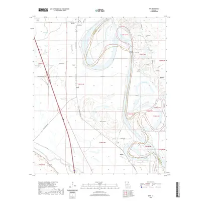 2020 Dixie2020 Print · USGSCovers Bossier Parish, including Benton, Belcher, and other nearby areas
 - 2020 Map of Elm Grove, 2020 Print
 2020 Elm Grove2020 Print · USGSCovers Bossier Parish, including Atkins, Elm Grove, and other nearby areas
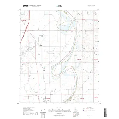
 - 2020 Map of Gilliam, 2020 Print
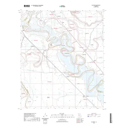
 2020 Gilliam2020 Print · USGSCovers Bossier Parish, including Hosston, Belcher, and other nearby areas
 - 2020 Map of Doyline, 2020 Print
 2020 Doyline2020 Print · USGSCovers Bossier Parish, including Haughton, Doyline, and other nearby areas
Showing maps 1-25 of 54
Top cities of Bossier Parish
- Bossier City historical maps
- Haughton historical maps
- Benton historical maps
- Plain Dealing historical maps
Frequently asked questions
- What are the different types of historical maps available for Bossier Parish?
- What is the oldest map of Bossier Parish?
- Where can I purchase historical maps of Bossier Parish for my home or office?
- Where can I download high-res historical maps of Bossier Parish?
- Are there historical topographic maps available for Bossier Parish?
- Is there historical aerial imagery available for Bossier Parish?
- Where are historical maps of Bossier Parish sourced from?