2010s Maps of Bossier Parish, Louisiana
Explore 81 historic maps of Bossier Parish from the 2010s. These maps offer a rare glimpse into what life looked like during the 2010s — showing old roads, neighborhoods, homes, and landmarks that have changed or disappeared over time.
Whether you're researching your family's past, planning a metal detecting trip, or studying how Bossier Parish's landscape evolved across the 2010s, these high-resolution maps are a powerful tool for exploring the history of this region.
- Focus on a specific era: All maps on this page are from the 2010s, giving you a focused view of this time period.
- See what’s changed: Compare century-old streets, trails, and buildings to today's modern landscape using overlays and satellite layers.
- Research with precision: Use these maps for genealogy, historical research, land use analysis, or educational projects.
- View, download, or print: Maps are fully viewable online in high resolution, and can be downloaded or printed for your own records.
Start exploring Bossier Parish's history through authentic maps from the 2010s. This is your window into the past.
Bossier Parish, LA maps
(81)- 2011 Map of Doddridge SE, 2011 Print
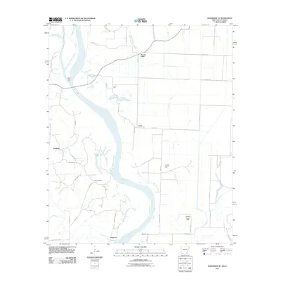 2011 Doddridge SE2011 Print · USGSThe Red River floodplain at the Arkansas-Louisiana border reveals a landscape defined by its waterways and historic crossings. Researchers can trace the river's legacy through family landmarks like Blanton Cemetery and river transit points including Spring Bank Ferry and Missionary Ferry.
 - 2011 Map of Bradley SE, 2011 Print
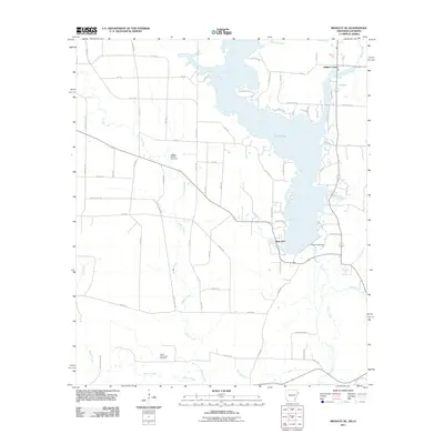 2011 Bradley SE2011 Print · USGSLafayette County and northern Louisiana are captured here during the early twenty-first century as industrial energy and water management define the landscape. Trace the expanse of Lake Erling or locate sites within the Bradley Oil and Gas Field and near Walker Creek.
 - 2011 Map of Bradley, 2011 Print
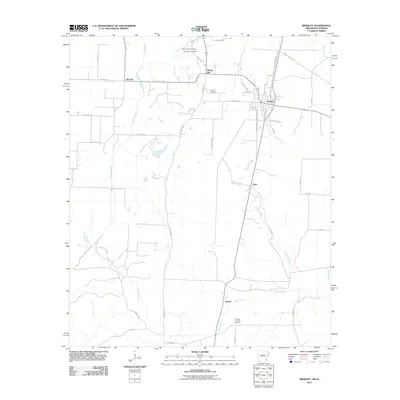 2011 Bradley2011 Print · USGSBradley and its surrounding lowlands are captured here in the early twenty-first century. Researchers can locate early family sites near Walnut Hill Cemetery or trace the industrial footprint of the Arkana Oil and Gas Field.
 - 2012 Map of Wardview, 2012 Print
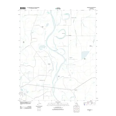 2012 Wardview2012 Print · USGSUpper Caddo Parish near the Arkansas line is revealed in this 2012 survey as a complex network of active oil fields and ancient river meanders. Researchers can pinpoint Wardview or trace lineage at Hosston Cemetery while exploring Halfmoon Lake and Old Posten Lake Bed.
 - 2012 Map of Ivan, 2012 Print
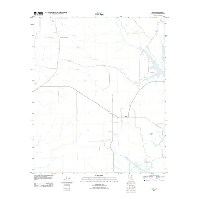 2012 Ivan2012 Print · USGSBossier Parish in the early twenty-first century reveals a landscape where the energy industry and local family roots intersect. Researchers can locate several burial sites including Smith-Gilmer Cem or trace the geography of the Rocky Mount Gas Field and Ivan Lake.
 - 2012 Map of Plain Dealing, 2012 Print
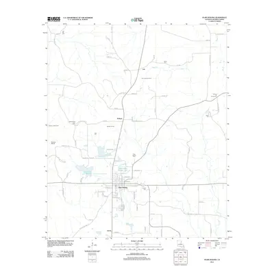 2012 Plain Dealing2012 Print · USGSBossier Parish at the start of the 2010s shows a landscape where small-town agriculture meets the active energy industry. Researchers can trace family sites at Plain Dealing Cem, explore the area around Antrim, or locate the Dogwood Boy Scout Camp near the bayous.
 - 2012 Map of Carterville, 2012 Print
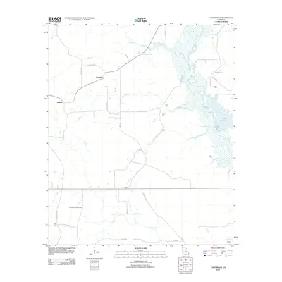 2012 Carterville2012 Print · USGSLouisiana's Bossier Parish landscape in the early twenty-first century is characterized by the winding wetlands of Bodcau Cr and rural industry. Researchers can trace the legacy of the Sarepta Oil Field and locate numerous family burial grounds including Timothy Cem and Stubbs Cem.
 - 2012 Map of Sligo, 2012 Print
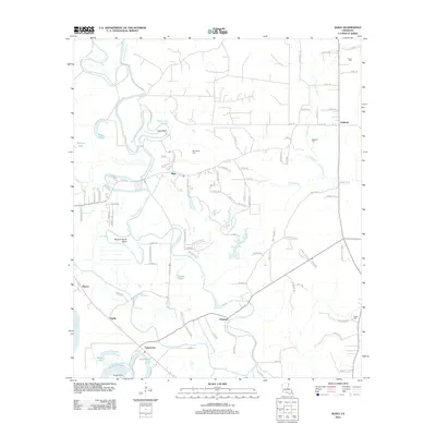 2012 Sligo2012 Print · USGSBossier Parish at the start of the 2010s reveals a landscape deeply tied to the winding paths of Red Chute Bayou and the Red River. Genealogists and local historians can trace family-named sites like Oakland Cem, Suggs Cem, and the settlement of Sligo.
 - 2012 Map of Gilliam, 2012 Print
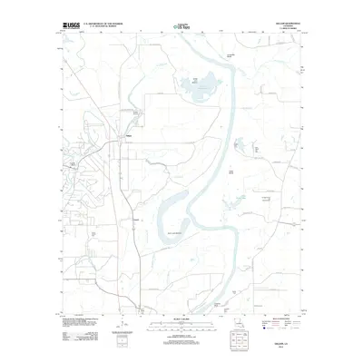 2012 Gilliam2012 Print · USGSUpper Caddo Parish reveals its river-bottom character in the early 2010s, defined by the winding course of the Red River and the rural community of Gilliam. Local historians can trace family roots at Union Chapel Cem and Prairie Cem or explore the geography of Dutch John Lake and Black Bayou.
 - 2012 Map of Hughes, 2012 Print
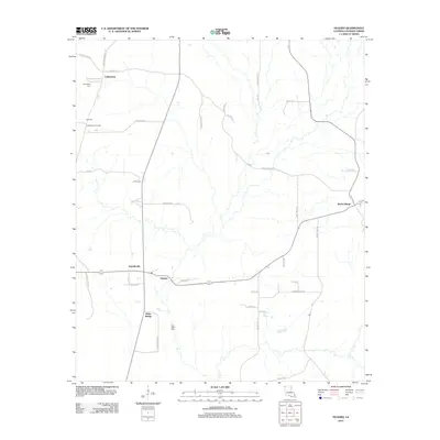 2012 Hughes2012 Print · USGSBossier Parish at the start of the decade shows a rural landscape where small settlements like Alden Bridge and Rocky Mount center a network of family-named roads. Researchers can trace land use through the Collinsburg Oil Field or locate ancestral sites at High Cem and Dove Dale Cem.
 - 2012 Map of Wallace Lake, 2012 Print
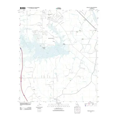 2012 Wallace Lake2012 Print · USGSThe Shreveport outskirts meet the wetlands of the Red River valley in this 2010s-era survey of Caddo and De Soto Parishes. Genealogists and local historians can locate Springfield Cem and Antioch Cem, or trace early river landings like De Broeck Landing.
 - 2012 Map of Doyline, 2012 Print
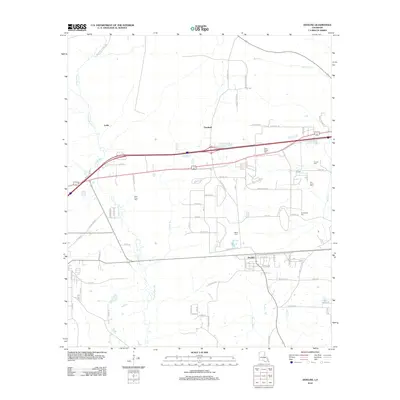 2012 Doyline2012 Print · USGSLouisiana's Bossier Parish landscape is captured here in the early twenty-first century, centered on the community of Doyline. Researchers can trace local lineage through several burial sites like Crowe Cem and Vanorsdale Cem along the Clarke Bayou drainage.
 - 2012 Map of Heflin, 2012 Print
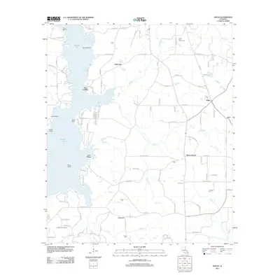 2012 Heflin2012 Print · USGSHeflin and the surrounding Webster Parish countryside are mapped here during a period of active energy production and rural expansion. Genealogists and local historians can trace family locations through numerous sites like Union Cem, Yellow Pine, and the Sibley Gas and Oil Field.
 - 2012 Map of Cotton Valley, 2012 Print
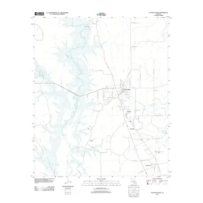 2012 Cotton Valley2012 Print · USGSWebster Parish at the beginning of the 2010s reveals a landscape of quiet communities connected by winding rural roads and extensive wetlands. Genealogists and local historians can locate several family burial sites including Coyle Cem and Hodges Cem, or trace the settlement clusters of Dayson and Invincible.
 - 2012 Map of Bodcau Lake, 2012 Print
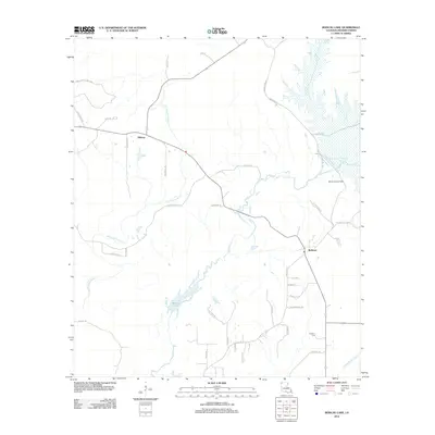 2012 Bodcau Lake2012 Print · USGSBossier Parish at the start of the 2010s is defined by its extensive wetlands and the small communities of Bellevue and Midway. Researchers can trace family sites near Hawkins Cem or locate the landmark Bodcau Lookout Tower overlooking the reservoir.
 - 2012 Map of Hortman, 2012 Print
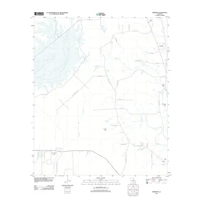 2012 Hortman2012 Print · USGSWebster Parish at the start of the 2010s reveals a landscape defined by the energy industry and rural crossroads. Researchers can locate several burial sites like Growing Valley Cem and trace the influence of the Bellevue Oil and Gas Field.
 - 2012 Map of Benton, 2012 Print
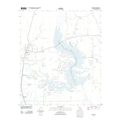 2012 Benton2012 Print · USGSBossier Parish at the start of the 2010s reveals a landscape shaped by large reservoirs and active energy extraction. Genealogists and local historians can locate several rural burial sites like Macedonia Cem and Pilkinson Cem near Benton and Linton.
 - 2012 Map of Eastwood, 2012 Print
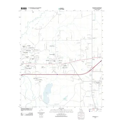 2012 Eastwood2012 Print · USGSBossier Parish at the start of the 2010s shows a landscape of growing residential suburbs situated alongside deep-rooted industrial sites. Genealogists and local historians can locate long-standing landmarks like Fellowship Cem and Haughton Cem near the Sligo Oil and Gas Field.
 - 2012 Map of East Point, 2012 Print
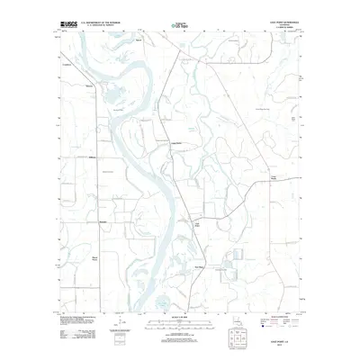 2012 East Point2012 Print · USGSRed River Parish's river-bottom lands and energy fields are shown here in the early 2010s. Researchers can locate family landmarks like Saint Marks Cem and the small communities of East Point and Ninock amidst the basin's complex bayous.
 - 2012 Map of Cullen, 2012 Print
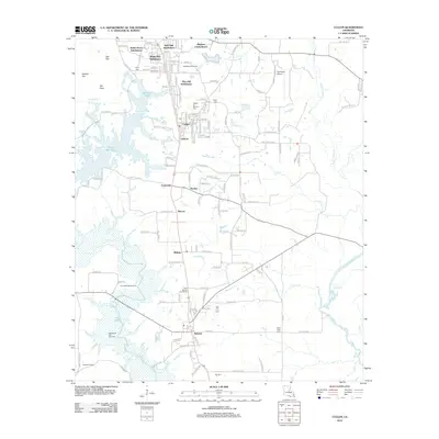 2012 Cullen2012 Print · USGSNorth Louisiana’s timber and oil country is captured here during the early twenty-first century, showing the established communities of Sarepta and Cullen. Researchers can trace local heritage through sites like Saint Moriah Cemeteries and the Stroud Bridge Oil Field.
 - 2012 Map of Dixie, 2012 Print
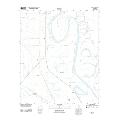 2012 Dixie2012 Print · USGSNorth Louisiana’s river bottomlands come into focus in this recent study of the alluvial valley. Local researchers can trace family landmarks like Dickson Cem and the industrial footprints of the Dixie Oil Field and Rock Point Oil Field.
 - 2012 Map of Elm Grove, 2012 Print
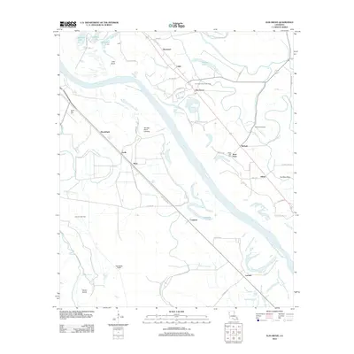 2012 Elm Grove2012 Print · USGSThe Red River valley south of Shreveport is captured here in the early 2010s, showing a landscape defined by oxbow lakes and the energy industry. Genealogists and local historians can trace the roads and homesteads near Elm Grove, Atkins, and the Youngs Point Landing.
 - 2012 Map of Koran, 2012 Print
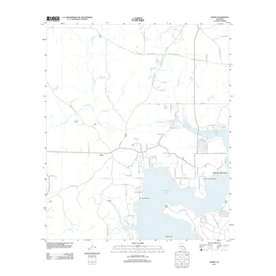 2012 Koran2012 Print · USGSLouisiana's Bossier Parish bayou country is captured in the early twenty-first century as rural homesteads and timberlands surround the waters of Tadpole Lake. Genealogists can trace family connections through numerous local landmarks like Koran Cem, Marshall Cem, and Plum Orchard Landing.
 - 2012 Map of Bossier Point, 2012 Print
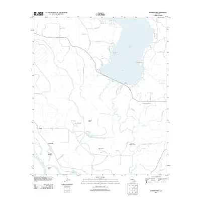 2012 Bossier Point2012 Print · USGSBossier Parish, Louisiana, is captured here in the early twenty-first century as a landscape of wide bayous, river bends, and active oil fields. Researchers can locate the Mary Magdalene Cem and trace old family sites near Loggy Bayou Plantation Airport and Vickers Landing.
 - 2012 Map of Shreveport East, 2012 Print
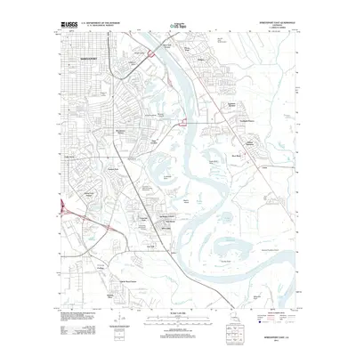 2012 Shreveport East2012 Print · USGSShreveport and its eastern suburbs are shown here in the early twenty-first century as they border the shifting bends of the Red River. Researchers can trace the layout of the LSU Shreveport campus or locate the Red River Cem and Scopena Plantation Airport.
Showing maps 1-25 of 81
Top cities of Bossier Parish
- Bossier City historical maps
- Haughton historical maps
- Benton historical maps
- Plain Dealing historical maps
Frequently asked questions
- What are the different types of historical maps available for Bossier Parish?
- What is the oldest map of Bossier Parish?
- Where can I purchase historical maps of Bossier Parish for my home or office?
- Where can I download high-res historical maps of Bossier Parish?
- Are there historical topographic maps available for Bossier Parish?
- Is there historical aerial imagery available for Bossier Parish?
- Where are historical maps of Bossier Parish sourced from?