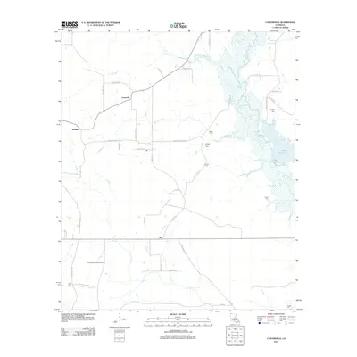
2012 Map of Carterville
USGS Topo · Published 2012About this map
The lowlands of Bodcau Cr and its many tributaries, including Teague Br and Boggs Cr, define the eastern landscape of this Bossier Parish quadrangle. The 2012 survey documents a rural environment shaped by natural water features and local industry, exemplified by the Sarepta Oil Field and the Paper Mill Pond. Small clusters of settlement at Carterville, Redland, and Mot are connected by a network of local roads such as Carterville Rd and Walkers Chapel Rd.
Find a feature on this map
52 named features on this map. Tap any name to fly to it.
Don’t see what you’re looking for? This feature index may not catch every label — zoom into the map to look around manually.
Map Details
Editions of this 2012 Carterville Map
This is the sole edition of this map. No revisions or reprints were ever made.
Other maps of this area

1922 · Sarepta
USGS Topo · 1:62,500

1924 · Sarepta
USGS Topo · 1:62,500

1950 · Plain Dealing SW
USGS Topo · 1:31,680

1950 · Plain Dealing NE
USGS Topo · 1:31,680

1950 · Plain Dealing SE
USGS Topo · 1:31,680

1950 · Plain Dealing NW
USGS Topo · 1:31,680

1952 · Bradley
USGS Topo · 1:24,000

1952 · Bradley SE
USGS Topo · 1:24,000

1953 · Carterville
USGS Topo · 1:24,000

1953 · El Dorado
USGS Topo · 1:250,000