2010s Maps of Shreveport, Louisiana
Explore 24 historic maps of Shreveport from the 2010s. These maps offer a rare glimpse into what life looked like during the 2010s — showing old roads, neighborhoods, homes, and landmarks that have changed or disappeared over time.
Whether you're researching your family's past, planning a metal detecting trip, or studying how Shreveport's landscape evolved across the 2010s, these high-resolution maps are a powerful tool for exploring the history of this region.
- Focus on a specific era: All maps on this page are from the 2010s, giving you a focused view of this time period.
- See what’s changed: Compare century-old streets, trails, and buildings to today's modern landscape using overlays and satellite layers.
- Research with precision: Use these maps for genealogy, historical research, land use analysis, or educational projects.
- View, download, or print: Maps are fully viewable online in high resolution, and can be downloaded or printed for your own records.
Start exploring Shreveport's history through authentic maps from the 2010s. This is your window into the past.
Shreveport, LA maps
(24)- 2012 Map of Stonewall, 2012 Print
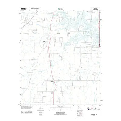 2012 Stonewall2012 Print · USGSLouisiana's northern interior comes into focus during the early 2010s, showing the evolving landscapes of Stonewall and Keithville. Trace family history at Powell Cem or explore the reach of the local energy industry at the Caspiana Gas Field.
 - 2012 Map of Greenwood, 2012 Print
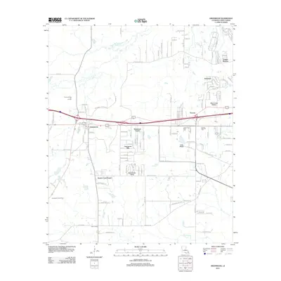 2012 Greenwood2012 Print · USGSWest of Shreveport in the early 2010s, this area shows a landscape of growing residential estates alongside established parish institutions. Researchers can trace local developments like Greenwood Hills and Expressway Acres or locate the Caddo Parish Penal Farm and Lincoln Memorial Park.
 - 2012 Map of Wallace Lake, 2012 Print
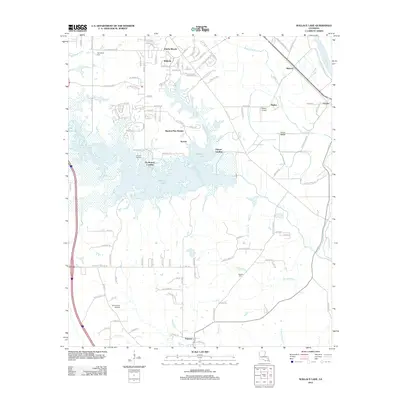 2012 Wallace Lake2012 Print · USGSThe Shreveport outskirts meet the wetlands of the Red River valley in this 2010s-era survey of Caddo and De Soto Parishes. Genealogists and local historians can locate Springfield Cem and Antioch Cem, or trace early river landings like De Broeck Landing.
 - 2012 Map of Shreveport West, 2012 Print
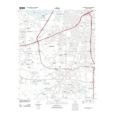 2012 Shreveport West2012 Print · USGSShreveport at the start of the 2010s reveals a cityscape defined by its proximity to the waters of Cross Lake and the convergence of two major interstates. Researchers can pinpoint long-standing landmarks like the Louisiana State Fairgrounds or trace family history at Jewella Cem and Saint Joseph Cem.
 - 2012 Map of Blanchard, 2012 Print
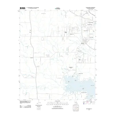 2012 Blanchard2012 Print · USGSThe northern shores of the Shreveport area are captured in the early 21st century as suburban growth reaches toward the gas fields. Genealogists can trace family roots at Mount Zion Cem and Walker Hill Cem, or explore established locales like Blanchard and Longwood.
 - 2012 Map of Shreveport East, 2012 Print
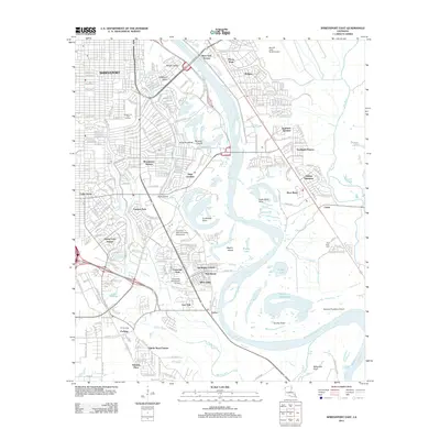 2012 Shreveport East2012 Print · USGSShreveport and its eastern suburbs are shown here in the early twenty-first century as they border the shifting bends of the Red River. Researchers can trace the layout of the LSU Shreveport campus or locate the Red River Cem and Scopena Plantation Airport.
 - 2012 Map of North Highlands, 2012 Print
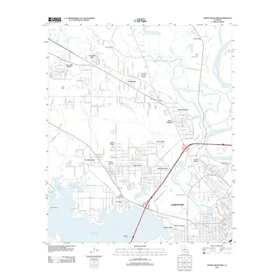 2012 North Highlands2012 Print · USGSShreveport at the start of the 2010s shows a landscape shaped by energy production and the expansive waters of Cross Lake. Researchers can trace neighborhood growth through Pine Hill Estates and Dorian Terrace, or locate local landmarks like Oakland Cem and the Shreveport Oil Field.
 - 2012 Map of Bossier City, 2012 Print
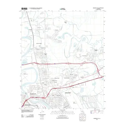 2012 Bossier City2012 Print · USGSThe Shreveport and Bossier City area in the early 2010s shows a landscape where urban expansion meets the historic bayous of the Red River valley. Researchers can trace family sites near Mount Zion Cem or follow the growth of residential tracts like Vanceville and Green Acres.
 - 2015 Map of Shreveport West, 2015 Print
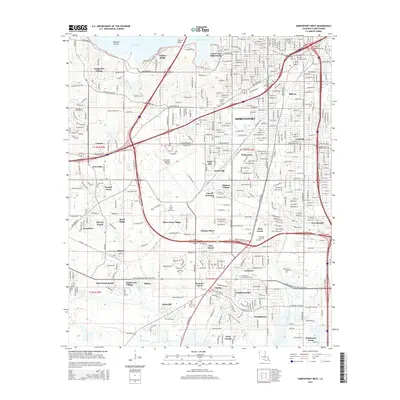 2015 Shreveport West2015 Print · USGSShreveport's western expansion reaches the shores of Cross Lake during this modern era of suburban development. Genealogists can trace family plots across numerous sites including Hebrew Rest Cem, Saint Joseph Cem, and Forest Park Cem.
 - 2015 Map of Bossier City, 2015 Print
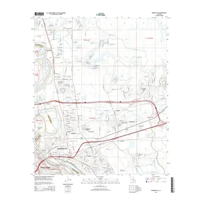 2015 Bossier City2015 Print · USGSShreveport and Bossier City are captured in this mid-2010s survey as the Red River corridor continues to balance urban expansion with its natural bayou systems. Researchers can trace local heritage through sites like Mount Zion Cem, Vanceville, and Barksdale Air Force Base.
 - 2015 Map of Shreveport East, 2015 Print
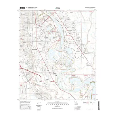 2015 Shreveport East2015 Print · USGSThe Red River corridor between Shreveport and Bossier City is captured here during a period of modern expansion. Researchers can trace institutional land use at Barksdale Air Force Base or locate local landmarks like Red River Cem and Harts Island.
 - 2015 Map of Greenwood, 2015 Print
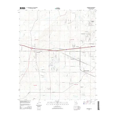 2015 Greenwood2015 Print · USGSCaddo Parish in the mid-2010s shows a landscape of growing residential enclaves and industrial corridors west of the city. Genealogists and local historians can trace family-named roads and established sites like Mount Olive Cem, Lincoln Memorial Park, and Greenwood.
 - 2015 Map of Blanchard, 2015 Print
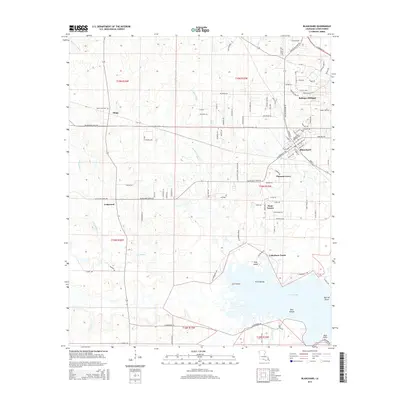 2015 Blanchard2015 Print · USGSCaddo Parish northwest of Shreveport shows its transition from rural bayous to lakeside communities in the mid-2010s. Trace local history through the Mount Zion Cem and Walker Hill Cem, or explore the shorelines of Cross Lake near Gum Island.
 - 2015 Map of Wallace Lake, 2015 Print
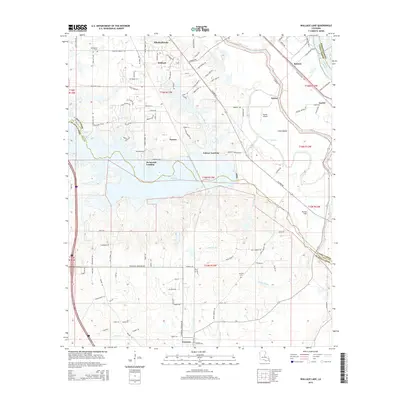 2015 Wallace Lake2015 Print · USGSThe rural landscapes and bayou networks south of Shreveport are documented here in the mid-2010s as residential growth meets traditional parish lands. Genealogists can locate family landmarks like Springfield Cem and Antioch Cem, or trace the landings at De Broeck Landing and Palmer Landing.
 - 2015 Map of Stonewall, 2015 Print
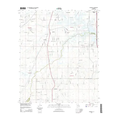 2015 Stonewall2015 Print · USGSThe border of Caddo and De Soto Parishes is shown here in the mid-2010s as it balances rural ranching with residential growth. Genealogists and local historians can trace the paths of Cypress Bayou, locate the Powell Cem, or study the layouts of Stonewall and Keithville.
 - 2015 Map of North Highlands, 2015 Print
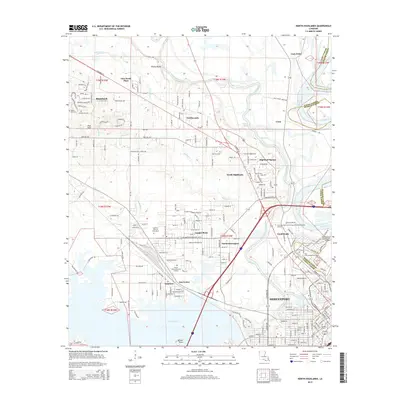 2015 North Highlands2015 Print · USGSNorth of Shreveport in the mid-2010s, the landscape was a blend of established neighborhoods and the complex river system of Caddo Parish. Genealogists and historians can trace residential growth around Cooper Road, Blanchard, and the historic Oakland Cem.
 - 2018 Map of North Highlands, 2018 Print
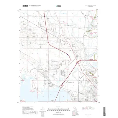 2018 North Highlands2018 Print · USGSShreveport and its northern suburbs are captured in detail during the late twenty-tens, showing the city's relationship with the Red River and Twelvemile Bayou. Researchers can trace local heritage through Oakland Cem, the Southern Univ at Shreveport campus, and the historic Cooper Road neighborhood.
 - 2018 Map of Bossier City, 2018 Print
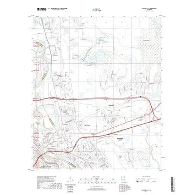 2018 Bossier City2018 Print · USGSThe Shreveport and Bossier City riverfront is captured here in the late 2010s as a hub of military and aviation activity. Researchers can trace the layout of Barksdale Air Force Base, locate Mount Zion Cem, and follow the Union Pacific rail lines through Hinkle and Honore.
 - 2018 Map of Wallace Lake, 2018 Print
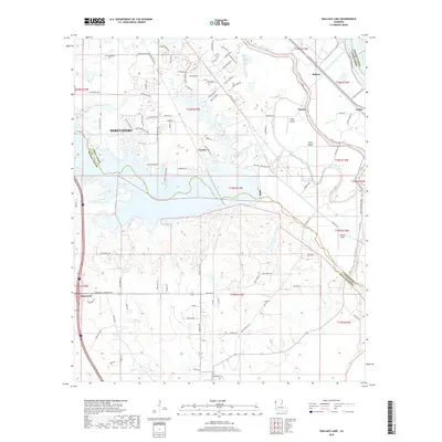 2018 Wallace Lake2018 Print · USGSThe southern reach of the Shreveport area is documented here in the late twenty-teens, showing the intersection of three parishes and the waters of Wallace Lake. Genealogists can locate family sites near Springfield Cem or trace the development of small communities like Stonewall and Robson.
 - 2018 Map of Shreveport East, 2018 Print
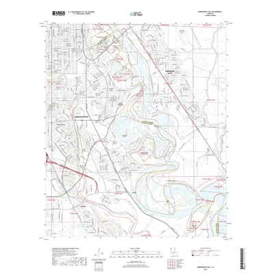 2018 Shreveport East2018 Print · USGSShreveport and Bossier City are documented here in the late twenty-teens, showing the intricate relationship between the Red River and the modern city. Researchers can trace the boundaries of Barksdale Air Force Base or locate local landmarks like Red River Cem and Lake Forbing.
 - 2018 Map of Blanchard, 2018 Print
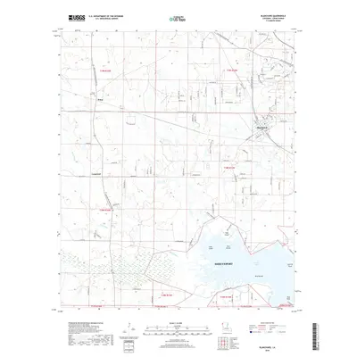 2018 Blanchard2018 Print · USGSShreveport's northern reach and the town of Blanchard are mapped here in the late 2010s. Genealogists and local historians can trace family locations near Mount Zion Cem and the rail-side settlement of Shipp or along the shores of Cross Lake.
 - 2018 Map of Stonewall, 2018 Print
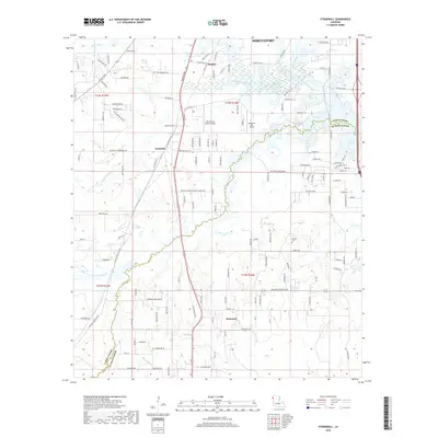 2018 Stonewall2018 Print · USGSThe rural interface of Caddo and De Soto parishes comes into focus in this late twenty-first-century survey. Genealogists and local historians can trace family locations near Stonewall, Keithville, and the Powell Cemetery, or locate the Old Hickory Ranch Airport.
 - 2018 Map of Shreveport West, 2018 Print
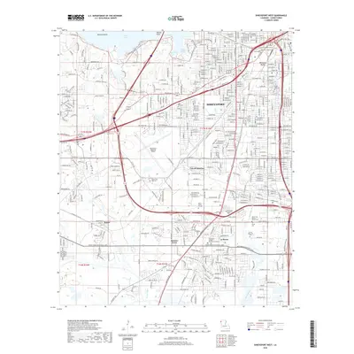 2018 Shreveport West2018 Print · USGSShreveport and its western environs are shown during a period of modern expansion within Caddo Parish. Genealogists and local historians can trace family locations near numerous landmarks like Jewella Cem, Summer Grove, and the Hebrew Rest Cem.
 - 2018 Map of Greenwood, 2018 Print
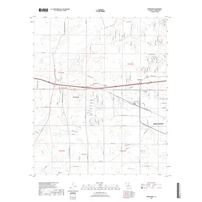 2018 Greenwood2018 Print · USGSWest of Shreveport in the late 2010s, this area shows a landscape of growing residential loops and historic bayous. Researchers can trace family sites near Mount Olive Cem or follow the routes of Page Bayou and Greenwood Rd.
End of results
Showing maps 1-24 of 24
Top cities near Shreveport
- Bossier City historical maps
- Blanchard historical maps
- Greenwood historical maps
- Benton historical maps
- Stonewall historical maps
- Mooringsport historical maps
Top neighborhoods of Shreveport
- Pine Hill Estates historical maps
- Dorian Terrace historical maps
- Highland Square historical maps
- Gas Center historical maps
- Good Roads historical maps
- North Highlands historical maps
See more
Frequently asked questions
- What are the different types of historical maps available for Shreveport?
- What is the oldest map of Shreveport?
- Where can I purchase historical maps of Shreveport for my home or office?
- Where can I download high-res historical maps of Shreveport?
- Are there historical topographic maps available for Shreveport?
- Is there historical aerial imagery available for Shreveport?
- Where are historical maps of Shreveport sourced from?