Old Maps of Carlyss, Louisiana for Metal Detecting
Plan your next treasure hunt with 14 historic maps of Carlyss. Find old homesites, ghost towns, trails, and gathering spots that may be lost to time — perfect for identifying promising metal detecting locations.
- Locate forgotten sites: Uncover places like long-lost settlements, abandoned rail lines, or gathering spots.
- Plan better hunts: Use map overlays combined with LiDAR or satellite views to narrow in on historically rich areas.
- Made for detectorists: Thousands of hobbyists use these maps to discover relics, coins, and hidden history.
Use these historic maps to boost your research and find new opportunities beneath the surface of Carlyss.
Carlyss, LA maps
(14)- 1947 Map of Sulphur
 1947 Sulphur1947 Print · USGSIn Calcasieu Parish during the mid-1940s, the rail and road networks around Sulphur supported a growing industrial landscape. Genealogists and researchers can trace local landmarks like Choupique Sch and the vanished stop at Brimstone.
 - 1952 Map of Lake Charles
 1952 Lake Charles1952 Print · USGSSouthwest Louisiana is captured here in the mid-fifties, showing a landscape defined by the rise of the petrochemical industry and deep-water navigation. Researchers can trace family roots through numerous small-town settlements and oil developments like Nibletts Bluff, the Lockport Oil Field, and Starks.
 - 1954 Map of Sulphur
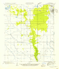 1954 Sulphur1954 Print · USGSCalcasieu Parish reveals its industrial and rural character in the mid-1950s as settlements like Sulphur and Brimstone expand along the rail lines. Researchers can trace historic water routes and local landmarks including the Choupique Sch, Carlyss, and Spring Gully.
 - 1954 Map of Lake Charles, 1964 Print
 1954 Lake Charles1964 Print · USGSSouthwest Louisiana in the mid-fifties is defined by its massive petroleum industry and its complex network of bayous and rail lines. Researchers can trace the development of the Sulphur Mines Oil Field or locate historic settlements like Longville and De Quincy.3 unique versions available
 - 1955 Map of Sulphur, 1956 Print
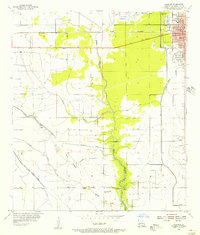 1955 Sulphur1956 Print · USGSCalcasieu Parish in the mid-fifties shows a landscape of rising industry and expanding neighborhoods around the rail lines. Genealogists and local historians can trace the early layout of Sulphur and locate sites like the Roseland Cem and the settlement of Brimstone.3 unique versions available
 - 1955 Map of Sulphur, 1956 Print
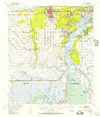 1955 Sulphur1956 Print · USGSCalcasieu Parish in the mid-fifties is a landscape of rapid industrial growth centered on the sulfur and oil fields. Researchers can trace the roots of local communities through the Mimosa-Pines Cem, the Salem Sch, and the Black Bayou Ferry crossing.3 unique versions available
 - 1986 Map of Lake Charles
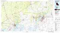 1986 Lake Charles1986 Print · USGSThe Louisiana-Texas borderlands are captured here in the mid-1980s, showcasing the industrial growth of the Lake Charles region and its rail-linked satellite towns. Trace the evolution of coastal settlements and family landmarks from Sulphur to the Highland Cem.2 unique versions available
 - 1994 Map of Sulphur, 1996 Print
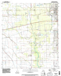 1994 Sulphur1996 Print · USGSCalcasieu Parish comes into focus during the mid-nineties as the industrial and residential centers of Sulphur and Carlyss expand. Researchers can trace local landmarks like Roseland Cem, the historic site of Brimstone, and the regional Southland Field.
 - 1998 Map of Sulphur, 2000 Print
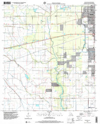 1998 Sulphur2000 Print · USGSCalcasieu Parish at the close of the twentieth century shows a landscape defined by industry and water management. Researchers can trace the development of Sulphur and Carlyss, locating landmarks like Roseland Cem and the historic area of Brimstone.
 - 2012 Map of Sulphur, 2012 Print
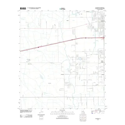 2012 Sulphur2012 Print · USGSCoastal Louisiana's industrial and residential corridors are mapped here during a period of significant regional infrastructure. Genealogists and researchers can pinpoint family locations near Sulphur, Carlyss, and the Roseland Cem or trace land use near the North Choupique Oil and Gas Field.
 - 2015 Map of Sulphur, 2015 Print
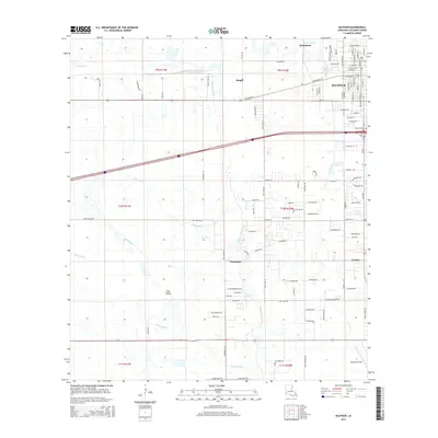 2015 Sulphur2015 Print · USGSCalcasieu Parish at the midpoint of the 2010s shows the continued growth of Sulphur and Carlyss amidst a landscape shaped by Gulf Coast bayous. Genealogists and local historians can trace family locations near Roseland Cem or follow the waters of Bayou d'Inde and Bayou Choupique.
 - 2018 Map of Sulphur, 2018 Print
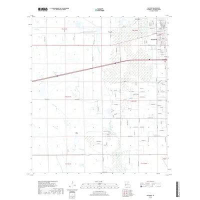 2018 Sulphur2018 Print · USGSCalcasieu Parish's industrial and residential landscape is captured here in the late 2010s, centered on the growing city of Sulphur. Researchers can trace the local street networks, find Roseland Cem, and locate landmarks like Brimstone and Southland Field.
 - 2020 Map of Sulphur, 2020 Print
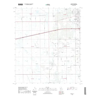 2020 Sulphur2020 Print · USGSCalcasieu Parish comes to life in this modern study of the area's complex water network and growing communities. Genealogists and local historians can trace family roots at Edgerly Cem or explore the geography of Brimstone and Southland Field.
 - 2024 Map of Sulphur, 2024 Print
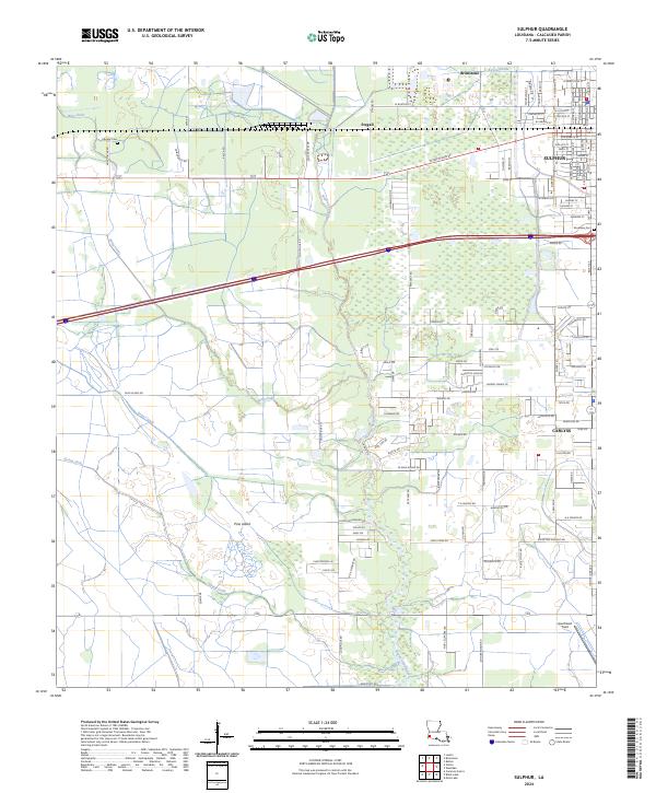 2024 Sulphur2024 Print · USGSCoastal Louisiana near the Calcasieu River comes into focus in this contemporary survey of a region shaped by industry and water management. Researchers can trace family sites at Edgerly Cem, locate the airfield at Southland Field, or explore the historic settlements of Brimstone and Carlyss.
End of results
Showing maps 1-14 of 14
Top cities near Carlyss
Frequently asked questions
- What are the different types of historical maps available for Carlyss?
- What is the oldest map of Carlyss?
- Where can I purchase historical maps of Carlyss for my home or office?
- Where can I download high-res historical maps of Carlyss?
- Are there historical topographic maps available for Carlyss?
- Is there historical aerial imagery available for Carlyss?
- Where are historical maps of Carlyss sourced from?