Old Maps of Catahoula Parish, Louisiana
Explore 70 old maps of Catahoula Parish, spanning from 1935 to today. These high-resolution historic maps reveal how streets, neighborhoods, landmarks, and natural features evolved over time — perfect for genealogy, metal detecting, research, and local history exploration.
What you can do with these maps:
- See how Catahoula Parish changed over time: Compare historical maps to modern-day views to trace roads, homesites, rail lines & more.
- View detailed metadata: Each map includes creators, publishers, year, scale, and archive source.
- Overlay maps with satellite & LiDAR: Visualize the past alongside modern tools to explore terrain & human change.
- Trusted historical sources: Maps sourced from the USGS, Library of Congress, and other archives.
- Access maps your way: View online, download high-res files, or order prints for personal or research use.
Start exploring old maps of Catahoula Parish to uncover forgotten places, hidden landmarks, and the deep history beneath your feet.
Catahoula Parish, LA maps
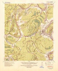
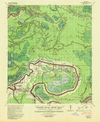
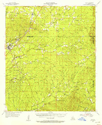
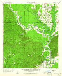
(70)- 1935 Map of Tooleys, 1936 Print
 1935 Tooleys1936 Print · USGSCovers Catahoula Parish, including Eva, Serena, and other nearby areas
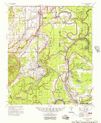
 - 1939 Map of Red Gum, 1941 Print
 1939 Red Gum1941 Print · USGSCovers Catahoula Parish, including Ferriday, Ridgecrest, and other nearby areas2 unique versions available
 - 1939 Map of Deer Park, 1951 Print
 1939 Deer Park1951 Print · USGSCovers Catahoula Parish, including Bougere, Fairview, and other nearby areas
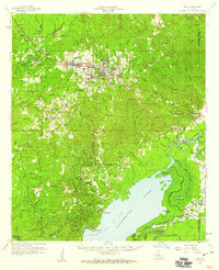
 - 1940 Map of Marksville, 1943 Print
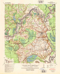 1940 Marksville1943 Print · USGSCovers Catahoula Parish, including Marksville, Cottonport, and other nearby areas2 unique versions available
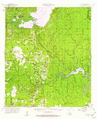
 - 1941 Map of Manifest, 1943 Print
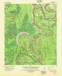
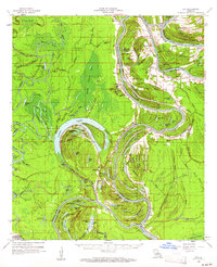
 1941 Manifest1943 Print · USGSCovers Catahoula Parish, including Jonesville, Trinity, and other nearby areas
 - 1941 Map of Sicily Island, 1943 Print
 1941 Sicily Island1943 Print · USGSCovers Catahoula Parish, including Wisner, Sicily Island, and other nearby areas2 unique versions available
 - 1941 Map of Jena, 1943 Print
 1941 Jena1943 Print · USGSCovers Catahoula Parish, including Jena, Magnolia, and other nearby areas
 - 1941 Map of Voorhies, 1943 Print
 1941 Voorhies1943 Print · USGSCovers Catahoula Parish, including Moreauville, Red Fish, and other nearby areas2 unique versions available
 - 1941 Map of Buckeye, 1944 Print
 1941 Buckeye1944 Print · USGSCovers Catahoula Parish, including Deville, Buckeye, and other nearby areas2 unique versions available
 - 1941 Map of Tooleys, 1946 Print
 1941 Tooleys1946 Print · USGSCovers Catahoula Parish, including Eva, Serena, and other nearby areas2 unique versions available
 - 1941 Map of Harrisonburg, 1946 Print
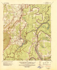
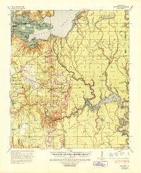
 1941 Harrisonburg1946 Print · USGSCovers Catahoula Parish, including Harrisonburg, Aimwell, and other nearby areas
 - 1953 Map of Alexandria, 1963 Print
 1953 Alexandria1963 Print · USGSCovers Catahoula Parish, including Alexandria, Natchitoches, and other nearby areas3 unique versions available
 - 1953 Map of Natchez, 1966 Print
 1953 Natchez1966 Print · USGSCovers Catahoula Parish, including Natchez, McComb, and other nearby areas3 unique versions available
 - 1955 Map of Alexandria
 1955 Alexandria1955 Print · USGSCovers Catahoula Parish, including Alexandria, Natchitoches, and other nearby areas
 - 1955 Map of Olla, 1956 Print
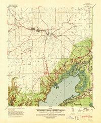
 1955 Olla1956 Print · USGSCovers Catahoula Parish, including Olla, Spaulding, and other nearby areas3 unique versions available
 - 1956 Map of Natchez
 1956 Natchez1956 Print · USGSCovers Catahoula Parish, including Natchez, McComb, and other nearby areas
 - 1957 Map of Sicily Island
 1957 Sicily Island1957 Print · USGSCovers Catahoula Parish, including Wisner, Sicily Island, and other nearby areas2 unique versions available
 - 1958 Map of Jena, 1959 Print
 1958 Jena1959 Print · USGSCovers Catahoula Parish, including Jena, Magnolia, and other nearby areas2 unique versions available
 - 1959 Map of Natchez
 1959 Natchez1959 Print · USGSCovers Catahoula Parish, including Natchez, McComb, and other nearby areas
 - 1959 Map of Buckeye, 1960 Print
 1959 Buckeye1960 Print · USGSCovers Catahoula Parish, including Deville, Buckeye, and other nearby areas2 unique versions available
 - 1959 Map of Harrisonburg, 1960 Print
 1959 Harrisonburg1960 Print · USGSCovers Catahoula Parish, including Harrisonburg, Aimwell, and other nearby areas3 unique versions available
 - 1960 Map of Jonesville, 1961 Print
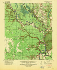
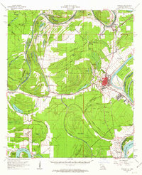
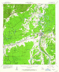 1960 Jonesville1961 Print · USGSCovers Catahoula Parish, including Jonesville, Trinity, and other nearby areas2 unique versions available
 - 1960 Map of Eva, 1961 Print
 1960 Eva1961 Print · USGSCovers Catahoula Parish, including Eva, Serena, and other nearby areas3 unique versions available
 - 1961 Map of Ferriday, 1962 Print
 1961 Ferriday1962 Print · USGSCovers Catahoula Parish, including Ferriday, Ridgecrest, and other nearby areas2 unique versions available
 - 1961 Map of Monterey, 1963 Print
 1961 Monterey1963 Print · USGSCovers Catahoula Parish, including Bougere, Fairview, and other nearby areas3 unique versions available
Showing maps 1-25 of 70
Top cities of Catahoula Parish
Frequently asked questions
- What are the different types of historical maps available for Catahoula Parish?
- What is the oldest map of Catahoula Parish?
- Where can I purchase historical maps of Catahoula Parish for my home or office?
- Where can I download high-res historical maps of Catahoula Parish?
- Are there historical topographic maps available for Catahoula Parish?
- Is there historical aerial imagery available for Catahoula Parish?
- Where are historical maps of Catahoula Parish sourced from?