2020s Maps of Claiborne Parish, Louisiana
Explore 46 historic maps of Claiborne Parish from the 2020s. These maps offer a rare glimpse into what life looked like during the 2020s — showing old roads, neighborhoods, homes, and landmarks that have changed or disappeared over time.
Whether you're researching your family's past, planning a metal detecting trip, or studying how Claiborne Parish's landscape evolved across the 2020s, these high-resolution maps are a powerful tool for exploring the history of this region.
- Focus on a specific era: All maps on this page are from the 2020s, giving you a focused view of this time period.
- See what’s changed: Compare century-old streets, trails, and buildings to today's modern landscape using overlays and satellite layers.
- Research with precision: Use these maps for genealogy, historical research, land use analysis, or educational projects.
- View, download, or print: Maps are fully viewable online in high resolution, and can be downloaded or printed for your own records.
Start exploring Claiborne Parish's history through authentic maps from the 2020s. This is your window into the past.
Claiborne Parish, LA maps
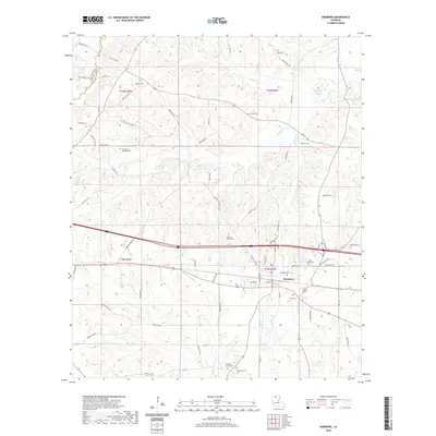
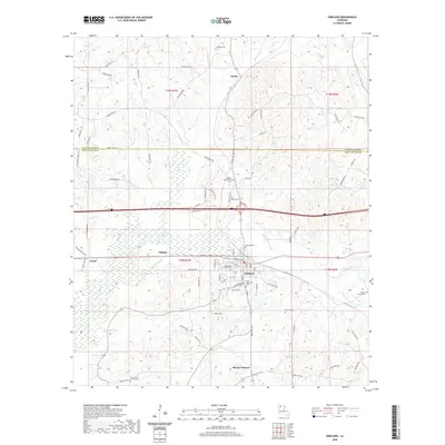
(46)- 2020 Map of Emerson, 2020 Print
 2020 Emerson2020 Print · USGSCovers Claiborne Parish, including Emerson, Forest Grove, and other nearby areas
 - 2020 Map of Emerson SE, 2020 Print
 2020 Emerson SE2020 Print · USGSCovers Claiborne Parish, including Atlanta, Ware, and other nearby areas
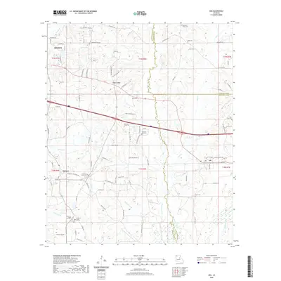
 - 2020 Map of Wesson SW, 2020 Print
 2020 Wesson SW2020 Print · USGSCovers Claiborne Parish, including Dodge City, New Hope, and other nearby areas
 - 2020 Map of Junction City, 2020 Print
 2020 Junction City2020 Print · USGSCovers Claiborne Parish, including Junction City, Junction City, and other nearby areas
 - 2020 Map of Wesson, 2020 Print
 2020 Wesson2020 Print · USGSCovers Claiborne Parish, including Wesson, Three Creeks, and other nearby areas
 - 2020 Map of Ada, 2020 Print
 2020 Ada2020 Print · USGSCovers Claiborne Parish, including Minden, Dubberly, and other nearby areas
 - 2020 Map of Simsboro, 2020 Print
 2020 Simsboro2020 Print · USGSCovers Claiborne Parish, including Simsboro, Lincoln Parish, and other nearby areas
 - 2020 Map of Colquitt, 2020 Print
 2020 Colquitt2020 Print · USGSCovers Claiborne Parish, including Colquitt, United States, and other nearby areas
 - 2020 Map of Lillie, 2020 Print
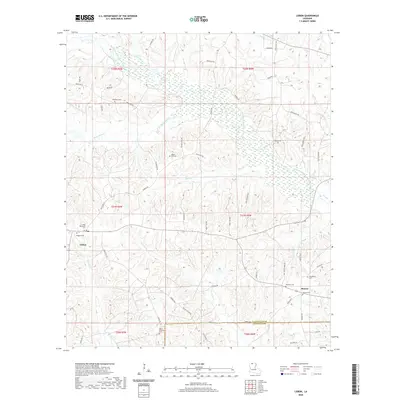
 2020 Lillie2020 Print · USGSCovers Claiborne Parish, including Junction City, Lillie, and other nearby areas
 - 2020 Map of Lisbon, 2020 Print
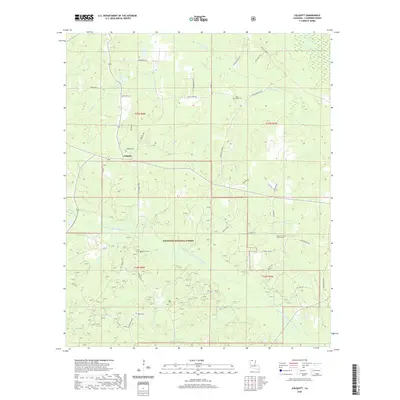
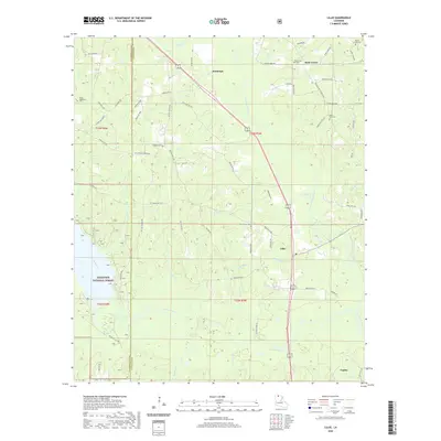
 2020 Lisbon2020 Print · USGSCovers Claiborne Parish, including Lisbon, Sharon, and other nearby areas
 - 2020 Map of Arcadia, 2020 Print
 2020 Arcadia2020 Print · USGSCovers Claiborne Parish, including Arcadia, Bridges Mill, and other nearby areas
 - 2020 Map of Haynesville West, 2020 Print
 2020 Haynesville West2020 Print · USGSCovers Claiborne Parish, including Haynesville, Norton Corner, and other nearby areas
 - 2020 Map of Marsalis, 2020 Print
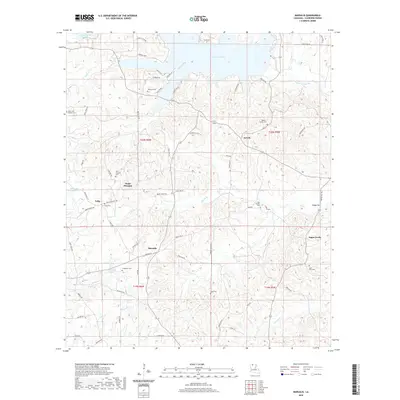 2020 Marsalis2020 Print · USGSCovers Claiborne Parish, including Marsalis, Aycock, and other nearby areas
 - 2020 Map of Bernice, 2020 Print
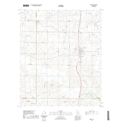 2020 Bernice2020 Print · USGSCovers Claiborne Parish, including Bernice, Weldon, and other nearby areas
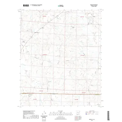
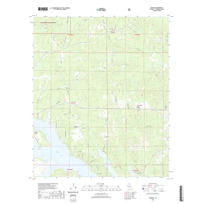
 - 2020 Map of Arizona, 2020 Print
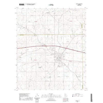
 2020 Arizona2020 Print · USGSCovers Claiborne Parish, including Lisbon, Forest Grove, and other nearby areas
 - 2020 Map of Athens, 2020 Print
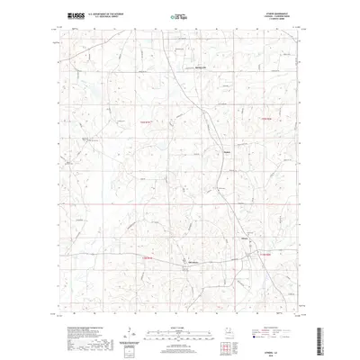 2020 Athens2020 Print · USGSCovers Claiborne Parish, including Athens, Mulnix, and other nearby areas
 - 2020 Map of Haynesville East, 2020 Print
 2020 Haynesville East2020 Print · USGSCovers Claiborne Parish, including Haynesville, Gordon, and other nearby areas
 - 2020 Map of Lake Foursome, 2020 Print
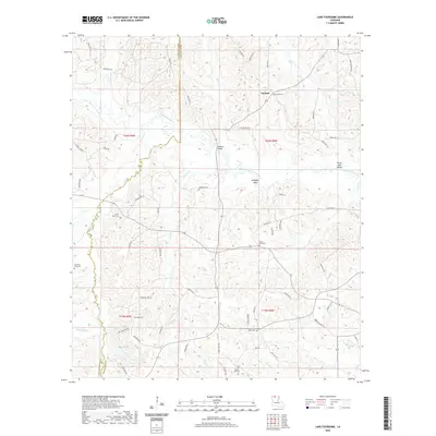 2020 Lake Foursome2020 Print · USGSCovers Claiborne Parish, including Crossroads, Corinth, and other nearby areas
 - 2020 Map of Gibsland, 2020 Print
 2020 Gibsland2020 Print · USGSCovers Claiborne Parish, including Gibsland, Mount Lebanon, and other nearby areas
 - 2020 Map of Summerfield, 2020 Print
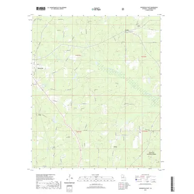
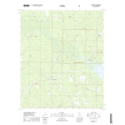 2020 Summerfield2020 Print · USGSCovers Claiborne Parish, including Summerfield, Hebron, and other nearby areas
 - 2020 Map of Blackburn, 2020 Print
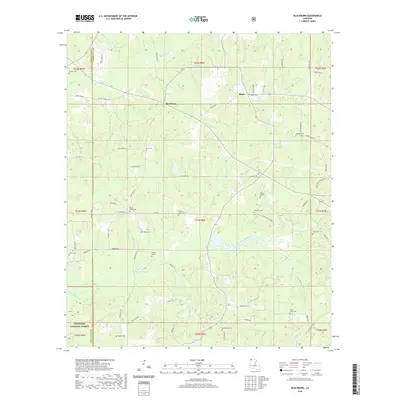 2020 Blackburn2020 Print · USGSCovers Claiborne Parish, including Ruple, Blackburn, and other nearby areas
 - 2020 Map of Homer, 2020 Print
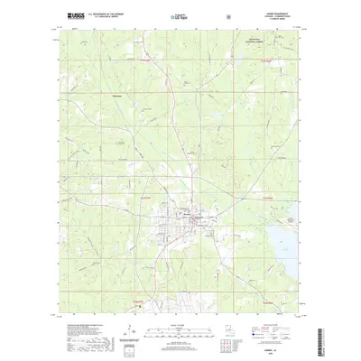 2020 Homer2020 Print · USGSCovers Claiborne Parish, including Homer, McKenzie, and other nearby areas
 - 2020 Map of Langston, 2020 Print
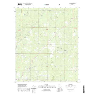 2020 Langston2020 Print · USGSCovers Claiborne Parish, including Minden, Holly Springs, and other nearby areas
 - 2024 Map of Junction City, 2024 Print
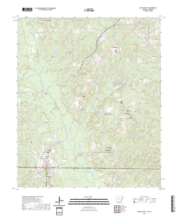 2024 Junction City2024 Print · USGSThe Arkansas-Louisiana border at Junction City is shown in detail during the early twenty-first century. Genealogists can locate numerous family burial sites across the landscape, including the Meek Family, Woolley Cem, and Morgan-Wade Cem.
 - 2024 Map of Wesson SW, 2024 Print
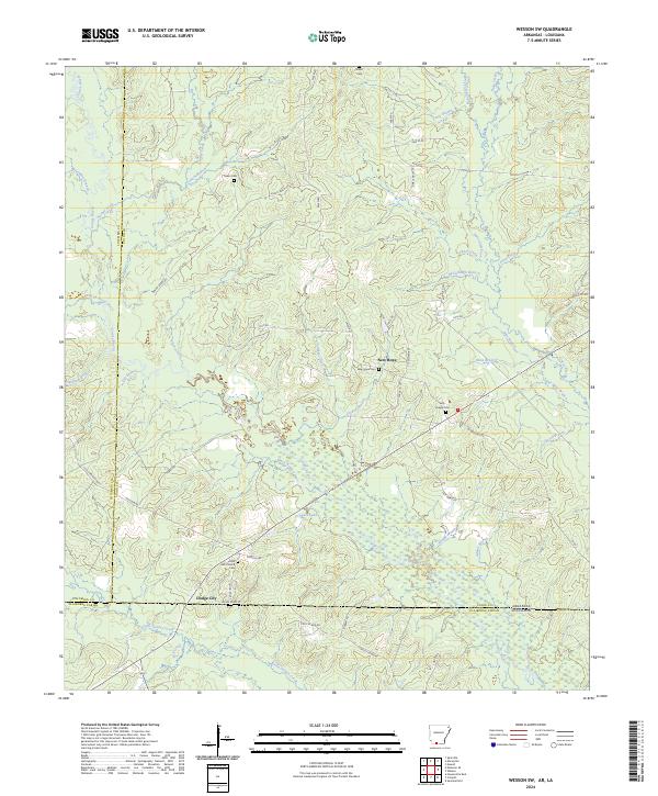 2024 Wesson SW2024 Print · USGSThe Arkansas-Louisiana borderlands come into focus in this detailed modern survey of Union and Columbia counties. Researchers can trace rural lineages through numerous landmarks like Shiloh Cem, Union ARC Church, and the settlement at Dodge City.
Showing maps 1-25 of 46
Top cities of Claiborne Parish
Frequently asked questions
- What are the different types of historical maps available for Claiborne Parish?
- What is the oldest map of Claiborne Parish?
- Where can I purchase historical maps of Claiborne Parish for my home or office?
- Where can I download high-res historical maps of Claiborne Parish?
- Are there historical topographic maps available for Claiborne Parish?
- Is there historical aerial imagery available for Claiborne Parish?
- Where are historical maps of Claiborne Parish sourced from?