2010s Maps of Claiborne Parish, Louisiana
Explore 69 historic maps of Claiborne Parish from the 2010s. These maps offer a rare glimpse into what life looked like during the 2010s — showing old roads, neighborhoods, homes, and landmarks that have changed or disappeared over time.
Whether you're researching your family's past, planning a metal detecting trip, or studying how Claiborne Parish's landscape evolved across the 2010s, these high-resolution maps are a powerful tool for exploring the history of this region.
- Focus on a specific era: All maps on this page are from the 2010s, giving you a focused view of this time period.
- See what’s changed: Compare century-old streets, trails, and buildings to today's modern landscape using overlays and satellite layers.
- Research with precision: Use these maps for genealogy, historical research, land use analysis, or educational projects.
- View, download, or print: Maps are fully viewable online in high resolution, and can be downloaded or printed for your own records.
Start exploring Claiborne Parish's history through authentic maps from the 2010s. This is your window into the past.
Claiborne Parish, LA maps
(69)- 2011 Map of Wesson, 2011 Print
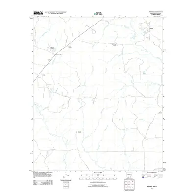 2011 Wesson2011 Print · USGSThe rural borderlands of Union County, Arkansas, are seen here just after the turn of the decade. Genealogists can trace family heritage across a remarkable concentration of burial sites, including Jones Cemetery, Masondia Cemetery, and Andrews Chapel Cemetery.
 - 2011 Map of Emerson SE, 2011 Print
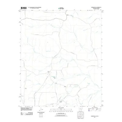 2011 Emerson SE2011 Print · USGSThe rural borderlands of Arkansas and Louisiana appear in this 2011 survey as a landscape of bayous and energy production. Researchers can trace family history at Chalybeate Springs Cemetery or locate the industrial borders of the East Haynesville Oil and Gas Field.
 - 2011 Map of Emerson, 2011 Print
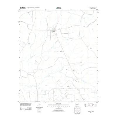 2011 Emerson2011 Print · USGSThe Arkansas-Louisiana borderlands in the early 21st century are defined by timber, water, and the enduring presence of the oil industry. Trace the rural landscape through family landmarks like Anderson Cemetery and the industrial corridors of the Horsehead Oil Field.
 - 2011 Map of Wesson SW, 2011 Print
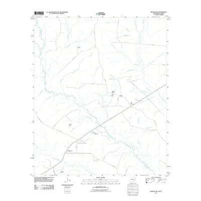 2011 Wesson SW2011 Print · USGSThe Arkansas-Louisiana borderlands come into focus in the early twenty-first century, showing a landscape shaped by petroleum and timber. Genealogists and historians can trace local family landmarks like Salem Cemetery or locate industrial sites such as the Tubal Oil and Gas Field.
 - 2011 Map of Junction City, 2011 Print
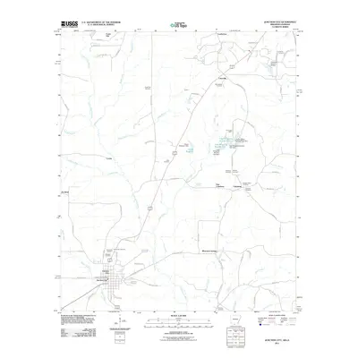 2011 Junction City2011 Print · USGSJunction City sits at the border of Arkansas and Louisiana in the early 2000s, where rural life is centered around bayous and timberlands. Genealogists and historians can trace numerous family burial sites like Cobb Cemetery, Wooley Cemetery, and Brantley Cemetery near the banks of Little Cornie Bayou.
 - 2012 Map of Arcadia, 2012 Print
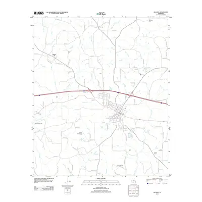 2012 Arcadia2012 Print · USGSArcadia and the surrounding Bienville Parish woodlands are captured here during the early twenty-first century. Researchers can trace rural settlement patterns and local lineage through landmarks like Bridges Mill, Fords, and the Givens-McGuire Cem.
 - 2012 Map of Colquitt, 2012 Print
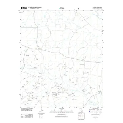 2012 Colquitt2012 Print · USGSLouisiana's Claiborne Parish is shown here during a period of active energy production and rural development. Researchers can trace family history through sites like Monk Cem and explore the footprint of industry at the Summerfield Oil Field and Mount Sinai Oil Field.
 - 2012 Map of Lillie, 2012 Print
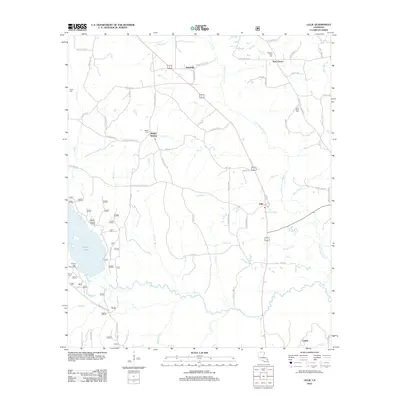 2012 Lillie2012 Print · USGSThe rural landscapes of northern Louisiana are captured here in the early twenty-first century, showing the small hamlets and bayous near the state line. Researchers can locate family landmarks like Pilgrims Rest Cem, Bethel Springs, and the waters of Corney Lake.
 - 2012 Map of Arizona, 2012 Print
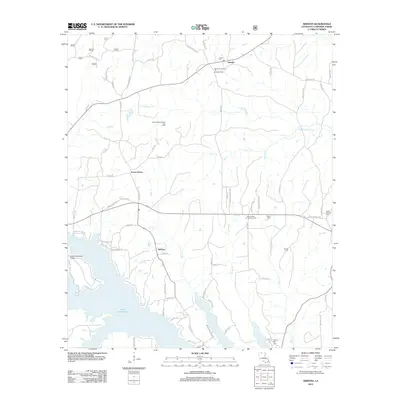 2012 Arizona2012 Print · USGSClaiborne Parish at the start of the 2010s shows a landscape of lakeside living and active energy production. Researchers can locate family landmarks like Aycock Cem and Liberty Hill Cem, or trace the rural roads connecting Forest Grove and Antioch.
 - 2012 Map of Summerfield, 2012 Print
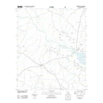 2012 Summerfield2012 Print · USGSNorth Louisiana's timber and energy heartland comes into focus in this study of Claiborne Parish settlements in 2012. Researchers can trace rural lineages through sites like Spring Hill Cemetery or explore the industrial footprint of the Lisbon Gas Field and Scottsville.
 - 2012 Map of Lisbon, 2012 Print
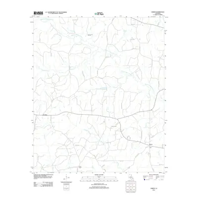 2012 Lisbon2012 Print · USGSLisbon and Sharon appear in this Louisiana survey as significant rural hubs during a period of active energy extraction. Researchers can locate the Mount Pleasant Cemetery, the Lisbon Oil Field, and the Post Office in Lisbon.
 - 2012 Map of Simsboro, 2012 Print
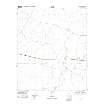 2012 Simsboro2012 Print · USGSSimsboro and its surrounding gas fields are captured in this 2012 survey during a period of modern energy production and rural development. Genealogists and local historians can trace family-named landmarks and cemeteries like Trussell Cem, Powell Cem, and Kings Gin Rd.
 - 2012 Map of Bernice, 2012 Print
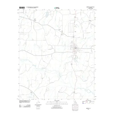 2012 Bernice2012 Print · USGSNorth Louisiana's timber and energy corridors are on full display in this early twenty-first-century survey of Union Parish. Researchers can trace rural lineages through numerous local landmarks, including the Alabama-Weldon Cemetery, Lynn Creek Gas Field, and the community of Bernice.
 - 2012 Map of Athens, 2012 Print
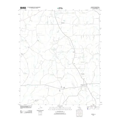 2012 Athens2012 Print · USGSLouisiana's Claiborne Parish reflects a deep-rooted rural character in the early 21st century, centered on the community of Athens. Local historians can trace family ties at the Upper Old Athens Cem or locate industrial sites like the Leatherman Creek Oil and Gas Field.
 - 2012 Map of Gibsland, 2012 Print
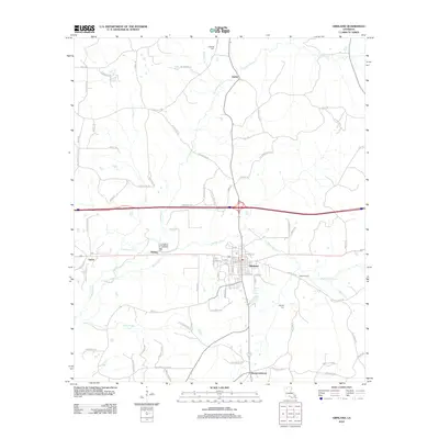 2012 Gibsland2012 Print · USGSGibsland and the surrounding Bienville Parish countryside are shown here in the early twenty-first century. Researchers can trace the rural legacy of the area through family burial grounds like Caldwell Cem and local landmarks at Mount Lebanon and Machens Spur.
 - 2012 Map of Ada, 2012 Print
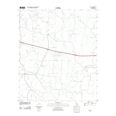 2012 Ada2012 Print · USGSNorth of Lake Bistineau in the 2010s, this Webster Parish landscape centers on the historic crossroads of Nine Forks and the village of Ada. Genealogists can trace deep local roots through a high density of rural burial sites, including Beck Cem and Fellowship Cem.
 - 2012 Map of Haynesville East, 2012 Print
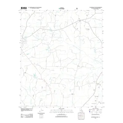 2012 Haynesville East2012 Print · USGSLouisiana's upland pine forests in Claiborne Parish are documented here just over a decade ago. Genealogists and local historians can trace family roots through several rural burial sites like Owen Cem and Hightower Cem or locate the historic Antlock Lookout Tower.
 - 2012 Map of Langston, 2012 Print
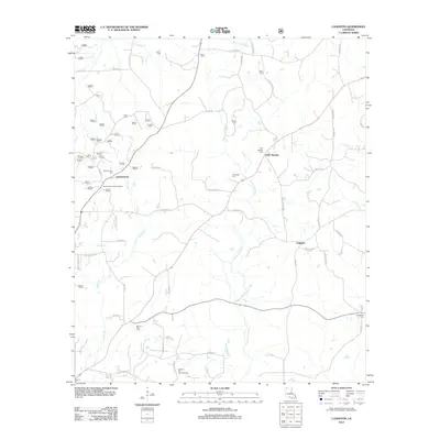 2012 Langston2012 Print · USGSWebster Parish in the early 2010s shows a landscape of timber, energy, and deep family roots. Genealogists and historians can trace numerous rural burial grounds like Mount Zion Cem and landmarks such as the Germantown Lookout Tower.
 - 2012 Map of Blackburn, 2012 Print
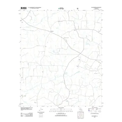 2012 Blackburn2012 Print · USGSNorth Louisiana's timber and energy corridors are captured here in the early twenty-first century. Genealogists and local historians can trace rural family sites through numerous landmarks like Gryder Cem, Blackburn Lookout Tower, and the East Blackburn Gas Field.
 - 2012 Map of Marsalis, 2012 Print
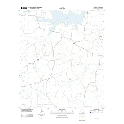 2012 Marsalis2012 Print · USGSClaiborne Parish at the start of the 2010s shows a landscape where timber and energy production meet the waters of Lake Claiborne. Genealogists can trace local roots through numerous family and community sites like Craighead Cem, Point Pleasant, and Tulip Cem.
 - 2012 Map of Haynesville West, 2012 Print
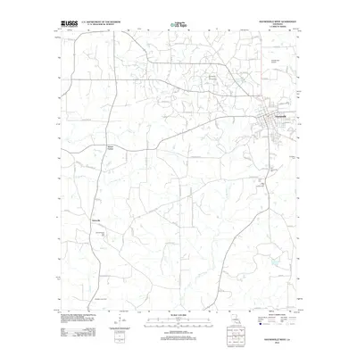 2012 Haynesville West2012 Print · USGSClaiborne Parish at the start of the 2010s reveals a landscape defined by its energy industry and deep-rooted rural communities. Genealogists and local historians can pinpoint family sites at the Old Haynesville Cem, Taylor Cem, and the small settlement of Norton Corner.
 - 2012 Map of Homer, 2012 Print
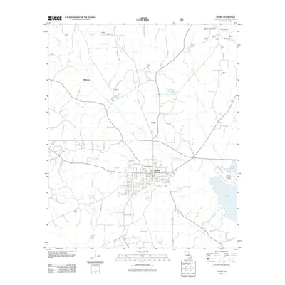 2012 Homer2012 Print · USGSHomer and Claiborne Parish are shown during a period of sustained energy production and rural development in the early twenty-first century. Genealogists and local historians can trace family burial sites at Arlington Cem or Sharon Cem and locate industrial landmarks like the North Homer Oil Field.
 - 2012 Map of Lake Foursome, 2012 Print
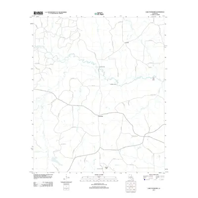 2012 Lake Foursome2012 Print · USGSLincoln Parish in the early twenty-first century is a landscape of creek bottoms and winding parish roads. Genealogists and local historians can trace family-named routes and small settlements like Crossroads, Liberty Hill, and the Terryville Gas Field.
 - 2014 Map of Emerson SE, 2014 Print
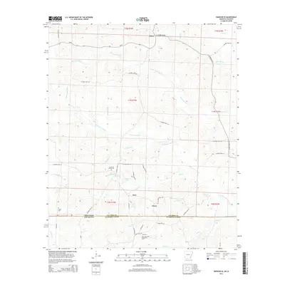 2014 Emerson SE2014 Print · USGSCrossing the state line into Louisiana at the start of the 2010s, this area reveals a landscape of oil extraction and rural crossroads. Genealogists can trace family connections at Chalybeate Springs Cem and Traylor Cem near the East Haynesville Oil and Gas Field.
 - 2014 Map of Junction City, 2014 Print
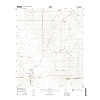 2014 Junction City2014 Print · USGSCrossing the Arkansas and Louisiana border in the early 21st century, this area reveals a network of rural settlements and cemeteries. Genealogists can trace family names at Ebenezer Cem and Smyrna Cem or explore the South El Dorado Oil Field.
Showing maps 1-25 of 69
Top cities of Claiborne Parish
Frequently asked questions
- What are the different types of historical maps available for Claiborne Parish?
- What is the oldest map of Claiborne Parish?
- Where can I purchase historical maps of Claiborne Parish for my home or office?
- Where can I download high-res historical maps of Claiborne Parish?
- Are there historical topographic maps available for Claiborne Parish?
- Is there historical aerial imagery available for Claiborne Parish?
- Where are historical maps of Claiborne Parish sourced from?