2000s (21st Century) Maps of Claiborne Parish, Louisiana
Explore 123 historic maps of Claiborne Parish from the 2000s (21st Century). These maps offer a rare glimpse into what life looked like during the 2000s — showing old roads, neighborhoods, homes, and landmarks that have changed or disappeared over time.
Whether you're researching your family's past, planning a metal detecting trip, or studying how Claiborne Parish's landscape evolved across the 2000s, these high-resolution maps are a powerful tool for exploring the history of this region.
- Focus on a specific era: All maps on this page are from the 2000s, giving you a focused view of this time period.
- See what’s changed: Compare century-old streets, trails, and buildings to today's modern landscape using overlays and satellite layers.
- Research with precision: Use these maps for genealogy, historical research, land use analysis, or educational projects.
- View, download, or print: Maps are fully viewable online in high resolution, and can be downloaded or printed for your own records.
Start exploring Claiborne Parish's history through authentic maps from the 2000s. This is your window into the past.
Claiborne Parish, LA maps
(123)- 2003 Map of Haynesville East, 2005 Print
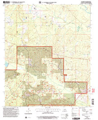
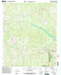 2003 Haynesville East2005 Print · USGSThe timberlands and oil fields of northern Louisiana come into focus at the turn of the millennium. Genealogists and historians can trace family-named landmarks and rural infrastructure near Haynesville, Gordon, and the winding Middle Fork Bayou D'Arbonne.
 - 2003 Map of Langston, 2005 Print
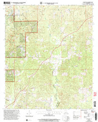 2003 Langston2005 Print · USGSClaiborne and Webster Parishes are shown in the early 2000s, where the Kisatchie National Forest meets the winding Black Lake Bayou. Researchers can trace the layout of Germantown, locate rural cemeteries, and identify old extraction sites like the local gravel pits.
 - 2003 Map of Lillie, 2005 Print
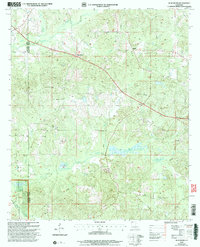
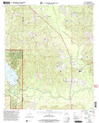 2003 Lillie2005 Print · USGSNorthern Union Parish at the start of the century reveals a landscape of timber, water, and rural settlements. Researchers can trace the shoreline of Corney Lake and locate community landmarks like Rum Center, Randolph, and several local Cemeteries.
 - 2003 Map of Summerfield, 2005 Print
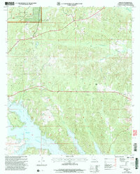
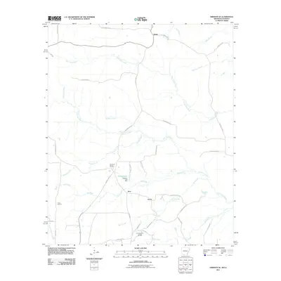
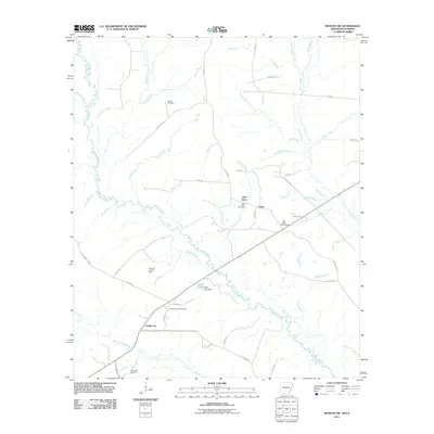
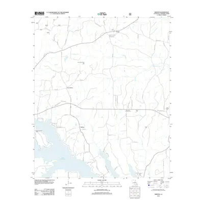
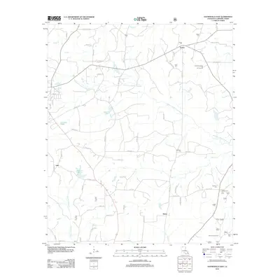
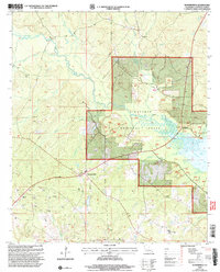 2003 Summerfield2005 Print · USGSClaiborne Parish at the turn of the twenty-first century shows a landscape where timber and energy production meet. Researchers can trace rural lineages at the PO in Summerfield or locate early drilling sites and cemeteries near Scottsville.
 - 2003 Map of Colquitt, 2005 Print
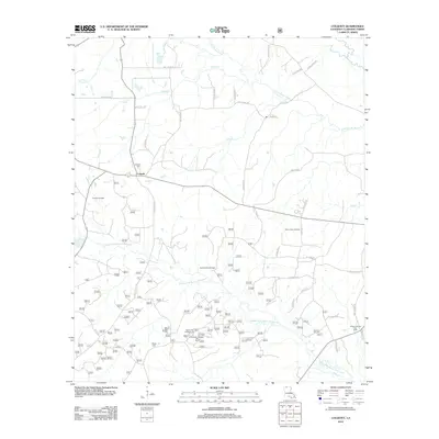
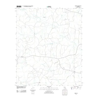
 2003 Colquitt2005 Print · USGSClaiborne Parish at the start of the twenty-first century shows a landscape where timber and industry meet. Researchers can trace the boundaries of the Kisatchie National Forest or locate early sites like Colquitt and local cemeteries.
 - 2003 Map of Blackburn, 2005 Print
 2003 Blackburn2005 Print · USGSThe borderlands of Claiborne and Webster Parish are captured here at the turn of the millennium, showing a landscape of pine forests and quiet rural crossroads. Researchers can locate family Cem sites and trace old industry markers like the Lookout Tower and Oil Field.
 - 2003 Map of Homer, 2005 Print
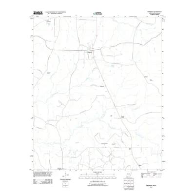
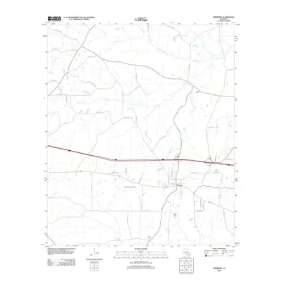
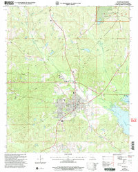 2003 Homer2005 Print · USGSHomer and the surrounding Claiborne Parish landscape are captured here in the early 2000s, showing a region defined by its timberlands and water. Genealogists and local historians can locate several rural Cem sites, trace the banks of Lake Claiborne, and find landmarks like McKenzie.
 - 2003 Map of Arizona, 2005 Print
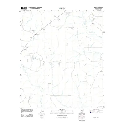
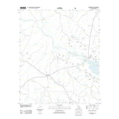
 2003 Arizona2005 Print · USGSClaiborne Parish at the opening of the 21st century reveals a landscape where timber and energy production meet the waters of Lake Claiborne. Trace rural settlements like Arizona and Lisbon alongside local landmarks like Antioch Cem.
 - 2011 Map of Wesson, 2011 Print
 2011 Wesson2011 Print · USGSCovers Claiborne Parish, including Wesson, Three Creeks, and other nearby areas
 - 2011 Map of Emerson SE, 2011 Print
 2011 Emerson SE2011 Print · USGSCovers Claiborne Parish, including Atlanta, Ware, and other nearby areas
 - 2011 Map of Emerson, 2011 Print
 2011 Emerson2011 Print · USGSCovers Claiborne Parish, including Emerson, Forest Grove, and other nearby areas
 - 2011 Map of Wesson SW, 2011 Print
 2011 Wesson SW2011 Print · USGSCovers Claiborne Parish, including Dodge City, New Hope, and other nearby areas
 - 2011 Map of Junction City, 2011 Print
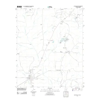 2011 Junction City2011 Print · USGSCovers Claiborne Parish, including Junction City, Junction City, and other nearby areas
 - 2012 Map of Arcadia, 2012 Print
 2012 Arcadia2012 Print · USGSCovers Claiborne Parish, including Arcadia, Bridges Mill, and other nearby areas
 - 2012 Map of Colquitt, 2012 Print
 2012 Colquitt2012 Print · USGSCovers Claiborne Parish, including Colquitt, United States, and other nearby areas
 - 2012 Map of Lillie, 2012 Print
 2012 Lillie2012 Print · USGSCovers Claiborne Parish, including Junction City, Lillie, and other nearby areas
 - 2012 Map of Arizona, 2012 Print
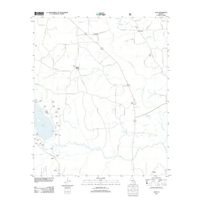
 2012 Arizona2012 Print · USGSCovers Claiborne Parish, including Lisbon, Forest Grove, and other nearby areas
 - 2012 Map of Summerfield, 2012 Print
 2012 Summerfield2012 Print · USGSCovers Claiborne Parish, including Summerfield, Hebron, and other nearby areas
 - 2012 Map of Lisbon, 2012 Print
 2012 Lisbon2012 Print · USGSCovers Claiborne Parish, including Lisbon, Sharon, and other nearby areas
 - 2012 Map of Simsboro, 2012 Print
 2012 Simsboro2012 Print · USGSCovers Claiborne Parish, including Simsboro, Lincoln Parish, and other nearby areas
 - 2012 Map of Bernice, 2012 Print
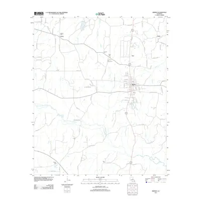 2012 Bernice2012 Print · USGSCovers Claiborne Parish, including Bernice, Weldon, and other nearby areas
 - 2012 Map of Athens, 2012 Print
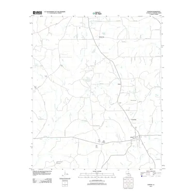 2012 Athens2012 Print · USGSCovers Claiborne Parish, including Athens, Mulnix, and other nearby areas
 - 2012 Map of Gibsland, 2012 Print
 2012 Gibsland2012 Print · USGSCovers Claiborne Parish, including Gibsland, Mount Lebanon, and other nearby areas
 - 2012 Map of Ada, 2012 Print
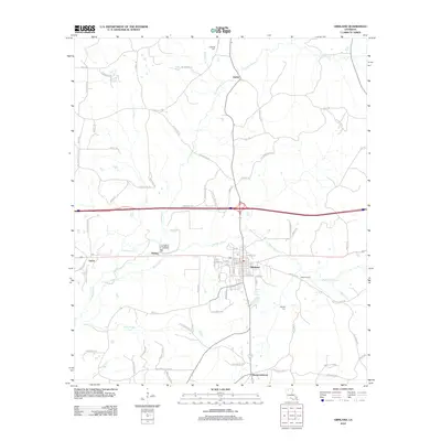
 2012 Ada2012 Print · USGSCovers Claiborne Parish, including Minden, Dubberly, and other nearby areas
 - 2012 Map of Haynesville East, 2012 Print
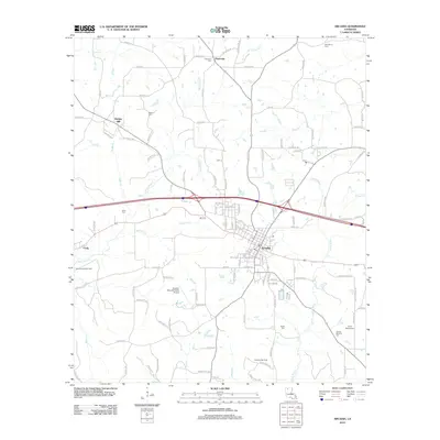
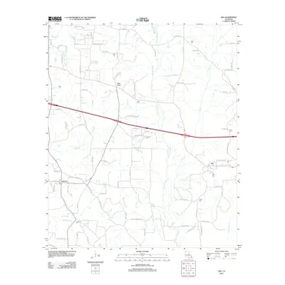
 2012 Haynesville East2012 Print · USGSCovers Claiborne Parish, including Haynesville, Gordon, and other nearby areas
Showing maps 1-25 of 123
Top cities of Claiborne Parish
Frequently asked questions
- What are the different types of historical maps available for Claiborne Parish?
- What is the oldest map of Claiborne Parish?
- Where can I purchase historical maps of Claiborne Parish for my home or office?
- Where can I download high-res historical maps of Claiborne Parish?
- Are there historical topographic maps available for Claiborne Parish?
- Is there historical aerial imagery available for Claiborne Parish?
- Where are historical maps of Claiborne Parish sourced from?