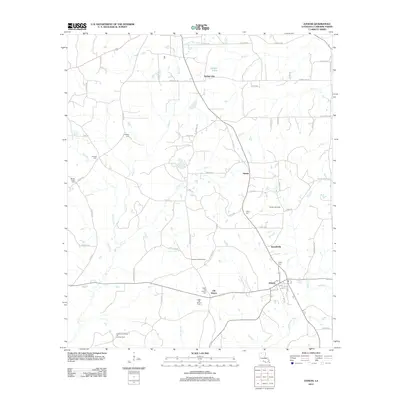
2012 Map of Athens
USGS Topo · Published 2012About this map
Athens and its historic predecessor Old Athens anchor this portrait of Claiborne Parish, where the geography is defined by a dense network of creek drainages and timberlands. The landscape reveals a transition between old settlement patterns and modern industrial use, evidenced by the proximity of the Athens Lookout Tower to active energy sites like the Athens Gas Field and Leatherman Creek Oil and Gas Field. Genealogists will find a high concentration of burial sites, including the Upper and Lower Old Athens Cem, as well as rural family-named grounds like Cooksley Cem and Kimbell Cem. The area’s hydrology is dominated by the winding paths of Brush, Isaac, and Clear creeks, which flow through a countryside punctuated by small community hubs such as Russellville and Mulnix.
Find a feature on this map
72 named features on this map. Tap any name to fly to it.
Don’t see what you’re looking for? This feature index may not catch every label — zoom into the map to look around manually.
Map Details
Editions of this 2012 Athens Map
This is the sole edition of this map. No revisions or reprints were ever made.
Other maps of this area

1949 · Gibsland
USGS Topo · 1:62,500

1950 · Gibsland
USGS Topo · 1:62,500

1950 · Arcadia
USGS Topo · 1:62,500

1951 · Arcadia
USGS Topo · 1:62,500

1951 · Summerfield
USGS Topo · 1:62,500

1952 · Homer
USGS Topo · 1:62,500

1955 · Shreveport
USGS Topo · 1:250,000

1956 · Shreveport
USGS Topo · 1:250,000

1984 · Shreveport
USGS Topo · 1:250,000

1985 · Monroe North
USGS Topo · 1:100,000