2000s (21st Century) Maps of Delcambre, Louisiana
Explore 10 historic maps of Delcambre from the 2000s (21st Century). These maps offer a rare glimpse into what life looked like during the 2000s — showing old roads, neighborhoods, homes, and landmarks that have changed or disappeared over time.
Whether you're researching your family's past, planning a metal detecting trip, or studying how Delcambre's landscape evolved across the 2000s, these high-resolution maps are a powerful tool for exploring the history of this region.
- Focus on a specific era: All maps on this page are from the 2000s, giving you a focused view of this time period.
- See what’s changed: Compare century-old streets, trails, and buildings to today's modern landscape using overlays and satellite layers.
- Research with precision: Use these maps for genealogy, historical research, land use analysis, or educational projects.
- View, download, or print: Maps are fully viewable online in high resolution, and can be downloaded or printed for your own records.
Start exploring Delcambre's history through authentic maps from the 2000s. This is your window into the past.
Delcambre, LA maps
(10)- 2012 Map of Abbeville East, 2012 Print
 2012 Abbeville East2012 Print · USGSCovers Delcambre, including Abbeville, Erath, and other nearby areas
 - 2012 Map of Delcambre, 2012 Print
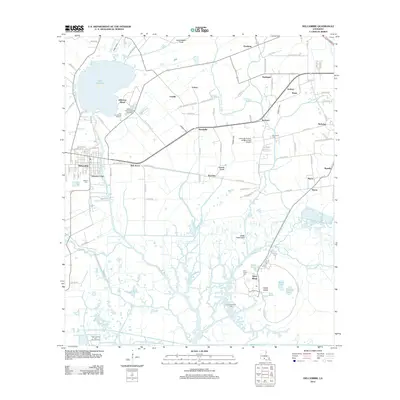 2012 Delcambre2012 Print · USGSCovers Delcambre, including Derouen, Emma, and other nearby areas
 - 2015 Map of Abbeville East, 2015 Print
 2015 Abbeville East2015 Print · USGSCovers Delcambre, including Abbeville, Erath, and other nearby areas
 - 2015 Map of Delcambre, 2015 Print
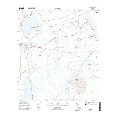 2015 Delcambre2015 Print · USGSCovers Delcambre, including Derouen, Emma, and other nearby areas
 - 2018 Map of Abbeville East, 2018 Print
 2018 Abbeville East2018 Print · USGSCovers Delcambre, including Abbeville, Erath, and other nearby areas
 - 2018 Map of Delcambre, 2018 Print
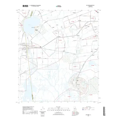 2018 Delcambre2018 Print · USGSCovers Delcambre, including Derouen, Emma, and other nearby areas
 - 2020 Map of Delcambre, 2020 Print
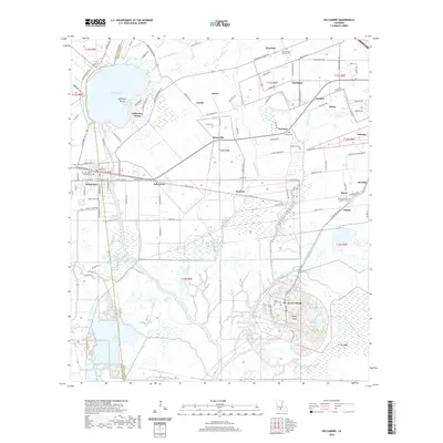 2020 Delcambre2020 Print · USGSCovers Delcambre, including Derouen, Emma, and other nearby areas
 - 2020 Map of Abbeville East, 2020 Print
 2020 Abbeville East2020 Print · USGSCovers Delcambre, including Abbeville, Erath, and other nearby areas
 - 2024 Map of Delcambre, 2024 Print
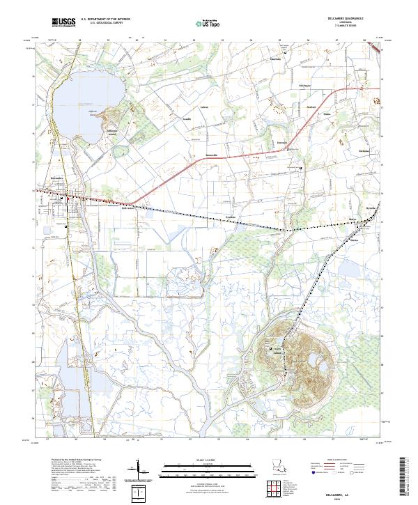 2024 Delcambre2024 Print · USGSCoastal Louisiana at the edge of Iberia and Vermilion parishes shows a landscape of salt domes and bayous. Researchers can locate family burial grounds like Landry Cem and trace the rail-and-water corridors of Delcambre and Avery Island.
 - 2024 Map of Abbeville East, 2024 Print
 2024 Abbeville East2024 Print · USGSVermilion Parish comes into focus at the start of the 2020s, showing the reach of Abbeville toward the communities of Erath and Delcambre. Family historians can locate numerous burial sites like Trahan Cem and Landry Cem alongside the winding Vermilion River.
End of results
Showing maps 1-10 of 10
Top cities near Delcambre
- Lafayette historical maps
- New Iberia historical maps
- Abbeville historical maps
- Youngsville historical maps
- Erath historical maps
- Maurice historical maps
Top neighborhoods of Delcambre
Frequently asked questions
- What are the different types of historical maps available for Delcambre?
- What is the oldest map of Delcambre?
- Where can I purchase historical maps of Delcambre for my home or office?
- Where can I download high-res historical maps of Delcambre?
- Are there historical topographic maps available for Delcambre?
- Is there historical aerial imagery available for Delcambre?
- Where are historical maps of Delcambre sourced from?