2000s (21st Century) Maps of Evergreen Hills, Central
Explore 6 historic maps of Evergreen Hills from the 2000s (21st Century). These maps offer a rare glimpse into what life looked like during the 2000s — showing old roads, neighborhoods, homes, and landmarks that have changed or disappeared over time.
Whether you're researching your family's past, planning a metal detecting trip, or studying how Evergreen Hills's landscape evolved across the 2000s, these high-resolution maps are a powerful tool for exploring the history of this region.
- Focus on a specific era: All maps on this page are from the 2000s, giving you a focused view of this time period.
- See what’s changed: Compare century-old streets, trails, and buildings to today's modern landscape using overlays and satellite layers.
- Research with precision: Use these maps for genealogy, historical research, land use analysis, or educational projects.
- View, download, or print: Maps are fully viewable online in high resolution, and can be downloaded or printed for your own records.
Start exploring Evergreen Hills's history through authentic maps from the 2000s. This is your window into the past.
Evergreen Hills, Central maps
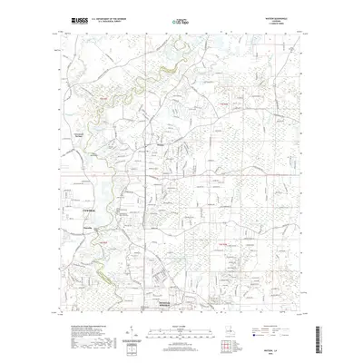
(6)- 2005 Map of Watson, 2006 Print
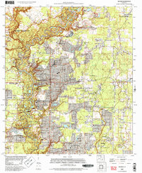 2005 Watson2006 Print · USGSLouisiana's river parish landscape comes alive in the mid-2000s, showing the growth of Greenwell Springs and Bellingrath. Researchers can trace local lineage through several sites like New Bethlehem or find landmarks like the Watson Oil Field.
 - 2012 Map of Watson, 2012 Print
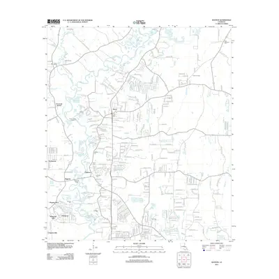 2012 Watson2012 Print · USGSCovers Evergreen Hills, including Central, Denham Springs, and other nearby areas
 - 2015 Map of Watson, 2015 Print
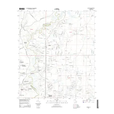 2015 Watson2015 Print · USGSCovers Evergreen Hills, including Central, Denham Springs, and other nearby areas
 - 2018 Map of Watson, 2018 Print
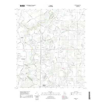 2018 Watson2018 Print · USGSCovers Evergreen Hills, including Central, Denham Springs, and other nearby areas
 - 2020 Map of Watson, 2020 Print
 2020 Watson2020 Print · USGSCovers Evergreen Hills, including Central, Denham Springs, and other nearby areas
 - 2024 Map of Watson, 2024 Print
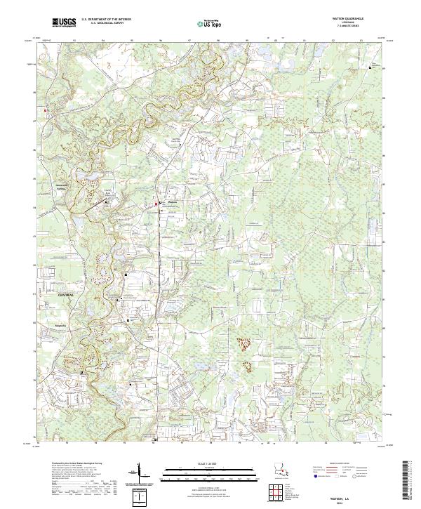 2024 Watson2024 Print · USGSThe borderlands of the Amite River come into focus in this contemporary study of these Louisiana parishes. Genealogists can trace decades of local history through numerous named burial sites, from the Womack Cem to the Denham Springs Memorial Cem.
End of results
Showing maps 1-6 of 6
Top cities near Evergreen Hills
- Baton Rouge historical maps
- Saint George historical maps
- St. George historical maps
- Prairieville historical maps
- Central historical maps
- Baker historical maps
See more
Frequently asked questions
- What are the different types of historical maps available for Evergreen Hills?
- What is the oldest map of Evergreen Hills?
- Where can I purchase historical maps of Evergreen Hills for my home or office?
- Where can I download high-res historical maps of Evergreen Hills?
- Are there historical topographic maps available for Evergreen Hills?
- Is there historical aerial imagery available for Evergreen Hills?
- Where are historical maps of Evergreen Hills sourced from?