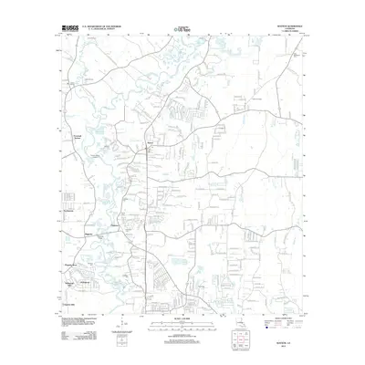
2012 Map of Watson
USGS Topo · Published 2012About this map
The Amite River meanders through this portion of East Baton Rouge Parish, creating a complex landscape of bayous and low-lying settlements. Development is concentrated around Watson and Greenwell Springs, where suburban growth meets the rural tradition of family cemeteries and local landmarks. Genealogists will find an exceptional concentration of burial sites, including Newsom Cem, Live Oak Cem, and New Bethlehem Cem near the eastern edge.
Find a feature on this map
262 named features on this map. Tap any name to fly to it.
Don’t see what you’re looking for? This feature index may not catch every label — zoom into the map to look around manually.
Map Details
Editions of this 2012 Watson Map
This is the sole edition of this map. No revisions or reprints were ever made.
Other maps of this area

1906 · Bayou Sara
USGS Topo · 1:125,000

1908 · Baton Rouge
USGS Topo · 1:62,500

1934 · Denham Springs
USGS Topo · 1:62,500

1939 · Zachary
USGS Topo · 1:62,500

1939 · Denham Springs
USGS Topo · 1:62,500

1939 · Baton Rouge
USGS Topo · 1:62,500

1942 · Pine Grove
USGS Topo · 1:31,680

1942 · Pride
USGS Topo · 1:31,680

1942 · Watson
USGS Topo · 1:31,680

1942 · Satsuma
USGS Topo · 1:31,680