Old Maps of Greenfield, Louisiana for Metal Detecting
Plan your next treasure hunt with 15 historic maps of Greenfield. Find old homesites, ghost towns, trails, and gathering spots that may be lost to time — perfect for identifying promising metal detecting locations.
- Locate forgotten sites: Uncover places like long-lost settlements, abandoned rail lines, or gathering spots.
- Plan better hunts: Use map overlays combined with LiDAR or satellite views to narrow in on historically rich areas.
- Made for detectorists: Thousands of hobbyists use these maps to discover relics, coins, and hidden history.
Use these historic maps to boost your research and find new opportunities beneath the surface of Greenfield.
Greenfield, LA maps
(15)- 1909 Map of Lake Providence
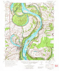
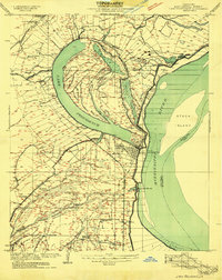 1909 Lake Providence1909 Print · USGSEast Carroll Parish at the turn of the century shows a landscape of expansive plantations and river commerce centered on the great oxbow. Genealogists and historians can locate family estates like Way Way Plantation or trace community roots at Good Hope Church and Watersheta School.2 unique versions available
 - 1911 Map of Lake Providence
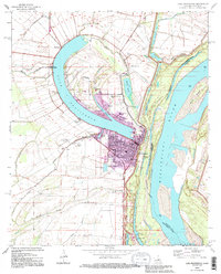
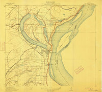 1911 Lake Providence1911 Print · USGSLouisiana's Mississippi River delta region comes into sharp focus during the early 1910s, centered on the strategic oxbow lake at the parish seat. Genealogists and historians can trace family landholdings at Belle Mead Plantation or locate local landmarks like Winterfield School and Cane Ridge Church.2 unique versions available
 - 1939 Map of Mayersville, 1964 Print
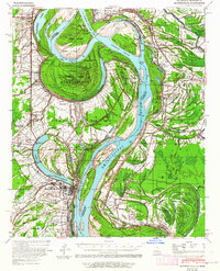 1939 Mayersville1964 Print · USGSThe Mississippi River meanders between Louisiana and Mississippi in the late 1930s, showing a landscape defined by dramatic cut-offs and levee engineering. Genealogists and researchers can locate landmarks like Rose Hall, the Indian Mound, and rural congregations at Mt Olive Ch.
 - 1955 Map of Jackson
 1955 Jackson1955 Print · USGSThe Lower Mississippi Valley at the middle of the century reveals a landscape of deep river meanders and growing rail hubs. Genealogists and historians can trace the mid-century footprints of Vicksburg National Military Park, old river landings at Port Gibson, and the rail corridors of the Illinois Central Railroad.3 unique versions available
 - 1961 Map of Jackson
 1961 Jackson1961 Print · USGSThe Lower Mississippi Delta and the state capital area are captured here during the post-war era of infrastructure expansion. Researchers can trace the complex river oxbows and rail lines connecting Vicksburg, Yazoo City, and the Illinois Central Railroad network.
 - 1962 Map of Jackson
 1962 Jackson1962 Print · USGSThe Mississippi Delta and the state capital region are mapped here in the early sixties, showing a landscape defined by the great river and the growing city of JACKSON. Genealogists can trace family roots through numerous landmarks like Cedar Hill Cem, rural stops on the Illinois Central RR, and historic sites like Champion Hill.2 unique versions available
 - 1970 Map of Lake Providence, 1972 Print
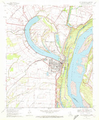 1970 Lake Providence1972 Print · USGSThe Louisiana-Mississippi borderlands around the 1970s show a river economy in transition, where the great oxbow of Lake Providence shelters the parish seat. Local historians can trace family roots through numerous landmarks like China Grove Ch Cem, Briarfield Academy, and Stack Island.
 - 1972 Map of Lake Providence
 1972 Lake Providence1972 Print · USGSThe Mississippi River delta in the early 1970s reveals a landscape of complex oxbows and river engineering between Louisiana and Mississippi. Genealogists can locate family landmarks like Old St Paul Cem, Briarfield Academy, and the Missouri Pacific rail line.
 - 1982 Map of Bastrop, 1983 Print
 1982 Bastrop1983 Print · USGSNortheastern Louisiana and the Mississippi River Delta are captured here in the early eighties as a landscape of bayous and river towns. Genealogists and historians can trace small communities like Mer Rouge and Oak Grove or the ancient terrain of Poverty Point State Park.
 - 1994 Map of Lake Providence, 1995 Print
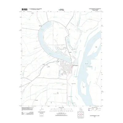
 1994 Lake Providence1995 Print · USGSLake Providence sits at a great Mississippi River oxbow in the mid-1990s, where the town grid meets the alluvial basin. Genealogists can trace family landmarks like Providence Memorial Park and historic congregations such as St Mary Ch.
 - 2012 Map of Lake Providence, 2012 Print
 2012 Lake Providence2012 Print · USGSCovers Greenfield, including Lake Providence, Highland, and other nearby areas
 - 2015 Map of Lake Providence, 2015 Print
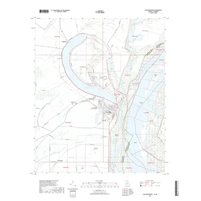
 2015 Lake Providence2015 Print · USGSCovers Greenfield, including Lake Providence, Highland, and other nearby areas
 - 2018 Map of Lake Providence, 2018 Print
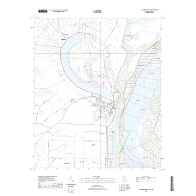
 2018 Lake Providence2018 Print · USGSCovers Greenfield, including Lake Providence, Highland, and other nearby areas
 - 2020 Map of Lake Providence, 2020 Print
 2020 Lake Providence2020 Print · USGSCovers Greenfield, including Lake Providence, Highland, and other nearby areas
 - 2024 Map of Lake Providence, 2024 Print
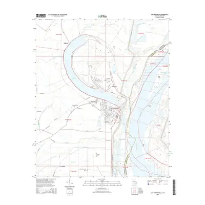
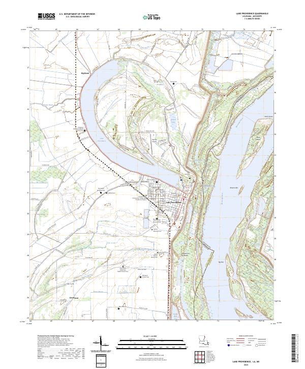 2024 Lake Providence2024 Print · USGSThe oxbow waters and fertile delta lands of East Carroll Parish come to life in this contemporary survey of the Louisiana-Mississippi border. Genealogists can locate several family burial grounds, including Tyrone Cem, Gailliard Cem, and the Old Sweet Canaan Cem.
End of results
Showing maps 1-15 of 15
Top cities near Greenfield
- Lake Providence historical maps
- Oak Grove historical maps
- Mayersville historical maps
- Forest historical maps
- Pioneer historical maps
Frequently asked questions
- What are the different types of historical maps available for Greenfield?
- What is the oldest map of Greenfield?
- Where can I purchase historical maps of Greenfield for my home or office?
- Where can I download high-res historical maps of Greenfield?
- Are there historical topographic maps available for Greenfield?
- Is there historical aerial imagery available for Greenfield?
- Where are historical maps of Greenfield sourced from?