2020s Maps of Morehouse Parish, Louisiana
Explore 50 historic maps of Morehouse Parish from the 2020s. These maps offer a rare glimpse into what life looked like during the 2020s — showing old roads, neighborhoods, homes, and landmarks that have changed or disappeared over time.
Whether you're researching your family's past, planning a metal detecting trip, or studying how Morehouse Parish's landscape evolved across the 2020s, these high-resolution maps are a powerful tool for exploring the history of this region.
- Focus on a specific era: All maps on this page are from the 2020s, giving you a focused view of this time period.
- See what’s changed: Compare century-old streets, trails, and buildings to today's modern landscape using overlays and satellite layers.
- Research with precision: Use these maps for genealogy, historical research, land use analysis, or educational projects.
- View, download, or print: Maps are fully viewable online in high resolution, and can be downloaded or printed for your own records.
Start exploring Morehouse Parish's history through authentic maps from the 2020s. This is your window into the past.
Morehouse Parish, LA maps
(50)- 2020 Map of Crossett South, 2020 Print
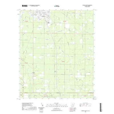 2020 Crossett South2020 Print · USGSCovers Morehouse Parish, including Crossett, Meridian, and other nearby areas
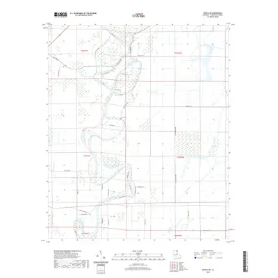
 - 2020 Map of Empire, 2020 Print
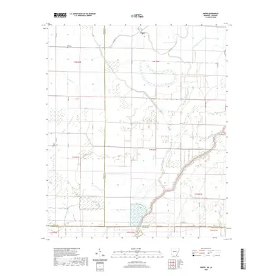 2020 Empire2020 Print · USGSCovers Morehouse Parish, including Millers Chapel, Empire, and other nearby areas
 - 2020 Map of Berlin, 2020 Print
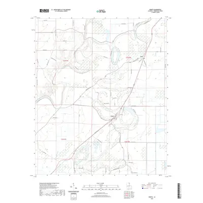
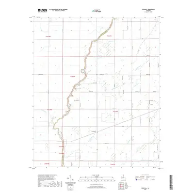
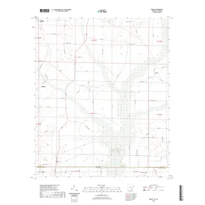 2020 Berlin2020 Print · USGSCovers Morehouse Parish, including Geddie, Gulledge, and other nearby areas
 - 2020 Map of Wilmot SW, 2020 Print
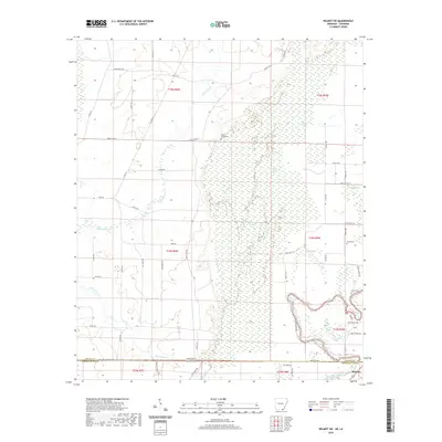 2020 Wilmot SW2020 Print · USGSCovers Morehouse Parish, including McGinty, Ashley County, and other nearby areas
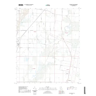
 - 2020 Map of Felsenthal Dam, 2020 Print
 2020 Felsenthal Dam2020 Print · USGSCovers Morehouse Parish, including Venice, Sulphur Springs, and other nearby areas
 - 2020 Map of Wilmot, 2020 Print
 2020 Wilmot2020 Print · USGSCovers Morehouse Parish, including Wilmot, Parkdale, and other nearby areas
 - 2020 Map of Laark, 2020 Print
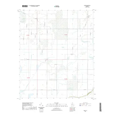 2020 Laark2020 Print · USGSCovers Morehouse Parish, including Laark, West Carroll Parish, and other nearby areas
 - 2020 Map of Fish Lake, 2020 Print
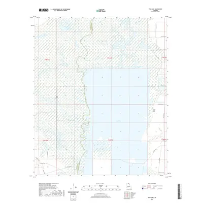 2020 Fish Lake2020 Print · USGSCovers Morehouse Parish, including Thirteen Points Landing, Brantley Landing, and other nearby areas
 - 2020 Map of Twin Oaks, 2020 Print
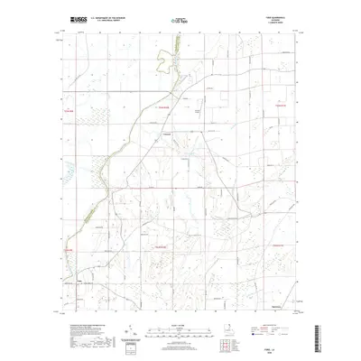
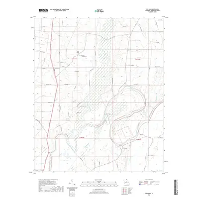 2020 Twin Oaks2020 Print · USGSCovers Morehouse Parish, including Twin Oaks, United States, and other nearby areas
 - 2020 Map of Harrell Lake, 2020 Print
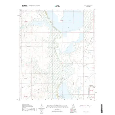 2020 Harrell Lake2020 Print · USGSCovers Morehouse Parish, including Alabama Landing, Hooker Hole, and other nearby areas
 - 2020 Map of Bonita SW, 2020 Print
 2020 Bonita SW2020 Print · USGSCovers Morehouse Parish, including United States, Louisiana, and other nearby areas
 - 2020 Map of Collinston East, 2020 Print
 2020 Collinston East2020 Print · USGSCovers Morehouse Parish, including Collinston, Oak Ridge, and other nearby areas
 - 2020 Map of Bonita, 2020 Print
 2020 Bonita2020 Print · USGSCovers Morehouse Parish, including Bonita, New Landgrove Landing, and other nearby areas
 - 2020 Map of Bastrop, 2020 Print
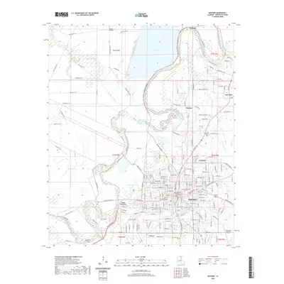 2020 Bastrop2020 Print · USGSCovers Morehouse Parish, including Bastrop, Sheltons, and other nearby areas
 - 2020 Map of Swartz, 2020 Print
 2020 Swartz2020 Print · USGSCovers Morehouse Parish, including Monroe, Swartz, and other nearby areas
 - 2020 Map of Whitney Island South, 2020 Print
 2020 Whitney Island South2020 Print · USGSCovers Morehouse Parish, including Richland Parish, United States, and other nearby areas
 - 2020 Map of Mer Rouge, 2020 Print
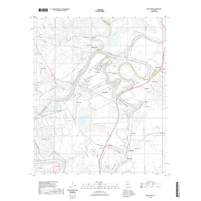
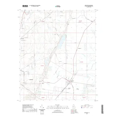 2020 Mer Rouge2020 Print · USGSCovers Morehouse Parish, including Bastrop, Mer Rouge, and other nearby areas
 - 2020 Map of Collinston West, 2020 Print
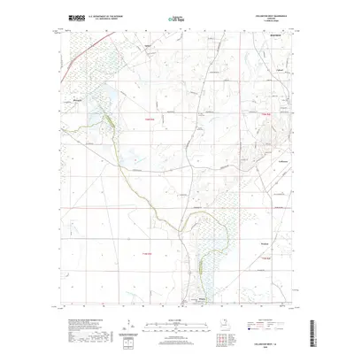 2020 Collinston West2020 Print · USGSCovers Morehouse Parish, including Bastrop, Collinston, and other nearby areas
 - 2020 Map of Bear Skin, 2020 Print
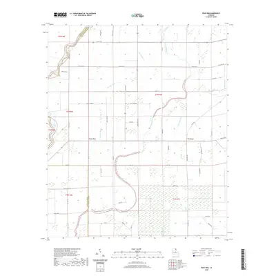 2020 Bear Skin2020 Print · USGSCovers Morehouse Parish, including Newhope, Bear Skin, and other nearby areas
 - 2020 Map of Beekman, 2020 Print
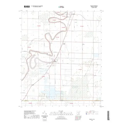
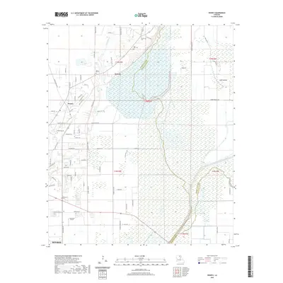
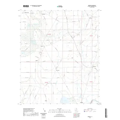 2020 Beekman2020 Print · USGSCovers Morehouse Parish, including Beekman, Rogers, and other nearby areas
 - 2020 Map of Fiske, 2020 Print
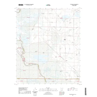
 2020 Fiske2020 Print · USGSCovers Morehouse Parish, including Oak Grove, Concord, and other nearby areas
 - 2020 Map of Sterlington, 2020 Print
 2020 Sterlington2020 Print · USGSCovers Morehouse Parish, including Sterlington, West Sterlington, and other nearby areas
 - 2020 Map of Goodwill, 2020 Print
 2020 Goodwill2020 Print · USGSCovers Morehouse Parish, including Goodwill, Twin Bridges, and other nearby areas
 - 2020 Map of Whitney Island North, 2020 Print
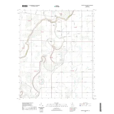
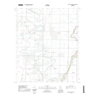 2020 Whitney Island North2020 Print · USGSCovers Morehouse Parish, including Richland Parish, West Carroll Parish, and other nearby areas
 - 2020 Map of Irwin Lake, 2020 Print
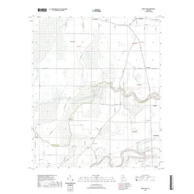 2020 Irwin Lake2020 Print · USGSCovers Morehouse Parish, including Oak Ridge, Bardel, and other nearby areas
Showing maps 1-25 of 50
Top cities of Morehouse Parish
- Bastrop historical maps
- Mer Rouge historical maps
- Bonita historical maps
- Collinston historical maps
- Oak Ridge historical maps
Frequently asked questions
- What are the different types of historical maps available for Morehouse Parish?
- What is the oldest map of Morehouse Parish?
- Where can I purchase historical maps of Morehouse Parish for my home or office?
- Where can I download high-res historical maps of Morehouse Parish?
- Are there historical topographic maps available for Morehouse Parish?
- Is there historical aerial imagery available for Morehouse Parish?
- Where are historical maps of Morehouse Parish sourced from?