2010s Maps of Morehouse Parish, Louisiana
Explore 75 historic maps of Morehouse Parish from the 2010s. These maps offer a rare glimpse into what life looked like during the 2010s — showing old roads, neighborhoods, homes, and landmarks that have changed or disappeared over time.
Whether you're researching your family's past, planning a metal detecting trip, or studying how Morehouse Parish's landscape evolved across the 2010s, these high-resolution maps are a powerful tool for exploring the history of this region.
- Focus on a specific era: All maps on this page are from the 2010s, giving you a focused view of this time period.
- See what’s changed: Compare century-old streets, trails, and buildings to today's modern landscape using overlays and satellite layers.
- Research with precision: Use these maps for genealogy, historical research, land use analysis, or educational projects.
- View, download, or print: Maps are fully viewable online in high resolution, and can be downloaded or printed for your own records.
Start exploring Morehouse Parish's history through authentic maps from the 2010s. This is your window into the past.
Morehouse Parish, LA maps
(75)- 2011 Map of Felsenthal Dam, 2011 Print
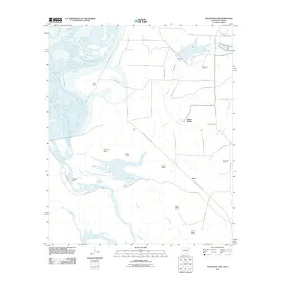 2011 Felsenthal Dam2011 Print · USGSThe southern Arkansas wetlands and the winding Ouachita River valley are captured here just after the first decade of the millennium. Researchers can trace local heritage through sites like the Macedonian Cemetery or explore the rail history found at C D Siding and the Missouri Pacific RR Tram Rd.
 - 2011 Map of Wilmot, 2011 Print
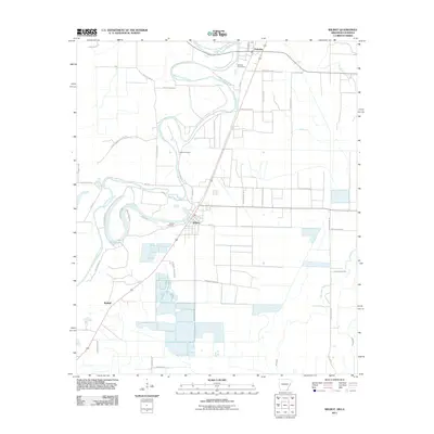 2011 Wilmot2011 Print · USGSSettled along the winding Bayou Bartholomew in the early twenty-first century, this area shows a landscape defined by delta agriculture and aquaculture. Researchers can trace family roots at Wilmot Cemetery or explore the rural roads near Lake Enterprise.
 - 2011 Map of Wilmot SW, 2011 Print
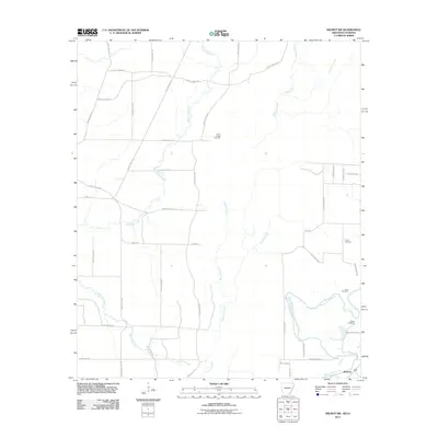 2011 Wilmot SW2011 Print · USGSThe Arkansas-Louisiana borderlands come into focus in the early 2010s, showing a rural landscape defined by slow-moving waterways and small-town roots. Genealogists can trace family landmarks and local burial grounds like Bethel Cemetery and Poley Bridge Cemetery near the banks of Bayou Bartholomew.
 - 2011 Map of Empire, 2011 Print
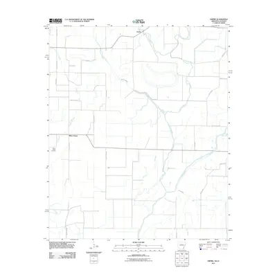 2011 Empire2011 Print · USGSThe Arkansas-Louisiana borderlands appear here in the early twenty-first century as a landscape of winding bayous and rural settlements. Researchers can locate family landmarks like Millers Chapel Cemetery or trace the complex waters of the Boeuf River and Lafourche Bayou.
 - 2011 Map of Crossett South, 2011 Print
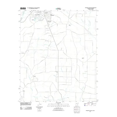 2011 Crossett South2011 Print · USGSThe southern reaches of Crossett and its surrounding timberlands are captured here at the start of the 2010s. Genealogists and historians can trace residential growth in Oakhurst Addition or locate early sites like Western Cemetery and Meridian.
 - 2011 Map of Berlin, 2011 Print
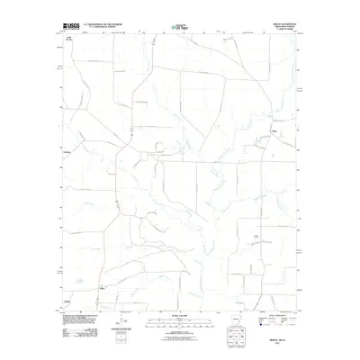 2011 Berlin2011 Print · USGSMorehouse Parish at the turn of the decade reveals a landscape defined by the winding waters of the Chemin-A-Haut Creek. Researchers can trace old family sites and rural settlements like Geddie, Berlin, and the grounds of Extra Cemetery.
 - 2012 Map of Harrell Lake, 2012 Print
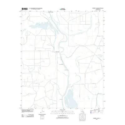 2012 Harrell Lake2012 Print · USGSThe riverfront of Union Parish comes to life in this survey, showcasing the vital landings along the Ouachita River. Genealogists and historians can trace the paths of Alabama Landing or locate remote spots like Hollands Woodyard Landing and High Tower Landing.
 - 2012 Map of Collinston East, 2012 Print
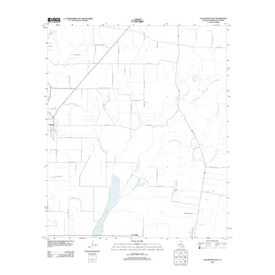 2012 Collinston East2012 Print · USGSCollinston and the surrounding Morehouse Parish delta lands are captured in this recent survey of northeast Louisiana. Genealogists and local historians can trace family-named landmarks and rural burial sites like Courney Cem, Gum Ridge, and the winding Little Bayou Bonne Idee.
 - 2012 Map of Swartz, 2012 Print
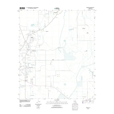 2012 Swartz2012 Print · USGSOuachita Parish shows its suburban growth and wetland geography in this early twenty-first-century survey of the Monroe area. Trace local family roots at Spring Hill Cem or explore the drainage patterns of Puckett Slough and the vast Swan Lakebed.
 - 2012 Map of Bear Skin, 2012 Print
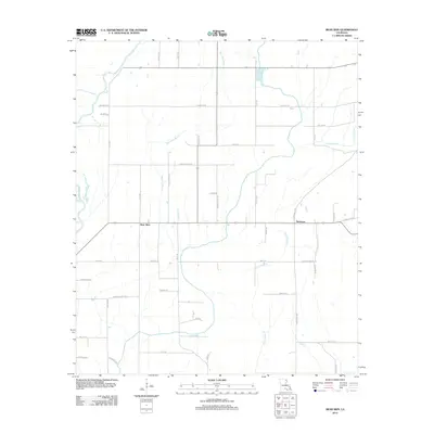 2012 Bear Skin2012 Print · USGSWest Carroll Parish in the early 2010s shows a landscape deeply tied to the Boeuf River and its network of drainage bayous. Genealogists and local historians can trace family-named routes like Bennie Fowler Rd and Alderman Rd near the settlements of Bear Skin and Newhope.
 - 2012 Map of Collinston West, 2012 Print
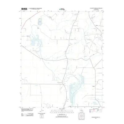 2012 Collinston West2012 Print · USGSMorehouse Parish in the early 2000s remains a landscape of small settlements and winding bayous. Genealogists and local historians can trace family locations near Pickett Cemetery or follow the routes connecting Spyker, Dewdrop Crossing, and Wham.
 - 2012 Map of Mer Rouge, 2012 Print
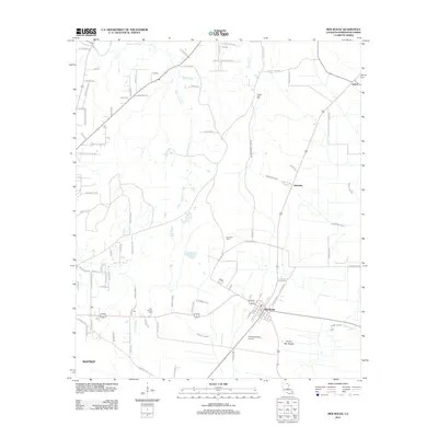 2012 Mer Rouge2012 Print · USGSMorehouse Parish at the start of the 2010s shows a landscape of delta agriculture and winding waterways. Genealogists can locate Mer Rouge Cem and Dunmore Cem, while tracing the paths of Bayou Bartholomew and Bayou de Glaize.
 - 2012 Map of Fiske, 2012 Print
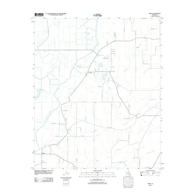 2012 Fiske2012 Print · USGSThe West Carroll Parish countryside is captured here in the early twenty-first century, showing a landscape defined by its bayous and family farms. Trace local history through the settlements of Concord and Fiske or locate landmarks like Costello Airport.
 - 2012 Map of Goodwill, 2012 Print
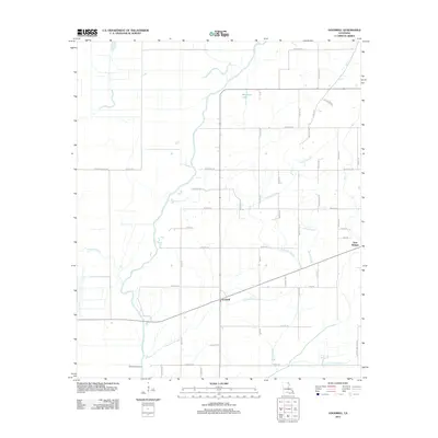 2012 Goodwill2012 Print · USGSWest Carroll Parish in the early 2010s remains a landscape of intricate waterways and rural crossings defined by the Boeuf River. Trace the connections between local settlements like Goodwill and Twin Bridges while exploring the courses of Fivemile Slough and Rising Slough.
 - 2012 Map of Twin Oaks, 2012 Print
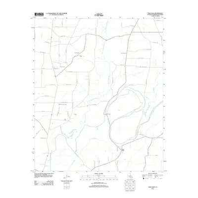 2012 Twin Oaks2012 Print · USGSMorehouse Parish at the start of the 2010s is a landscape defined by the winding Bayou Bartholomew and a deep-rooted rural road network. Genealogists and local historians can locate remote family landmarks such as Causey Cem, Neamon Cem, and the Beekman Lookout Tower.
 - 2012 Map of Bonita SW, 2012 Print
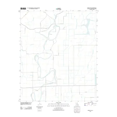 2012 Bonita SW2012 Print · USGSMorehouse Parish in the early 2010s reveals a landscape defined by its intricate bayous and local family history. Genealogists and historians can trace the rural network of named routes like Bailey Store Rd and Hamp Lenoir Rd near the Heart Cem.
 - 2012 Map of Bastrop, 2012 Print
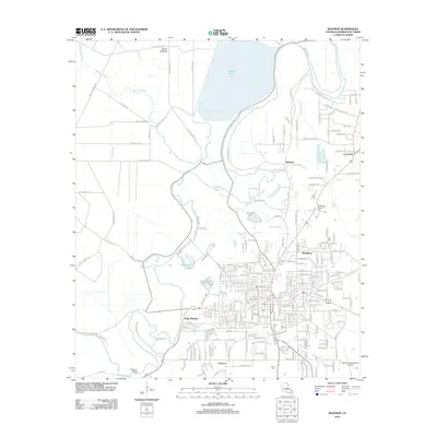 2012 Bastrop2012 Print · USGSMorehouse Parish in the early 2010s shows a landscape shaped by the winding Bayou Bartholomew and the large Bussy Brake reservoir. Genealogists and local historians can trace family locations near Point Pleasant, Anderson Chapel Cem, and Log Cabin.
 - 2012 Map of Whitney Island South, 2012 Print
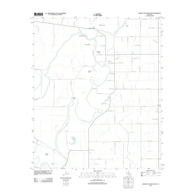 2012 Whitney Island South2012 Print · USGSMorehouse Parish at the turn of the decade is revealed here as a rich landscape of meandering bayous and isolated river islands. Researchers can locate family burial sites at Trio Cem and Shanks Cem or trace the waterways around Whitney Island and Point Jefferson.
 - 2012 Map of Irwin Lake, 2012 Print
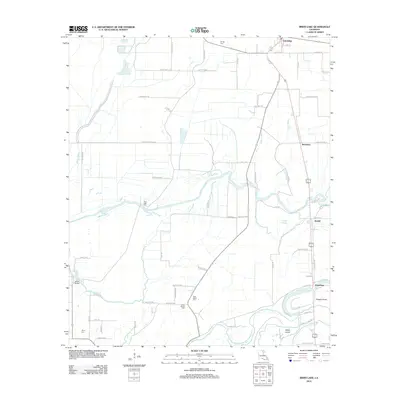 2012 Irwin Lake2012 Print · USGSMorehouse Parish in the early 2010s shows a landscape of bayous and family-named roads centered around Oak Ridge. Genealogists can trace family roots through several local burial grounds, such as James Chapel Cem, New Salem Cem, and Conger Cem.
 - 2012 Map of Whitney Island North, 2012 Print
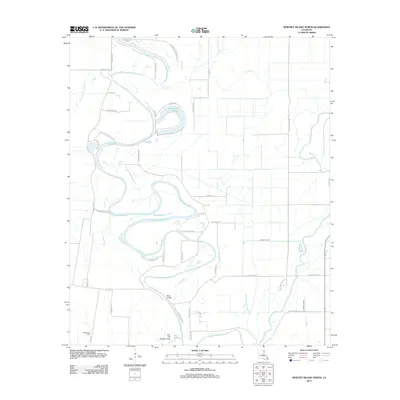 2012 Whitney Island North2012 Print · USGSMorehouse Parish at the start of the 2010s reveals a landscape dominated by the winding oxbows of Bayou Bonne Idee. Researchers can trace local family landmarks and burial sites like Wimberley Cem or follow the route to Moss Bridge.
 - 2012 Map of Bonita, 2012 Print
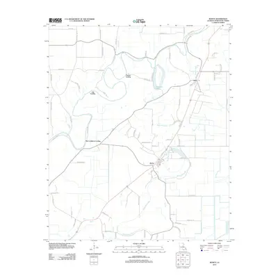 2012 Bonita2012 Print · USGSMorehouse Parish at the start of the 2010s is characterized by its reliance on the bayou system and a network of rural landings. Genealogists and local historians can trace family roots through named landings like Oak Landing and settlements like Bonita or Jones Po.
 - 2012 Map of Beekman, 2012 Print
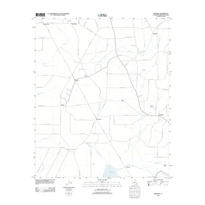 2012 Beekman2012 Print · USGSMorehouse Parish at the start of the 2010s reveals a landscape of working timberlands and energy extraction. Genealogists and historians can trace family roots through rural communities like Beekman, Vaughn, and Naff, or locate the Stevenson Cem and the nearby Beekman Gas and Oil Field.
 - 2012 Map of Sterlington, 2012 Print
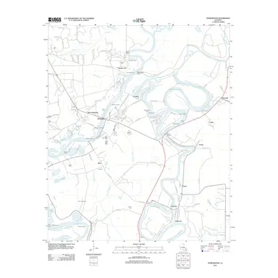 2012 Sterlington2012 Print · USGSSterlington and the surrounding Ouachita Parish riverfront are shown here during the early twenty-first century. Genealogists can trace family connections through river landings like Youngs Landing or local burial sites such as Glendora Cem and Phillips Cem.
 - 2012 Map of Fish Lake, 2012 Print
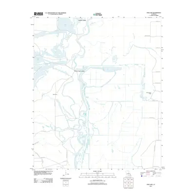 2012 Fish Lake2012 Print · USGSThe Ouachita River floodplain in the early 2010s reveals a traditional river-and-bayou landscape defined by seasonal water and historic landings. Researchers can locate remote river access points like Thirteen Points Landing and trace the winding paths of Possum Bayou and Shiloh Cr.
 - 2012 Map of Laark, 2012 Print
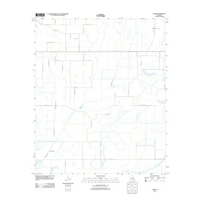 2012 Laark2012 Print · USGSMorehouse Parish in the early 2010s is a landscape of expansive agriculture defined by its historic bayous and family-named farm roads. Researchers can trace land heritage along Doc Mayo Rd and Norman Matheny Rd near Crane Lake and the Boeuf River.
Showing maps 1-25 of 75
Top cities of Morehouse Parish
- Bastrop historical maps
- Mer Rouge historical maps
- Bonita historical maps
- Collinston historical maps
- Oak Ridge historical maps
Frequently asked questions
- What are the different types of historical maps available for Morehouse Parish?
- What is the oldest map of Morehouse Parish?
- Where can I purchase historical maps of Morehouse Parish for my home or office?
- Where can I download high-res historical maps of Morehouse Parish?
- Are there historical topographic maps available for Morehouse Parish?
- Is there historical aerial imagery available for Morehouse Parish?
- Where are historical maps of Morehouse Parish sourced from?