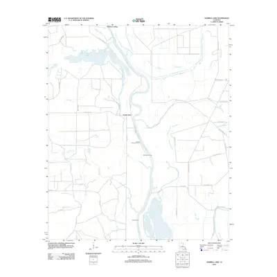
2012 Map of Harrell Lake
USGS Topo · Published 2012About this map
Alabama Landing serves as a primary reference point for this riverine landscape, where the meandering Ouachita River defines much of the local topography. The waterway is punctuated by numerous historical points of interest, including Hooker Hole, Hollands Woodyard Landing, High Tower Landing, and Cashill Landing, which reflect the region's heritage of river commerce and navigation. These landings were once vital nodes for transportation and industry along the riverbanks, connecting isolated interior lands to broader trade networks.
Find a feature on this map
46 named features on this map. Tap any name to fly to it.
Don’t see what you’re looking for? This feature index may not catch every label — zoom into the map to look around manually.
Map Details
Editions of this 2012 Harrell Lake Map
This is the sole edition of this map. No revisions or reprints were ever made.
Other maps of this area

1935 · Collinston
USGS Topo · 1:62,500

1935 · Naff
USGS Topo · 1:62,500

1935 · Drew
USGS Topo · 1:62,500

1935 · Haile
USGS Topo · 1:62,500

1955 · Jackson
USGS Topo · 1:250,000

1955 · Shreveport
USGS Topo · 1:250,000

1956 · Shreveport
USGS Topo · 1:250,000

1956 · Bastrop
USGS Topo · 1:62,500

1956 · Haile
USGS Topo · 1:62,500

1957 · Monroe North
USGS Topo · 1:62,500