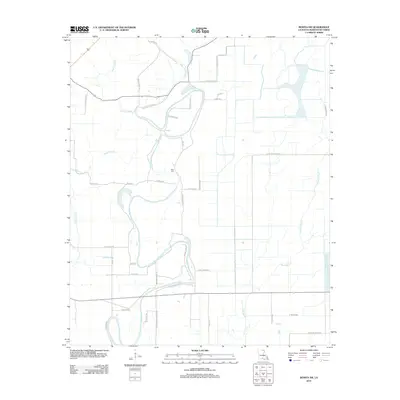
2012 Map of Bonita SW
USGS Topo · Published 2012About this map
The low-lying wetlands of Morehouse Parish define the landscape of this 2012 survey, dominated by the meandering courses of Bayou Bonne-Idee and Bayou Galion. The area is characterized by a high-density network of rural roads that often take the names of local families and residents, such as Bailey Store Rd, Clem Payne Rd, and Hamp Lenoir Rd. These family-named routes and the presence of Heart Cem suggest a deeply rooted rural community shaped by its proximity to the water. Significant drainage features like The Swale and Cypress Bayou illustrate the hydrological complexity of this portion of northern Louisiana. The road patterns, including Johnson School Rd, point to the sites of former community centers and rural hubs within the agricultural and swampy terrain.
Find a feature on this map
39 named features on this map. Tap any name to fly to it.
Don’t see what you’re looking for? This feature index may not catch every label — zoom into the map to look around manually.
Map Details
Editions of this 2012 Bonita SW Map
This is the sole edition of this map. No revisions or reprints were ever made.
Other maps of this area

1935 · Collinston
USGS Topo · 1:62,500

1935 · Naff
USGS Topo · 1:62,500

1935 · Hurricane
USGS Topo · 1:62,500

1935 · Bonita
USGS Topo · 1:62,500

1955 · Jackson
USGS Topo · 1:250,000

1956 · Bastrop
USGS Topo · 1:62,500

1957 · Collinston
USGS Topo · 1:62,500

1958 · Hurricane
USGS Topo · 1:62,500

1958 · Bonita
USGS Topo · 1:62,500

1961 · Jackson
USGS Topo · 1:250,000