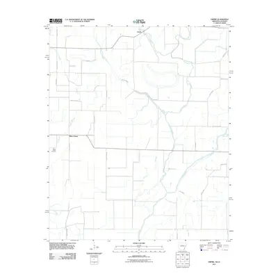
2011 Map of Empire
USGS Topo · Published 2011About this map
Millers Chapel and the community of Empire anchor this rural landscape along the Arkansas-Louisiana border in the early 21st century. The terrain is defined by a dense network of meandering waterways, including the Boeuf River and the braided channels of Lafourche Bayou, Fleschmans Bayou, and Caney Bayou. These natural drainages dictated the development of the local road system, which follows the higher ground and bypasses low-lying areas like Ash Flat.
Find a feature on this map
29 named features on this map. Tap any name to fly to it.
Don’t see what you’re looking for? This feature index may not catch every label — zoom into the map to look around manually.
Map Details
Editions of this 2011 Empire Map
This is the sole edition of this map. No revisions or reprints were ever made.
Other maps of this area

1909 · Ashton Bridge
USGS Topo · 1:24,000

1912 · Ashton Bridge
USGS Topo · 1:31,680

1935 · Wilmot
USGS Topo · 1:62,500

1935 · Oak Grove
USGS Topo · 1:62,500

1935 · Bonita
USGS Topo · 1:62,500

1936 · Eudora
USGS Topo · 1:62,500

1953 · Greenwood
USGS Topo · 1:250,000

1955 · Jackson
USGS Topo · 1:250,000

1956 · Greenwood
USGS Topo · 1:250,000

1957 · Eudora
USGS Topo · 1:62,500