2020s Maps of St. Landry Parish, Louisiana
Explore 53 historic maps of St. Landry Parish from the 2020s. These maps offer a rare glimpse into what life looked like during the 2020s — showing old roads, neighborhoods, homes, and landmarks that have changed or disappeared over time.
Whether you're researching your family's past, planning a metal detecting trip, or studying how St. Landry Parish's landscape evolved across the 2020s, these high-resolution maps are a powerful tool for exploring the history of this region.
- Focus on a specific era: All maps on this page are from the 2020s, giving you a focused view of this time period.
- See what’s changed: Compare century-old streets, trails, and buildings to today's modern landscape using overlays and satellite layers.
- Research with precision: Use these maps for genealogy, historical research, land use analysis, or educational projects.
- View, download, or print: Maps are fully viewable online in high resolution, and can be downloaded or printed for your own records.
Start exploring St. Landry Parish's history through authentic maps from the 2020s. This is your window into the past.
St. Landry Parish, LA maps
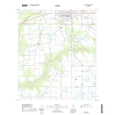
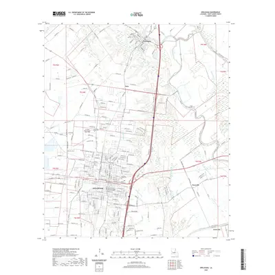
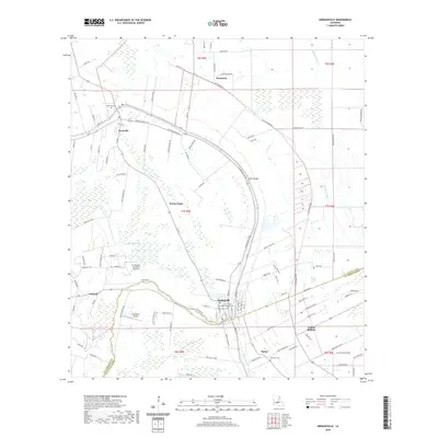
(53)- 2020 Map of Breaux Bridge, 2020 Print
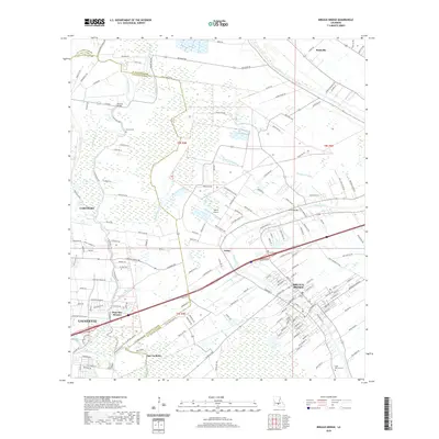 2020 Breaux Bridge2020 Print · USGSCovers St. Landry Parish, including Lafayette, Breaux Bridge, and other nearby areas
 - 2020 Map of Port Barre, 2020 Print
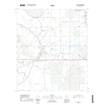 2020 Port Barre2020 Print · USGSCovers St. Landry Parish, including Port Barre, Darbonne, and other nearby areas
 - 2020 Map of Carencro, 2020 Print
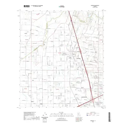 2020 Carencro2020 Print · USGSCovers St. Landry Parish, including Lafayette, Scott, and other nearby areas
 - 2020 Map of Melville, 2020 Print
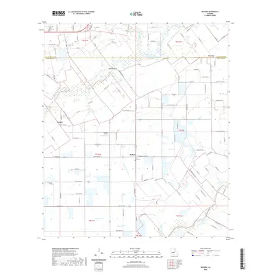
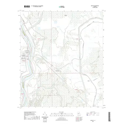 2020 Melville2020 Print · USGSCovers St. Landry Parish, including Melville, Ravenswood, and other nearby areas
 - 2020 Map of Church Point, 2020 Print
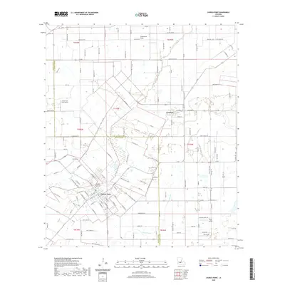 2020 Church Point2020 Print · USGSCovers St. Landry Parish, including Church Point, Lewisburg, and other nearby areas
 - 2020 Map of Mire, 2020 Print
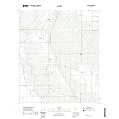
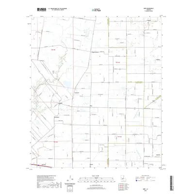 2020 Mire2020 Print · USGSCovers St. Landry Parish, including Rayne, Scott, and other nearby areas
 - 2020 Map of Chataignier, 2020 Print
 2020 Chataignier2020 Print · USGSCovers St. Landry Parish, including Chataignier, Savoy, and other nearby areas
 - 2020 Map of Eunice South, 2020 Print
 2020 Eunice South2020 Print · USGSCovers St. Landry Parish, including Eunice, Williams, and other nearby areas
 - 2020 Map of Maringouin NW, 2020 Print
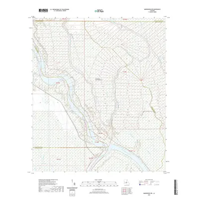 2020 Maringouin NW2020 Print · USGSCovers St. Landry Parish, including Saint Martin Parish, Iberville Parish, and other nearby areas
 - 2020 Map of Bayou Jack, 2020 Print
 2020 Bayou Jack2020 Print · USGSCovers St. Landry Parish, including Taterville, Veazie, and other nearby areas
 - 2020 Map of Bayou Current, 2020 Print
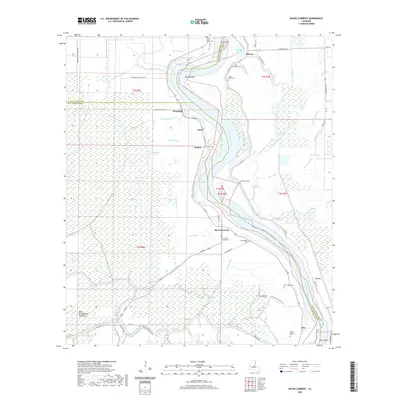 2020 Bayou Current2020 Print · USGSCovers St. Landry Parish, including Woodside, Coon, and other nearby areas
 - 2020 Map of Swayze Lake, 2020 Print
 2020 Swayze Lake2020 Print · USGSCovers St. Landry Parish, including Melville, Swayze Lake, and other nearby areas
 - 2020 Map of Opelousas, 2020 Print
 2020 Opelousas2020 Print · USGSCovers St. Landry Parish, including Opelousas, Washington, and other nearby areas
 - 2020 Map of Morrow, 2020 Print
 2020 Morrow2020 Print · USGSCovers St. Landry Parish, including Goudeau, Big Cane, and other nearby areas
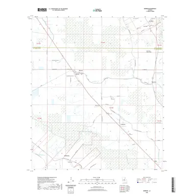
 - 2020 Map of Lawtell, 2020 Print
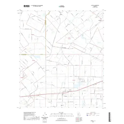 2020 Lawtell2020 Print · USGSCovers St. Landry Parish, including Lawtell, Veazie, and other nearby areas
 - 2020 Map of Lottie, 2020 Print
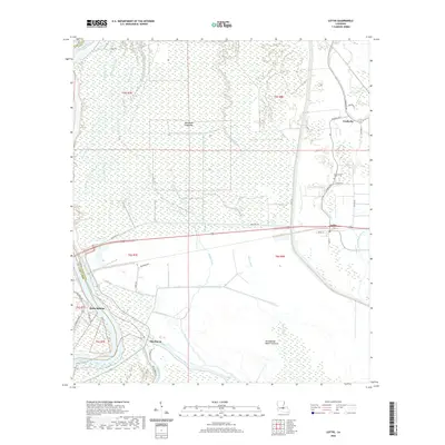 2020 Lottie2020 Print · USGSCovers St. Landry Parish, including Krotz Springs, Fordoche, and other nearby areas
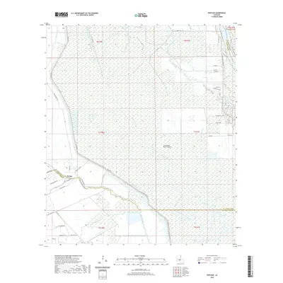
 - 2020 Map of Portage, 2020 Print
 2020 Portage2020 Print · USGSCovers St. Landry Parish, including Portage, Saint Martin Parish, and other nearby areas
 - 2020 Map of Krotz Springs, 2020 Print
 2020 Krotz Springs2020 Print · USGSCovers St. Landry Parish, including Krotz Springs, McClure, and other nearby areas
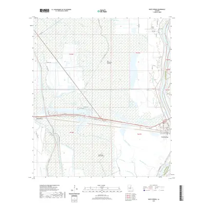
 - 2020 Map of Beggs, 2020 Print
 2020 Beggs2020 Print · USGSCovers St. Landry Parish, including Soileau, Garland, and other nearby areas
 - 2020 Map of Tate Cove, 2020 Print
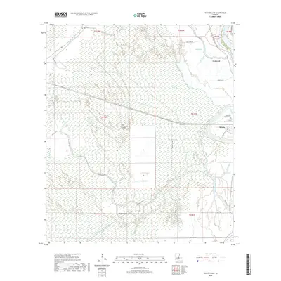
 2020 Tate Cove2020 Print · USGSCovers St. Landry Parish, including Ville Platte, Grand Prairie, and other nearby areas
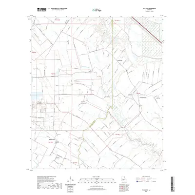
 - 2020 Map of Whiteville, 2020 Print
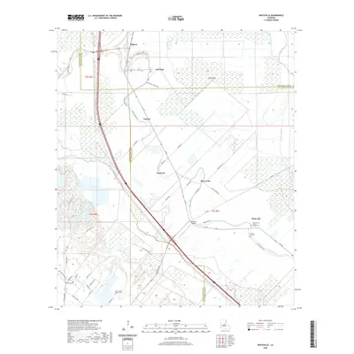 2020 Whiteville2020 Print · USGSCovers St. Landry Parish, including Augusta, Milburn, and other nearby areas
 - 2020 Map of Arnaudville, 2020 Print
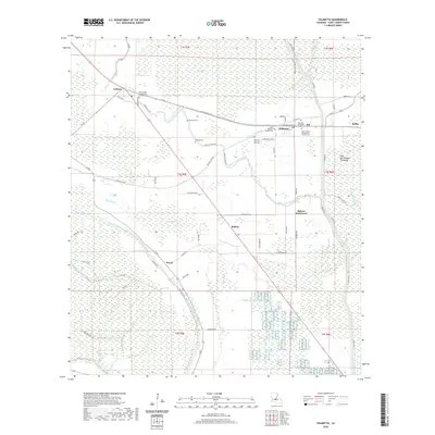
 2020 Arnaudville2020 Print · USGSCovers St. Landry Parish, including Arnaudville, Leonville, and other nearby areas
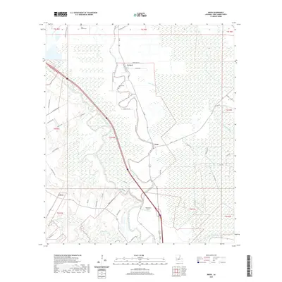
 - 2020 Map of Palmetto, 2020 Print
 2020 Palmetto2020 Print · USGSCovers St. Landry Parish, including Palmetto, Immaculata, and other nearby areas
 - 2020 Map of Richard, 2020 Print
 2020 Richard2020 Print · USGSCovers St. Landry Parish, including Pitreville, Prudhomme, and other nearby areas
 - 2020 Map of Eunice North, 2020 Print
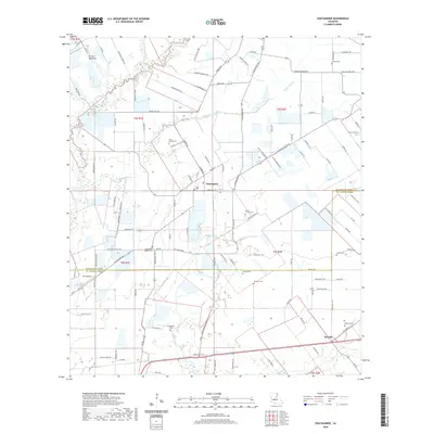
 2020 Eunice North2020 Print · USGSCovers St. Landry Parish, including Eunice, Mamou, and other nearby areas
Showing maps 1-25 of 53
Top cities of St. Landry Parish
- Opelousas historical maps
- Eunice historical maps
- Sunset historical maps
- Port Barre historical maps
- Melville historical maps
- Krotz Springs historical maps
See more
Frequently asked questions
- What are the different types of historical maps available for St. Landry Parish?
- What is the oldest map of St. Landry Parish?
- Where can I purchase historical maps of St. Landry Parish for my home or office?
- Where can I download high-res historical maps of St. Landry Parish?
- Are there historical topographic maps available for St. Landry Parish?
- Is there historical aerial imagery available for St. Landry Parish?
- Where are historical maps of St. Landry Parish sourced from?