2010s Maps of St. Landry Parish, Louisiana
Explore 78 historic maps of St. Landry Parish from the 2010s. These maps offer a rare glimpse into what life looked like during the 2010s — showing old roads, neighborhoods, homes, and landmarks that have changed or disappeared over time.
Whether you're researching your family's past, planning a metal detecting trip, or studying how St. Landry Parish's landscape evolved across the 2010s, these high-resolution maps are a powerful tool for exploring the history of this region.
- Focus on a specific era: All maps on this page are from the 2010s, giving you a focused view of this time period.
- See what’s changed: Compare century-old streets, trails, and buildings to today's modern landscape using overlays and satellite layers.
- Research with precision: Use these maps for genealogy, historical research, land use analysis, or educational projects.
- View, download, or print: Maps are fully viewable online in high resolution, and can be downloaded or printed for your own records.
Start exploring St. Landry Parish's history through authentic maps from the 2010s. This is your window into the past.
St. Landry Parish, LA maps
(78)- 2012 Map of Carencro, 2012 Print
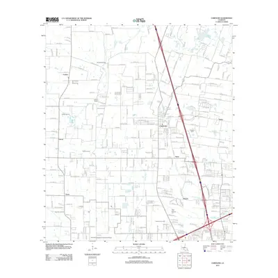 2012 Carencro2012 Print · USGSLafayette Parish comes into focus during the early twenty-first century, showing a landscape defined by traditional settlements and modern industry. Researchers can trace the layout of Carencro, locate the Vatican Oil Field, and identify family landmarks like Mouton or Gloria.
 - 2012 Map of Morrow, 2012 Print
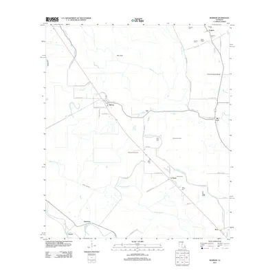 2012 Morrow2012 Print · USGSAgricultural life in rural Avoyelles Parish remains centered around small settlements and water management at the start of the 2010s. Researchers can locate numerous family-named burial sites like Goudeau Cem and explore landmarks like the Big Cane Gas Field.
 - 2012 Map of Tate Cove, 2012 Print
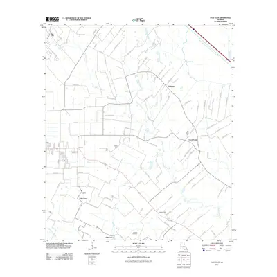 2012 Tate Cove2012 Print · USGSEvangeline Parish at the start of the 2010s reveals a landscape shaped by rural coves and intricate bayou systems. Local historians can trace family roots through numerous burial sites like Old Grand Prairie Cem and Young Cem, alongside the area's Gas Field and small aviation strips.
 - 2012 Map of Beggs, 2012 Print
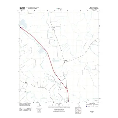 2012 Beggs2012 Print · USGSSt. Landry Parish is revealed in the early twenty-first century as a network of bayous and traditional settlements. Trace local family roots at Chimleyville Cem and explore the landscapes of Beggs, Soileau, and the Washington Oil and Gas Field.
 - 2012 Map of Church Point, 2012 Print
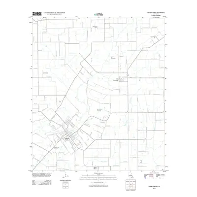 2012 Church Point2012 Print · USGSAcadia Parish in the early 2010s shows a landscape where traditional Cajun prairie settlements intersect with the modern energy industry. Researchers can trace family-named roads and locate historic burial sites like Baptist Cem and the McBride Cem near Church Point.
 - 2012 Map of Opelousas, 2012 Print
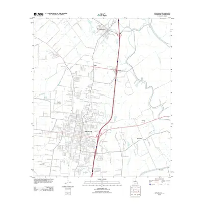 2012 Opelousas2012 Print · USGSSt. Landry Parish in the early twenty-first century reveals a landscape where historic bayou settlements meet modern industry. Genealogists and historians can trace family locations near Lawyers Row, Saint Landry Cem, or the town of Washington.
 - 2012 Map of Mire, 2012 Print
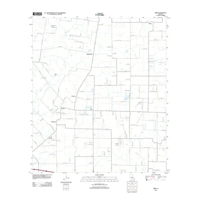 2012 Mire2012 Print · USGSThe Acadian prairie of Louisiana comes into focus here in the early twenty-first century, showing a landscape defined by coulees and oil fields. Genealogists and local historians can trace family land via Mount Calvary Cem or locate old community hubs like Mire, Bristol, and Higginbotham.
 - 2012 Map of Whiteville, 2012 Print
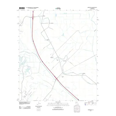 2012 Whiteville2012 Print · USGSThe St. Landry Parish landscape is defined by the massive Bayou Boeuf-Cocodrie Diversion Channel as it appeared in the early 2010s. Researchers can trace the legacy of rural settlements at Whiteville and Gold Dust or locate family sites near Fontenot Cemetery.
 - 2012 Map of Sunset, 2012 Print
 2012 Sunset2012 Print · USGSSt. Landry Parish is captured here during a period of modern growth and industrial activity near the bayou. Genealogists and historians can locate family landmarks such as Montgomery-Wilkins Cem and trace the footprints of Shuteston and Grand Coteau.
 - 2012 Map of Lawtell, 2012 Print
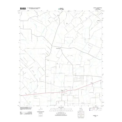 2012 Lawtell2012 Print · USGSSt. Landry Parish is captured in the early 21st century, showcasing a landscape of rural settlements and winding bayous. Genealogists and historians can trace local landmarks like Saint Andrews Cem, Lawtell Gas Field, and the community of Prairie Ronde.
 - 2012 Map of Eunice South, 2012 Print
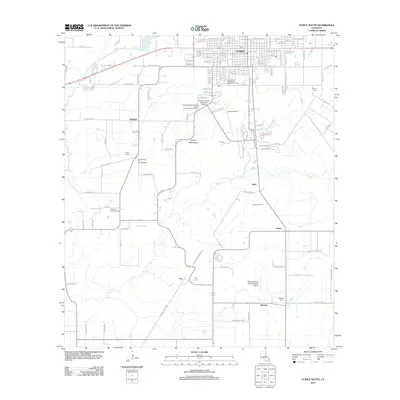 2012 Eunice South2012 Print · USGSSt. Landry Parish transitions from the residential streets of Eunice to the surrounding oil fields and prairies in the early 2000s. Genealogists and historians can trace family-named sites like Frey, Mowata Cem, and the Riche Oil and Gas Field.
 - 2012 Map of Chataignier, 2012 Print
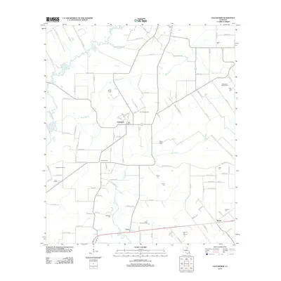 2012 Chataignier2012 Print · USGSCentral Evangeline Parish comes into focus during the early twenty-first century, showing a landscape of bayous and oil fields. Genealogists can locate family-named sites like Leon Manuel Cem and Fontenot Cem near the town of Chataignier.
 - 2012 Map of Richard, 2012 Print
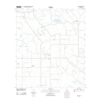 2012 Richard2012 Print · USGSAcadia Parish at the start of the 2010s reveals a landscape of enduring family settlements and oil fields. Genealogists can locate family-named burial grounds like Courtville Cem and Mowata Cem while tracing the local water systems of Bayou Mallet.
 - 2012 Map of Eunice North, 2012 Print
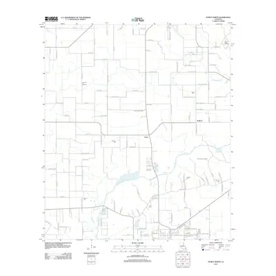 2012 Eunice North2012 Print · USGSSt. Landry Parish in the early twenty-first century reveals a landscape shaped by petroleum and deep-rooted family ties. Researchers can trace land tracts near Bayou Des Cannes and locate ancestral burial sites at Miller and Guillory.
 - 2012 Map of Port Barre, 2012 Print
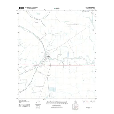 2012 Port Barre2012 Print · USGSPort Barre and the surrounding St. Landry Parish bayous are captured here in the early twenty-first century. Genealogists and researchers can trace local landmarks like Saquette Cem, the Port Barre Oil and Gas Field, and settlements such as Chiasson and Hazelwood.
 - 2012 Map of Bayou Current, 2012 Print
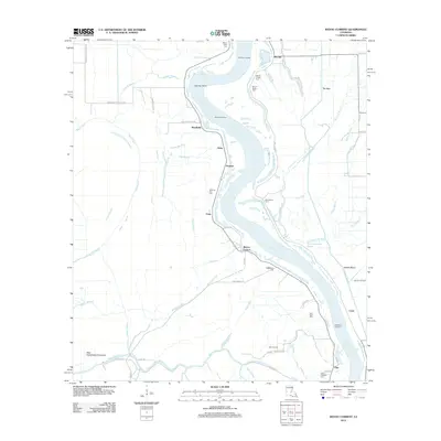 2012 Bayou Current2012 Print · USGSThe Atchafalaya River dominates this St. Landry Parish landscape in the early twenty-first century, shaping a region defined by its bayous and floodways. Local historians can trace family ties at Morning Star Cem or locate riverfront sites like Burlong Landing and Barberton Landing.
 - 2012 Map of Swayze Lake, 2012 Print
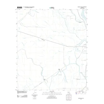 2012 Swayze Lake2012 Print · USGSThe Atchafalaya basin in the early twenty-first century reveals a landscape shaped by intricate bayous and energy extraction. Researchers can trace the hydraulic connections of Swayze Lake and find remote outposts like Sambo and the Melville Gas Field.
 - 2012 Map of Krotz Springs, 2012 Print
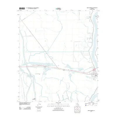 2012 Krotz Springs2012 Print · USGSKrotz Springs and the Atchafalaya River basin are captured here in the early twenty-first century, showcasing a landscape defined by complex water management. Researchers can trace local landmarks like Midway Cem, the Bayou Courtableau Gas Field, and the small community at McClure.
 - 2012 Map of Portage, 2012 Print
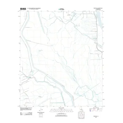 2012 Portage2012 Print · USGSSaint Martin Parish at the turn of the decade is a world of deep bayous and energy extraction. Genealogists and researchers can trace family-named routes like Regis Lagrange Rd and Moise Mallet Rd near the North Cecilia Gas Field.
 - 2012 Map of Arnaudville, 2012 Print
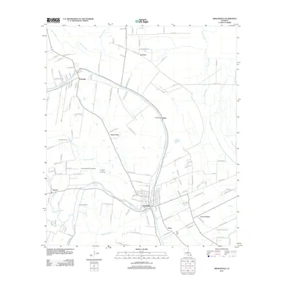 2012 Arnaudville2012 Print · USGSArnaudville and Leonville sit at the heart of this survey of the Bayou Teche corridor in the early twenty-first century. Genealogists and local historians can trace family land via Lucien Richard Rd, locate the Ring Zion Cem, or explore the Arnaudville Oil and Gas Field.
 - 2012 Map of Palmetto, 2012 Print
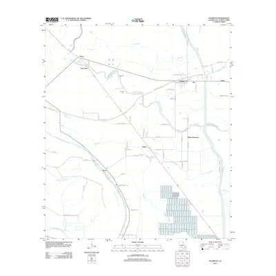 2012 Palmetto2012 Print · USGSSt. Landry Parish was a land of bayous and scattered farming communities in the early 2000s. Genealogists and local historians can trace the roads and waterways connecting Palmetto, the Rideau Settlement, and the Goudeau Cem.
 - 2012 Map of Breaux Bridge, 2012 Print
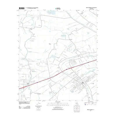 2012 Breaux Bridge2012 Print · USGSSt. Martin and Lafayette parishes are shown in the early 2010s, where bayou-side settlements meet the industrial landscape of the Louisiana oil fields. Trace local history through the Anse La Butte Oil and Gas Field, Saint Bernard Cem, and the streets of Breaux Bridge.
 - 2012 Map of Lottie, 2012 Print
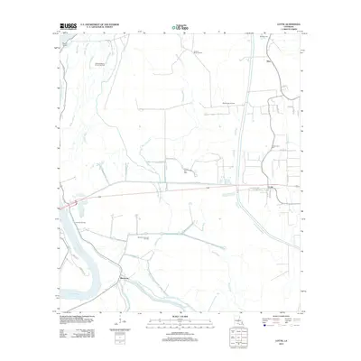 2012 Lottie2012 Print · USGSLouisiana's Atchafalaya Basin comes to life in this detailed view of the early twenty-first century, where energy production meets winding bayous. Genealogists and local historians can trace the roads around Lottie, explore the Cottonwood Cem, or locate landmarks like Majors Airpark.
 - 2012 Map of Maringouin NW, 2012 Print
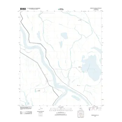 2012 Maringouin NW2012 Print · USGSSt. Landry Parish's deep basin is shown in the early 2010s, a landscape defined by the winding Atchafalaya and its industry. Researchers can trace the energy infrastructure of the Happytown Oil and Gas Field and waterways like the Whisky Bay Pilot Channel.
 - 2012 Map of Bayou Jack, 2012 Print
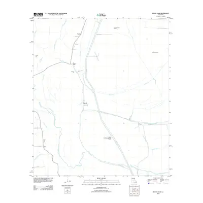 2012 Bayou Jack2012 Print · USGSThis St. Landry Parish corridor in the early 2010s reveals a landscape of water management and rural settlement patterns. Genealogists and local historians can trace family-named sites like Spring Bluff Cem, the North Bayou Jack Oil Field, and the community of Taterville.
Showing maps 1-25 of 78
Top cities of St. Landry Parish
- Opelousas historical maps
- Eunice historical maps
- Sunset historical maps
- Port Barre historical maps
- Melville historical maps
- Krotz Springs historical maps
See more
Frequently asked questions
- What are the different types of historical maps available for St. Landry Parish?
- What is the oldest map of St. Landry Parish?
- Where can I purchase historical maps of St. Landry Parish for my home or office?
- Where can I download high-res historical maps of St. Landry Parish?
- Are there historical topographic maps available for St. Landry Parish?
- Is there historical aerial imagery available for St. Landry Parish?
- Where are historical maps of St. Landry Parish sourced from?