Old Maps of Tangipahoa Parish, Louisiana for Academic Research
Study the evolution of Tangipahoa Parish with 105 high-resolution historic maps. Whether you're teaching, researching, or modeling changes in land use, these maps provide essential visual documentation of urban, environmental, and geographic change.
- Analyze long-term change: Track patterns in development, transportation, and natural features.
- Ideal for environmental or urban studies: Support academic projects with primary historical map data.
- Use in the classroom or lab: Educators and researchers rely on these maps to bring historical context to life.
These maps are a powerful tool for teaching, research, and visualizing how Tangipahoa Parish has changed over the decades.
Tangipahoa Parish, LA maps
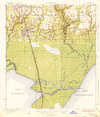
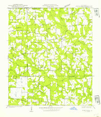
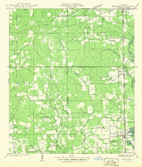
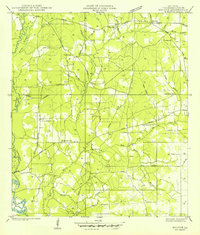
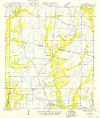
(105)- 1891 Map of Spanish Fort
 1891 Spanish Fort1891 Print · USGSCovers Tangipahoa Parish, including New Orleans, Kenner, and other nearby areas4 unique versions available
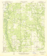
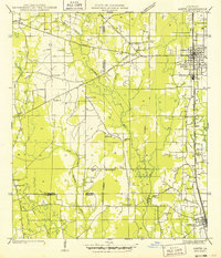
 - 1934 Map of Springfield
 1934 Springfield1934 Print · USGSCovers Tangipahoa Parish, including Hammond, Maurepas, and other nearby areas2 unique versions available
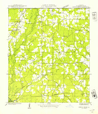
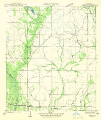
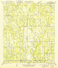
 - 1935 Map of Covington
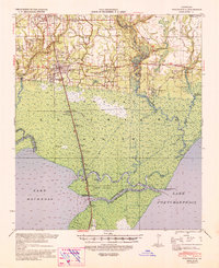
 1935 Covington1935 Print · USGSCovers Tangipahoa Parish, including Mandeville, Covington, and other nearby areas3 unique versions available
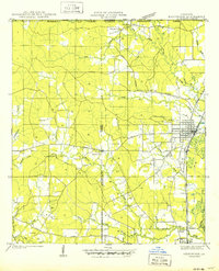
 - 1935 Map of Ponchatoula
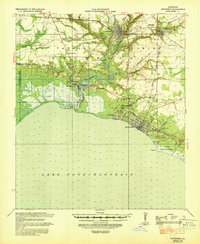
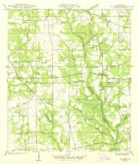
 1935 Ponchatoula1935 Print · USGSCovers Tangipahoa Parish, including Hammond, Ponchatoula, and other nearby areas2 unique versions available
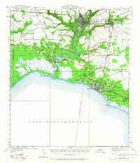
 - 1936 Map of Spanish Fort, 1938 Print
 1936 Spanish Fort1938 Print · USGSCovers Tangipahoa Parish, including New Orleans, Kenner, and other nearby areas
 - 1939 Map of Ponchatoula
 1939 Ponchatoula1939 Print · USGSCovers Tangipahoa Parish, including Hammond, Ponchatoula, and other nearby areas
 - 1939 Map of Covington
 1939 Covington1939 Print · USGSCovers Tangipahoa Parish, including Mandeville, Covington, and other nearby areas
 - 1939 Map of Springfield
 1939 Springfield1939 Print · USGSCovers Tangipahoa Parish, including Hammond, Maurepas, and other nearby areas2 unique versions available
 - 1939 Map of Sunny Hill
 1939 Sunny Hill1939 Print · USGSCovers Tangipahoa Parish, including Sunny Hill, Bailey, and other nearby areas
 - 1940 Map of Spring Creek
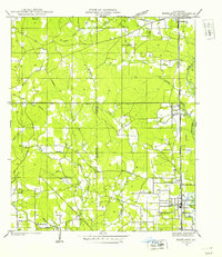
 1940 Spring Creek1940 Print · USGSCovers Tangipahoa Parish, including Kentwood, Osyka, and other nearby areas
 - 1940 Map of Tickfaw
 1940 Tickfaw1940 Print · USGSCovers Tangipahoa Parish, including Hammond, Independence, and other nearby areas
 - 1940 Map of Roseland, 1954 Print
 1940 Roseland1954 Print · USGSCovers Tangipahoa Parish, including Roseland, Tangipahoa, and other nearby areas
 - 1942 Map of Roseland
 1942 Roseland1942 Print · USGSCovers Tangipahoa Parish, including Roseland, Tangipahoa, and other nearby areas
 - 1942 Map of Onville
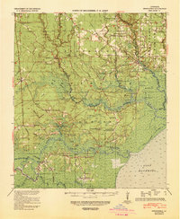
 1942 Onville1942 Print · USGSCovers Tangipahoa Parish, including Covington, Folsom, and other nearby areas
 - 1942 Map of Husser
 1942 Husser1942 Print · USGSCovers Tangipahoa Parish, including Husser, Osceola, and other nearby areas
 - 1942 Map of Robert
 1942 Robert1942 Print · USGSCovers Tangipahoa Parish, including Lorraine, Robert, and other nearby areas
 - 1942 Map of Wilmer
 1942 Wilmer1942 Print · USGSCovers Tangipahoa Parish, including Stoney Point, Wilmer, and other nearby areas
 - 1942 Map of Loranger
 1942 Loranger1942 Print · USGSCovers Tangipahoa Parish, including Independence, Amite City, and other nearby areas
 - 1949 Map of Bolivar
 1949 Bolivar1949 Print · USGSCovers Tangipahoa Parish, including Roseland, Amite City, and other nearby areas
 - 1949 Map of Amite
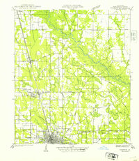
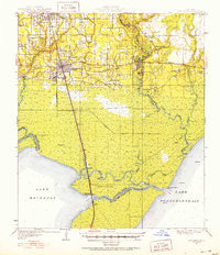
 1949 Amite1949 Print · USGSCovers Tangipahoa Parish, including Independence, Amite City, and other nearby areas
 - 1949 Map of Albany
 1949 Albany1949 Print · USGSCovers Tangipahoa Parish, including Hammond, Independence, and other nearby areas
 - 1950 Map of Kentwood
 1950 Kentwood1950 Print · USGSCovers Tangipahoa Parish, including Kentwood, Tangipahoa, and other nearby areas
 - 1950 Map of Folsom
 1950 Folsom1950 Print · USGSCovers Tangipahoa Parish, including Folsom, St. Tammany Parish, and other nearby areas
 - 1950 Map of Covington, 1965 Print
 1950 Covington1965 Print · USGSCovers Tangipahoa Parish, including Mandeville, Covington, and other nearby areas
 - 1951 Map of Ponchatoula, 1953 Print
 1951 Ponchatoula1953 Print · USGSCovers Tangipahoa Parish, including Hammond, Ponchatoula, and other nearby areas3 unique versions available
Showing maps 1-25 of 105
Top cities of Tangipahoa Parish
- Hammond historical maps
- Ponchatoula historical maps
- Kentwood historical maps
- Independence historical maps
- Roseland historical maps
- Tangipahoa historical maps
See more
Frequently asked questions
- What are the different types of historical maps available for Tangipahoa Parish?
- What is the oldest map of Tangipahoa Parish?
- Where can I purchase historical maps of Tangipahoa Parish for my home or office?
- Where can I download high-res historical maps of Tangipahoa Parish?
- Are there historical topographic maps available for Tangipahoa Parish?
- Is there historical aerial imagery available for Tangipahoa Parish?
- Where are historical maps of Tangipahoa Parish sourced from?