Old Maps of Tangipahoa Parish, Louisiana for Hiking & Exploration
Hike through history with 105 historic maps of Tangipahoa Parish. Explore old trails, ghost towns, and forgotten backroads — perfect for outdoor adventurers and local explorers.
- Rediscover forgotten places: Map out old mining camps, roads, and footpaths that no longer exist on modern maps.
- Layer with modern tools: Combine with LiDAR or satellite views to plan hikes through historical terrain.
- Made for exploration: Popular among hikers, overlanders, and local history lovers.
Use these maps to find adventure and explore the hidden past of Tangipahoa Parish.
Tangipahoa Parish, LA maps
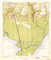
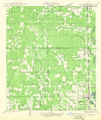
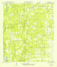
(105)- 1891 Map of Spanish Fort
 1891 Spanish Fort1891 Print · USGSCovers Tangipahoa Parish, including New Orleans, Kenner, and other nearby areas4 unique versions available
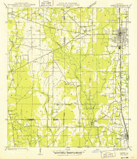
 - 1934 Map of Springfield
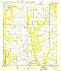
 1934 Springfield1934 Print · USGSCovers Tangipahoa Parish, including Hammond, Maurepas, and other nearby areas2 unique versions available
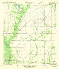
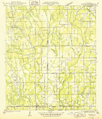
 - 1935 Map of Covington
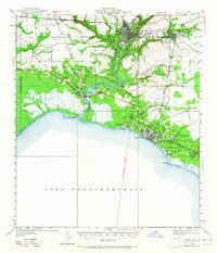
 1935 Covington1935 Print · USGSCovers Tangipahoa Parish, including Mandeville, Covington, and other nearby areas3 unique versions available
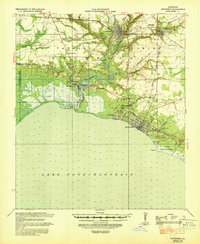
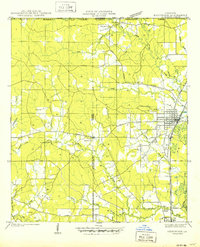
 - 1935 Map of Ponchatoula
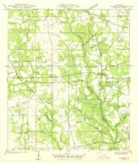
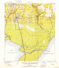
 1935 Ponchatoula1935 Print · USGSCovers Tangipahoa Parish, including Hammond, Ponchatoula, and other nearby areas2 unique versions available
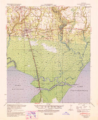
 - 1936 Map of Spanish Fort, 1938 Print
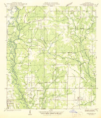
 1936 Spanish Fort1938 Print · USGSCovers Tangipahoa Parish, including New Orleans, Kenner, and other nearby areas
 - 1939 Map of Ponchatoula
 1939 Ponchatoula1939 Print · USGSCovers Tangipahoa Parish, including Hammond, Ponchatoula, and other nearby areas
 - 1939 Map of Covington
 1939 Covington1939 Print · USGSCovers Tangipahoa Parish, including Mandeville, Covington, and other nearby areas
 - 1939 Map of Springfield
 1939 Springfield1939 Print · USGSCovers Tangipahoa Parish, including Hammond, Maurepas, and other nearby areas2 unique versions available
 - 1939 Map of Sunny Hill
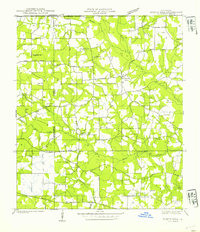 1939 Sunny Hill1939 Print · USGSCovers Tangipahoa Parish, including Sunny Hill, Bailey, and other nearby areas
 - 1940 Map of Spring Creek
 1940 Spring Creek1940 Print · USGSCovers Tangipahoa Parish, including Kentwood, Osyka, and other nearby areas
 - 1940 Map of Tickfaw
 1940 Tickfaw1940 Print · USGSCovers Tangipahoa Parish, including Hammond, Independence, and other nearby areas
 - 1940 Map of Roseland, 1954 Print
 1940 Roseland1954 Print · USGSCovers Tangipahoa Parish, including Roseland, Tangipahoa, and other nearby areas
 - 1942 Map of Roseland
 1942 Roseland1942 Print · USGSCovers Tangipahoa Parish, including Roseland, Tangipahoa, and other nearby areas
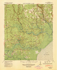
 - 1942 Map of Onville
 1942 Onville1942 Print · USGSCovers Tangipahoa Parish, including Covington, Folsom, and other nearby areas
 - 1942 Map of Husser
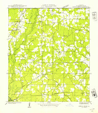
 1942 Husser1942 Print · USGSCovers Tangipahoa Parish, including Husser, Osceola, and other nearby areas
 - 1942 Map of Robert
 1942 Robert1942 Print · USGSCovers Tangipahoa Parish, including Lorraine, Robert, and other nearby areas
 - 1942 Map of Wilmer
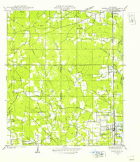
 1942 Wilmer1942 Print · USGSCovers Tangipahoa Parish, including Stoney Point, Wilmer, and other nearby areas
 - 1942 Map of Loranger
 1942 Loranger1942 Print · USGSCovers Tangipahoa Parish, including Independence, Amite City, and other nearby areas
 - 1949 Map of Bolivar
 1949 Bolivar1949 Print · USGSCovers Tangipahoa Parish, including Roseland, Amite City, and other nearby areas
 - 1949 Map of Amite
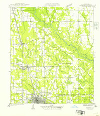
 1949 Amite1949 Print · USGSCovers Tangipahoa Parish, including Independence, Amite City, and other nearby areas
 - 1949 Map of Albany
 1949 Albany1949 Print · USGSCovers Tangipahoa Parish, including Hammond, Independence, and other nearby areas
 - 1950 Map of Kentwood
 1950 Kentwood1950 Print · USGSCovers Tangipahoa Parish, including Kentwood, Tangipahoa, and other nearby areas
 - 1950 Map of Folsom
 1950 Folsom1950 Print · USGSCovers Tangipahoa Parish, including Folsom, St. Tammany Parish, and other nearby areas
 - 1950 Map of Covington, 1965 Print
 1950 Covington1965 Print · USGSCovers Tangipahoa Parish, including Mandeville, Covington, and other nearby areas
 - 1951 Map of Ponchatoula, 1953 Print
 1951 Ponchatoula1953 Print · USGSCovers Tangipahoa Parish, including Hammond, Ponchatoula, and other nearby areas3 unique versions available
Showing maps 1-25 of 105
Top cities of Tangipahoa Parish
- Hammond historical maps
- Ponchatoula historical maps
- Kentwood historical maps
- Independence historical maps
- Roseland historical maps
- Tangipahoa historical maps
See more
Frequently asked questions
- What are the different types of historical maps available for Tangipahoa Parish?
- What is the oldest map of Tangipahoa Parish?
- Where can I purchase historical maps of Tangipahoa Parish for my home or office?
- Where can I download high-res historical maps of Tangipahoa Parish?
- Are there historical topographic maps available for Tangipahoa Parish?
- Is there historical aerial imagery available for Tangipahoa Parish?
- Where are historical maps of Tangipahoa Parish sourced from?