2000s (21st Century) Maps of Tangipahoa Parish, Louisiana
Explore 125 historic maps of Tangipahoa Parish from the 2000s (21st Century). These maps offer a rare glimpse into what life looked like during the 2000s — showing old roads, neighborhoods, homes, and landmarks that have changed or disappeared over time.
Whether you're researching your family's past, planning a metal detecting trip, or studying how Tangipahoa Parish's landscape evolved across the 2000s, these high-resolution maps are a powerful tool for exploring the history of this region.
- Focus on a specific era: All maps on this page are from the 2000s, giving you a focused view of this time period.
- See what’s changed: Compare century-old streets, trails, and buildings to today's modern landscape using overlays and satellite layers.
- Research with precision: Use these maps for genealogy, historical research, land use analysis, or educational projects.
- View, download, or print: Maps are fully viewable online in high resolution, and can be downloaded or printed for your own records.
Start exploring Tangipahoa Parish's history through authentic maps from the 2000s. This is your window into the past.
Tangipahoa Parish, LA maps
(125)- 2012 Map of Manchac, 2012 Print
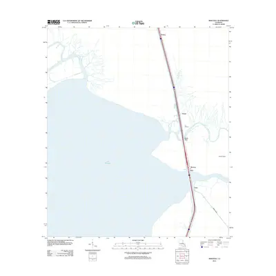 2012 Manchac2012 Print · USGSCoastal Tangipahoa Parish is seen here in the early 2010s, defined by the meeting of major river systems and the vast Lake Maurepas. Trace the historic transit corridor through Akers and Manchac PO, and locate industrial points like Port Manchac along the marshes.
 - 2012 Map of Mount Hermon, 2012 Print
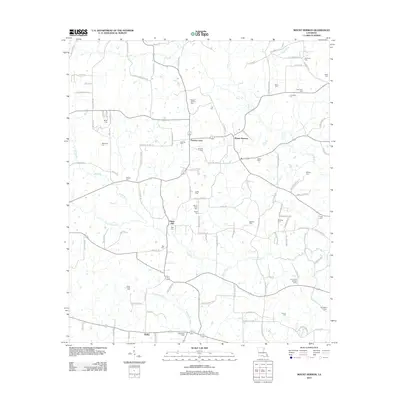 2012 Mount Hermon2012 Print · USGSLouisiana's north country comes alive in this modern survey of the communities near the Tchefuncte River. Genealogists and historians can trace family ties through dozens of local landmarks like Mount Hermon Cem, Sunny Hill, and the Sunny-Hill Lookout Tower.
 - 2012 Map of Robert, 2012 Print
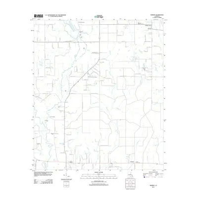 2012 Robert2012 Print · USGSTangipahoa Parish in the early 2010s reveals a landscape defined by small family settlements and numerous private airfields. Genealogists can trace family names through landmarks like Joiner Cem and Reid Cem or explore communities like Uneedus and Lorraine.
 - 2012 Map of Hammond, 2012 Print
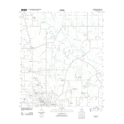 2012 Hammond2012 Print · USGSHammond and the surrounding Tangipahoa Parish landscape are captured here in the early twenty-first century as the university and regional airport expanded. Genealogists can locate family burial sites like Lanier Cemetery or Johnson Cemetery and trace early settlements like Tickfaw and Natalbany.
 - 2012 Map of Folsom, 2012 Print
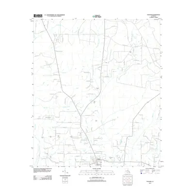 2012 Folsom2012 Print · USGSNorthern St. Tammany Parish comes into focus during the early twenty-first century, centered on the village of Folsom. Local historians can trace numerous family burial grounds and landmarks like Unicorn Airport, Hay Hollow Cem, and the headwaters of the Tchefuncte River.
 - 2012 Map of Kentwood, 2012 Print
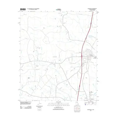 2012 Kentwood2012 Print · USGSUpper Tangipahoa Parish near the Mississippi border shows a landscape of deep-rooted family settlements and rural industries in the early 21st century. Genealogists can locate numerous family burial sites such as Amacker Cem and Woodland Cem, or trace the historical grounds of Camp Moore Confederate Cem.
 - 2012 Map of Roseland, 2012 Print
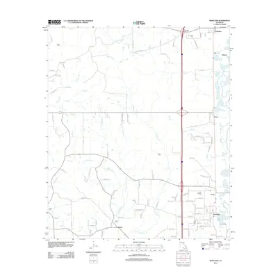 2012 Roseland2012 Print · USGSTangipahoa Parish in the early twenty-first century reveals a sequence of historic rail-aligned towns. Genealogists and historians can trace local family lineages through numerous sites including Arcola-Roseland Cem, Big Zion Cem, and the settlement of Kedron.
 - 2012 Map of Loranger, 2012 Print
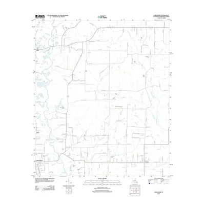 2012 Loranger2012 Print · USGSTangipahoa Parish in the early 2010s reveals a rural landscape defined by the winding Tangipahoa River and a rich collection of family burial grounds. Genealogists can trace local heritage at Cutrer Cem, Ford Cem, and Loranger Cem or locate the rural airfields of Skyline Airpark and Le Blanc Field Airport.
 - 2012 Map of Ponchatoula NE, 2012 Print
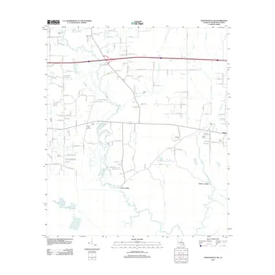 2012 Ponchatoula NE2012 Print · USGSTangipahoa Parish at the start of the 2010s shows a landscape deeply tied to its waterways and rural heritage. Researchers can locate family landmarks like Robertson Cem, trace the banks of the Tangipahoa River, and find old sites at Lees Landing.
 - 2012 Map of Ponchatoula, 2012 Print
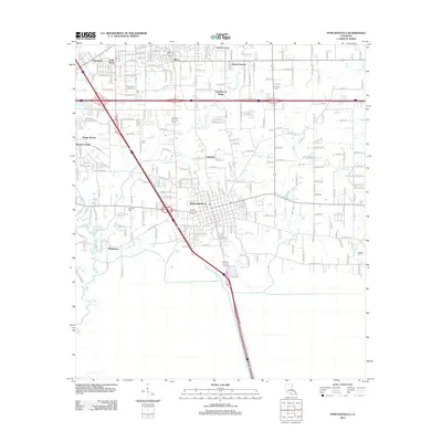 2012 Ponchatoula2012 Print · USGSPonchatoula and the surrounding Louisiana wetlands are captured here in the early twenty-first century as suburban growth follows the major interstate corridors. Genealogists and local historians can locate several family and community landmarks, including Wetmore Cem, Arnold Cem, and the settlement of Wadesboro.
 - 2012 Map of Covington SW, 2012 Print
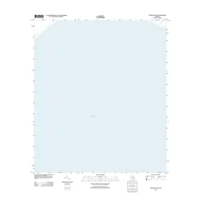 2012 Covington SW2012 Print · USGSCoastal Louisiana waters define this area in the early 2010s, focused on the northern reaches of the basin. Researchers can study the open-water geography and shoreline of Lake Pontchartrain as documented by the U.S. Geological Survey.
 - 2012 Map of Husser, 2012 Print
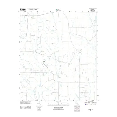 2012 Husser2012 Print · USGSTangipahoa Parish settlements and family cemeteries are documented here in the early twenty-first century. Genealogists can trace family names through sites like Saint Rock Cem and Olliphant Cem, while mapping the drainages of Chappepeela Cr and the Tchefuncte River.
 - 2012 Map of Wilmer, 2012 Print
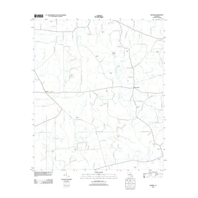 2012 Wilmer2012 Print · USGSTangipahoa Parish at the start of the 2010s reveals a deeply rooted rural landscape centered on the Tchefuncte River. Genealogists and local historians can trace family locations through numerous sites like Stoney Point, Brumfield Cem, and Sylvest Cem.
 - 2012 Map of Spanish Fort NE OE W, 2012 Print
 2012 Spanish Fort NE OE W2012 Print · USGSThe open waters of Jefferson Parish are documented here in the years following the turn of the century. Genealogists and historians can trace the path of the Lake Pontchartrain Causeway as it crosses the expanse of Lake Pontchartrain.
 - 2012 Map of Martinville, 2012 Print
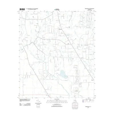 2012 Martinville2012 Print · USGSSt. Tammany Parish comes into focus during this early 21st-century survey of the north Covington area. Genealogists and local historians can trace family-named sites like Willie Cem, Bruhl Cem, and the historic banks of the Tchefuncte River.
 - 2012 Map of Killian, 2012 Print
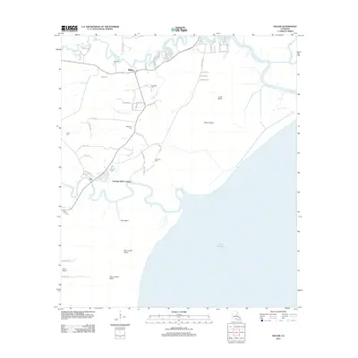 2012 Killian2012 Print · USGSLivingston Parish at the start of the 2010s reveals a water-bound landscape defined by the confluence of the Amite River and Tickfaw River. Local historians can trace old homesteads and landings from Clio to Carthage Bluff Landing or locate family markers at Bethlehem Cem.
 - 2012 Map of Madisonville, 2012 Print
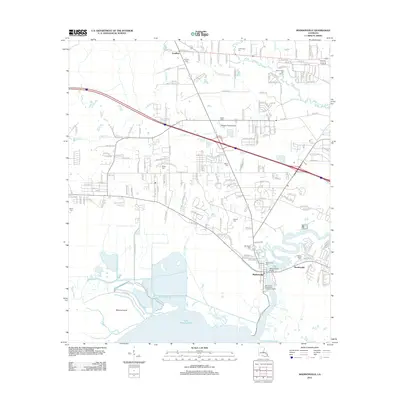 2012 Madisonville2012 Print · USGSMadisonville and the northern shores of Lake Pontchartrain are captured here in the early twenty-first century. Genealogists can locate several historic burial grounds including Wager Cem and Galatas Cem along the winding Black River.
 - 2012 Map of Albany, 2012 Print
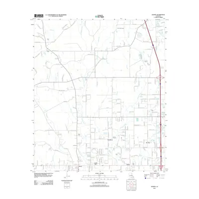 2012 Albany2012 Print · USGSTangipahoa Parish in the early 2000s reveals a landscape where rural settlements like Baptist and Albany are still deeply rooted in their river-valley history. Researchers can trace numerous local heritage sites, including Zion Hill Cem, Gamble Spur, and Kin Tally.
 - 2012 Map of Spring Creek, 2012 Print
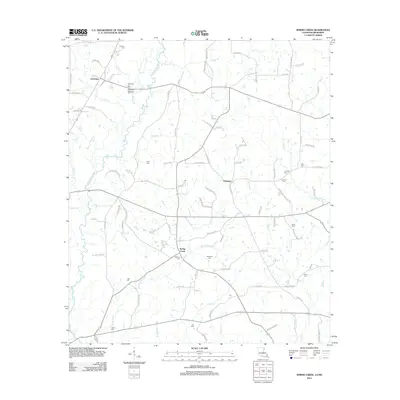 2012 Spring Creek2012 Print · USGSTangipahoa Parish near the Mississippi border is documented here in the early twenty-first century. Genealogists and local historians can trace family ties through numerous sites like Cutrer Cem, Mixon Cem, and the Greenlaw Oil Field.
 - 2012 Map of Springfield, 2012 Print
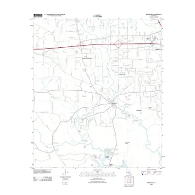 2012 Springfield2012 Print · USGSThe Hungarian heritage and riverine commerce of Tangipahoa Parish are visible in this early twenty-first-century study. Researchers can trace family roots through the Hungarian Settlement and locate historic points like Blockade Landing and Rome Ferry Bridge.
 - 2012 Map of Amite, 2012 Print
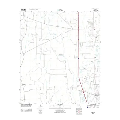 2012 Amite2012 Print · USGSTangipahoa Parish is captured here during a period of modern growth and rural continuity. Genealogists and local historians can trace family locations through sites like Bennett Cem, McMichael Cem, and the Bickham Chapel congregation.
 - 2012 Map of Chesbrough, 2012 Print
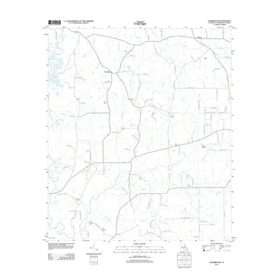 2012 Chesbrough2012 Print · USGSTangipahoa Parish in the early twenty-first century reveals a rural landscape deeply connected to family heritage and the Tangipahoa River. Genealogists can trace family landmarks like Old Bankston Cem and Goodbee Cem near the Wilmer Oil Field.
 - 2012 Map of Ponchatoula SE, 2012 Print
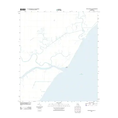 2012 Ponchatoula SE2012 Print · USGSTangipahoa Parish coastal marshlands are depicted in 2012 as a complex network of waterways meeting the open lake. Trace the navigational history of Pass Manchac and locate the Pass Manchac Lighthouse alongside local bayous like Stinking Bayou and Mays Bayou.
 - 2012 Map of Progress, 2012 Print
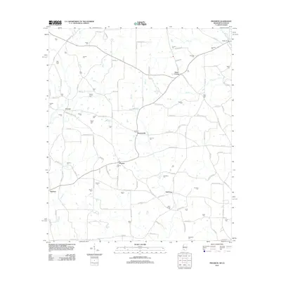 2012 Progress2012 Print · USGSSouthern Pike County at the start of the decade reveals a dense network of family-named settlements and landmarks near the Louisiana line. Genealogists can trace hundreds of family sites like Brumfield Cem, Simmonsville, and Bala Chitto Cem.
 - 2012 Map of Osyka, 2012 Print
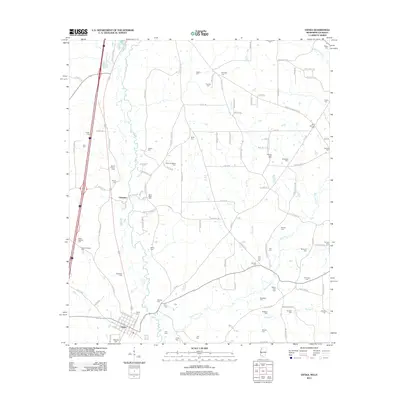 2012 Osyka2012 Print · USGSThe Mississippi-Louisiana border comes alive in this contemporary survey of Osyka and Chatawa as they appeared in the early 2010s. Genealogists can locate dozens of family burial sites, from Alton Roberts Cem to the remote Bluff Springs Cem along the Bala Chitto Cr.
Showing maps 1-25 of 125
Top cities of Tangipahoa Parish
- Hammond historical maps
- Ponchatoula historical maps
- Kentwood historical maps
- Independence historical maps
- Roseland historical maps
- Tangipahoa historical maps
See more
Frequently asked questions
- What are the different types of historical maps available for Tangipahoa Parish?
- What is the oldest map of Tangipahoa Parish?
- Where can I purchase historical maps of Tangipahoa Parish for my home or office?
- Where can I download high-res historical maps of Tangipahoa Parish?
- Are there historical topographic maps available for Tangipahoa Parish?
- Is there historical aerial imagery available for Tangipahoa Parish?
- Where are historical maps of Tangipahoa Parish sourced from?