2010s Maps of Tensas Parish, Louisiana
Explore 63 historic maps of Tensas Parish from the 2010s. These maps offer a rare glimpse into what life looked like during the 2010s — showing old roads, neighborhoods, homes, and landmarks that have changed or disappeared over time.
Whether you're researching your family's past, planning a metal detecting trip, or studying how Tensas Parish's landscape evolved across the 2010s, these high-resolution maps are a powerful tool for exploring the history of this region.
- Focus on a specific era: All maps on this page are from the 2010s, giving you a focused view of this time period.
- See what’s changed: Compare century-old streets, trails, and buildings to today's modern landscape using overlays and satellite layers.
- Research with precision: Use these maps for genealogy, historical research, land use analysis, or educational projects.
- View, download, or print: Maps are fully viewable online in high resolution, and can be downloaded or printed for your own records.
Start exploring Tensas Parish's history through authentic maps from the 2010s. This is your window into the past.
Tensas Parish, LA maps
(63)- 2012 Map of Gretna Green, 2012 Print
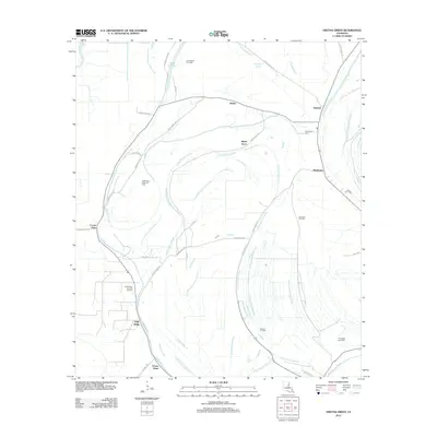 2012 Gretna Green2012 Print · USGSTensas Parish in the early 2010s reveals a landscape where old settlements meet a busy energy economy. Genealogists and local historians can locate Mayflower Cem and trace the footprints of communities like Gretna Green and Justina.
 - 2012 Map of Oakley, 2012 Print
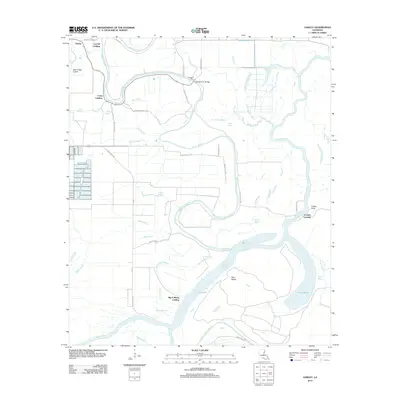 2012 Oakley2012 Print · USGSFranklin Parish river life and bottomland geography are detailed in this recent survey. Researchers can trace historical water access points like Big A Plenty Landing and Craig Landing or locate the old crossing at Kendrick Ferry.
 - 2012 Map of Spokane, 2012 Print
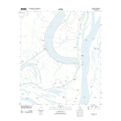 2012 Spokane2012 Print · USGSThe oxbows and river landings of the Louisiana-Mississippi border come into sharp focus in this recent survey. Genealogists and historians can trace family locations near Gibson Landing, Saint Mary Cem, and the old settlement at Spokane.
 - 2012 Map of Lake Bruin, 2012 Print
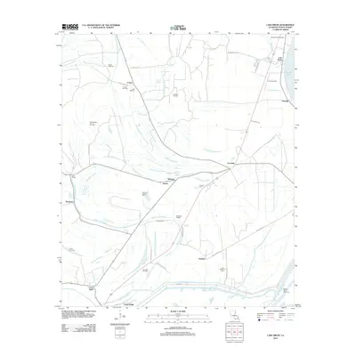 2012 Lake Bruin2012 Print · USGSTensas Parish at the start of the 2010s reveals a landscape defined by Bayou drainage and a robust energy industry. Genealogists and local historians can locate several rural burial grounds such as Oneonta Cem and Thistle Ridge Cem, or trace the development of the Crimea Gas Field.
 - 2012 Map of Waterproof, 2012 Print
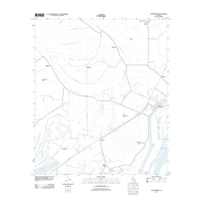 2012 Waterproof2012 Print · USGSTensas Parish in the early twenty-first century reveals a landscape shaped by the Mississippi River and a complex bayou network. Researchers can trace the town of Waterproof and find family-named landmarks like Winona Cem or the Helena Oil Field.
 - 2012 Map of Foules, 2012 Print
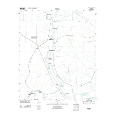 2012 Foules2012 Print · USGSThe riverfront landings of Catahoula Parish are captured here during the early twenty-first century, showing a landscape defined by the Tensas River. Genealogists and local historians can trace family-named sites like Kirks Landing or locate New Light Cem and Powells Cem.
 - 2012 Map of Saint Joseph, 2012 Print
 2012 Saint Joseph2012 Print · USGSThe Mississippi River borderlands between Louisiana and Mississippi come into focus in the early 2010s. Genealogists and historians can trace the grounds of Alcorn State University, locate ancient Windsor Mounds, or explore the riverfront landings of Saint Joseph.
 - 2012 Map of Grand Gulf, 2012 Print
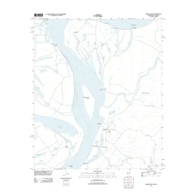 2012 Grand Gulf2012 Print · USGSThe Mississippi River's powerful meander through Claiborne County is captured here in the early twenty-first century. Researchers can trace the riverfront history of Grand Gulf and locate local landmarks like Grand Gulf Cem, Allen, and several historic river landings.
 - 2012 Map of Rodney, 2012 Print
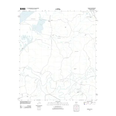 2012 Rodney2012 Print · USGSNear the banks of the Mississippi River, this 2012 survey shows a landscape defined by riverside settlements and active energy production. Researchers can trace historic family sites at Rodney Cem and Griffin Cem or explore the geography of the Rodney Island Oil Field and the Natchez Trace Pkwy.
 - 2012 Map of Widows Creek, 2012 Print
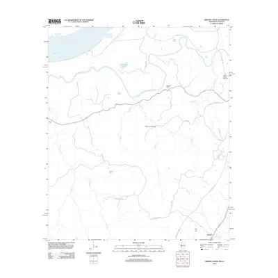 2012 Widows Creek2012 Print · USGSCoastal Mississippi and Louisiana wetlands are documented here in the early twenty-first century as Bayou Pierre meets the Mississippi River. Genealogists can locate family burial sites at Daniell Cem or Holly Hill Cem and trace the modern Natchez Trace Pkwy near Russum.
 - 2012 Map of Westwood, 2012 Print
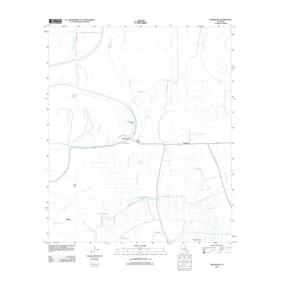 2012 Westwood2012 Print · USGSLouisiana's delta country is captured here in the early 21st century, showing a landscape defined by the winding Tensas River. Researchers can trace historic river crossings at Flowers Ferry and explore the rural settlements of Westwood and Wildcat.
 - 2012 Map of Newlight, 2012 Print
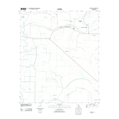 2012 Newlight2012 Print · USGSTensas Parish at the start of the 2010s reveals a landscape deeply intertwined with the river and the oil industry. Researchers can trace the riverfront at Remolina Landing and Glade Bayou Landing or locate remote energy sites like the Lake Formosa Oil Field.
 - 2012 Map of Tensas Bluff, 2012 Print
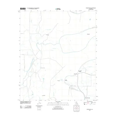 2012 Tensas Bluff2012 Print · USGSTensas Parish in the early twenty-first century remains a landscape defined by the winding Tensas River and active energy extraction. Genealogists and local historians can locate riverfront sites like Tensas Bluff Landing, the Jordan Cem, and numerous energy sites such as the West New Quarters Oil Field.
 - 2012 Map of Newellton, 2012 Print
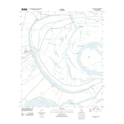 2012 Newellton2012 Print · USGSTensas Parish life centers around the great oxbow of Lake Saint Joseph in this recent survey of the Louisiana delta. Genealogists and local historians can trace legacy sites from the town of Newellton to rural landmarks like Saint Matthew Cem and Yucatan Landing.
 - 2012 Map of Saranac, 2012 Print
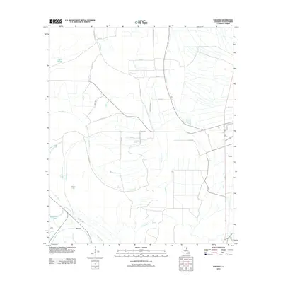 2012 Saranac2012 Print · USGSTensas Parish at the start of the 2010s reveals a water-rich landscape defined by bayous and rural settlements. Genealogists and historians can trace family-named landmarks and infrastructure such as the Newell Cem, the Justina Gas Field, and Saranac.
 - 2012 Map of Como, 2012 Print
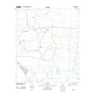 2012 Como2012 Print · USGSLouisiana's delta country is defined here by the winding Bayou Macon and its many historic river access points. Genealogists and local historians can trace the locations of State Place Cemetery, the settlement of Como, and several landings like Dickey Landing.
 - 2012 Map of Crowville, 2012 Print
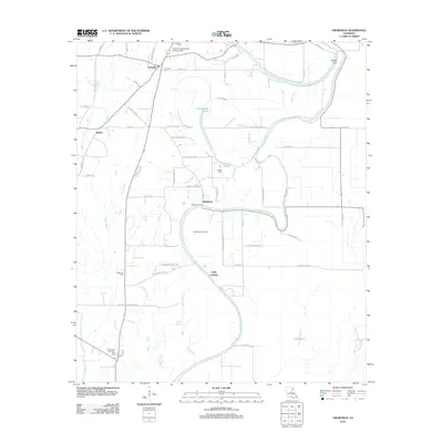 2012 Crowville2012 Print · USGSFranklin Parish is captured here in the early twenty-first century, a landscape shaped by the meanders of Bayou Macon. Genealogists and researchers can trace rural life through family-named landmarks and sites like Crowville Cem, Chelly Landing, and the Egypt Ferry Gas Field.
 - 2012 Map of Somerset, 2012 Print
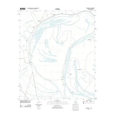 2012 Somerset2012 Print · USGSThe river borderlands of Warren County are revealed in the early twenty-first century as a maze of oxbows and plantations. Genealogists and historians can trace family locations near Hapaca Plantation, Somerset Cem, and the riverfront at Somerset Landing.
 - 2012 Map of Bedford, 2012 Print
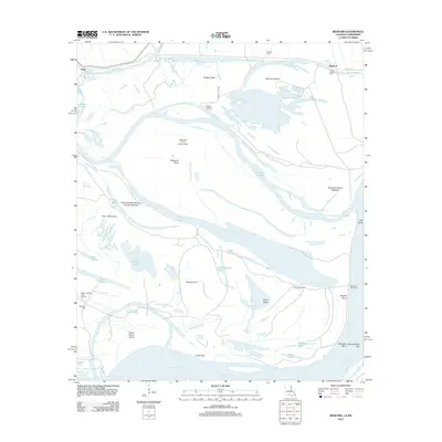 2012 Bedford2012 Print · USGSThe Louisiana-Mississippi river border is captured here in 2012, showing a landscape of massive islands and shifting chutes. Genealogists and local historians can trace burial sites like Crystal Springs Cem and landings such as Kellogg Landing or Hodge Landing.
 - 2012 Map of Pine Ridge, 2012 Print
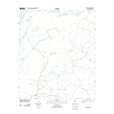 2012 Pine Ridge2012 Print · USGSAdams County’s river bluffs and oil-rich bottomlands are captured here in the early twenty-first century. Genealogists and local historians can trace family landmarks like Painters Cem, Shields Cem, and the old crossroads at Pine Ridge or Anna.
 - 2012 Map of Chamblee, 2012 Print
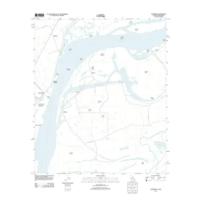 2012 Chamblee2012 Print · USGSThe shifting bends of the Mississippi River define this borderland between Louisiana and Mississippi during the early 21st century. Genealogists and local historians can locate old river landings like Goldman Landing and Buena Vista Landing or trace oil field operations at Rodney Island Oil Field.
 - 2015 Map of Crowville, 2015 Print
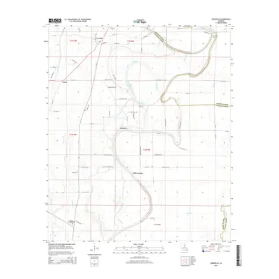 2015 Crowville2015 Print · USGSFranklin Parish in the mid-2010s reveals a landscape of alluvial bayous and quiet landings along the meandering Bayou Macon. Genealogists and local historians can trace family roots at Magnolia Cem, Crowville Cem, and the small community of Swampers.
 - 2015 Map of Newellton, 2015 Print
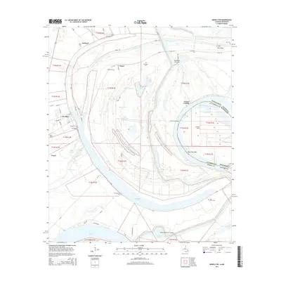 2015 Newellton2015 Print · USGSTensas Parish and the Mississippi River borderlands come alive in this study of the delta landscape. Genealogists can trace family names and local history through Newellton Cem, Saint Antioch Cem, and landmarks like Yucatan Landing.
 - 2015 Map of Newlight, 2015 Print
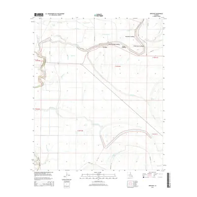 2015 Newlight2015 Print · USGSTensas Parish and the adjacent bottomlands are seen here in the mid-2010s, defined by the winding course of the Tensas River. Genealogists and local historians can trace the sites of historic river access at Ferry Newlight Landing, Pecan Landing, and the settlement of Newlight.
 - 2015 Map of Westwood, 2015 Print
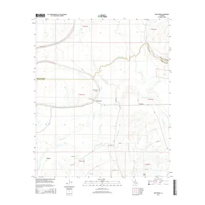 2015 Westwood2015 Print · USGSTensas Parish and Madison Parish are captured here in the mid-2010s, showcasing a landscape defined by the winding Tensas River and its intricate bayous. Genealogists and local historians can trace family land near Westwood, Wildcat, and the ridges along Cypress Bayou.
Showing maps 1-25 of 63
Top cities of Tensas Parish
Frequently asked questions
- What are the different types of historical maps available for Tensas Parish?
- What is the oldest map of Tensas Parish?
- Where can I purchase historical maps of Tensas Parish for my home or office?
- Where can I download high-res historical maps of Tensas Parish?
- Are there historical topographic maps available for Tensas Parish?
- Is there historical aerial imagery available for Tensas Parish?
- Where are historical maps of Tensas Parish sourced from?