2020s Maps of Muscle Ridge Township, Maine
Explore 8 historic maps of Muscle Ridge Township from the 2020s. These maps offer a rare glimpse into what life looked like during the 2020s — showing old roads, neighborhoods, homes, and landmarks that have changed or disappeared over time.
Whether you're researching your family's past, planning a metal detecting trip, or studying how Muscle Ridge Township's landscape evolved across the 2020s, these high-resolution maps are a powerful tool for exploring the history of this region.
- Focus on a specific era: All maps on this page are from the 2020s, giving you a focused view of this time period.
- See what’s changed: Compare century-old streets, trails, and buildings to today's modern landscape using overlays and satellite layers.
- Research with precision: Use these maps for genealogy, historical research, land use analysis, or educational projects.
- View, download, or print: Maps are fully viewable online in high resolution, and can be downloaded or printed for your own records.
Start exploring Muscle Ridge Township's history through authentic maps from the 2020s. This is your window into the past.
Muscle Ridge Township, ME maps
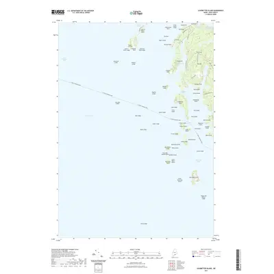
(8)- 2021 Map of Hewett Island, 2021 Print
 2021 Hewett Island2021 Print · USGSCovers Muscle Ridge Township, including Saint George, South Thomaston, and other nearby areas
 - 2021 Map of Matinicus OE NW, 2021 Print
 2021 Matinicus OE NW2021 Print · USGSCovers Muscle Ridge Township, including Vinalhaven, Matinicus Isle Plantation, and other nearby areas
 - 2021 Map of Leadbetter Island, 2021 Print
 2021 Leadbetter Island2021 Print · USGSCovers Muscle Ridge Township, including Owls Head, Vinalhaven, and other nearby areas
 - 2021 Map of Rockland, 2021 Print
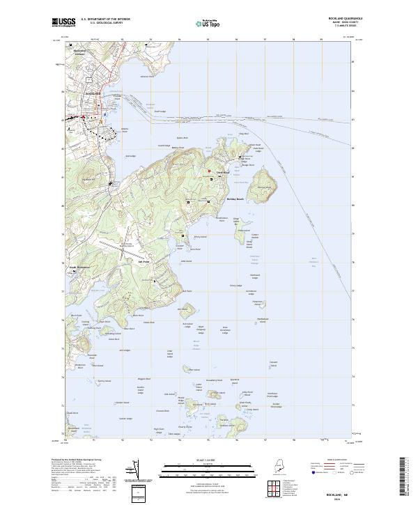
 2021 Rockland2021 Print · USGSCovers Muscle Ridge Township, including Rockland, Rockport, and other nearby areas
 - 2024 Map of Rockland, 2024 Print
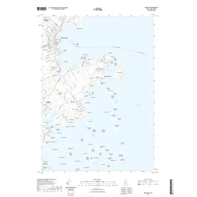
 2024 Rockland2024 Print · USGSCoastal Knox County comes alive in this survey of the mid-2020s, detailing the busy maritime corridors and peninsula settlements of the Rockland area. Researchers can trace land tracts and family lineage through numerous sites like Seaview Cem, Ash Point, and the Neal Burgess Ferry routes.
 - 2024 Map of Matinicus OE NW, 2024 Print
 2024 Matinicus OE NW2024 Print · USGSThe Knox County coast is charted in this modern survey, capturing the vital maritime transit routes of the Maine archipelago. Maritime researchers can trace the course of the Everett Libby Ferry and locate remote outposts like Two Bush Island and Seal Ledges.
 - 2024 Map of Hewett Island, 2024 Print
 2024 Hewett Island2024 Print · USGSThe Knox County coast is revealed in this contemporary survey of the Muscle Ridge archipelago during the 2020s. Researchers can trace maritime landmarks and protected lands from Sprucehead Island to the Petit Manan National Wildlife Refuge and Hewett Island.
 - 2024 Map of Leadbetter Island, 2024 Print
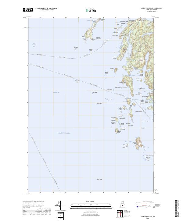 2024 Leadbetter Island2024 Print · USGSCoastal life on North Haven Island in the early twenty-first century is defined by its ferries and complex island geography. You can trace the historic water routes of the Neal Burgess Ferry and locate local landmarks like Dyer Pond or the heights of Mid Mtn.
End of results
Showing maps 1-8 of 8
Top cities near Muscle Ridge Township
- Rockland historical maps
- Warren historical maps
- Camden historical maps
- Rockport historical maps
- Thomaston historical maps
- Saint George historical maps
See more
Frequently asked questions
- What are the different types of historical maps available for Muscle Ridge Township?
- What is the oldest map of Muscle Ridge Township?
- Where can I purchase historical maps of Muscle Ridge Township for my home or office?
- Where can I download high-res historical maps of Muscle Ridge Township?
- Are there historical topographic maps available for Muscle Ridge Township?
- Is there historical aerial imagery available for Muscle Ridge Township?
- Where are historical maps of Muscle Ridge Township sourced from?