Old Maps of Mount Chase, Maine for Genealogy
Trace your family roots with 36 historic maps of Mount Chase. These high-res maps reveal old neighborhoods, homesites, landmarks, and streets — helping you uncover where your ancestors lived and how the area evolved over time.
- Explore historic neighborhoods: Identify where your relatives may have lived in the 1800s or 1900s.
- Compare maps over time: Trace the changes in streets, buildings, and landmarks for multi-generational research.
- Perfect for genealogy & ancestry research: Used by family historians and researchers to map out lineage and migration.
These maps are an incredible resource for exploring your personal connection to Mount Chase's past.
Mount Chase, ME maps
(36)- 1940 Map of Island Falls, 1957 Print
 1940 Island Falls1957 Print · USGSThe river-and-rail landscape of southern Aroostook County is captured here in the years before the war. Researchers can trace the exact locations of numerous rural schoolhouses like Allsbury Sch and Myrick Sch or locate the Bangor and Aroostook RR through Island Falls.4 unique versions available
 - 1942 Map of Island Falls
 1942 Island Falls1942 Print · USGSNorthern Maine's timber and rail frontier comes into focus in the early 1940s as the Bangor and Aroostook RR connects the woods to the world. Genealogists and historians can trace numerous rural schoolhouses like Rockabema Sch and the storied Patten Academy among the hills of Mount Chase.
 - 1954 Map of Shin Pond, 1956 Print
 1954 Shin Pond1956 Print · USGSThe Maine North Woods in the 1950s remained a landscape of isolated timber farms and sporting camps. Researchers can trace the early logging infrastructure and river camps at Seboeis Farm, Bowlin Camps, and the settlement at Allsbury.4 unique versions available
 - 1954 Map of Presque Isle, 1968 Print
 1954 Presque Isle1968 Print · USGSNorth Woods logging and rail history come alive in this mid-century survey of the Maine-Quebec borderlands. Genealogists and historians can trace the Bangor and Aroostook railroad through timber hubs like Ashland, Smyrna Mills, and Presque Isle.2 unique versions available
 - 1958 Map of Presque Isle
 1958 Presque Isle1958 Print · USGSThe Aroostook timber and potato country is captured here during the late fifties, showing the vital rail-to-river network of Northern Maine. Genealogists and historians can trace the Bangor & Aroostook RR through Mapleton and Ashland, or locate remote sites like Chamberlain Farm and Seven Islands.
 - 1960 Map of Presque Isle
 1960 Presque Isle1960 Print · USGSNorthern Maine during the mid-century was a land of timber, rails, and strategic airfields. Genealogists and historians can trace the growth of Presque Isle and Ashland or explore the remote northern reaches of Baxter State Park and Presque Isle AFB.3 unique versions available
 - 1975 Map of Island Falls SW, 1980 Print
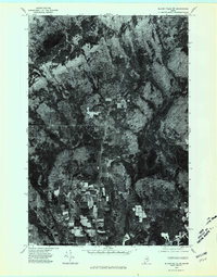 1975 Island Falls SW1980 Print · USGSPenobscot County timberlands and farms are captured here in the mid-1970s through high-altitude aerial photography. Researchers can trace land-use patterns and property boundaries near Patten and Halls Corner, or locate landmarks like Crystal Lake.
 - 1975 Map of Shin Pond NE, 1980 Print
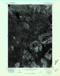 1975 Shin Pond NE1980 Print · USGSThe deep Maine woods in northern Penobscot County appear in this mid-seventies orthophotograph, capturing a remote landscape shaped by timber and water. Researchers can trace the winding course of the Seboeis River and a small Brook through the dense forest canopy.
 - 1975 Map of Island Falls NW, 1980 Print
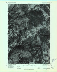 1975 Island Falls NW1980 Print · USGSThe Maine woods near Island Falls are captured in the mid-1970s via high-altitude aerial photography. Trace the literal shorelines of Rockabema Lake and Pleasant Lake or locate the remote peaks of Green Mtn and Pickett Mtn.
 - 1975 Map of Shin Pond SE, 1980 Print
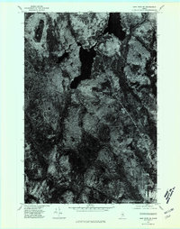 1975 Shin Pond SE1980 Print · USGSPenobscot County timberlands are seen from the air in the mid-1970s, providing a clear visual record of the Maine wilderness. Researchers can trace the exact shorelines of Shin Pond and the winding network of early logging roads through the deep forest.
 - 1985 Map of Oakfield
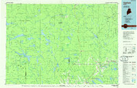 1985 Oakfield1985 Print · USGSAroostook County in the 1980s displays a balance between the timber-and-rail industry and the protected wilderness of the North Woods. Genealogists and local historians can trace family-named hubs like Smyrna Mills, Island Falls, and Knowles Corner along the Bangor and Aroostook railroad line.
 - 1986 Map of Mount Chase
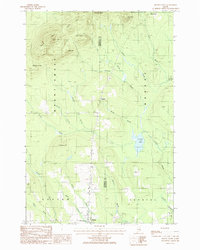 1986 Mount Chase1986 Print · USGSThe North Woods of Maine are captured here in the mid-1980s, showcasing the high-elevation terrain around Mount Chase and the village of Patten. Researchers can locate family landmarks at Halls Corner, the local Cem, and small settlements like Hersey and Houston.
 - 1986 Map of Shin Pond
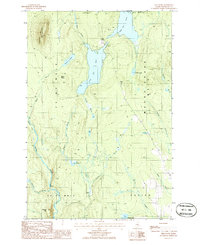 1986 Shin Pond1986 Print · USGSPenobscot County’s wilderness is captured in the mid-1980s, centered on the waterway connecting Upper Shin Pond and Lower Shin Pond. Researchers can trace the timber-rich terrain of M O U N T C H A S E and landmarks like Sugarloaf Mountain and Peaked Mtn.2 unique versions available
 - 1986 Map of Hay Brook Mtn
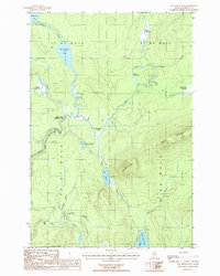 1986 Hay Brook Mtn1986 Print · USGSPenobscot County in the mid-1980s was a landscape of remote river camps and timber tracts. Researchers can trace the winding Seboeis River through the Upper Seboeis River Gorge and locate remote outposts like Hay Brook Farm.
 - 1986 Map of Green Mountain
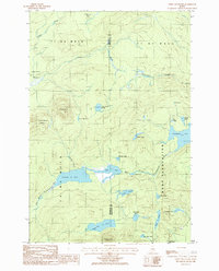 1986 Green Mountain1986 Print · USGSThe Maine wilderness at the border of Penobscot and Aroostook counties is documented here in the mid-1980s. Researchers can trace remote logging routes and water systems including Rockabema Lake, Pleasant Lake, and the small settlement at Halls Corner.
 - 1994 Map of Oakfield
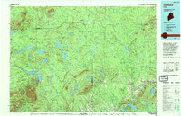 1994 Oakfield1994 Print · USGSAroostook County's North Woods and rural settlements are shown here in the mid-1990s, capturing the region's transition from forest to farmland. Trace the path of the Bangor and Aroostook RR through Smyrna Mills or locate landings on Millinocket Lake.
 - 2011 Map of Mount Chase, 2011 Print
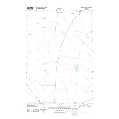 2011 Mount Chase2011 Print · USGSMount Chase and the surrounding Maine wilderness are captured here during a period of active timber management and rural living. Researchers can trace the path of Mcmanus Tote Rd, identify local landmarks like Halls Corner, or locate the Peasley Brook Dam near the southern edge of the sheet.
 - 2011 Map of Shin Pond, 2011 Print
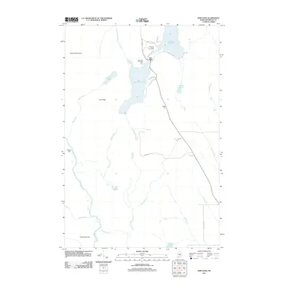 2011 Shin Pond2011 Print · USGSShin Pond and its surrounding timberlands are captured here in the early twenty-first century as a hub for backcountry aviation and northern recreation. Researchers can trace the layout of Shin Pond, the Shin Pond Seaplane Base, and landmarks like Sugarloaf Mountain.
 - 2011 Map of Hay Brook Mountain, 2011 Print
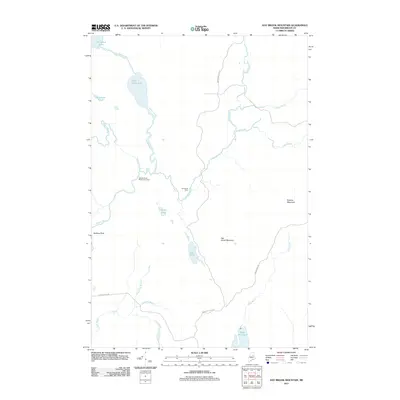 2011 Hay Brook Mountain2011 Print · USGSPenobscot County’s interior river valleys and peaks are documented here in the early twenty-first century. Researchers can trace remote outpost locations like Hay Brook Farm or navigate the waterways of Snowshoe Lake and Shin Falls.
 - 2011 Map of Green Mountain, 2011 Print
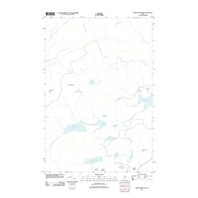 2011 Green Mountain2011 Print · USGSThe North Woods of Penobscot County are captured here in the early 2000s, showing a vast network of waterways and timberlands. Local historians can trace the geography around Halls Corner and the course of the West Branch Mattawamkeag River past Pleasant Lake.
 - 2014 Map of Green Mountain, 2014 Print
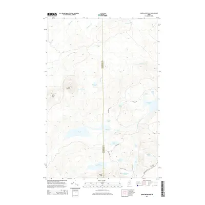 2014 Green Mountain2014 Print · USGSThe Penobscot and Aroostook county line meets in this 2014 survey of Maine's northern timberlands and glacial lakes. Researchers can trace the Aroostook Scenic Hwy corridor to find the Marley Bradford Cem or follow forest tracks to Rockabema Lake.
 - 2014 Map of Mount Chase, 2014 Print
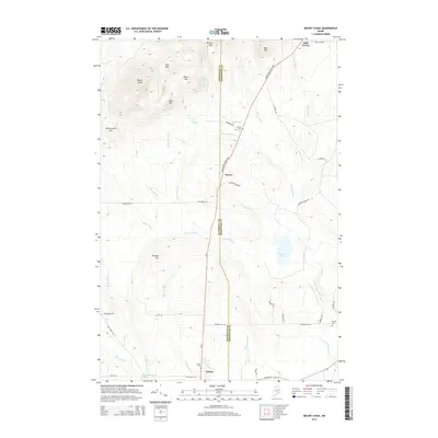 2014 Mount Chase2014 Print · USGSThe town of Patten and the high summits of the Maine woods are captured here during the early twenty-first century. Researchers can trace rural cemeteries such as Hersey Cem and Crystal Cem or follow the path of the Aroostook Scenic Hwy past Mount Chase.
 - 2014 Map of Hay Brook Mountain, 2014 Print
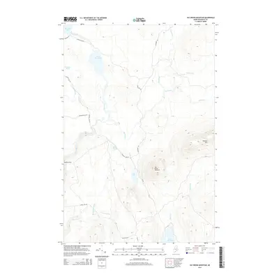 2014 Hay Brook Mountain2014 Print · USGSPenobscot County’s deep woods and waterways are captured here during the early twenty-first century. Outdoor historians and researchers can trace traditional Maine travel routes like the Matagamon Tote Rd and locate landmarks such as Shin Falls and Tiger Rips.
 - 2014 Map of Shin Pond, 2014 Print
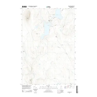 2014 Shin Pond2014 Print · USGSNorthern Maine's lake country is captured here during the early twenty-first century, centered on the recreational and timber lands of Penobscot County. Researchers can map out shoreline developments and family camps along Upper Shin Pond or trace the drainages of Fish Stream and Sugarloaf Mtn.
 - 2018 Map of Mount Chase, 2018 Print
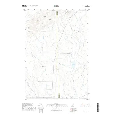 2018 Mount Chase2018 Print · USGSThe borderlands of Penobscot and Aroostook counties are captured in this modern survey of the Patten area. Researchers can trace local lineage at Patten Cem and Crystal Cem, or explore the network of timber-related routes like MCMANUS TOTE RD and CHAMPION PAPER RD.
Showing maps 1-25 of 36
Top cities near Mount Chase
- Patten historical maps
- Sherman historical maps
- Island Falls historical maps
- Stacyville historical maps
- Crystal historical maps
- Dyer Brook historical maps
See more
Top neighborhoods of Mount Chase
Frequently asked questions
- What are the different types of historical maps available for Mount Chase?
- What is the oldest map of Mount Chase?
- Where can I purchase historical maps of Mount Chase for my home or office?
- Where can I download high-res historical maps of Mount Chase?
- Are there historical topographic maps available for Mount Chase?
- Is there historical aerial imagery available for Mount Chase?
- Where are historical maps of Mount Chase sourced from?