Old Maps of Atkinson Township, Maine for Academic Research
Study the evolution of Atkinson Township with 47 high-resolution historic maps. Whether you're teaching, researching, or modeling changes in land use, these maps provide essential visual documentation of urban, environmental, and geographic change.
- Analyze long-term change: Track patterns in development, transportation, and natural features.
- Ideal for environmental or urban studies: Support academic projects with primary historical map data.
- Use in the classroom or lab: Educators and researchers rely on these maps to bring historical context to life.
These maps are a powerful tool for teaching, research, and visualizing how Atkinson Township has changed over the decades.
Atkinson Township, ME maps
(47)- 1932 Map of Dover-Foxcroft
 1932 Dover-Foxcroft1932 Print · USGSPiscataquis and Penobscot counties are shown here in the early 1930s, a landscape defined by the Piscataquis River and rail-fed mill towns. Genealogists can trace family names through dozens of rural landmarks like Hurd Corner, Gould Cemetery, and the Higgins Classical Institute.4 unique versions available
 - 1933 Map of Boyd Lake
 1933 Boyd Lake1933 Print · USGSPenobscot County communities and the Piscataquis River valley are captured here in the early thirties as the railroad remained the lifeblood of rural Maine. Local historians can trace numerous family-named landmarks and district schoolhouses like Knowles Sch, Ridge Sch, and the Huntington Mill works.
 - 1935 Map of Dover-Foxcroft
 1935 Dover-Foxcroft1935 Print · USGSThe Piscataquis River valley of central Maine is shown here in the 1930s, centered on the mill town of Dover-Foxcroft. Genealogists can trace family names at Rollins Mill, Foss Cem, and dozens of rural schoolhouses like Morrison Sch.2 unique versions available
 - 1951 Map of Boyd Lake
 1951 Boyd Lake1951 Print · USGSPenobscot and Piscataquis Counties are captured here in the early 1950s, showing a landscape of timber-rail economies and scattered rural schoolhouses. Genealogists can trace family footprints at Bradford Center, the Hoxie Sch, or along the Bangor and Aroostook rail line.
 - 1954 Map of Millinocket, 1968 Print
 1954 Millinocket1968 Print · USGSMaine's North Woods and the Penobscot Valley are captured here during the mid-century era of logging and rail dominance. You can trace the path of the Bangor and Aroostook Railroad through timber towns like Millinocket, Mattawamkeag, and Silver Ridge.3 unique versions available
 - 1955 Map of Boyd Lake, 1956 Print
 1955 Boyd Lake1956 Print · USGSPenobscot and Piscataquis counties are captured here in the mid-fifties as the rail-and-river economy supported towns like Milo and Derby. Genealogists can locate family landmarks such as the Orneville Sch, Williams Cem, and the Bradford High Sch.4 unique versions available
 - 1958 Map of Millinocket
 1958 Millinocket1958 Print · USGSMaine's North Woods and the Penobscot river valley are captured here in the mid-1950s, showing a landscape of timber, rail, and wild waters. Researchers can trace the legacy of the Canadian Pacific railroad and find historic settlements like Millinocket, Sherman Station, and Mattawamkeag.
 - 1960 Map of Millinocket
 1960 Millinocket1960 Print · USGSThe Maine North Woods and Penobscot River valley are captured at mid-century during the height of the paper milling era. Researchers can trace the Appalachian Trail near Mount Katardin or locate family roots in towns like Dover-Foxcroft and Milo.3 unique versions available
 - 1975 Map of Dover-Foxcroft NW, 1980 Print
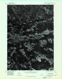 1975 Dover-Foxcroft NW1980 Print · USGSPiscataquis County's river valley and rural crossroads are captured in this mid-seventies aerial survey. Researchers can trace the layout of historic settlements like Dover-Foxcroft and East Dover or locate family-named intersections such as Goffs Corner.
 - 1975 Map of Dover-Foxcroft SE, 1980 Print
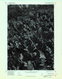 1975 Dover-Foxcroft SE1980 Print · USGSCentral Maine agriculture and woodland are captured in the mid-seventies via aerial imagery. Researchers can trace rural property lines and historic crossroads like Hicks Corner, Rollins Mill, and West Charleston.
 - 1975 Map of Dover-Foxcroft NE, 1980 Print
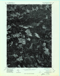 1975 Dover-Foxcroft NE1980 Print · USGSPiscataquis County timberland and river settlements are captured in high-contrast detail during the mid-seventies. Local historians can trace the clearings of South Sebec and the small industrial footprint at Atkinson Mills along the riverbanks.
 - 1975 Map of Bradford, 1981 Print
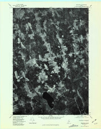 1975 Bradford1981 Print · USGSPenobscot County agriculture and woodlands are shown in detail during the mid-seventies in this aerial-based survey. Researchers can trace rural property lines and homestead footprints near Bradford, Bradford Center, and the banks of Little Pushaw Pond.
 - 1978 Map of Milo South, 1981 Print
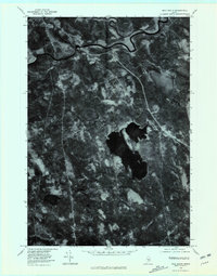 1978 Milo South1981 Print · USGSPiscataquis County, Maine, is seen here in the late seventies as a landscape defined by its river confluences and timberlands. Genealogists and historians can trace the footprints of Milo and Derby or locate rural landmarks like Stores Corner and Boyd Lake.
 - 1983 Map of Milo South, 1984 Print
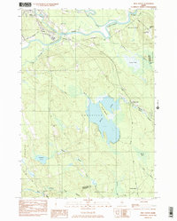 1983 Milo South1984 Print · USGSSouthern Piscataquis County in the early 1980s reveals a landscape of railroad junctions and river valleys. Genealogists and local historians can trace the B & A line through Derby or locate ancestral sites like Orneville Cem and Storers Corner.
 - 1983 Map of Dover-Foxcroft, 1984 Print
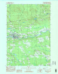 1983 Dover-Foxcroft1984 Print · USGSDover-Foxcroft and its surrounding townships are shown in the early eighties as the regional hub of Piscataquis County. Genealogists can locate family names and burial sites at Lee Cem and McAllister Cem, or trace the path of the Maine Central railroad.2 unique versions available
 - 1983 Map of South Sebec, 1984 Print
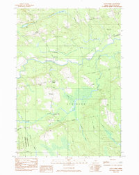 1983 South Sebec1984 Print · USGSPiscataquis County remains a patchwork of riverfront settlements and managed woodlands in the early eighties. Genealogists and local historians can trace the foundations of Atkinson Mills or locate family plots at Hart Cem and Farnham Cem.
 - 1983 Map of Charleston, 1984 Print
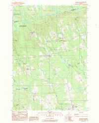 1983 Charleston1984 Print · USGSThe rural highlands of Penobscot County are captured here in the early eighties, showcasing institutional landmarks and small-town hubs. Local historians can trace the grounds of Higgins Classical Institute, locate Rollins Mill, or follow the path of Stage Coach Road.2 unique versions available
 - 1983 Map of Bradford, 1984 Print
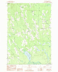 1983 Bradford1984 Print · USGSPenobscot County in the early 1980s reveals a quiet landscape of rural Maine townships and interconnected waterways. Researchers can trace family history through numerous burial sites like Hillside Cem and Pond Cem, or locate landmarks such as Huntington Mill.2 unique versions available
 - 1985 Map of Lincoln, 1994 Print
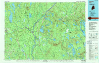 1985 Lincoln1994 Print · USGSPenobscot County in the mid-eighties remains a landscape of river-based commerce and sprawling timberlands connected by rail. You can trace the historic paths of the Maine Central RR and Canadian Pacific RR or locate rural sites like Enfield Station and the Winn Cem.
 - 1986 Map of Dover-Foxcroft
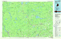 1986 Dover-Foxcroft1986 Print · USGSPiscataquis County at the edge of the great Maine woods is documented here in the mid-1980s, centered on the river-and-rail hubs of the interior. Trace the industrial footprints of Dover South Mills, the rail yards at Brownville Junction, or the historic Katahdin Iron Works.
 - 1986 Map of Lincoln
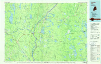 1986 Lincoln1986 Print · USGSMid-century Maine settlement and industry converge along the Penobscot and Piscataquis rivers during the 1980s. Researchers can trace the rail networks of the Maine Central and Bangor and Aroostook through towns like Howland and Milo.
 - 1994 Map of Dover-Foxcroft
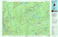 1994 Dover-Foxcroft1994 Print · USGSCentral Maine in the mid-nineties shows a landscape of timber-driven towns and deep glacial lakes. Trace the paths of the Canadian Pacific RR or locate the Moscow Air Force Station Transmit Site and Sebec Lake.
 - 2011 Map of Dover-Foxcroft, 2011 Print
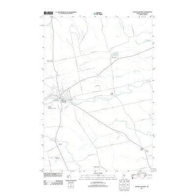 2011 Dover-Foxcroft2011 Print · USGSDover-Foxcroft and the Piscataquis River valley are shown here during the early twenty-first century as the region's river-town layout remains clear. Genealogists can trace family sites at the South Dover Cemetery or explore the rural surroundings of Goffs Corner and East Dover.
 - 2011 Map of Charleston, 2011 Print
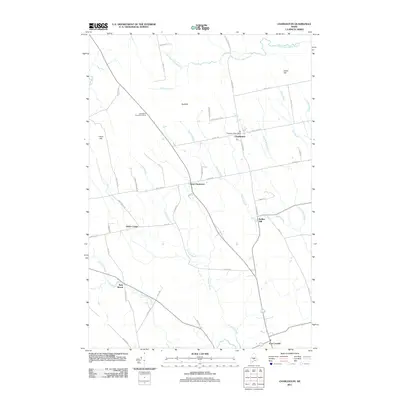 2011 Charleston2011 Print · USGSPenobscot County in the early twenty-first century remains a landscape of quiet crossroads and historic water-powered sites. Genealogists and researchers can trace the vicinity of Rollins Mill, the community at West Charleston, and landmarks like the Charleston Post Office.
 - 2011 Map of Bradford, 2011 Print
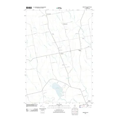 2011 Bradford2011 Print · USGSMaine's rural Penobscot County interior is documented here in the early 2000s, showing a landscape of scattered family cemeteries and winding streams. Genealogists can trace property locations near Hillside Cemetery or Huntington Mill, and locate the historic centers of Bradford and Bradford Center.
Showing maps 1-25 of 47
Top cities near Atkinson Township
- Glenburn historical maps
- Dover-Foxcroft historical maps
- Dexter historical maps
- Levant historical maps
- Corinth historical maps
- Milo historical maps
See more
Top neighborhoods of Atkinson Township
Frequently asked questions
- What are the different types of historical maps available for Atkinson Township?
- What is the oldest map of Atkinson Township?
- Where can I purchase historical maps of Atkinson Township for my home or office?
- Where can I download high-res historical maps of Atkinson Township?
- Are there historical topographic maps available for Atkinson Township?
- Is there historical aerial imagery available for Atkinson Township?
- Where are historical maps of Atkinson Township sourced from?