Old Maps of T7 R15 WELS, Maine for Academic Research
Study the evolution of T7 R15 WELS with 33 high-resolution historic maps. Whether you're teaching, researching, or modeling changes in land use, these maps provide essential visual documentation of urban, environmental, and geographic change.
- Analyze long-term change: Track patterns in development, transportation, and natural features.
- Ideal for environmental or urban studies: Support academic projects with primary historical map data.
- Use in the classroom or lab: Educators and researchers rely on these maps to bring historical context to life.
These maps are a powerful tool for teaching, research, and visualizing how T7 R15 WELS has changed over the decades.
T7 R15 WELS, ME maps
(33)- 1954 Map of Caucomgomoc Lake, 1955 Print
 1954 Caucomgomoc Lake1955 Print · USGSThe Piscataquis County wilderness in the mid-fifties is captured here as a landscape of timber-driven waterways and remote outposts. Trace the logging infrastructure of the era through Caucomgomoc Dam, the Camp Ground, and the rugged peaks of Caucomgomoc Mtn.2 unique versions available
 - 1954 Map of Allagash Lake, 1955 Print
 1954 Allagash Lake1955 Print · USGSNorthern Maine's remote timberlands are captured here in the mid-fifties, before modern roads reached these deep woods. Trace the wilderness waterways from Allagash Lake to the Allagash Lookout Tower and the remote St Francis Lake.2 unique versions available
 - 1954 Map of Presque Isle, 1968 Print
 1954 Presque Isle1968 Print · USGSNorth Woods logging and rail history come alive in this mid-century survey of the Maine-Quebec borderlands. Genealogists and historians can trace the Bangor and Aroostook railroad through timber hubs like Ashland, Smyrna Mills, and Presque Isle.2 unique versions available
 - 1958 Map of Presque Isle
 1958 Presque Isle1958 Print · USGSThe Aroostook timber and potato country is captured here during the late fifties, showing the vital rail-to-river network of Northern Maine. Genealogists and historians can trace the Bangor & Aroostook RR through Mapleton and Ashland, or locate remote sites like Chamberlain Farm and Seven Islands.
 - 1958 Map of Caucomgomoc Lake, 1961 Print
 1958 Caucomgomoc Lake1961 Print · USGSThe Maine north woods are documented here in the late fifties, showing a remote landscape of unorganized townships and logging waterways. Genealogists and historians can trace timber-era landmarks like the Caucomgomoc Dam, the Campground at Rowe Cove, and Telephone Hill.4 unique versions available
 - 1960 Map of Presque Isle
 1960 Presque Isle1960 Print · USGSNorthern Maine during the mid-century was a land of timber, rails, and strategic airfields. Genealogists and historians can trace the growth of Presque Isle and Ashland or explore the remote northern reaches of Baxter State Park and Presque Isle AFB.3 unique versions available
 - 1961 Map of Allagash Lake, 1964 Print
 1961 Allagash Lake1964 Print · USGSThe Maine north woods in the early sixties remain a vast network of timberlands and interconnected waterways. Researchers can trace remote logging infrastructure and forestry outposts like the Lookout Tower on Allagash Mtn and the Forest Service Camp near Allagash Lake.3 unique versions available
 - 1986 Map of Chamberlain Lake
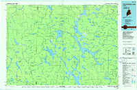 1986 Chamberlain Lake1986 Print · USGSThe Maine North Woods in the mid-eighties appear here as a land of protected wilderness and logging heritage, centered on the Allagash Wilderness Waterway. Researchers can trace the historic Tramway at Chamberlain Lake and locate old outposts like Churchill Depot.
 - 1989 Map of Wadleigh Pond
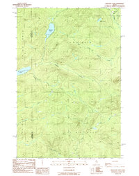 1989 Wadleigh Pond1989 Print · USGSNorthern Maine's remote township lands are captured here during the late 1980s, revealing a landscape of dense forests and vital waterways. Researchers can trace the network of logging roads and trails connecting Wadleigh Pond, St Francis Lake, and isolated campgrounds.
 - 1989 Map of Caucomgomoc Lake East
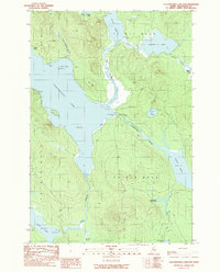 1989 Caucomgomoc Lake East1989 Print · USGSThe Piscataquis County wilderness is captured here in the late 1980s, showcasing the remote water systems of the Maine North Woods. Researchers can trace the flow of Caucomgomoc Lake through the Caucomgomoc Dam and follow the white water at The Horserace.
 - 1989 Map of Allagash Lake
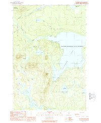 1989 Allagash Lake1989 Print · USGSMaine's North Woods are preserved here in the late eighties, showing the remote lakes and mountains of the Piscataquis interior. Outdoor historians can trace portages and primitive camps like the Ice Cave Campsite, Carry Trail Campsite, and the remote Ranger Sta.2 unique versions available
 - 1989 Map of Caucomgomoc Lake West
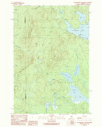 1989 Caucomgomoc Lake West1989 Print · USGSThe North Woods near the Somerset and Piscataquis county line remained a wilderness of timber and water in the late eighties. Researchers can trace the logging roads and trails connecting Caucomgomoc Lake, Caucomgomoc Mountain, and Loon Lake.
 - 1994 Map of Chamberlain Lake
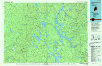 1994 Chamberlain Lake1994 Print · USGSThe North Maine Woods in the early nineties remained a network of logging outposts and protected waterways. You can trace the historic logging infrastructure at Churchill Depot, the portage at Tramway, and remote landings such as Telos Landing.
 - 2011 Map of Wadleigh Pond, 2011 Print
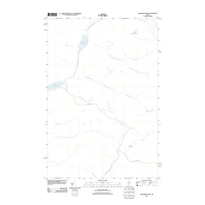 2011 Wadleigh Pond2011 Print · USGSThe Maine North Woods in the early twenty-first century are defined by logging infrastructure and expansive waterways. Trace the timber industry's reach along Caucomgomoc Rd and explore the remote shores of Saint Francis Lake and Wadleigh Pond.
 - 2011 Map of Caucomgomoc Lake East, 2011 Print
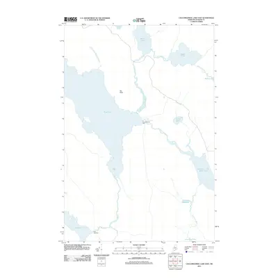 2011 Caucomgomoc Lake East2011 Print · USGSThe North Woods of Piscataquis County in the early 21st century remain a landscape of managed waterways and timberlands. Researchers can trace the legacy of Maine's logging industry through water control features like Caucomgomoc Dam, Loon Lake Dam, and the rapids of The Horserace.
 - 2011 Map of Allagash Lake, 2011 Print
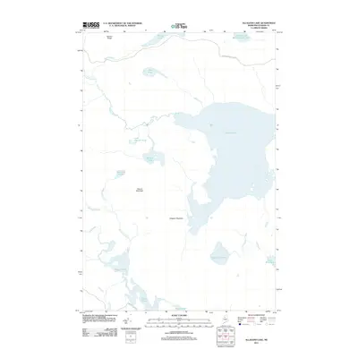 2011 Allagash Lake2011 Print · USGSTiscataquis County's remote backcountry is documented here in the early twenty-first century, showing a landscape defined by water and timber. Researchers can trace the drainages of Allagash Lake and find remote landmarks like Poland Mountain and Upper Ellis Pond.
 - 2011 Map of Caucomgomoc Lake West, 2011 Print
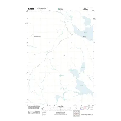 2011 Caucomgomoc Lake West2011 Print · USGSSomerset County's north woods are captured here in the early twenty-first century, showing a remote landscape of industrial timber roads and glacial ponds. Researchers can trace the paths of St John Pond Depot Rd and locate landmarks like Telephone Hill and Loon Lake.
 - 2014 Map of Caucomgomoc Lake East, 2014 Print
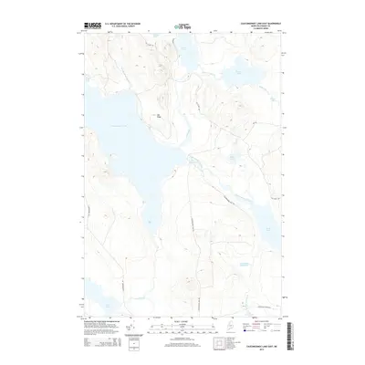 2014 Caucomgomoc Lake East2014 Print · USGSThe Maine North Woods are captured here in the early twenty-first century, showing a remote landscape of interconnected waterways and timber roads. Researchers and sportsmen can trace the paths around Caucomgomoc Lake, including the unique passage of The Horserace and the route of Black Pond Winter Rd.
 - 2014 Map of Wadleigh Pond, 2014 Print
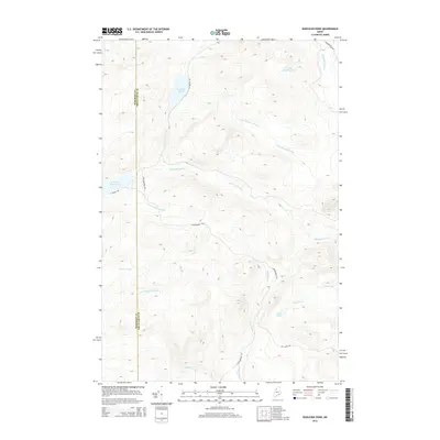 2014 Wadleigh Pond2014 Print · USGSThe Maine North Woods at the Somerset and Piscataquis county line are captured here as a remote landscape of timberlands and headwaters. Outdoorsmen and historians can trace the paths of Allagash Stream and Wadleigh Stream or locate remote camps near Saint Francis Lake.
 - 2014 Map of Allagash Lake, 2014 Print
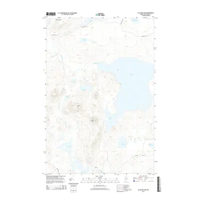 2014 Allagash Lake2014 Print · USGSPiscataquis County's remote wilderness is captured here in the early twenty-first century, centered on the expansive waters of Allagash Lake. Outdoor researchers and historians can trace forest routes like Narrow Pond Rd and identify landmarks like Allagash Mtn and Poland Pond.
 - 2014 Map of Caucomgomoc Lake West, 2014 Print
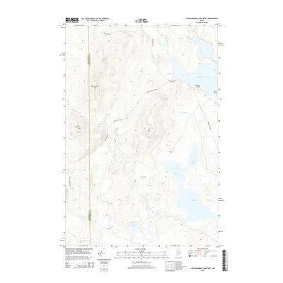 2014 Caucomgomoc Lake West2014 Print · USGSThe Maine North Woods around Caucomgomoc Lake are shown in detail as they appeared during recent timber and conservation management eras. Researchers can trace the drainage of Bear Brook Bog or locate remote elevations like Caucomgomoc Mtn and Telephone Hill.
 - 2018 Map of Allagash Lake, 2018 Print
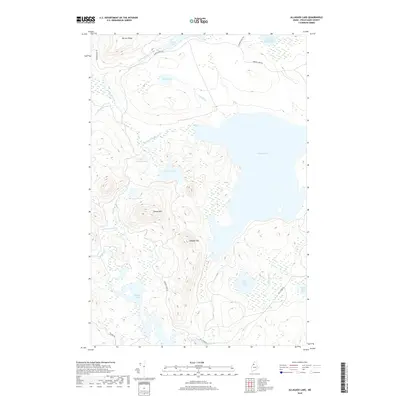 2018 Allagash Lake2018 Print · USGSNorthwoods Maine remains a landscape of connected waterways and ridges in this recent survey. Local historians and outdoorsmen can trace the drainage patterns of Allagash Lake and find remote points like Poland Mtn and Upper Ellis Pond.
 - 2018 Map of Wadleigh Pond, 2018 Print
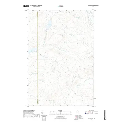 2018 Wadleigh Pond2018 Print · USGSThe Maine North Woods at the Somerset-Piscataquis border appear here as a dense network of timberlands and headwaters. Researchers can trace remote logging routes like Cave Rd and the drainage patterns of Wadleigh Stream and Saint Francis Lake.
 - 2018 Map of Caucomgomoc Lake East, 2018 Print
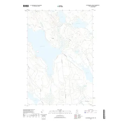 2018 Caucomgomoc Lake East2018 Print · USGSPiscataquis County timberlands are mapped here in the early twenty-first century, showing the remote waters of the Maine North Woods. Researchers can trace the flow from Caucomgomoc Lake through The Horserace and down to the Little Scott Deadwater.
 - 2018 Map of Caucomgomoc Lake West, 2018 Print
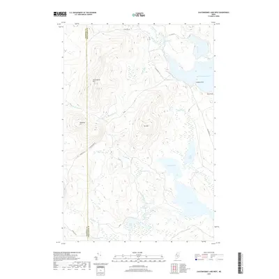 2018 Caucomgomoc Lake West2018 Print · USGSThe Maine North Woods at the Somerset and Piscataquis county line are shown here in a detailed contemporary study of its lakes and peaks. Researchers can trace the timber-country road network and shoreline features like Hubbard Point on Caucomgomoc Lake and Telephone Hill.
Showing maps 1-25 of 33
Frequently asked questions
- What are the different types of historical maps available for T7 R15 WELS?
- What is the oldest map of T7 R15 WELS?
- Where can I purchase historical maps of T7 R15 WELS for my home or office?
- Where can I download high-res historical maps of T7 R15 WELS?
- Are there historical topographic maps available for T7 R15 WELS?
- Is there historical aerial imagery available for T7 R15 WELS?
- Where are historical maps of T7 R15 WELS sourced from?