1950s Maps of Somerset County, Maine
Explore 41 historic maps of Somerset County from the 1950s. These maps offer a rare glimpse into what life looked like during the 1950s — showing old roads, neighborhoods, homes, and landmarks that have changed or disappeared over time.
Whether you're researching your family's past, planning a metal detecting trip, or studying how Somerset County's landscape evolved across the 1950s, these high-resolution maps are a powerful tool for exploring the history of this region.
- Focus on a specific era: All maps on this page are from the 1950s, giving you a focused view of this time period.
- See what’s changed: Compare century-old streets, trails, and buildings to today's modern landscape using overlays and satellite layers.
- Research with precision: Use these maps for genealogy, historical research, land use analysis, or educational projects.
- View, download, or print: Maps are fully viewable online in high resolution, and can be downloaded or printed for your own records.
Start exploring Somerset County's history through authentic maps from the 1950s. This is your window into the past.
Somerset County, ME maps
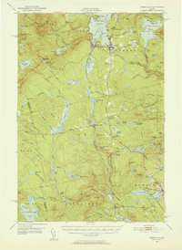
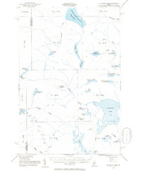
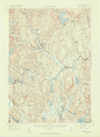
(41)- 1950 Map of Kingsbury
 1950 Kingsbury1950 Print · USGSThe Maine interior at the dawn of the fifties is a patchwork of small crossroads and remote ponds. Genealogists and historians can trace family locations near Mayfield Corner, Brighton, and the Foss Hill Cem, or explore the rural school districts like Campbell Sch.2 unique versions available
 - 1950 Map of Attean
 1950 Attean1950 Print · USGSSomerset County’s northern timberlands and the Canadian border are captured here at mid-century, when the railroad remained the primary artery. Researchers can locate the old Stetson Sch, the remote Boston Ranch, and the railway hub at Jackman Station.2 unique versions available
 - 1950 Map of Lewiston
 1950 Lewiston1950 Print · USGSThe Maine and New Hampshire borderlands come alive in this post-war survey of the White Mountains and Androscoggin valley. Genealogists and historians can trace rail lines like the Maine Central Railroad and find high-altitude landmarks from Mount Washington to Bretton Woods.2 unique versions available
 - 1950 Map of Dead River
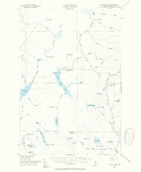
 1950 Dead River1950 Print · USGSSomerset and Franklin Counties are shown during a time of isolated farms and remote plantations in the mid-twentieth century. Researchers can locate early schoolhouses like Dead River Sch and trace the old postal route at Carry Pond PO.
 - 1951 Map of Chain Lakes
 1951 Chain Lakes1951 Print · USGSFranklin County's remote northern borderlands are shown here in the early fifties, following the historic Arnold Trail through the Chain of Ponds Lakes. Researchers can locate seasonal outposts like Caribou Camp or Lowelltown and trace the waterways of JIM POND and SEVEN PONDS.
 - 1951 Map of Greenville, 1952 Print
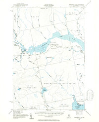
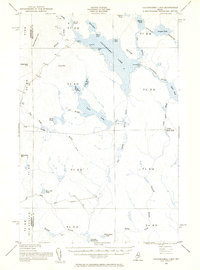
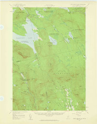
 1951 Greenville1952 Print · USGSThe Moosehead Lake region flourished as a rail and timber hub in the early fifties, where the northern woods met the water. Trace the path of the Appalachian Trail or locate the junction of the Canadian Pacific Railroad and Bangor and Aroostook Railroad near Greenville.6 unique versions available
 - 1954 Map of Seboomook Lake, 1955 Print
 1954 Seboomook Lake1955 Print · USGSThe Maine North Woods in the 1950s was a landscape of timber tracts and managed waterways. You can trace early logging infrastructure and remote outposts like Pittston Farm and Seboomook Lake.6 unique versions available
 - 1954 Map of North East Carry, 1955 Print
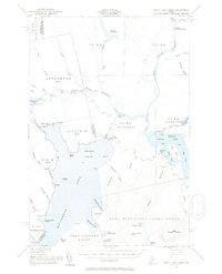 1954 North East Carry1955 Print · USGSThe Maine north woods and the upper reaches of Moosehead Lake are captured here in the mid-1950s. You can trace the historic portage at North East Carry and locate remote outposts like Smiths Halfway House and Penobscot Farm.9 unique versions available
 - 1954 Map of Baker Lake, 1955 Print
 1954 Baker Lake1955 Print · USGSThe Maine North Woods in the early fifties are shown here as a remote timberland network along the St John River. You can trace the path of the Telephone Trail and locate specific backcountry water bodies like Baker Lake and St Francis Lake.
 - 1954 Map of Caucomgomoc Lake, 1955 Print
 1954 Caucomgomoc Lake1955 Print · USGSThe Piscataquis County wilderness in the mid-fifties is captured here as a landscape of timber-driven waterways and remote outposts. Trace the logging infrastructure of the era through Caucomgomoc Dam, the Camp Ground, and the rugged peaks of Caucomgomoc Mtn.2 unique versions available
 - 1954 Map of Allagash Lake, 1955 Print
 1954 Allagash Lake1955 Print · USGSNorthern Maine's remote timberlands are captured here in the mid-fifties, before modern roads reached these deep woods. Trace the wilderness waterways from Allagash Lake to the Allagash Lookout Tower and the remote St Francis Lake.2 unique versions available
 - 1954 Map of St. John Pond, 1955 Print
 1954 St. John Pond1955 Print · USGSSomerset County’s deep woods are captured here during the mid-fifties, showing the rugged timberlands and headwaters of the North Branch Penobscot River. Researchers can trace early logging infrastructure like St John Pond Depot, the Canal, and fire lookouts atop Little Russell Mtn.2 unique versions available
 - 1954 Map of Presque Isle, 1968 Print
 1954 Presque Isle1968 Print · USGSNorth Woods logging and rail history come alive in this mid-century survey of the Maine-Quebec borderlands. Genealogists and historians can trace the Bangor and Aroostook railroad through timber hubs like Ashland, Smyrna Mills, and Presque Isle.2 unique versions available
 - 1954 Map of Millinocket, 1968 Print
 1954 Millinocket1968 Print · USGSMaine's North Woods and the Penobscot Valley are captured here during the mid-century era of logging and rail dominance. You can trace the path of the Bangor and Aroostook Railroad through timber towns like Millinocket, Mattawamkeag, and Silver Ridge.3 unique versions available
 - 1955 Map of Beaver Pond, 1956 Print
 1955 Beaver Pond1956 Print · USGSThe Maine-Quebec borderlands are captured in the mid-fifties, showing a landscape of timber townships and river headwaters. Trace the remote Customs Office on the Daaquam River and the wild drainages of Sugarloaf Mountain.3 unique versions available
 - 1955 Map of Clayton Lake, 1956 Print
 1955 Clayton Lake1956 Print · USGSThe North Maine Woods in the mid-1950s remained a remote timberland shaped by the St John River and expansive lakes. Researchers can locate specific backcountry outposts like Ninemile Bridge, Gannett Camp, and the Game Warden Camp along the winding logging roads.2 unique versions available
 - 1955 Map of Pittsfield, 1957 Print
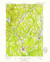 1955 Pittsfield1957 Print · USGSSomerset County in the mid-fifties is a landscape of established rail towns and quiet lakeside camps. Genealogists and historians can trace family-named crossroads like Nutter Corner, visit the Fern-Dale Cem, or locate the Gale Sch and Wild Goose Club.2 unique versions available
 - 1955 Map of Anson, 1957 Print
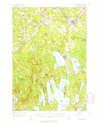
 1955 Anson1957 Print · USGSThe Kennebec River valley in the mid-1950s shows a landscape of busy riverside towns and quiet rural crossroads. Researchers can trace the Maine Central Railroad and find local landmarks like the Union Ch, Purington Sch, and the uniquely named Land of Rest Cem.4 unique versions available
 - 1955 Map of Skowhegan, 1958 Print
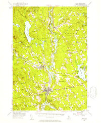
 1955 Skowhegan1958 Print · USGSSomerset County in the mid-fifties shows a landscape of busy river towns and rural school districts connected by the Maine Central railroad. Genealogists can trace family names through landmarks like Malbons Mills, Cass Corner, and the Somerset Academy.4 unique versions available
 - 1956 Map of Norridgewock, 1958 Print
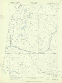
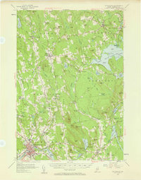
 1956 Norridgewock1958 Print · USGSSomerset and Kennebec counties are shown here in the mid-1950s, centered on the river convergence at Norridgewock. Genealogists and historians can trace local school districts like Whittier Sch and explore lakefront landmarks including Camp Abena and The Serpentine.3 unique versions available
 - 1956 Map of Farmington, 1959 Print
 1956 Farmington1959 Print · USGSMid-century Franklin County, Maine, reveals a landscape of river-driven industry and upland farming. Researchers can trace the rail connections through Wilton Station or locate family roots near Knowltons Corner, Intervale School, and Savage Cemetery.3 unique versions available
 - 1956 Map of Little Bigelow Mtn, 1959 Print
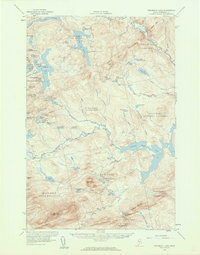
 1956 Little Bigelow Mtn1959 Print · USGSSomerset and Franklin counties are shown here in the mid-fifties, just after the waters of the Dead River were impounded. Researchers can locate remote seasonal outposts like West Carry Camps, the Highland Sch, and the winding path of the Appalachian Trail.4 unique versions available
 - 1956 Map of Stratton, 1959 Print
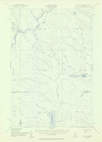
 1956 Stratton1959 Print · USGSThe Franklin County highlands in the mid-1950s show a landscape defined by the expansion of Flagstaff Lake and the timber economy. Researchers can trace the Appalachian Trail over Bigelow Mountain or locate the Flagstaff Memorial Church and the Coplin School.3 unique versions available
 - 1956 Map of Penobscot Lake, 1960 Print
 1956 Penobscot Lake1960 Print · USGSThe Maine-Quebec borderlands in the mid-1950s reveal a landscape of timber townships and remote waterways. Trace the Bald Mtn Trail to the Lookout Tower or explore the vast Penobscot Lake and the North Branch Penobscot River.4 unique versions available
 - 1956 Map of The Forks, 1961 Print
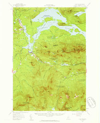
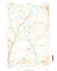 1956 The Forks1961 Print · USGSSomerset County’s river-driven landscape is captured here in the mid-fifties, centered on the vital junction of the Kennebec River. Genealogists and historians can locate the Franklin Sch, trace the old route of Shirley Road, and find the lakeside settlement of Troutdale.5 unique versions available
Showing maps 1-25 of 41
Top cities of Somerset County
- Fairfield historical maps
- Skowhegan historical maps
- Madison historical maps
- Pittsfield historical maps
- Norridgewock historical maps
- Anson historical maps
See more
Frequently asked questions
- What are the different types of historical maps available for Somerset County?
- What is the oldest map of Somerset County?
- Where can I purchase historical maps of Somerset County for my home or office?
- Where can I download high-res historical maps of Somerset County?
- Are there historical topographic maps available for Somerset County?
- Is there historical aerial imagery available for Somerset County?
- Where are historical maps of Somerset County sourced from?