Old Maps of T8 R4 NBPP, Maine for Academic Research
Study the evolution of T8 R4 NBPP with 41 high-resolution historic maps. Whether you're teaching, researching, or modeling changes in land use, these maps provide essential visual documentation of urban, environmental, and geographic change.
- Analyze long-term change: Track patterns in development, transportation, and natural features.
- Ideal for environmental or urban studies: Support academic projects with primary historical map data.
- Use in the classroom or lab: Educators and researchers rely on these maps to bring historical context to life.
These maps are a powerful tool for teaching, research, and visualizing how T8 R4 NBPP has changed over the decades.
T8 R4 NBPP, ME maps
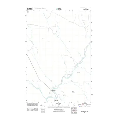
(41)- 1940 Map of Danforth
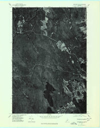
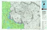
 1940 Danforth1940 Print · USGSUpper Washington and Aroostook counties come into focus just before the war, showing the vital rail junction at Danforth. Family historians can locate rural landmarks like Irish Settlement, the Trout Creek Cem, and schools such as Bonner Sch or Butterfield Sch.
 - 1941 Map of Danforth
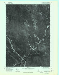
 1941 Danforth1941 Print · USGSThe Maine-New Brunswick borderlands come to life in this survey of the rail and timber country just before the war. Genealogists and historians can trace family-named sites like the Irish Settlement, Trout Brook Cem, and schools like Shaw Sch.2 unique versions available
 - 1941 Map of Wytopitlock, 1960 Print
 1941 Wytopitlock1960 Print · USGSAroostook County was a landscape of remote timberlands and river-side rail hubs at the start of the 1940s. Genealogists and historians can trace old community life through landmarks like Knoxville Sch, Whitney Fire Tower, and the rail junction at Wytopitlock.2 unique versions available
 - 1943 Map of Danforth
 1943 Danforth1943 Print · USGSThe rail-and-timber landscape of eastern Maine comes to life here as the two major railroads cross at Danforth. Genealogists can trace family-named sites like Irish Settlement and Cranetown, or locate remote points such as Trout Brook Cem and South Bancroft.3 unique versions available
 - 1943 Map of Wytopitlock
 1943 Wytopitlock1943 Print · USGSMaine’s timber and rail country comes to life in the early 1940s as the Mattawamkeag River valley connects isolated townships. Researchers can trace rural life through the locations of Knoxville Sch, Drew Cem, and the prominent Whitney Fire Tower.
 - 1954 Map of Millinocket, 1968 Print
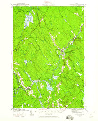
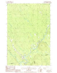
 1954 Millinocket1968 Print · USGSMaine's North Woods and the Penobscot Valley are captured here during the mid-century era of logging and rail dominance. You can trace the path of the Bangor and Aroostook Railroad through timber towns like Millinocket, Mattawamkeag, and Silver Ridge.3 unique versions available
 - 1957 Map of Fredericton, 1981 Print
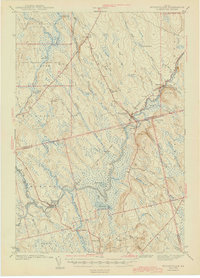
 1957 Fredericton1981 Print · USGSThe New Brunswick and Maine borderlands come into focus in the mid-fifties, dominated by the Saint John River and massive military tracts. Genealogists can locate riverfront hamlets like Maugerville or inland sites like Scotch Settlement along the Canadian Pacific rail line.
 - 1958 Map of Millinocket
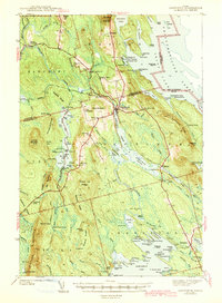
 1958 Millinocket1958 Print · USGSMaine's North Woods and the Penobscot river valley are captured here in the mid-1950s, showing a landscape of timber, rail, and wild waters. Researchers can trace the legacy of the Canadian Pacific railroad and find historic settlements like Millinocket, Sherman Station, and Mattawamkeag.
 - 1958 Map of Danforth, 1960 Print
 1958 Danforth1960 Print · USGSThe international borderlands and rail junctions of eastern Maine are captured here in the late fifties. Researchers can trace historic family landmarks and communities like the Irish Settlement, Brookton, and the Grand Lake Grange.3 unique versions available
 - 1960 Map of Millinocket
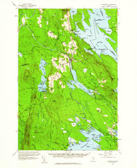
 1960 Millinocket1960 Print · USGSThe Maine North Woods and Penobscot River valley are captured at mid-century during the height of the paper milling era. Researchers can trace the Appalachian Trail near Mount Katardin or locate family roots in towns like Dover-Foxcroft and Milo.3 unique versions available
 - 1963 Map of Fredericton
 1963 Fredericton1963 Print · USGSThe Saint John River valley and the Maine-New Brunswick border are captured here during the early sixties. Researchers can trace the Canadian Pacific rail lines through rural settlements like Jewetts Mills, Mckeens Corner, and Scotch Settlement.
 - 1975 Map of Danforth NW, 1980 Print
 1975 Danforth NW1980 Print · USGSAroostook County's wooded interior is documented in the mid-1970s, showcasing the remote settlements and river systems of northern Maine. Researchers can trace land use around South Bancroft and locate properties between Mattawamkeag River and Lower Hot Brook Lake.
 - 1975 Map of Wytopitlock SE, 1980 Print
 1975 Wytopitlock SE1980 Print · USGSMaine's interior timberlands are captured in high-altitude detail during the mid-seventies, showing the intersection of water and forest management. Trace the precise 1975 shoreline of the Mattawamkeag River and the winding course of Meadow Brook.
 - 1975 Map of Wytopitlock NE, 1980 Print
 1975 Wytopitlock NE1980 Print · USGSNorthern Maine timberlands and riverfront settlements are captured in this mid-1970s aerial survey. Trace the historic footprints of Bancroft and Wytopitlock along the winding Mattawamkeag River.
 - 1975 Map of Danforth SW, 1980 Print
 1975 Danforth SW1980 Print · USGSThe dense forests of Washington County are seen in high detail during the mid-seventies, showing the timberlands and waterways near Danforth. Researchers can trace the rugged topography of Stetson Mountain and the winding paths of the West Branch and East Branch.
 - 1985 Map of Millinocket, 1986 Print
 1985 Millinocket1986 Print · USGSThe North Maine Woods were a landscape of industrial timber and wilderness recreation in the mid-eighties. Genealogists and researchers can trace local settlements and rail stops like Sherman Mills, Wytopitlock, and the Old Long A Siding near the Penobscot River.2 unique versions available
 - 1988 Map of Potter Hill
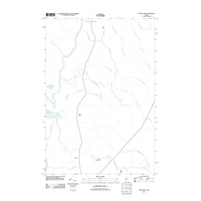
 1988 Potter Hill1988 Print · USGSMaine's north woods and plantations come into focus in the late 1980s, showcasing a landscape of timbered ridges and winding waterways. Researchers can locate the Cem in Prentiss Plt and trace family-named landmarks like Sam Rowe Ridge and Potter Hill.
 - 1988 Map of Stetson Mountain
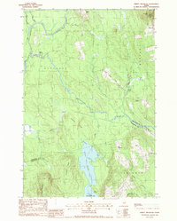
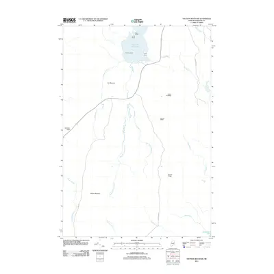
 1988 Stetson Mountain1988 Print · USGSMaine's northern interior during the late 1980s reveals a wilderness of high ridges and glacial lakes. Researchers can trace land divisions in T 8 R 4 N B P P or locate recreational landmarks like the Boat Ramp on Upper Hot Brook Lake.
 - 1988 Map of Wytopitlock
 1988 Wytopitlock1988 Print · USGSThe Mattawamkeag River valley in the late eighties serves as a vital corridor between the small outposts of Wytopitlock and Bancroft. Genealogists and historians can trace the bounds of Reed Plt and Drew Plt while identifying local landmarks like the Mill, Sherwood Mtn, and Palmer Deadwater.
 - 1988 Map of Jimmey Mountain
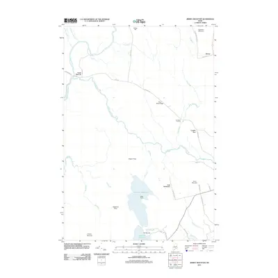
 1988 Jimmey Mountain1988 Print · USGSAroostook and Washington counties meet here in the late twentieth century, where river-carved timberlands define the landscape. Genealogists and historians can trace the Irish Settlement and South Bancroft or locate landmarks like Peekaboo Mtn and Lower Hot Brook Lake.
 - 1994 Map of Danforth
 1994 Danforth1994 Print · USGSThe Maine-New Brunswick borderlands come into focus in the 1990s, where the international line traces the St Croix River. Researchers can map the historic Wilcox Settlement, the rail corridor of the Canadian Pacific, and the waterfronts of Spednic Lake.
 - 2011 Map of Jimmey Mountain, 2011 Print
 2011 Jimmey Mountain2011 Print · USGSCovers T8 R4 NBPP, including Danforth, Weston, and other nearby areas
 - 2011 Map of Stetson Mountain, 2011 Print
 2011 Stetson Mountain2011 Print · USGSCovers T8 R4 NBPP, including Danforth, Brookton Township, and other nearby areas
 - 2011 Map of Potter Hill, 2011 Print
 2011 Potter Hill2011 Print · USGSCovers T8 R4 NBPP, including Prentiss Township, Drew Plantation, and other nearby areas
 - 2011 Map of Wytopitlock, 2011 Print
 2011 Wytopitlock2011 Print · USGSCovers T8 R4 NBPP, including Reed Plantation, Haynesville, and other nearby areas
Showing maps 1-25 of 41
Top cities near T8 R4 NBPP
- Lee historical maps
- Danforth historical maps
- Springfield historical maps
- Weston historical maps
- Prentiss Township historical maps
- Topsfield historical maps
See more
Frequently asked questions
- What are the different types of historical maps available for T8 R4 NBPP?
- What is the oldest map of T8 R4 NBPP?
- Where can I purchase historical maps of T8 R4 NBPP for my home or office?
- Where can I download high-res historical maps of T8 R4 NBPP?
- Are there historical topographic maps available for T8 R4 NBPP?
- Is there historical aerial imagery available for T8 R4 NBPP?
- Where are historical maps of T8 R4 NBPP sourced from?