2000s (21st Century) Maps of Calvert County, Maryland
Explore 73 historic maps of Calvert County from the 2000s (21st Century). These maps offer a rare glimpse into what life looked like during the 2000s — showing old roads, neighborhoods, homes, and landmarks that have changed or disappeared over time.
Whether you're researching your family's past, planning a metal detecting trip, or studying how Calvert County's landscape evolved across the 2000s, these high-resolution maps are a powerful tool for exploring the history of this region.
- Focus on a specific era: All maps on this page are from the 2000s, giving you a focused view of this time period.
- See what’s changed: Compare century-old streets, trails, and buildings to today's modern landscape using overlays and satellite layers.
- Research with precision: Use these maps for genealogy, historical research, land use analysis, or educational projects.
- View, download, or print: Maps are fully viewable online in high resolution, and can be downloaded or printed for your own records.
Start exploring Calvert County's history through authentic maps from the 2000s. This is your window into the past.
Calvert County, MD maps
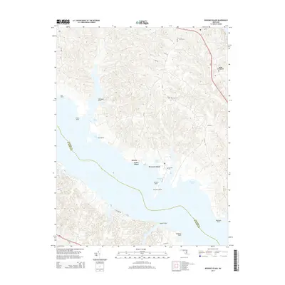
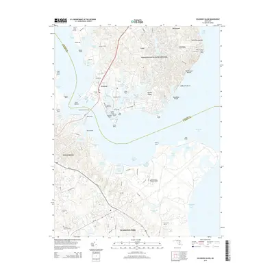
(73)- 2011 Map of Broomes Island, 2011 Print
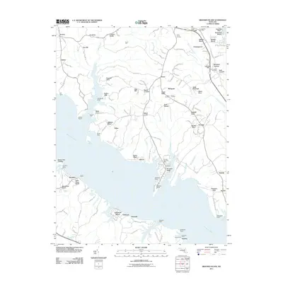 2011 Broomes Island2011 Print · USGSCovers Calvert County, including Mutual Estates, Long Cove Estates, and other nearby areas
 - 2011 Map of Prince Frederick, 2011 Print
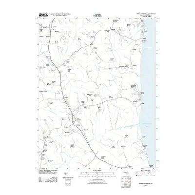 2011 Prince Frederick2011 Print · USGSCovers Calvert County, including Prince Frederick, Bess-Mar Estates, and other nearby areas
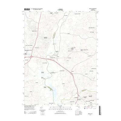
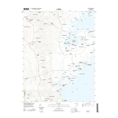
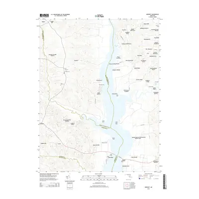
 - 2011 Map of Benedict, 2011 Print
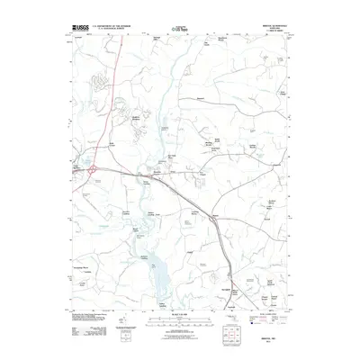
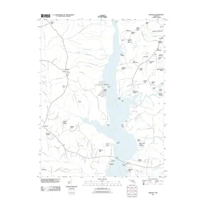 2011 Benedict2011 Print · USGSCovers Calvert County, including Aquasco, Benedict, and other nearby areas
 - 2011 Map of Lower Marlboro, 2011 Print
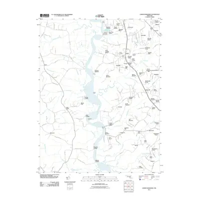 2011 Lower Marlboro2011 Print · USGSCovers Calvert County, including Dunkirk, Regency Manor Mobile Home Park, and other nearby areas
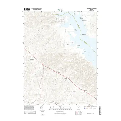
 - 2011 Map of Mechanicsville, 2011 Print
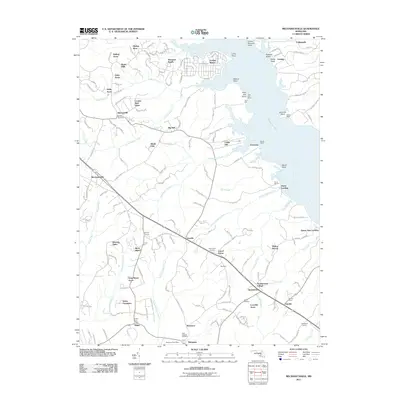 2011 Mechanicsville2011 Print · USGSCovers Calvert County, including Golden Beach, Mechanicsville, and other nearby areas
 - 2011 Map of Cove Point, 2011 Print
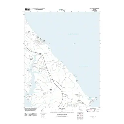 2011 Cove Point2011 Print · USGSCovers Calvert County, including Calvert Beach Estates, Cape Leonard, and other nearby areas
 - 2011 Map of Solomons Island, 2011 Print
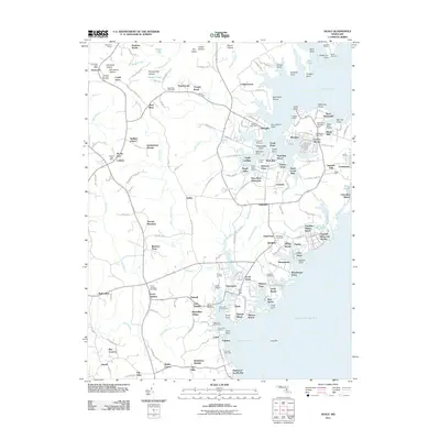
 2011 Solomons Island2011 Print · USGSCovers Calvert County, including Lexington Park, Chesapeake Ranch Estates, and other nearby areas
 - 2011 Map of Hollywood, 2011 Print
 2011 Hollywood2011 Print · USGSCovers Calvert County, including Lexington Park, California, and other nearby areas
 - 2011 Map of North Beach, 2011 Print
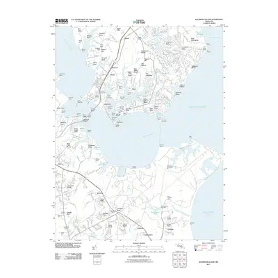
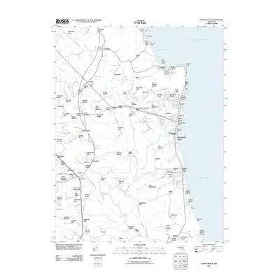 2011 North Beach2011 Print · USGSCovers Calvert County, including Chesapeake Beach, North Beach, and other nearby areas
 - 2011 Map of Deale, 2011 Print
 2011 Deale2011 Print · USGSCovers Calvert County, including Lothian, Almar Estates, and other nearby areas
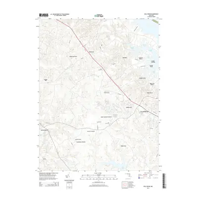
 - 2011 Map of Bristol, 2011 Print
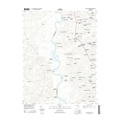
 2011 Bristol2011 Print · USGSCovers Calvert County, including Marlboro Meadows, Upper Marlboro, and other nearby areas
 - 2011 Map of Taylors Island, 2011 Print
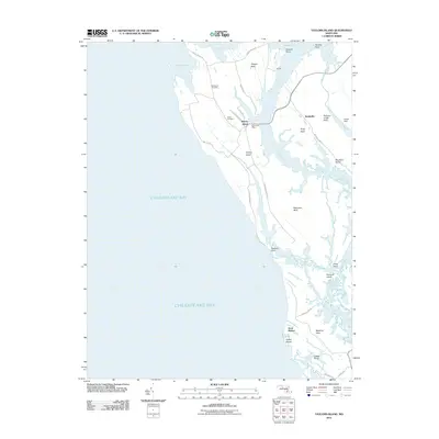 2011 Taylors Island2011 Print · USGSCovers Calvert County, including Swan Harbor, Smithville, and other nearby areas
 - 2011 Map of Barren Island, 2011 Print
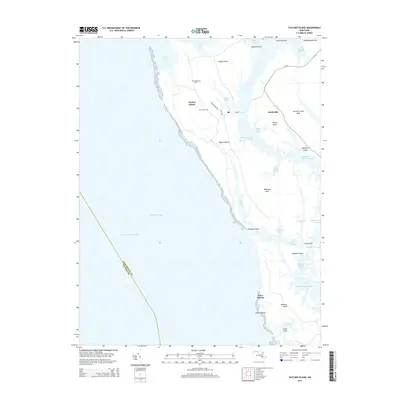
 2011 Barren Island2011 Print · USGSCovers Calvert County, including Saint Mary's County, Dorchester County, and other nearby areas
 - 2014 Map of Broomes Island, 2014 Print
 2014 Broomes Island2014 Print · USGSCovers Calvert County, including Mutual Estates, Long Cove Estates, and other nearby areas
 - 2014 Map of Hollywood, 2014 Print
 2014 Hollywood2014 Print · USGSCovers Calvert County, including Lexington Park, California, and other nearby areas
 - 2014 Map of Bristol, 2014 Print
 2014 Bristol2014 Print · USGSCovers Calvert County, including Marlboro Meadows, Upper Marlboro, and other nearby areas
 - 2014 Map of Mechanicsville, 2014 Print
 2014 Mechanicsville2014 Print · USGSCovers Calvert County, including Golden Beach, Mechanicsville, and other nearby areas
 - 2014 Map of Solomons Island, 2014 Print
 2014 Solomons Island2014 Print · USGSCovers Calvert County, including Lexington Park, Chesapeake Ranch Estates, and other nearby areas
 - 2014 Map of Deale, 2014 Print
 2014 Deale2014 Print · USGSCovers Calvert County, including Lothian, Almar Estates, and other nearby areas
 - 2014 Map of Benedict, 2014 Print
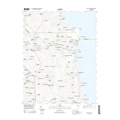
 2014 Benedict2014 Print · USGSCovers Calvert County, including Aquasco, Benedict, and other nearby areas
 - 2014 Map of Lower Marlboro, 2014 Print
 2014 Lower Marlboro2014 Print · USGSCovers Calvert County, including Dunkirk, Regency Manor Mobile Home Park, and other nearby areas
 - 2014 Map of Barren Island, 2014 Print
 2014 Barren Island2014 Print · USGSCovers Calvert County, including Saint Mary's County, Dorchester County, and other nearby areas
 - 2014 Map of Taylors Island, 2014 Print
 2014 Taylors Island2014 Print · USGSCovers Calvert County, including Swan Harbor, Smithville, and other nearby areas
 - 2014 Map of North Beach, 2014 Print
 2014 North Beach2014 Print · USGSCovers Calvert County, including Chesapeake Beach, North Beach, and other nearby areas
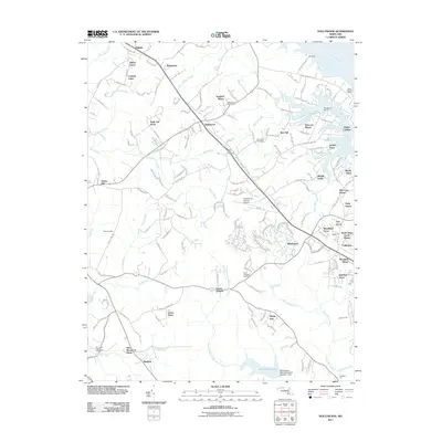
 - 2014 Map of Prince Frederick, 2014 Print
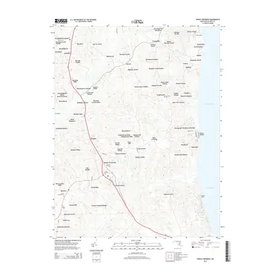 2014 Prince Frederick2014 Print · USGSCovers Calvert County, including Prince Frederick, Bess-Mar Estates, and other nearby areas
Showing maps 1-25 of 73
Top cities of Calvert County
- Chesapeake Ranch Estates historical maps
- Chesapeake Beach historical maps
- Solomons historical maps
- Drum Point historical maps
- Dunkirk historical maps
- Prince Frederick historical maps
See more
Frequently asked questions
- What are the different types of historical maps available for Calvert County?
- What is the oldest map of Calvert County?
- Where can I purchase historical maps of Calvert County for my home or office?
- Where can I download high-res historical maps of Calvert County?
- Are there historical topographic maps available for Calvert County?
- Is there historical aerial imagery available for Calvert County?
- Where are historical maps of Calvert County sourced from?