2020s Maps of Calvert County, Maryland
Explore 15 historic maps of Calvert County from the 2020s. These maps offer a rare glimpse into what life looked like during the 2020s — showing old roads, neighborhoods, homes, and landmarks that have changed or disappeared over time.
Whether you're researching your family's past, planning a metal detecting trip, or studying how Calvert County's landscape evolved across the 2020s, these high-resolution maps are a powerful tool for exploring the history of this region.
- Focus on a specific era: All maps on this page are from the 2020s, giving you a focused view of this time period.
- See what’s changed: Compare century-old streets, trails, and buildings to today's modern landscape using overlays and satellite layers.
- Research with precision: Use these maps for genealogy, historical research, land use analysis, or educational projects.
- View, download, or print: Maps are fully viewable online in high resolution, and can be downloaded or printed for your own records.
Start exploring Calvert County's history through authentic maps from the 2020s. This is your window into the past.
Calvert County, MD maps
(15)- 2023 Map of Broomes Island, 2023 Print
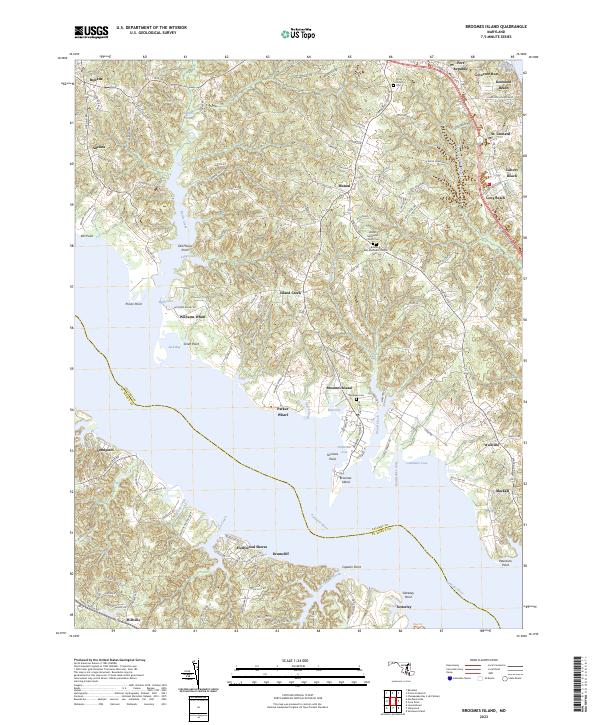 2023 Broomes Island2023 Print · USGSThe Patuxent River and Chesapeake Bay shoreline take center stage in this coastal survey of Calvert County. Researchers can trace historic river landings at Williams Wharf and Parker Wharf or locate local burials at Wesleyan Cem.
 - 2023 Map of Mechanicsville, 2023 Print
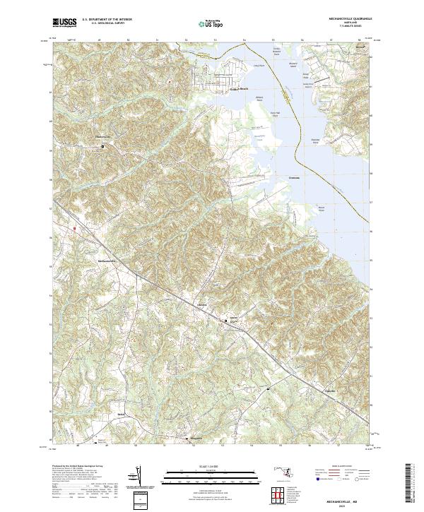 2023 Mechanicsville2023 Print · USGSMaryland's St. Mary's County interior is captured in this modern survey of the tidewater peninsula. Genealogists can trace family names and burial sites at All Faith Episcopal Cem or Galilee Cem, while following old routes like Three Notch Rd.
 - 2023 Map of Hollywood, 2023 Print
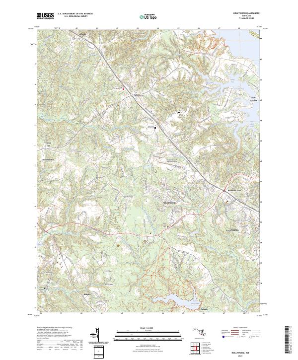 2023 Hollywood2023 Print · USGSSt. Mary's County comes into focus in this contemporary survey, capturing the modern suburban and maritime character of the Maryland peninsula. Researchers can trace historic church sites and parish grounds like Saint John Parish Cem and Our Ladys Chapel Cem amidst newer developments in California and Wildewood.
 - 2023 Map of Chesapeake Bay 1 (All Water), 2023 Print
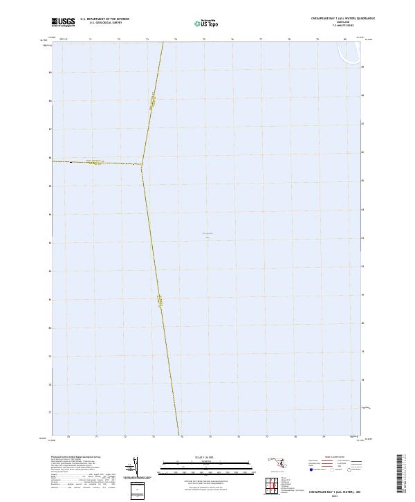 2023 Chesapeake Bay 1 (All Water)2023 Print · USGSMaryland's maritime interior is defined by these mid-bay county borders at the start of the 2020s. Genealogists and historians can trace the precise water boundaries of Anne Arundel, Talbot, and Calvert counties across the Chesapeake Bay.
 - 2023 Map of Benedict, 2023 Print
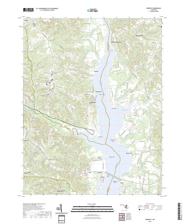 2023 Benedict2023 Print · USGSThe Patuxent River valley in southern Maryland is documented here in the early 2020s, showing the intersection of Prince George's, Calvert, and Charles counties. Genealogists can trace deep local roots at Saint Philips Episcopal Church Cem or Scott Family Cem while exploring the waterfront at Eagle Harbor.
 - 2023 Map of Chesapeake Bay 2 (All Water), 2023 Print
 2023 Chesapeake Bay 2 (All Water)2023 Print · USGSThe open waters of the mid-bay take center stage in this recent maritime survey of the Maryland coast. Historians and researchers can trace the precise aquatic boundaries where Talbot Co, Calvert Co, and Dorchester Co meet in the Chesapeake Bay.
 - 2023 Map of Solomons Island, 2023 Print
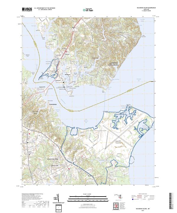 2023 Solomons Island2023 Print · USGSThe confluence of the Patuxent River and Chesapeake Bay is captured here in the 2020s, showing the modern layout of maritime villages and military installations. Researchers can trace family sites at Solomons Island Cem or explore the vast footprint of the Patuxent River Naval Air Station.
 - 2023 Map of Deale, 2023 Print
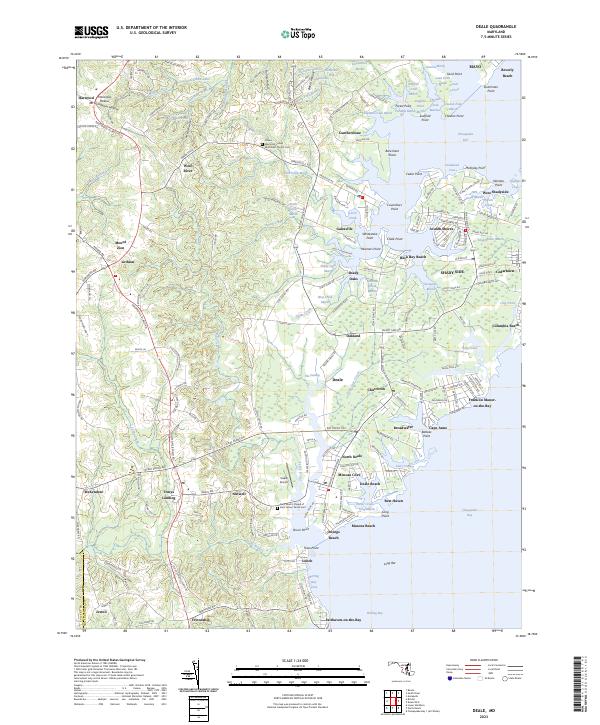 2023 Deale2023 Print · USGSCoastal Anne Arundel County comes into sharp focus in this recent study of its bayside settlements and marshy creeks. Researchers can trace the boundaries of family burial grounds at Chews Memorial United Methodist Church Cem and explore the waterfront grids of Columbia Beach and Deale.
 - 2023 Map of Barren Island, 2023 Print
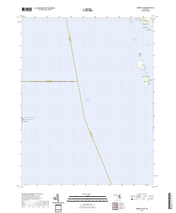 2023 Barren Island2023 Print · USGSThe Dorchester County coast is captured here in the early 2020s, showing a landscape defined by the shifting waters of the Chesapeake. Genealogists and historians can trace the shoreline of Barren Island, the marshlands of Meekins Neck, and landings at Houston Point.
 - 2023 Map of Prince Frederick, 2023 Print
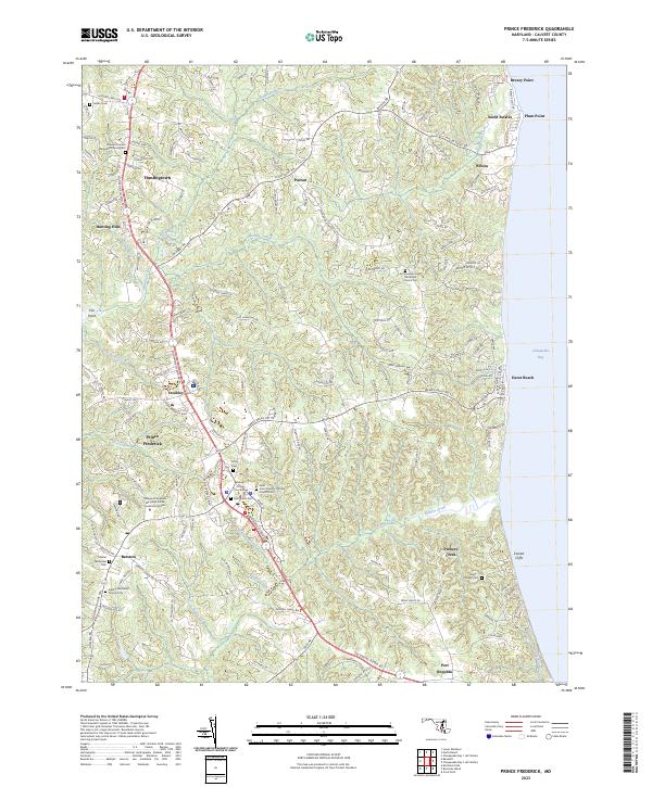 2023 Prince Frederick2023 Print · USGSMaryland's coastal peninsula between the Patuxent and the bay appears here in its modern form, centered on the county seat. Genealogists can trace family landmarks and historical burial grounds from Saint Paul's Cem to the Hance - Chesley Cem and Emmanuel United Methodist Church Cem.
 - 2023 Map of Lower Marlboro, 2023 Print
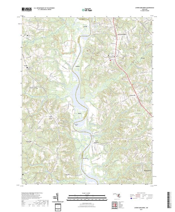 2023 Lower Marlboro2023 Print · USGSModern Southern Maryland is captured here along the Patuxent River, where river landings meet rural family homesteads. Genealogists can trace ancestral sites like Magruder Ferry, Smiths Purchase Cem, and the historic Naylor community.
 - 2023 Map of Taylors Island, 2023 Print
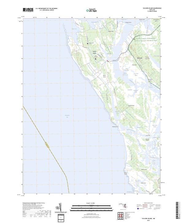 2023 Taylors Island2023 Print · USGSDorchester County's tidal peninsulas and marshlands are mapped here in the early twenty-first century, revealing a landscape of conservation and history. Genealogists and historians can trace family landmarks like Grace Episcopal Cem or explore the boundaries of the Harriet Tubman Underground Railroad National Historical Park.
 - 2023 Map of Bristol, 2023 Print
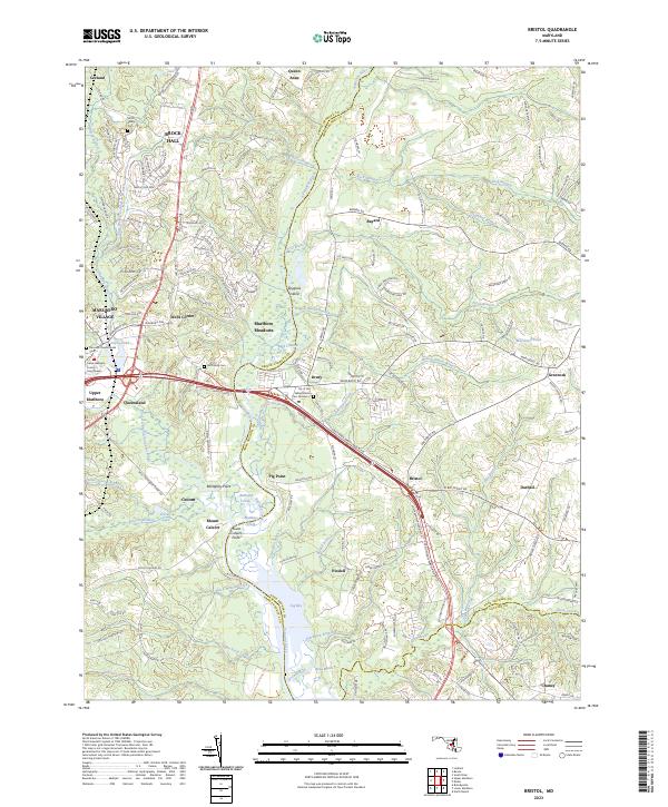 2023 Bristol2023 Print · USGSThe Patuxent River valley comes alive in this contemporary study of the Prince George's and Anne Arundel border. Researchers can trace family sites like Smith Family Cem or visit the Prince George's County Courthouse in Upper Marlboro.
 - 2023 Map of North Beach, 2023 Print
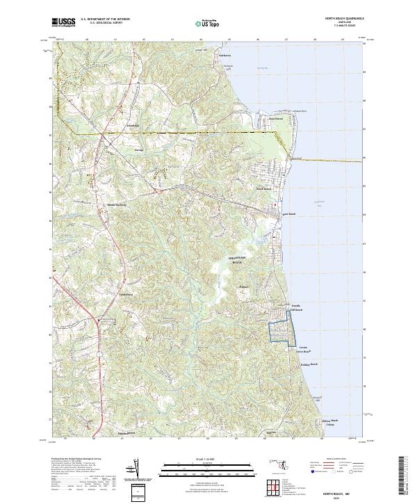 2023 North Beach2023 Print · USGSThe Western Shore of the Chesapeake Bay comes into focus in this recent survey of northern Calvert and southern Anne Arundel counties. Genealogists and local historians can trace the grounds of All Saints Episcopal Church, the streets of North Beach, and the dramatic rise of Calvert Cliffs along the waterfront.
 - 2023 Map of Cove Point, 2023 Print
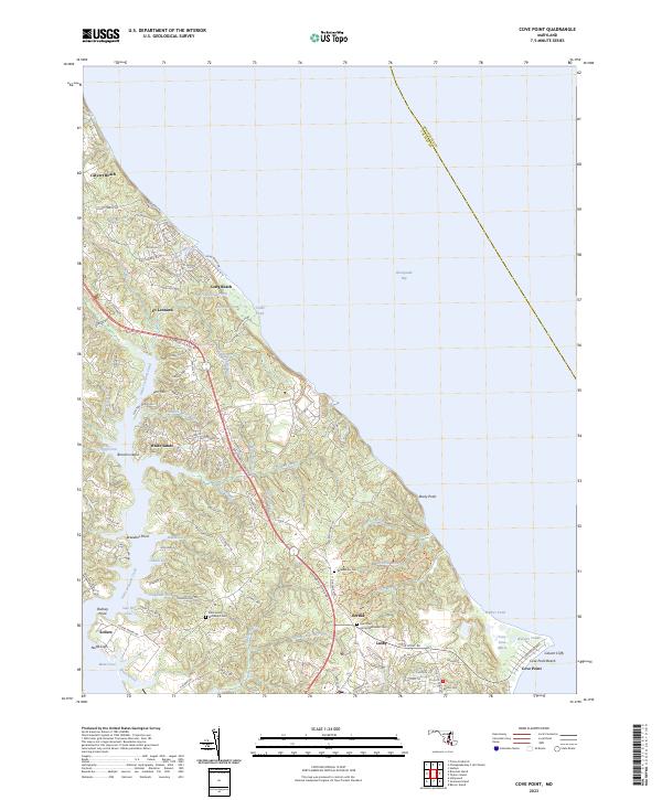 2023 Cove Point2023 Print · USGSCoastal Calvert County appears here in the early twenty-first century, showing the established communities and shoreline of the western Chesapeake. Genealogists and researchers can locate family sites at Middleham Cem, Bertha, and the residential lanes near Lusby.
End of results
Showing maps 1-15 of 15
Top cities of Calvert County
- Chesapeake Ranch Estates historical maps
- Chesapeake Beach historical maps
- Solomons historical maps
- Drum Point historical maps
- Dunkirk historical maps
- Prince Frederick historical maps
See more
Frequently asked questions
- What are the different types of historical maps available for Calvert County?
- What is the oldest map of Calvert County?
- Where can I purchase historical maps of Calvert County for my home or office?
- Where can I download high-res historical maps of Calvert County?
- Are there historical topographic maps available for Calvert County?
- Is there historical aerial imagery available for Calvert County?
- Where are historical maps of Calvert County sourced from?