Old Maps of Worcester County, Maryland for Academic Research
Study the evolution of Worcester County with 98 high-resolution historic maps. Whether you're teaching, researching, or modeling changes in land use, these maps provide essential visual documentation of urban, environmental, and geographic change.
- Analyze long-term change: Track patterns in development, transportation, and natural features.
- Ideal for environmental or urban studies: Support academic projects with primary historical map data.
- Use in the classroom or lab: Educators and researchers rely on these maps to bring historical context to life.
These maps are a powerful tool for teaching, research, and visualizing how Worcester County has changed over the decades.
Worcester County, MD maps
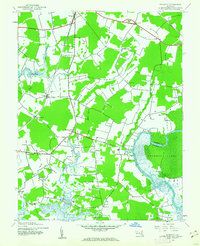
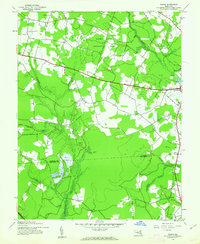
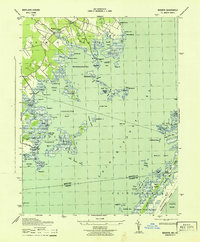
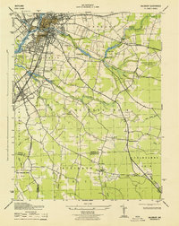
(98)- 1901 Map of Snow Hill
 1901 Snow Hill1901 Print · USGSCovers Worcester County, including Chincoteague, Snow Hill, and other nearby areas4 unique versions available
 - 1901 Map of Salisbury
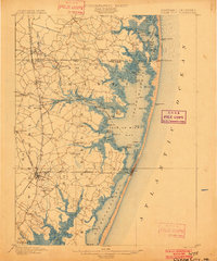
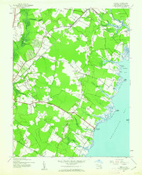
 1901 Salisbury1901 Print · USGSCovers Worcester County, including Salisbury, Fruitland, and other nearby areas4 unique versions available
 - 1901 Map of Green Run
 1901 Green Run1901 Print · USGSCovers Worcester County, including Newport South, Genezer Estates, and other nearby areas4 unique versions available
 - 1901 Map of Ocean City
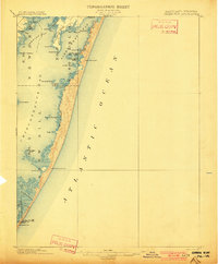
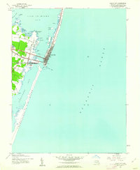
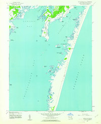
 1901 Ocean City1901 Print · USGSCovers Worcester County, including Ocean Pines, Ocean City, and other nearby areas5 unique versions available
 - 1902 Map of Pittsville
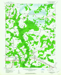
 1902 Pittsville1902 Print · USGSCovers Worcester County, including Selbyville, Pittsville, and other nearby areas4 unique versions available
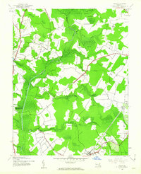
 - 1938 Map of Green Run, 1960 Print
 1938 Green Run1960 Print · USGSCovers Worcester County, including Newport South, Genezer Estates, and other nearby areas
 - 1942 Map of Ocean City
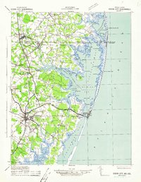 1942 Ocean City1942 Print · USGSCovers Worcester County, including Ocean Pines, Ocean City, and other nearby areas2 unique versions available
 - 1942 Map of Kingston, 1962 Print
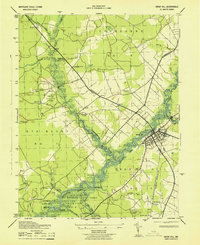
 1942 Kingston1962 Print · USGSCovers Worcester County, including Cottage Grove, Greenhill, and other nearby areas2 unique versions available
 - 1942 Map of Ninepin, 1962 Print
 1942 Ninepin1962 Print · USGSCovers Worcester County, including Mount Pleasant, Truitt, and other nearby areas
 - 1942 Map of Snow Hill, 1962 Print
 1942 Snow Hill1962 Print · USGSCovers Worcester County, including Snow Hill, Rolling Hills, and other nearby areas
 - 1942 Map of Ocean City, 1962 Print
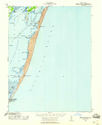
 1942 Ocean City1962 Print · USGSCovers Worcester County, including Ocean City, West Ocean City, and other nearby areas
 - 1942 Map of Wango, 1962 Print
 1942 Wango1962 Print · USGSCovers Worcester County, including Southern Pines, Piney Grove, and other nearby areas
 - 1942 Map of Tingles Island, 1962 Print
 1942 Tingles Island1962 Print · USGSCovers Worcester County, including Newport South, Genezer Estates, and other nearby areas
 - 1942 Map of Wesley, 1962 Print
 1942 Wesley1962 Print · USGSCovers Worcester County, including Spence, Harmon Landing Estates, and other nearby areas
 - 1942 Map of Whaleysville, 1962 Print
 1942 Whaleysville1962 Print · USGSCovers Worcester County, including Selbyville, Willards, and other nearby areas3 unique versions available
 - 1942 Map of Dividing Creek, 1962 Print
 1942 Dividing Creek1962 Print · USGSCovers Worcester County, including Cokesbury, Whiteburg, and other nearby areas
 - 1942 Map of Salisbury, 1962 Print
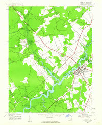
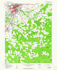 1942 Salisbury1962 Print · USGSCovers Worcester County, including Salisbury, Fruitland, and other nearby areas2 unique versions available
 - 1943 Map of Snow Hill
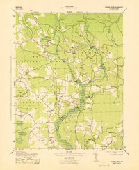
 1943 Snow Hill1943 Print · USGSCovers Worcester County, including Snow Hill, Rolling Hills, and other nearby areas
 - 1943 Map of Ninepin
 1943 Ninepin1943 Print · USGSCovers Worcester County, including Mount Pleasant, Truitt, and other nearby areas
 - 1943 Map of Selbyville
 1943 Selbyville1943 Print · USGSCovers Worcester County, including Ocean Pines, Selbyville, and other nearby areas2 unique versions available
 - 1943 Map of Boxiron
 1943 Boxiron1943 Print · USGSCovers Worcester County, including Chincoteague, Hudson Landing, and other nearby areas
 - 1943 Map of Dividing Creek
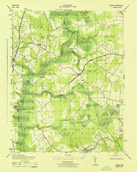
 1943 Dividing Creek1943 Print · USGSCovers Worcester County, including Cokesbury, Whiteburg, and other nearby areas
 - 1943 Map of Whittington Point
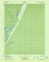 1943 Whittington Point1943 Print · USGSCovers Worcester County, including Accomack County, United States, and other nearby areas
 - 1943 Map of Berlin
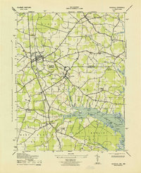
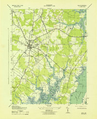 1943 Berlin1943 Print · USGSCovers Worcester County, including Berlin, Germantown, and other nearby areas2 unique versions available
 - 1943 Map of Salisbury
 1943 Salisbury1943 Print · USGSCovers Worcester County, including Salisbury, Fruitland, and other nearby areas
Showing maps 1-25 of 98
Top cities of Worcester County
- Ocean Pines historical maps
- Ocean City historical maps
- West Ocean City historical maps
- Pocomoke City historical maps
- Berlin historical maps
- Snow Hill historical maps
Frequently asked questions
- What are the different types of historical maps available for Worcester County?
- What is the oldest map of Worcester County?
- Where can I purchase historical maps of Worcester County for my home or office?
- Where can I download high-res historical maps of Worcester County?
- Are there historical topographic maps available for Worcester County?
- Is there historical aerial imagery available for Worcester County?
- Where are historical maps of Worcester County sourced from?