2000s (21st Century) Maps of Worcester County, Massachusetts
Explore 215 historic maps of Worcester County from the 2000s (21st Century). These maps offer a rare glimpse into what life looked like during the 2000s — showing old roads, neighborhoods, homes, and landmarks that have changed or disappeared over time.
Whether you're researching your family's past, planning a metal detecting trip, or studying how Worcester County's landscape evolved across the 2000s, these high-resolution maps are a powerful tool for exploring the history of this region.
- Focus on a specific era: All maps on this page are from the 2000s, giving you a focused view of this time period.
- See what’s changed: Compare century-old streets, trails, and buildings to today's modern landscape using overlays and satellite layers.
- Research with precision: Use these maps for genealogy, historical research, land use analysis, or educational projects.
- View, download, or print: Maps are fully viewable online in high resolution, and can be downloaded or printed for your own records.
Start exploring Worcester County's history through authentic maps from the 2000s. This is your window into the past.
Worcester County, MA maps
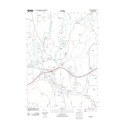
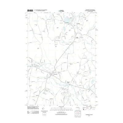
(215)- 2012 Map of Mount Grace, 2012 Print
 2012 Mount Grace2012 Print · USGSCovers Worcester County, including Orange, Winchester, and other nearby areas
 - 2012 Map of Ware, 2012 Print
 2012 Ware2012 Print · USGSCovers Worcester County, including Ware, Barre, and other nearby areas
 - 2012 Map of Royalston, 2012 Print
 2012 Royalston2012 Print · USGSCovers Worcester County, including Athol, Templeton, and other nearby areas
 - 2012 Map of Winsor Dam, 2012 Print
 2012 Winsor Dam2012 Print · USGSCovers Worcester County, including Belchertown, Ware, and other nearby areas
 - 2012 Map of Palmer, 2012 Print
 2012 Palmer2012 Print · USGSCovers Worcester County, including Belchertown, Palmer, and other nearby areas
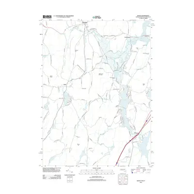
 - 2012 Map of Quabbin Reservoir, 2012 Print
 2012 Quabbin Reservoir2012 Print · USGSCovers Worcester County, including Hardwick, Shutesbury, and other nearby areas
 - 2012 Map of Warren, 2012 Print
 2012 Warren2012 Print · USGSCovers Worcester County, including Palmer, Ware, and other nearby areas
 - 2012 Map of Barre, 2012 Print
 2012 Barre2012 Print · USGSCovers Worcester County, including Rutland, Templeton, and other nearby areas
 - 2012 Map of Petersham, 2012 Print
 2012 Petersham2012 Print · USGSCovers Worcester County, including Barre, Hardwick, and other nearby areas
 - 2012 Map of Southbridge, 2012 Print
 2012 Southbridge2012 Print · USGSCovers Worcester County, including Southbridge, Charlton, and other nearby areas
 - 2012 Map of Winchendon, 2012 Print
 2012 Winchendon2012 Print · USGSCovers Worcester County, including Winchendon, Templeton, and other nearby areas
 - 2012 Map of Templeton, 2012 Print
 2012 Templeton2012 Print · USGSCovers Worcester County, including Gardner, Winchendon, and other nearby areas
 - 2012 Map of Leicester, 2012 Print
 2012 Leicester2012 Print · USGSCovers Worcester County, including Auburn, Oxford, and other nearby areas
 - 2012 Map of Fitchburg, 2012 Print
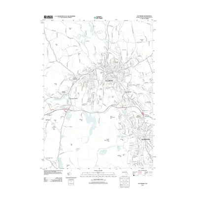 2012 Fitchburg2012 Print · USGSCovers Worcester County, including Leominster, Fitchburg, and other nearby areas
 - 2012 Map of Ashburnham, 2012 Print
 2012 Ashburnham2012 Print · USGSCovers Worcester County, including Gardner, Winchendon, and other nearby areas
 - 2012 Map of Wales, 2012 Print
 2012 Wales2012 Print · USGSCovers Worcester County, including Stafford, Sturbridge, and other nearby areas
 - 2012 Map of Framingham, 2012 Print
 2012 Framingham2012 Print · USGSCovers Worcester County, including Framingham, Marlborough, and other nearby areas
 - 2012 Map of Orange, 2012 Print
 2012 Orange2012 Print · USGSCovers Worcester County, including Athol, Orange, and other nearby areas
 - 2012 Map of Oxford, 2012 Print
 2012 Oxford2012 Print · USGSCovers Worcester County, including Webster, Burrillville, and other nearby areas
 - 2012 Map of Webster, 2012 Print
 2012 Webster2012 Print · USGSCovers Worcester County, including Webster, Southbridge, and other nearby areas
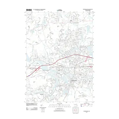
 - 2012 Map of Milford, 2012 Print
 2012 Milford2012 Print · USGSCovers Worcester County, including Milford, Westborough, and other nearby areas
 - 2012 Map of Shrewsbury, 2012 Print
 2012 Shrewsbury2012 Print · USGSCovers Worcester County, including Worcester, Marlborough, and other nearby areas
 - 2012 Map of Uxbridge, 2012 Print
 2012 Uxbridge2012 Print · USGSCovers Worcester County, including Northbridge, Burrillville, and other nearby areas
 - 2012 Map of Townsend, 2012 Print
 2012 Townsend2012 Print · USGSCovers Worcester County, including Pepperell, Groton, and other nearby areas
 - 2012 Map of Wachusett Mountain, 2012 Print
 2012 Wachusett Mountain2012 Print · USGSCovers Worcester County, including Holden, Rutland, and other nearby areas
Showing maps 1-25 of 215
Top cities of Worcester County
- Worcester historical maps
- Leominster historical maps
- Fitchburg historical maps
- Shrewsbury historical maps
- Milford historical maps
- Gardner historical maps
See more
Frequently asked questions
- What are the different types of historical maps available for Worcester County?
- What is the oldest map of Worcester County?
- Where can I purchase historical maps of Worcester County for my home or office?
- Where can I download high-res historical maps of Worcester County?
- Are there historical topographic maps available for Worcester County?
- Is there historical aerial imagery available for Worcester County?
- Where are historical maps of Worcester County sourced from?