2000s (21st Century) Maps of Alpena County, Michigan
Explore 125 historic maps of Alpena County from the 2000s (21st Century). These maps offer a rare glimpse into what life looked like during the 2000s — showing old roads, neighborhoods, homes, and landmarks that have changed or disappeared over time.
Whether you're researching your family's past, planning a metal detecting trip, or studying how Alpena County's landscape evolved across the 2000s, these high-resolution maps are a powerful tool for exploring the history of this region.
- Focus on a specific era: All maps on this page are from the 2000s, giving you a focused view of this time period.
- See what’s changed: Compare century-old streets, trails, and buildings to today's modern landscape using overlays and satellite layers.
- Research with precision: Use these maps for genealogy, historical research, land use analysis, or educational projects.
- View, download, or print: Maps are fully viewable online in high resolution, and can be downloaded or printed for your own records.
Start exploring Alpena County's history through authentic maps from the 2000s. This is your window into the past.
Alpena County, MI maps
(125)- 2011 Map of Evans Creek, 2011 Print
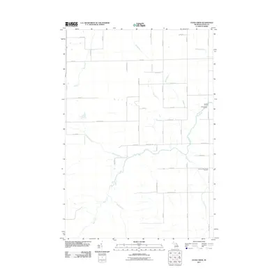 2011 Evans Creek2011 Print · USGSAlpena County's rural landscape is captured here in the early twenty-first century, showing a traditional layout of family-named roads and remote creeks. Researchers can locate family heritage sites at the Saint Paul Cemetery, Saint Matthew Cemetery, or along the banks of Wolf Creek.
 - 2011 Map of Ossineke, 2011 Print
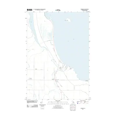 2011 Ossineke2011 Print · USGSAlpena County's shoreline and the coastal community of Ossineke are captured here in the early twenty-first century. Genealogists and local historians can trace family plots at Sanborn Township Cemetery or follow the winding Devils River to its mouth at Lake Huron.
 - 2011 Map of South Point, 2011 Print
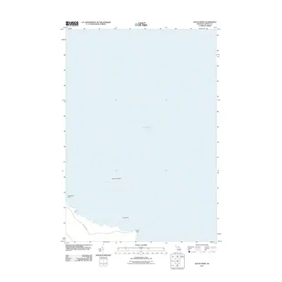 2011 South Point2011 Print · USGSAlpena County's eastern shoreline meets the vast waters of Lake Huron in this early 21st-century record of Sanborn Township. Geologists and local historians can trace the precise coastal contours of South Point, Hardwood Point, and the offshore Scarecrow Island.
 - 2011 Map of Beaver Lake, 2011 Print
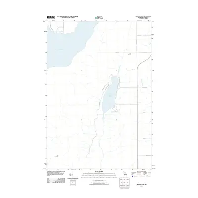 2011 Beaver Lake2011 Print · USGSAlpena County's lake country is detailed here during the early twenty-first century, showing the developed shores and rural cemeteries of Ossineke Township. Genealogists and researchers can locate Spratt Cemetery or trace the drainage of Beaver Creek and Butterfield Creek.
 - 2011 Map of Big Ravine Creek, 2011 Print
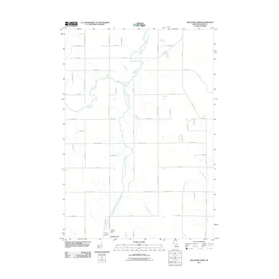 2011 Big Ravine Creek2011 Print · USGSAlpena County at the start of the 2010s reveals a landscape shaped by the Lower South Branch Thunder Bay River and local rural townships. Researchers can locate the Hubbard Lake Post Office, Hubbard Lake Cemetery, and family-named routes like King Settlement Rd.
 - 2011 Map of Rust, 2011 Print
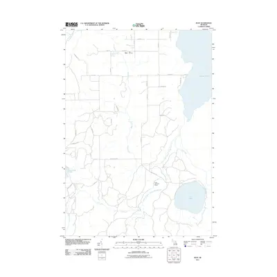 2011 Rust2011 Print · USGSMontmorency County at the start of the 2010s reveals a landscape defined by its waters and quiet township settlements. Genealogists and local historians can locate Rust Cemetery near the village of Rust or trace the shores of Turtle Lake and Fletcher Pond.
 - 2011 Map of North Point, 2011 Print
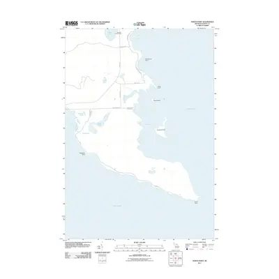 2011 North Point2011 Print · USGSThe Alpena County shoreline in the early twenty-first century is a landscape of rugged peninsulas and sheltered bays. Researchers can trace coastal development at Northpoint Shrs or locate private infrastructure like the Baarlear Landing Strip and Misery Bay Rd.
 - 2011 Map of Jewett Creek, 2011 Print
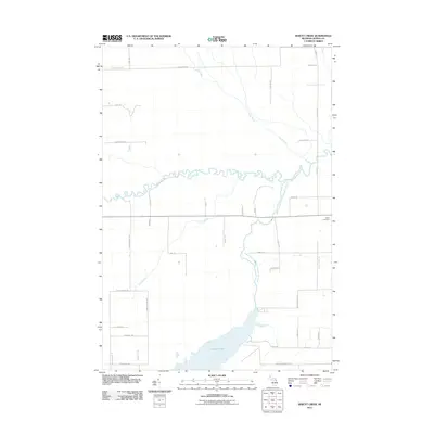 2011 Jewett Creek2011 Print · USGSThe northern reaches of the Alpena-Montmorency county line are captured here in the early twenty-first century, centered on the waters of Fletcher Pond. Local historians can trace old homesteads and family names along Doyle School Rd and Taylor Hawks Rd near the Green Cemetery.
 - 2011 Map of Middle Island, 2011 Print
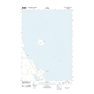 2011 Middle Island2011 Print · USGSAlpena County's Lake Huron shoreline comes into focus during the early twenty-first century, highlighting a landscape defined by maritime navigation and secluded points. Researchers can trace coastal features like Middle Island Light, the Baarlear Landing Strip, and the winding path of Wreck Rd.
 - 2011 Map of Hubbard Lake, 2011 Print
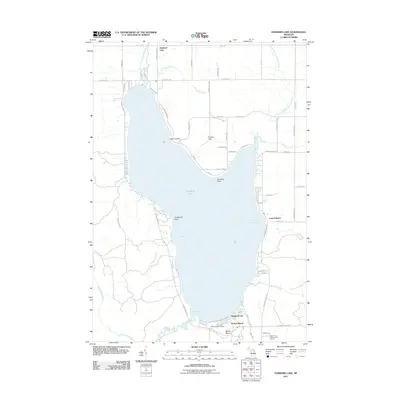 2011 Hubbard Lake2011 Print · USGSHubbard Lake and its surrounding resort communities are captured here in the early twenty-first century. Genealogists and researchers can trace local landmarks like Larson Beach, the Mount Maria Ski Area, and Sucker Creek.
 - 2011 Map of Alpena, 2011 Print
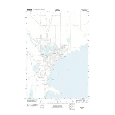 2011 Alpena2011 Print · USGSAlpena's Lake Huron shoreline and river network are captured in detail during the early 2010s. Genealogists and local historians can trace family locations near Evergreen Cemetery, the maritime history of Gilchrist Wharf, or landmarks like the Alpena Lighthouse.
 - 2011 Map of Polaski, 2011 Print
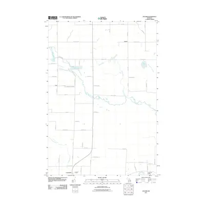 2011 Polaski2011 Print · USGSAlpena County maintains its quiet rural character at the start of the twenty-first century, centered on river valleys and small farming communities. Genealogists can trace family footprints at Leer Lutheran Church Cemetery, Long Rapids, and the historic Orchard Hill Bridge.
 - 2011 Map of Lachine, 2011 Print
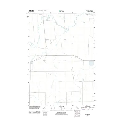 2011 Lachine2011 Print · USGSAlpena County’s rural interior is captured here as it appeared in the early 21st century, centered on the Thunder Bay River valley. Researchers can pinpoint specific local landmarks including the Lachine Post Office, Green Cemetery, and Emerson Station.
 - 2011 Map of Hillman NE, 2011 Print
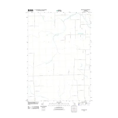 2011 Hillman NE2011 Print · USGSAlpena County's interior is captured here in the early twenty-first century, showing a landscape defined by the North Branch Thunder Bay River. Genealogists and local historians can trace family properties along Reider School Rd or near the small settlement of Avery.
 - 2011 Map of Thunder Bay Island, 2011 Print
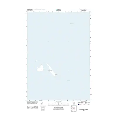 2011 Thunder Bay Island2011 Print · USGSThe maritime landscape east of Alpena is captured here during the early twenty-first century, showing the isolated outposts of the bay. Researchers can locate the Thunder Bay Island Light and trace the shores of Sugar Island and Gull Island.
 - 2011 Map of Long Lake West, 2011 Print
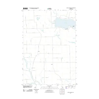 2011 Long Lake West2011 Print · USGSPresque Isle County comes into focus in this early twenty-first-century survey of the lake country around Alpena. Genealogists and local historians can trace the family-named road networks connecting Bolton and Cathro or locate the Pilgrims Rest Cemetery near the North Branch Thunder Bay River.
 - 2011 Map of Royston, 2011 Print
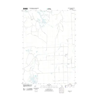 2011 Royston2011 Print · USGSWellington Township and the community of Royston are captured here in the early 2000s, showing a landscape defined by glacial lakes and river branches. You can trace family history at the Montmorency Cemetery or locate the Lake Emma Lookout Tower among the northern wetlands.
 - 2011 Map of Long Lake East, 2011 Print
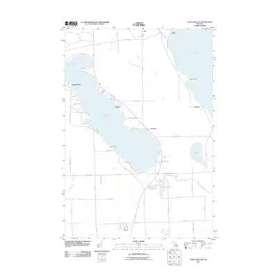 2011 Long Lake East2011 Print · USGSThe Lake Huron coastline and its inland neighbors are captured here in the early twenty-first century. Researchers can trace the development of lakeside settlements like Ashland and Lakewood or locate the Silver City Airpark and the coastal landing at Rockport.
 - 2011 Map of Hillman, 2011 Print
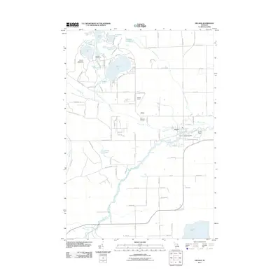 2011 Hillman2011 Print · USGSHillman and the surrounding lake country of Montmorency County are captured here during a period of recreational growth. Local historians can trace family locations near Hillman Cemetery or explore the waterways of Avalon Lake and the Thunder Bay River.
 - 2011 Map of Lake Winyah, 2011 Print
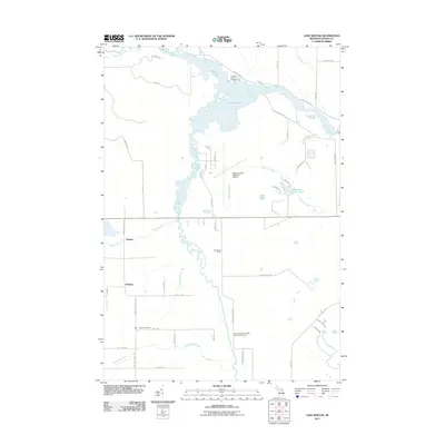 2011 Lake Winyah2011 Print · USGSAlpena County’s water-rich landscape is captured here in the early twenty-first century, centered on the Lake Winyah reservoir and its surrounding river systems. Genealogists and historians can trace local landmarks like Wilson Cemetery and the rural settlements of Paxton and McHarg.
 - 2012 Map of McGinn Creek, 2012 Print
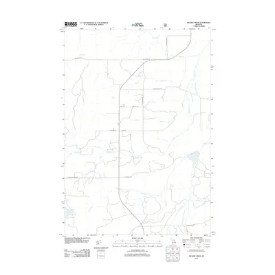 2012 McGinn Creek2012 Print · USGSAlpena County's interior is documented here in the early twenty-first century, showing a rural landscape defined by winding tributaries and local ranch roads. Researchers can trace family history at the Flynn Valley Cem or follow the waters of McGinn Cr and Granberry Lake.
 - 2012 Map of Hubbard Lake SW, 2012 Print
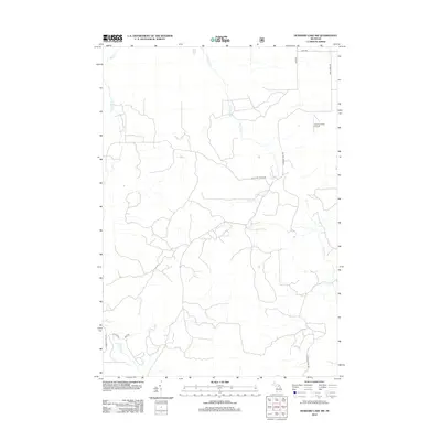 2012 Hubbard Lake SW2012 Print · USGSAlpena County’s interior landscape is shown here in the early twenty-first century, a region defined by its dense creek networks and rural ranch roads. Researchers can trace family-named landmarks like Vlachos Acres Airport or map the paths of Widner Cr and W Fruchey Ranch Rd.
 - 2012 Map of McCollum Lake, 2012 Print
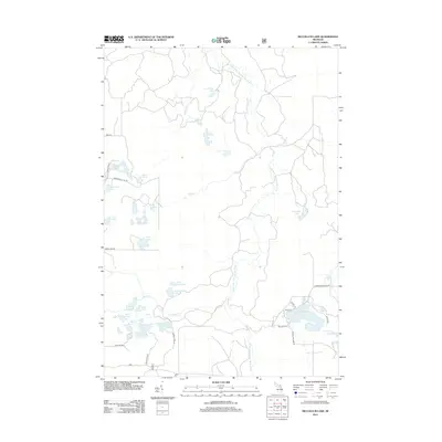 2012 McCollum Lake2012 Print · USGSAlpena County’s forested lake country is shown in detail during the early 2010s, centering on the headwaters of the Thunder Bay River. Genealogists and hikers can trace the shoreline of McCollum Lake and locate the historic Mooney Cem or the remote Port Wine Lake.
 - 2012 Map of Spruce, 2012 Print
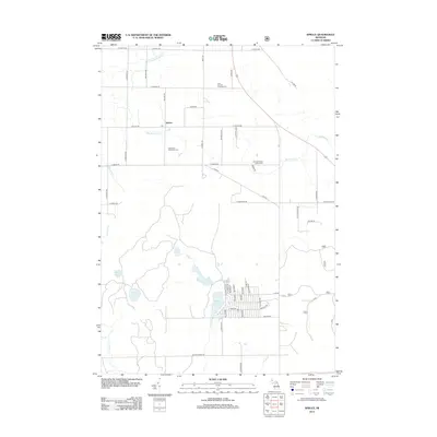 2012 Spruce2012 Print · USGSAlcona County's rural character is on full display in the early 2010s, centered on the small crossroads of Spruce. Researchers can trace family history at the Caledonia Township Cem or explore the recreational lakefronts of Badger Lake and Bear Lake.
 - 2012 Map of Black River, 2012 Print
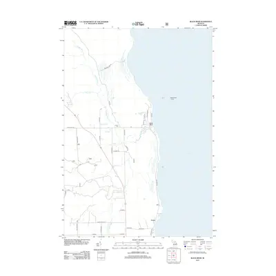 2012 Black River2012 Print · USGSThe Lake Huron shoreline in Alcona County is detailed here just after the turn of the millennium, showing where the Black River flows into the great lake. Genealogists and local historians can trace family-named roads and locate quiet landmarks like Calvary Cem and Alcona Cem.
Showing maps 1-25 of 125
Top cities of Alpena County
Frequently asked questions
- What are the different types of historical maps available for Alpena County?
- What is the oldest map of Alpena County?
- Where can I purchase historical maps of Alpena County for my home or office?
- Where can I download high-res historical maps of Alpena County?
- Are there historical topographic maps available for Alpena County?
- Is there historical aerial imagery available for Alpena County?
- Where are historical maps of Alpena County sourced from?