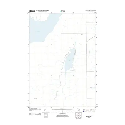
2011 Map of Beaver Lake
USGS Topo · Published 2011About this map
Beaver Lake and the southeastern reaches of Fletcher Pond anchor this portion of Alpena County, showing a landscape defined by its glacial hydrology and recreational infrastructure. The western shore of Beaver Lake is developed with a dense network of local routes such as Beaver Shores Dr and Ponderosa Dr, while the eastern side remains more sparsely settled along Lake Shore Dr. Historically significant landmarks include the Spratt Cemetery near Spratt Rd and the Turtle Lake Lookout Tower in the southwestern corner, reflecting the region's long-standing focus on forest management. This 2011 survey by the U.S. Geological Survey provides clear detail on the numerous creeks, such as Rayburn Creek and Butterfield Creek, that feed the local water systems amidst a grid of rural township roads.
Find a feature on this map
27 named features on this map. Tap any name to fly to it.
Don’t see what you’re looking for? This feature index may not catch every label — zoom into the map to look around manually.
Map Details
Editions of this 2011 Beaver Lake Map
This is the sole edition of this map. No revisions or reprints were ever made.
Other maps of this area

1954 · Tawas City
USGS Topo · 1:250,000

1954 · Alpena
USGS Topo · 1:250,000

1955 · Hillman
USGS Topo · 1:62,500

1957 · Alpena
USGS Topo · 1:250,000

1958 · Alpena
USGS Topo · 1:250,000

1958 · Tawas City
USGS Topo · 1:250,000

1969 · Alpena
USGS Topo · 1:250,000

1971 · Lachine
USGS Topo · 1:24,000

1972 · McCollum Lake
USGS Topo · 1:24,000

1972 · Hubbard Lake SW
USGS Topo · 1:24,000