2010s Maps of Garden Township, Michigan
Explore 40 historic maps of Garden Township from the 2010s. These maps offer a rare glimpse into what life looked like during the 2010s — showing old roads, neighborhoods, homes, and landmarks that have changed or disappeared over time.
Whether you're researching your family's past, planning a metal detecting trip, or studying how Garden Township's landscape evolved across the 2010s, these high-resolution maps are a powerful tool for exploring the history of this region.
- Focus on a specific era: All maps on this page are from the 2010s, giving you a focused view of this time period.
- See what’s changed: Compare century-old streets, trails, and buildings to today's modern landscape using overlays and satellite layers.
- Research with precision: Use these maps for genealogy, historical research, land use analysis, or educational projects.
- View, download, or print: Maps are fully viewable online in high resolution, and can be downloaded or printed for your own records.
Start exploring Garden Township's history through authentic maps from the 2010s. This is your window into the past.
Garden Township, MI maps
(40)- 2011 Map of Hiram Point, 2011 Print
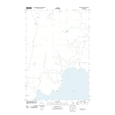 2011 Hiram Point2011 Print · USGSThe Delta County shoreline of Lake Michigan is captured here in the early twenty-first century, revealing a landscape of winding creeks and isolated lakes. Researchers can trace the namesake Hiram Point, the swampy expanse of Bursaw Marsh, and local roads like Garden Grade Rd.
 - 2011 Map of Devils Corner, 2011 Print
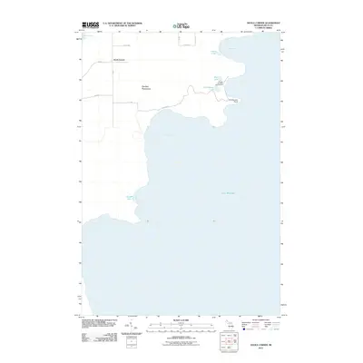 2011 Devils Corner2011 Print · USGSThe Garden Peninsula at the turn of the century shows a quiet coastal landscape of small lakes and isolated settlements. Researchers can trace the layout of Devils Corner and find historic shore features like Gillnet Haven and Portage Bay State Campground.
 - 2011 Map of Hiram Point OE S, 2011 Print
 2011 Hiram Point OE S2011 Print · USGSLake Michigan stretches across the horizon in this 2011 maritime survey of the Michigan coastline. Researchers can examine the offshore hydrography and exact coordinates of this section of Lake Michigan.
 - 2011 Map of Thunder Lake, 2011 Print
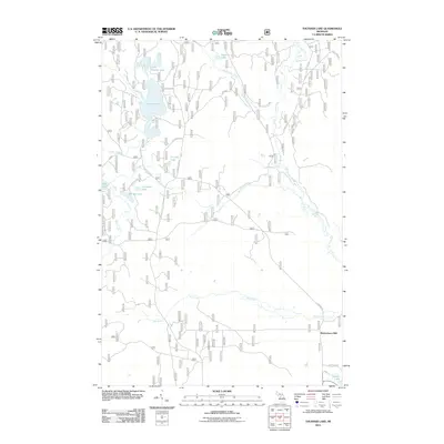 2011 Thunder Lake2011 Print · USGSThis Hiawatha National Forest landscape in the early 21st century is defined by its glacial lakes and the timber legacy of the Upper Peninsula. You can trace the forest road network to Richardsons Mill or explore the shores of Thunder Lake and Indian River.
 - 2011 Map of Corner Lake, 2011 Print
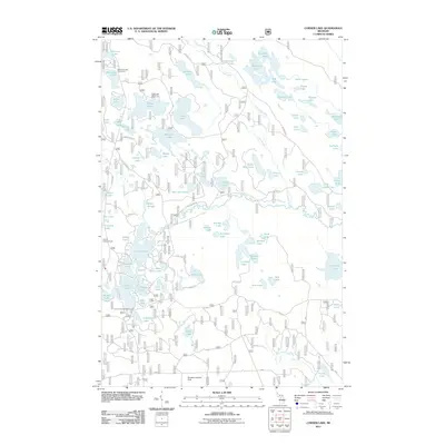 2011 Corner Lake2011 Print · USGSGarden Township and the Hiawatha National Forest are shown in the early twenty-first century as a complex mosaic of water and woods. Local historians can trace the network of forest roads to find the Tie Hill Lookout Tower or the Stueben Landing Field among dozen of named waters like Big Island Lake.
 - 2011 Map of Steuben, 2011 Print
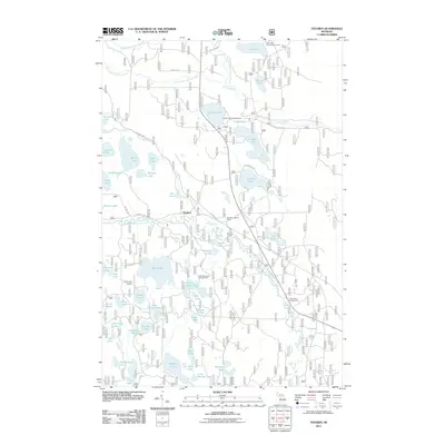 2011 Steuben2011 Print · USGSGarden Township in the Upper Peninsula is shown here as a major recreational and water hub in the early 2000s. Researchers can trace the legacy of the timber era via the Haywire Grade Orv Trl and find local landmarks like the Steuben Lookout Tower and Bass Lake Airport.
 - 2011 Map of Gooseneck Lake, 2011 Print
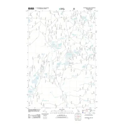 2011 Gooseneck Lake2011 Print · USGSThe central Upper Peninsula's lake country is detailed here during the early twenty-first century. Researchers can trace the water systems of the Fishdam River and locate seasonal landmarks like the Camp Seven Lake Campground and Stueben Landing Field.
 - 2011 Map of Cooks, 2011 Print
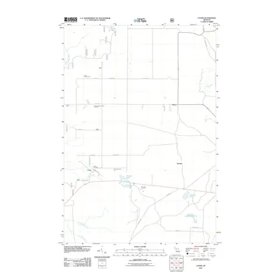 2011 Cooks2011 Print · USGSThe settlement of Cooks and its surrounding forest lands in Delta County are captured here in the early twenty-first century. Genealogists and local historians can locate several burial grounds like the Seventh Day Adventist Cemetery and trace waterways including Spring Creek and Ninemile Lake.
 - 2011 Map of Garden, 2011 Print
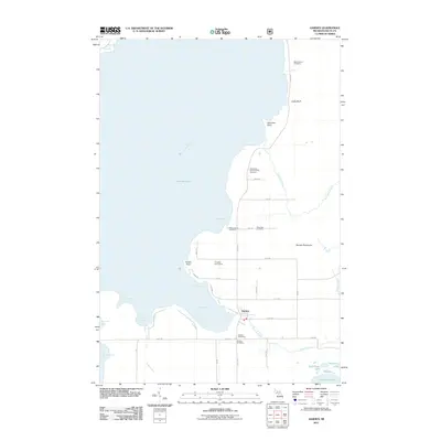 2011 Garden2011 Print · USGSThe Garden Peninsula at the start of the 2010s shows a quiet coastal community deeply rooted in its maritime and family history. Genealogists can locate several family burial sites like the Cousineau-Potvin Family Cemetery and landmarks such as Vans Harbor.
 - 2011 Map of Garden Corners, 2011 Print
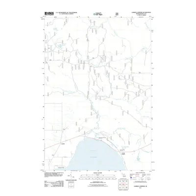 2011 Garden Corners2011 Print · USGSGarden Township and the northern reaches of Big Bay de Noc are mapped here in the early twenty-first century. Researchers can locate the settlements of Isabella and Garden Corners, along with remote landmarks like Vans Camp and the Fish Dam Campground and RV Park.
 - 2014 Map of Corner Lake, 2014 Print
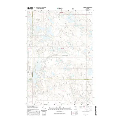 2014 Corner Lake2014 Print · USGSThe Upper Peninsula wilderness of Delta and Schoolcraft counties is captured here in the early twenty-first century. Researchers and outdoorsmen can trace the complex network of glacial waters including Big Island Lake, Little Indian River, and Petes Lake.
 - 2014 Map of Gooseneck Lake, 2014 Print
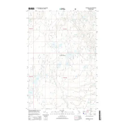 2014 Gooseneck Lake2014 Print · USGSGarden Township and the Hiawatha National Forest are shown in great detail during the early 2010s, revealing a landscape defined by Northwoods water. Researchers can trace the courses of the Fishdam River and Carr Cr or locate specific points like Camp Seven Lake and Jackpine Lake.
 - 2014 Map of Thunder Lake, 2014 Print
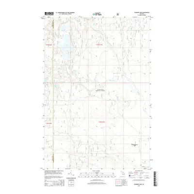 2014 Thunder Lake2014 Print · USGSThe Upper Peninsula’s dense woodlands and glacial lake systems are shown in great detail during the early twenty-first century. Researchers can locate Richardsons Mill and trace the winding courses of the Indian River and Iron Creek through the Hiawatha National Forest.
 - 2014 Map of Steuben, 2014 Print
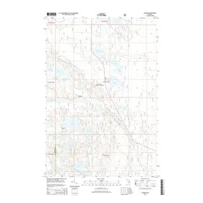 2014 Steuben2014 Print · USGSGarden Township in the Upper Peninsula was a landscape of dense timber and glacial lakes in the early twenty-first century. Researchers can trace the layout of Steuben and locate remote landmarks such as the Bass Lake Airport or the banks of the Indian River.
 - 2014 Map of Hiram Point OE S, 2014 Print
 2014 Hiram Point OE S2014 Print · USGSThe open waters of northern Lake Michigan are charted here during the early twenty-first century. Researchers can trace the precise aquatic boundary between Delta Co and Schoolcraft Co and locate the shoreline of Section 26 T39N R18W.
 - 2014 Map of Hiram Point, 2014 Print
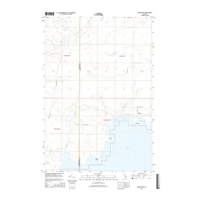 2014 Hiram Point2014 Print · USGSThe Delta and Schoolcraft County line meets the Lake Michigan shore in this Michigan Upper Peninsula study. Researchers can trace the rugged coastline from Hiram Point to Little Harbor and locate the Farley Grave Site near the mouth of Parent Cr.
 - 2014 Map of Devils Corner, 2014 Print
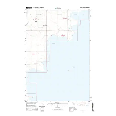 2014 Devils Corner2014 Print · USGSThe Garden Peninsula is captured here in the early twenty-first century, showcasing a rugged Lake Michigan shoreline. Researchers can trace the layout of Devils Corner and locate coastal landmarks like Charboneau Point, Portage Bay, and Sucker Lake.
 - 2014 Map of Cooks, 2014 Print
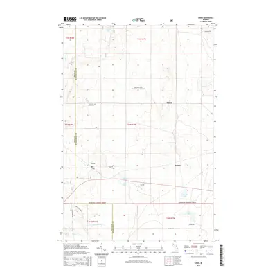 2014 Cooks2014 Print · USGSThe Upper Peninsula forest lands of Delta and Schoolcraft counties are captured here in the early twenty-first century. Genealogists can trace family heritage through the Cooks Cem, Old Cooks Cem, and the waterways of the Little Fishdam River and Ninemile Lake.
 - 2014 Map of Garden, 2014 Print
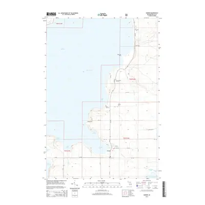 2014 Garden2014 Print · USGSThe Garden Peninsula comes into sharp focus during the early 2010s, showing the intersection of maritime life and small-town Michigan. Genealogists can trace family history through several sites like New Garden Cem, Kates Bay Cem, and Vans Harbor.
 - 2014 Map of Garden Corners, 2014 Print
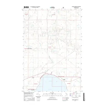 2014 Garden Corners2014 Print · USGSThe northern shores of the Big Bay de Noc meet the deep woods of the Upper Peninsula in this early 21st-century study. Genealogists and local historians can trace the coastal settlements of Garden Corners and Isabella or map the waterways of the Hiawatha National Forest.
 - 2017 Map of Thunder Lake, 2017 Print
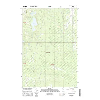 2017 Thunder Lake2017 Print · USGSGarden Township and the surrounding Hiawatha National Forest are shown in detail during the late twenty-first century. Researchers can trace the intricate waterways and timber lands spanning the Delta and Schoolcraft County line, including Thunder Lake, Big Spring, and the Indian River.
 - 2017 Map of Hiram Point, 2017 Print
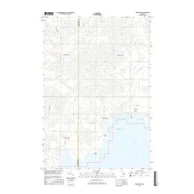 2017 Hiram Point2017 Print · USGSThe Lake Michigan shoreline in Delta County appears here in the modern era, showing a landscape defined by expansive marshes and rocky points. Genealogists and historians can locate the Farley Grave Site and trace the drainage of Bursaw Creek and Parent Creek into the bay.
 - 2017 Map of Steuben, 2017 Print
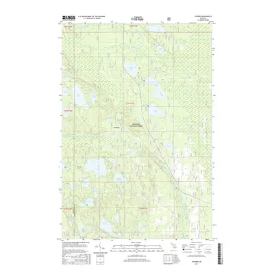 2017 Steuben2017 Print · USGSUpper Peninsula wilderness in the Hiawatha National Forest is captured here during the late 2010s. Researchers can trace the layout of the Steuben settlement or locate isolated aviation landmarks like the Bass Lake Airport and numerous fishing spots like Colwell Lake.
 - 2017 Map of Corner Lake, 2017 Print
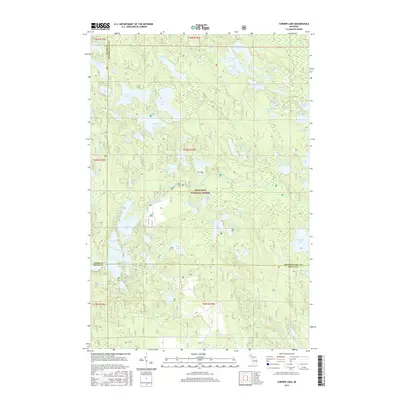 2017 Corner Lake2017 Print · USGSThe Upper Peninsula wilderness unfolds at the junction of Delta, Alger, and Schoolcraft counties in this recent survey. Outdoor enthusiasts and local researchers can trace the dense network of water bodies within the Hiawatha National Forest, including Big Island Lake, Petes Lake, and Norway Lake.
 - 2017 Map of Cooks, 2017 Print
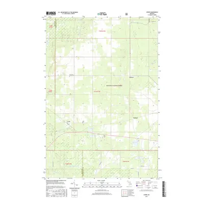 2017 Cooks2017 Print · USGSUpper Peninsula timberlands and wetlands meet at the Delta and Schoolcraft county line in the late 2010s. Researchers can locate family landmarks like the Old Cooks Cemetery and trace the rural settlements of Cooks, Elkhorn, and Springer.
Showing maps 1-25 of 40
Top cities near Garden Township
Top neighborhoods of Garden Township
Frequently asked questions
- What are the different types of historical maps available for Garden Township?
- What is the oldest map of Garden Township?
- Where can I purchase historical maps of Garden Township for my home or office?
- Where can I download high-res historical maps of Garden Township?
- Are there historical topographic maps available for Garden Township?
- Is there historical aerial imagery available for Garden Township?
- Where are historical maps of Garden Township sourced from?