2000s (21st Century) Maps of Gratiot County, Michigan
Explore 100 historic maps of Gratiot County from the 2000s (21st Century). These maps offer a rare glimpse into what life looked like during the 2000s — showing old roads, neighborhoods, homes, and landmarks that have changed or disappeared over time.
Whether you're researching your family's past, planning a metal detecting trip, or studying how Gratiot County's landscape evolved across the 2000s, these high-resolution maps are a powerful tool for exploring the history of this region.
- Focus on a specific era: All maps on this page are from the 2000s, giving you a focused view of this time period.
- See what’s changed: Compare century-old streets, trails, and buildings to today's modern landscape using overlays and satellite layers.
- Research with precision: Use these maps for genealogy, historical research, land use analysis, or educational projects.
- View, download, or print: Maps are fully viewable online in high resolution, and can be downloaded or printed for your own records.
Start exploring Gratiot County's history through authentic maps from the 2000s. This is your window into the past.
Gratiot County, MI maps
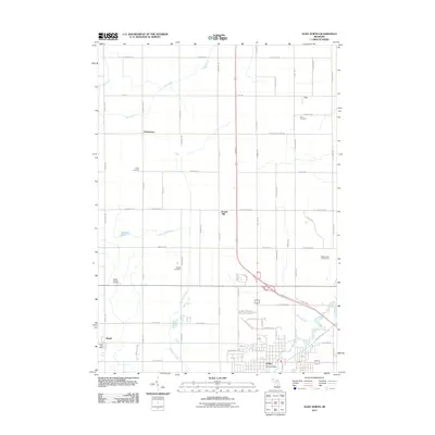
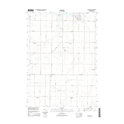
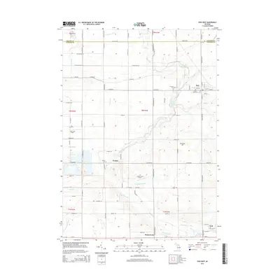
(100)- 2011 Map of Ovid West, 2011 Print
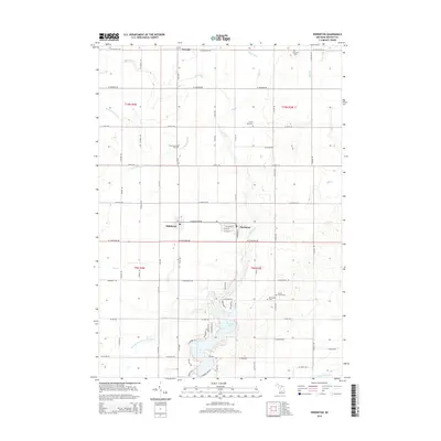
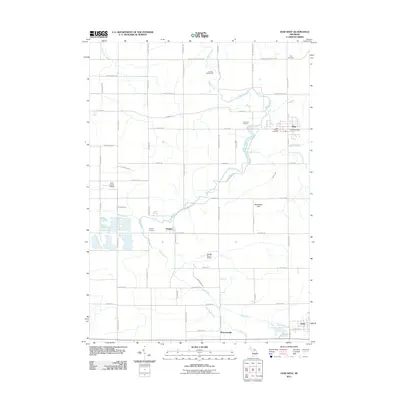 2011 Ovid West2011 Print · USGSCovers Gratiot County, including Ovid, Duplain, and other nearby areas
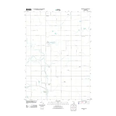
 - 2011 Map of Merrill, 2011 Print
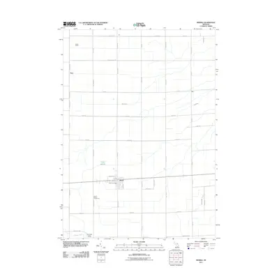 2011 Merrill2011 Print · USGSCovers Gratiot County, including Merrill, Wheeler Township, and other nearby areas
 - 2011 Map of Saint Johns North, 2011 Print
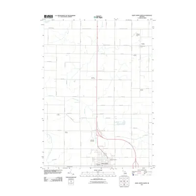 2011 Saint Johns North2011 Print · USGSCovers Gratiot County, including St. Johns, Greenbush Township, and other nearby areas
 - 2011 Map of Pompeii, 2011 Print
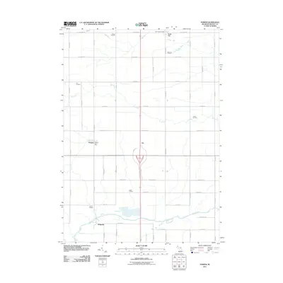 2011 Pompeii2011 Print · USGSCovers Gratiot County, including North Star, Newark Township, and other nearby areas
 - 2011 Map of Rathbone, 2011 Print
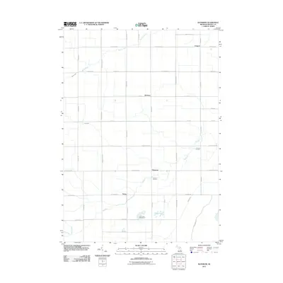 2011 Rathbone2011 Print · USGSCovers Gratiot County, including Lafayette Township, Hamilton Township, and other nearby areas
 - 2011 Map of Carson City, 2011 Print
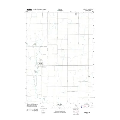 2011 Carson City2011 Print · USGSCovers Gratiot County, including Carson City, Crystal Township, and other nearby areas
 - 2011 Map of Perrinton, 2011 Print
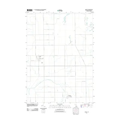
 2011 Perrinton2011 Print · USGSCovers Gratiot County, including Newark, Perrinton, and other nearby areas
 - 2011 Map of Hubbardston, 2011 Print
 2011 Hubbardston2011 Print · USGSCovers Gratiot County, including Fowler, Pewamo, and other nearby areas
 - 2011 Map of Chapin, 2011 Print
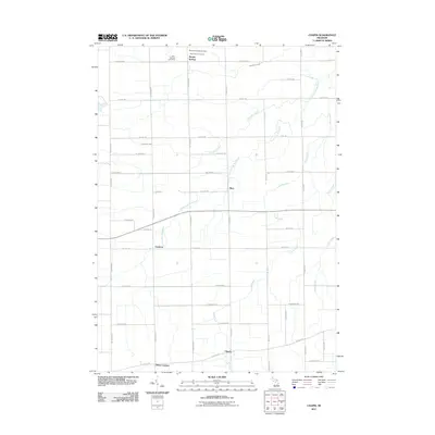 2011 Chapin2011 Print · USGSCovers Gratiot County, including Chapin, Fairfield Township, and other nearby areas
 - 2011 Map of Ithaca, 2011 Print
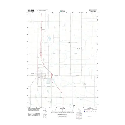 2011 Ithaca2011 Print · USGSCovers Gratiot County, including Ithaca, Newark Township, and other nearby areas
 - 2011 Map of Maple Rapids, 2011 Print
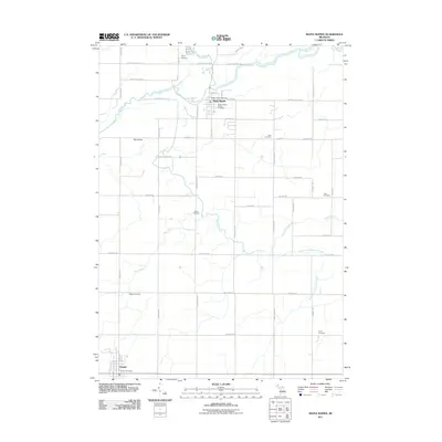 2011 Maple Rapids2011 Print · USGSCovers Gratiot County, including Fowler, Maple Rapids, and other nearby areas
 - 2011 Map of Sumner, 2011 Print
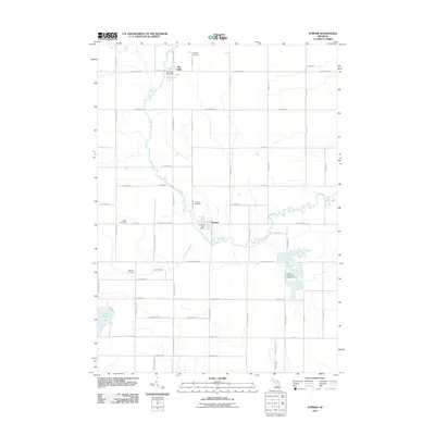 2011 Sumner2011 Print · USGSCovers Gratiot County, including Sumner, Crystal Township, and other nearby areas
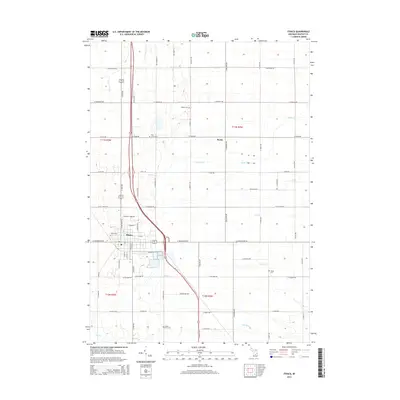
 - 2011 Map of Alma North, 2011 Print
 2011 Alma North2011 Print · USGSCovers Gratiot County, including Alma, Saint Louis, and other nearby areas
 - 2011 Map of Lakefield, 2011 Print
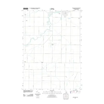
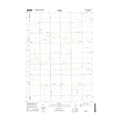
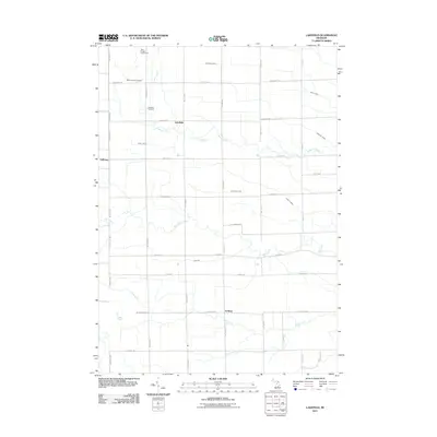 2011 Lakefield2011 Print · USGSCovers Gratiot County, including Lakefield, Lafayette Township, and other nearby areas
 - 2011 Map of Riverdale, 2011 Print
 2011 Riverdale2011 Print · USGSCovers Gratiot County, including Lincoln Township, Riverdale, and other nearby areas
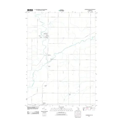
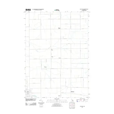
 - 2011 Map of Ashley, 2011 Print
 2011 Ashley2011 Print · USGSCovers Gratiot County, including Ashley, Washington Township, and other nearby areas
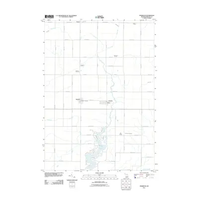
 - 2011 Map of Breckenridge, 2011 Print
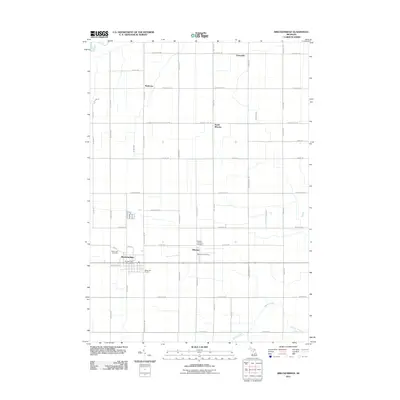 2011 Breckenridge2011 Print · USGSCovers Gratiot County, including Wheeler, Breckenridge, and other nearby areas
 - 2011 Map of Saint Louis, 2011 Print
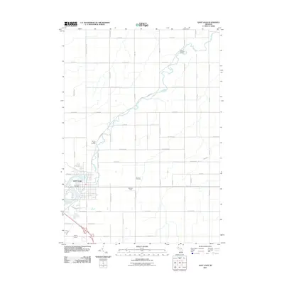 2011 Saint Louis2011 Print · USGSCovers Gratiot County, including Saint Louis, Coe Township, and other nearby areas
 - 2011 Map of Ovid East, 2011 Print
 2011 Ovid East2011 Print · USGSCovers Gratiot County, including Ovid, Fairfield Township, and other nearby areas
 - 2011 Map of Alma South, 2011 Print
 2011 Alma South2011 Print · USGSCovers Gratiot County, including Alma, Ithaca, and other nearby areas
 - 2014 Map of Ithaca, 2014 Print
 2014 Ithaca2014 Print · USGSCovers Gratiot County, including Ithaca, Newark Township, and other nearby areas
 - 2014 Map of Alma South, 2014 Print
 2014 Alma South2014 Print · USGSCovers Gratiot County, including Alma, Ithaca, and other nearby areas
 - 2014 Map of Lakefield, 2014 Print
 2014 Lakefield2014 Print · USGSCovers Gratiot County, including Lakefield, Lafayette Township, and other nearby areas
 - 2014 Map of Ovid West, 2014 Print
 2014 Ovid West2014 Print · USGSCovers Gratiot County, including Ovid, Duplain, and other nearby areas
 - 2014 Map of Perrinton, 2014 Print
 2014 Perrinton2014 Print · USGSCovers Gratiot County, including Newark, Perrinton, and other nearby areas
Showing maps 1-25 of 100
Top cities of Gratiot County
Frequently asked questions
- What are the different types of historical maps available for Gratiot County?
- What is the oldest map of Gratiot County?
- Where can I purchase historical maps of Gratiot County for my home or office?
- Where can I download high-res historical maps of Gratiot County?
- Are there historical topographic maps available for Gratiot County?
- Is there historical aerial imagery available for Gratiot County?
- Where are historical maps of Gratiot County sourced from?